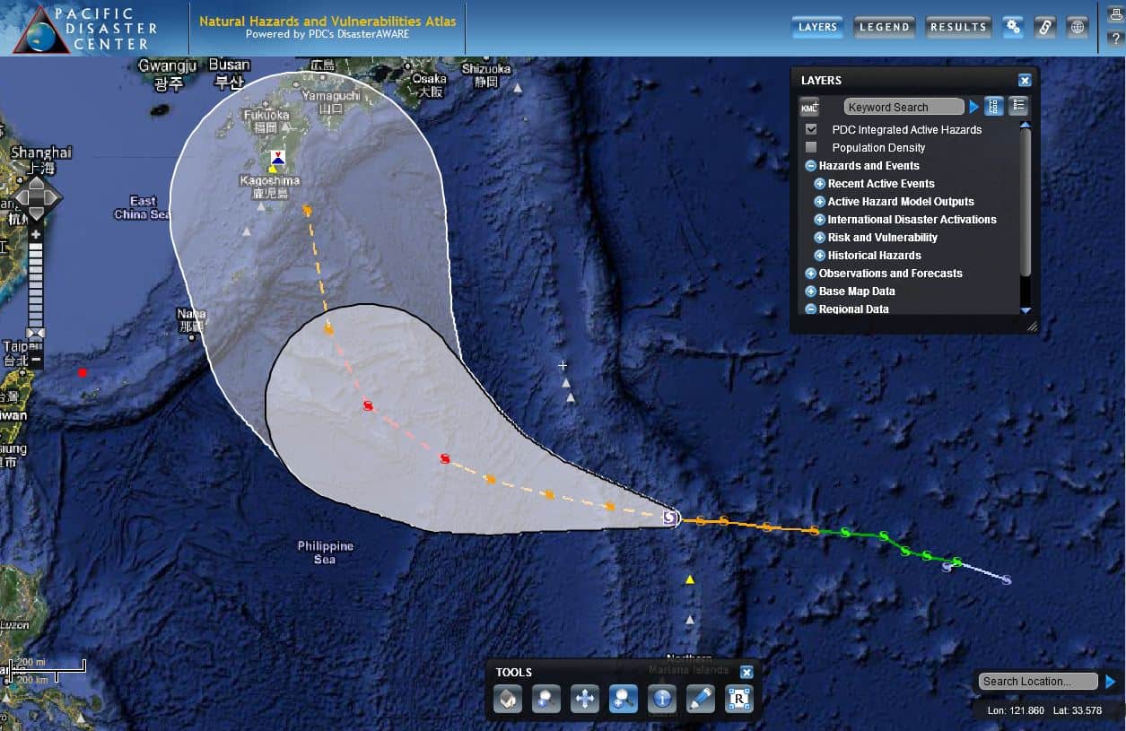
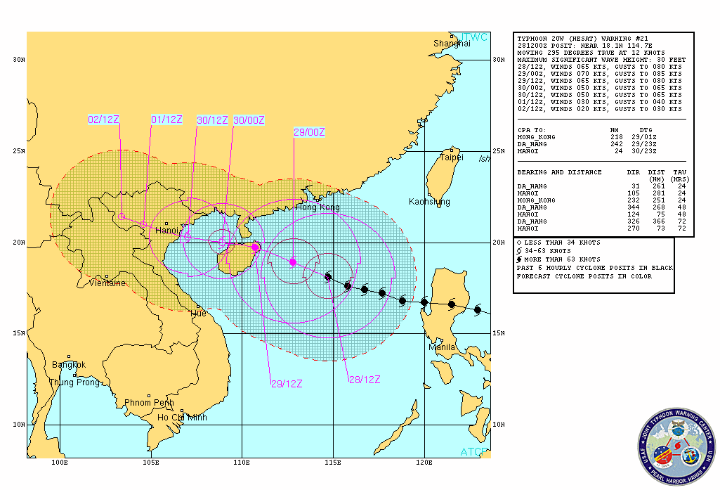
Tropical Cyclone Kalmaegi is currently churning west-northwest in the South China Sea, generating waves up to 22 feet, according to the Joint Typhoon Warning Center (JTWC) forecast. JTWC expects Kalmaegi to graze northern Hainan Island, traveling through the Gulf of Tonkin, and making landfall slightly north of Vietnam’s capital of Hanoi late on Tuesday, September 16 (local time, NASA). Bulletins are also being issued by the Hong Kong Observatory, with the latest indicating flights to Hong Kong International Airport may be affected.
Kalmaegi (known in the Philippines as Luis) developed in the northwestern Pacific Ocean on September 10 and intensified into a typhoon before striking northern Luzon, Philippines, on the evening of Sunday September 14, unleashing fierce winds and torrential rains. The latest update from the Philippine government’s disaster mitigation agency, National Disaster Risk Reduction and Management Council (NDRRMC), reports 17,633 people affected, with displaced persons inside 64 evacuation centers.
Prior to the storm’s arrival, the Philippine government issued numerous public storm warnings for dangerous storm surge and intense rainfall that could trigger landslides and flash flooding, evacuated flood prone and low-lying areas, and pre-positioned food packs in northern communities for displaced families. In addition, army and police forces were on standby for possible search and rescue operations.
For more information on Typhoon Kalmaegi:
• Visit the JTWC for the latest updates,
• Find information from Hong Kong Observatory, or
• Find updates from NDRRMC.

