

Current Snapshot
For all the latest updates visit: DisasterAWARE
1800x1080e
2e
3e
ec
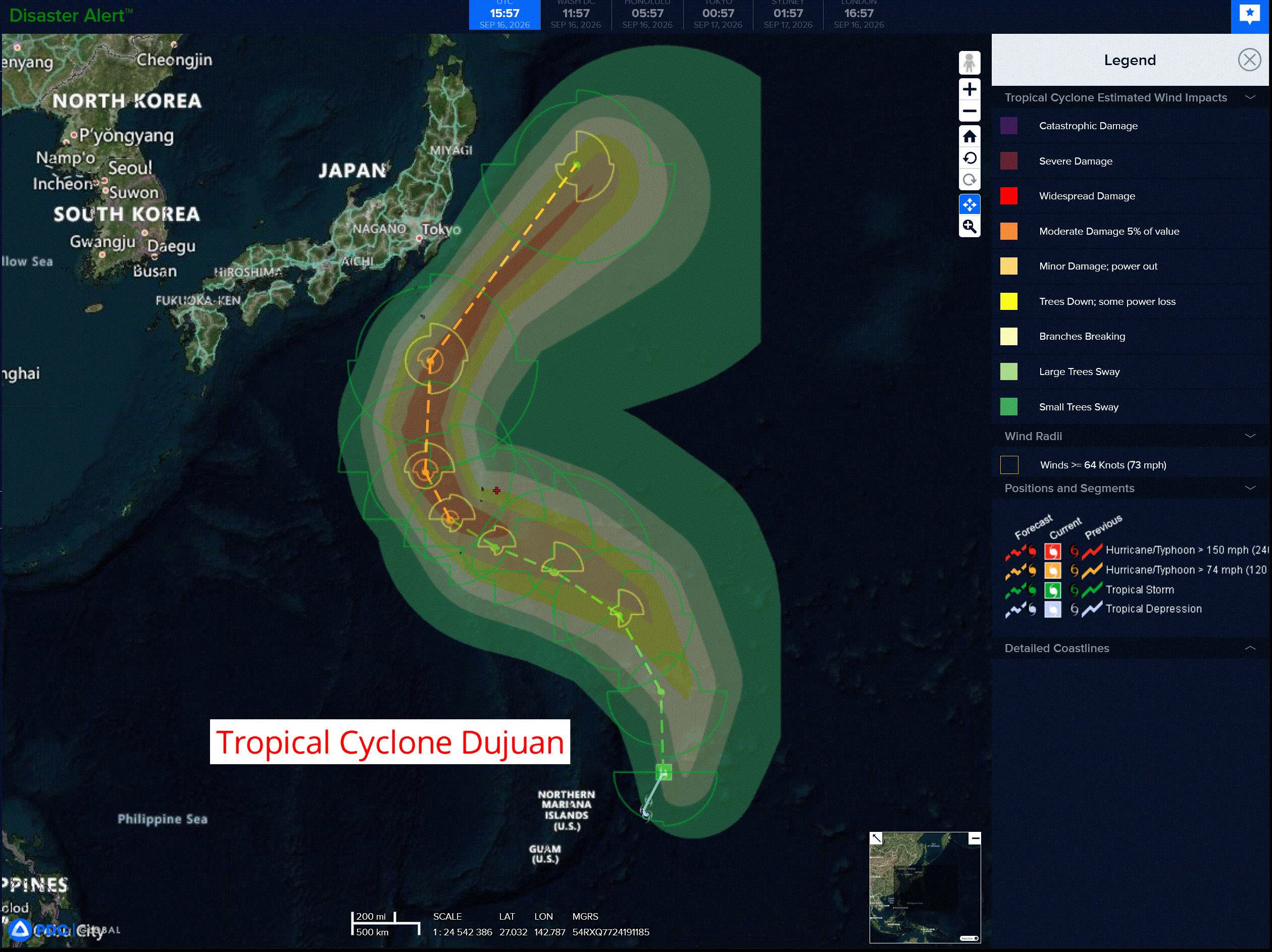
24w
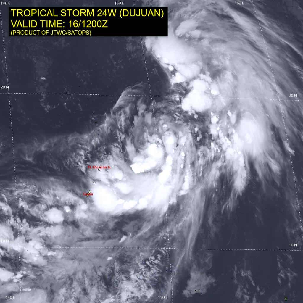
24W_161200sair
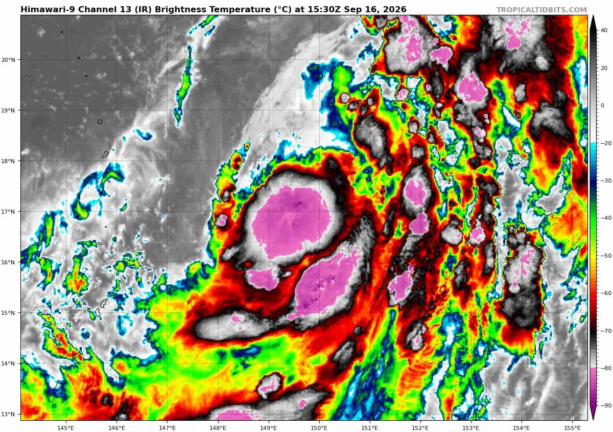
himawari9_ir_24W_202609161530_lat16.5-lon149.5
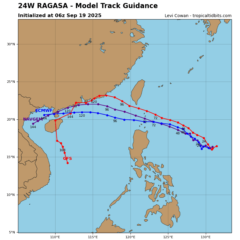
24W_tracks_latest
By PDC’s Senior Weather
Specialist Glenn James

The Pacific Disaster Center’s (PDC Global) Wednesday, September 17, 2026, Tropical Cyclone Activity Report…for the Pacific Ocean, the Indian Ocean, and adjacent Seas.
Tropical Cyclones
Tropical Cyclone 24W (Dujuan) is located about 277 NM east-northeast of Saipan
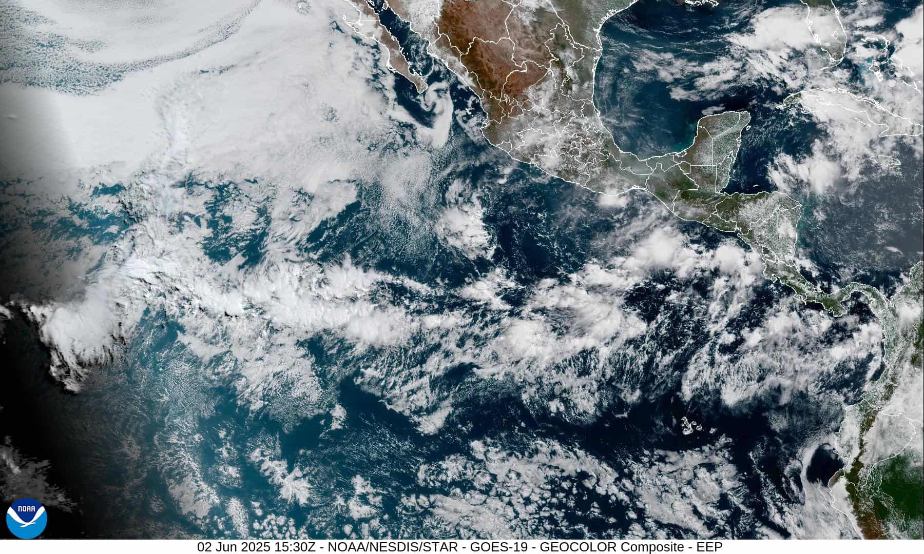
Northeast Pacific: There are no Tropical Cyclones
Gulf of California:
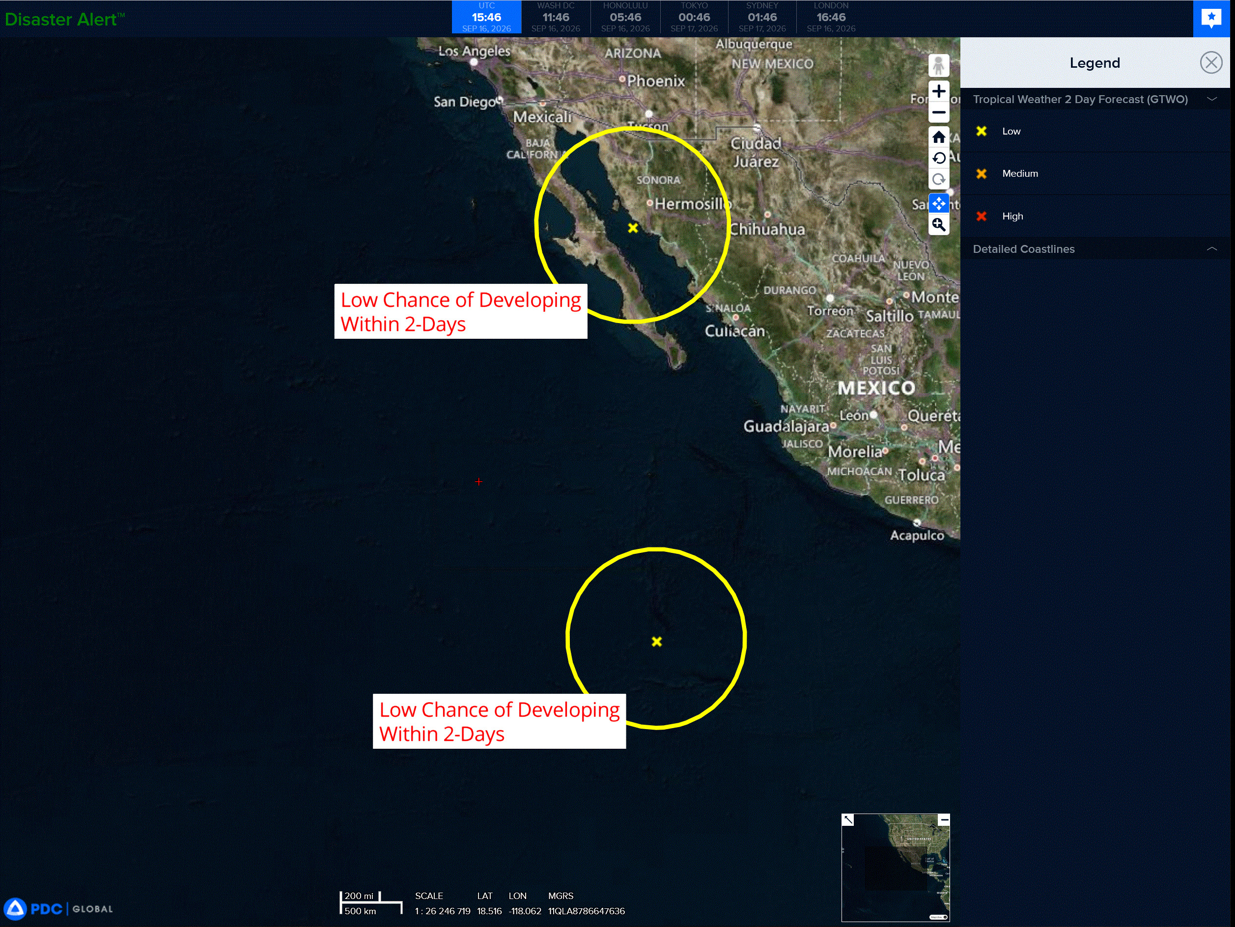
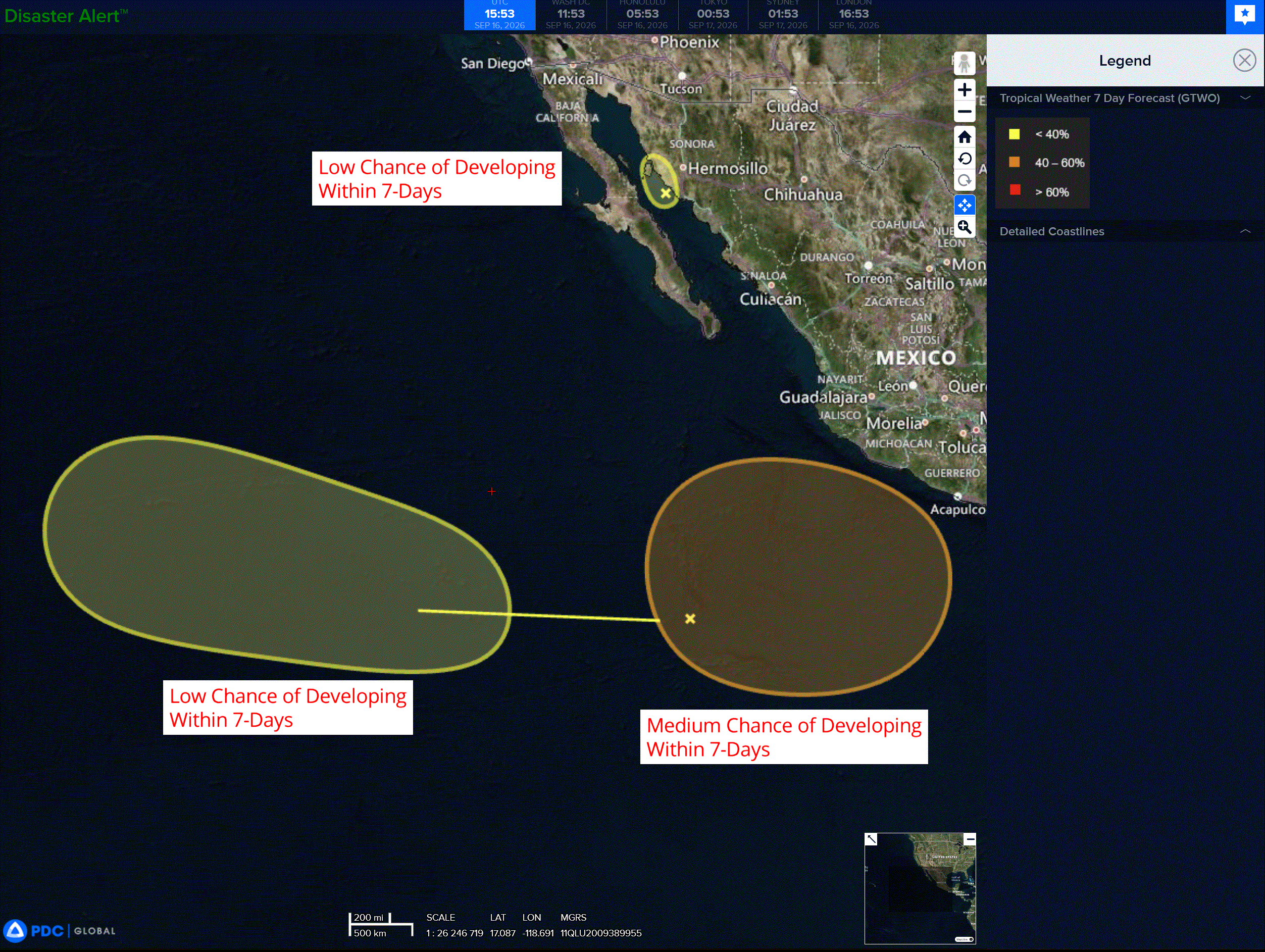
An area of low pressure over the central Gulf of California is bringing heavy rains to portions of the Mexican state of Sonora. Although the development chances appear to be decreasing since the system is expected to move inland later this morning, heavy rains will likely continue across portions of the state of Sonora during the next day or so, and could cause isolated flooding.
* Formation chance through 48 hours…low…20 percent
* Formation chance through 7 days…low…20 percent
Southwest of Southwestern Mexico:
An area of low pressure could form well offshore of southwestern Mexico within the next few days. Environmental conditions appear conducive for some gradual development, and this system could become a tropical depression early next week while it moves slowly northwestward or northward.
* Formation chance through 48 hours…low…near 0 percent
* Formation chance through 7 days…medium…50 percent
Western East Pacific:
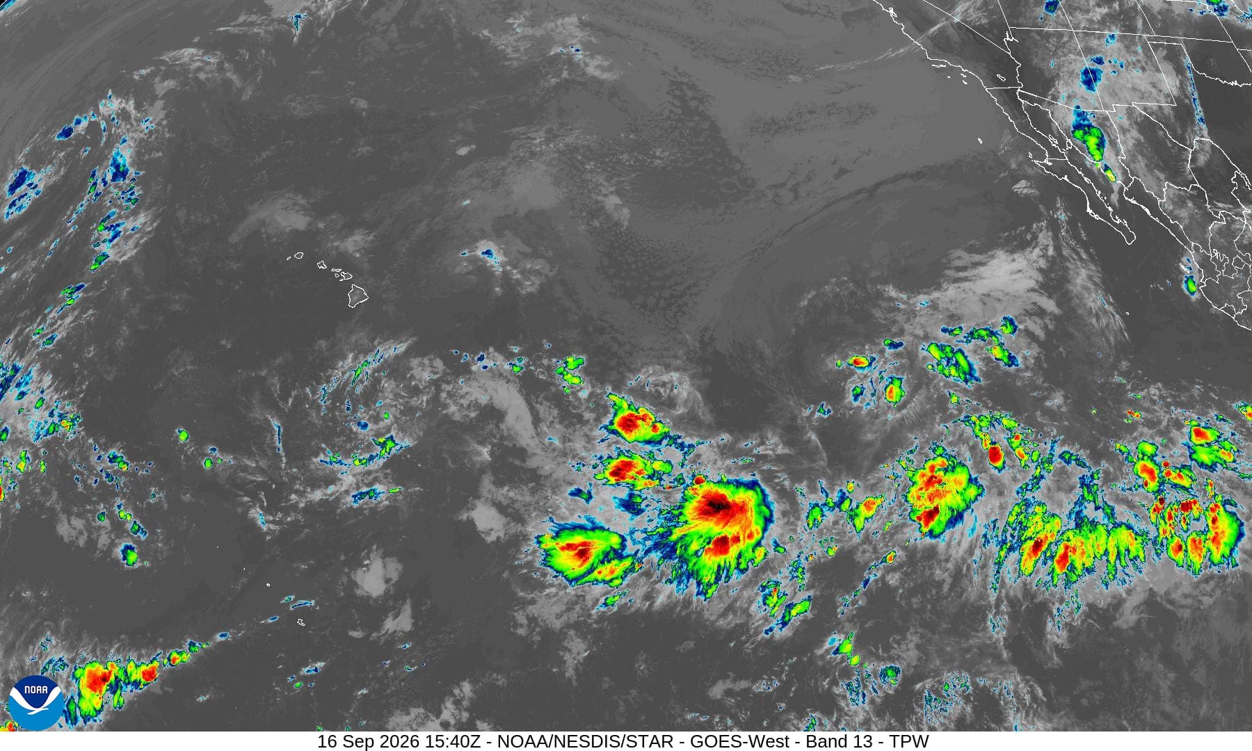
A tropical wave is producing disorganized showers and thunderstorms well to the south of the southern tip of the Baja California Peninsula. Upper-level winds are forecast to be unfavorable for significant development through the weekend as the system moves westward at 10 to 15 mph. However, some gradual development of this system is possible early next week when it reaches the western portion of the east Pacific basin.
* Formation chance through 48 hours…low…near 0 percent
* Formation chance through 7 days…low…30 percent
Central North Pacific: There are no Tropical Cyclones
Western Pacific, Indian Ocean, and adjacent Seas:
Western Pacific
Tropical Cyclone 24W (Dujuan)
According to the JTWC warning number 5
Animated enhanced infrared (eir) satellite imagery depicts improved convective development and structural consolidation of tropical storm 24W (Dujuan), as the system accelerates northeastward. While the low-level circulation center (llcc) remains slightly elongated, deep convection is building nearly throughout the vicinity of the vortex, with the exception of the northwestern quadrant still dominated by a dry air mass.
Environmental analysis discloses a conducive development regime, supported by highly favorable, warm (29-30 c) sea surface temperatures (sst), dual-channel poleward and equatorward outflow channels, and benign vertical wind shear (vws) of 5-10 kts. These stimulating parameters are concurrently offset by the continuous advection of dry tropospheric air entraining along the northwestern flank.
TS 24W is currently transiting along a north-northeastward translation vector, guided primarily by the steering flow of the elongated near-equatorial ridge (ner) anchored to the southeast. The co-located subtropical ridge (str) positioned to the northeast is prognosticated to reorient eastward and retrograde slightly, as an upper-level trough advances from the west. as such, a prevalent northward track is anticipated for the coming 12 hours, prior to the system encountering a building steering gradient associated with the subsequent building southwestern flank of the aforementioned str, which will deviate the trajectory northwestward through 72 hours.
Subsequent to 72 hours, TS Dujuan will navigate the western periphery of the ridge axis prior to veering northward, culminating in a rapid northeastward acceleration in close proximity to the eastern seaboard of Honshu, Japan. Track prognosis uncertainty persists at moderate levels, principally stemming from the temporal progression of the recurvature steps. In turn, the proximity to the coast of Honshu will vary directly with the complex steering hand-off between steering mechanisms and the
rate of str expansion.
Intensity outlooks project gradual intensification, supported by coherent thermodynamic conditions.
several rapid intensification aids triggered during this model run, increasing the potential for faster development. Simultaneously, intermediate 36 to 48 hours will exhibit an intensification plateau as
dry-air advection aggressively entrains into the central vortex core, in conjunction with the temporarily reduced upper-level outflow. Subsequently, TS 24W will resume intensification, peaking at 70-75 kts
between 72 and 96 hours.
in the later hours, ensemble solutions project mid-level dry air entirely enveloping the vortex structure, terminating significant development, just prior to the onset of interaction with the baroclinic zone and strong upper-level flow to the north. While restructuring vws profiles escalate to 15-20 kts after 72 hours, these dynamic impediments are somewhat mitigated as the cyclone integrates into a highly ventilated poleward exhaust channel induced by the jet streak over Japan.