

Current Snapshot
For all the latest updates visit: DisasterAWARE
c
1800x1080ec
infa
30W_301200sair
30W_tracks_latest
91b
himawari9_ir_91B_202610301350_lat9.5-lon93.2
91B_tracks_latest
By PDC’s Senior Weather
Specialist Glenn James

The Pacific Disaster Center’s (PDC Global) Friday, October 30, 2026, Tropical Cyclone Activity Report…for the Pacific Ocean, the Indian Ocean, and adjacent Seas.
Tropical Cyclones
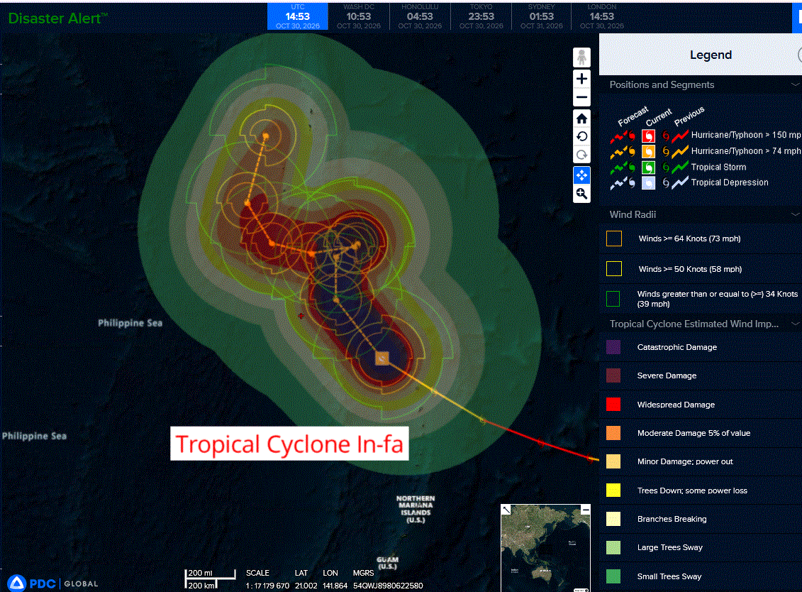
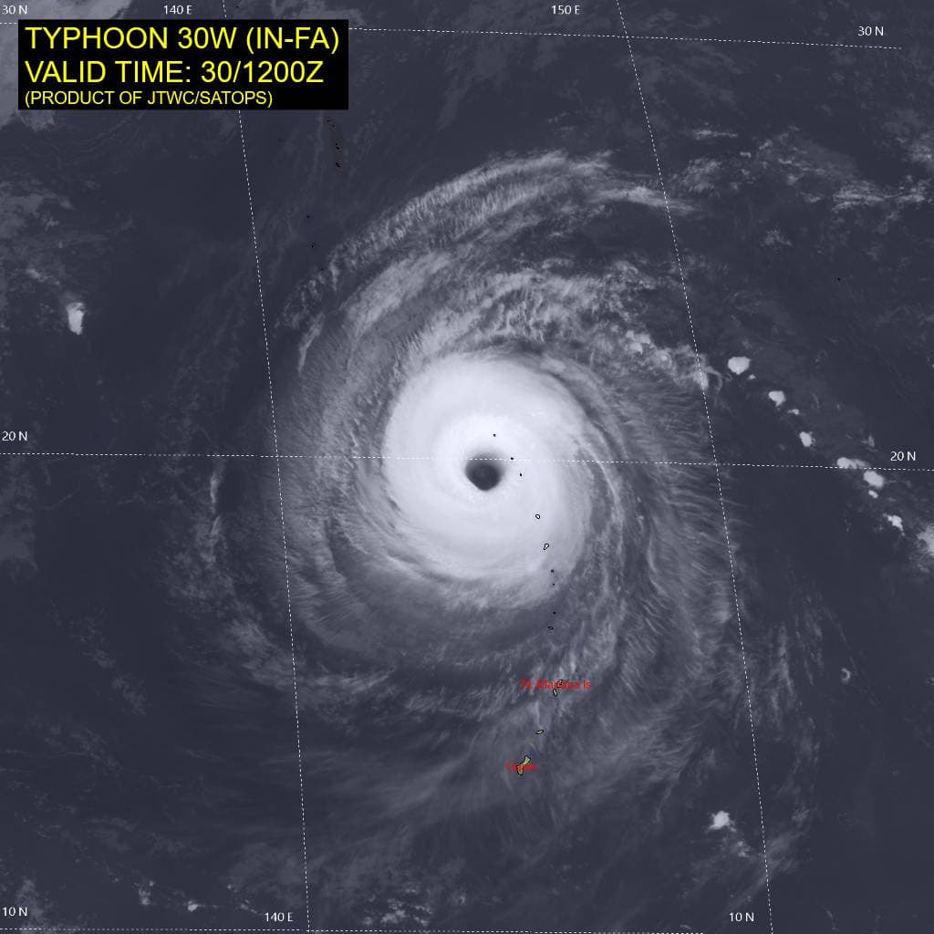
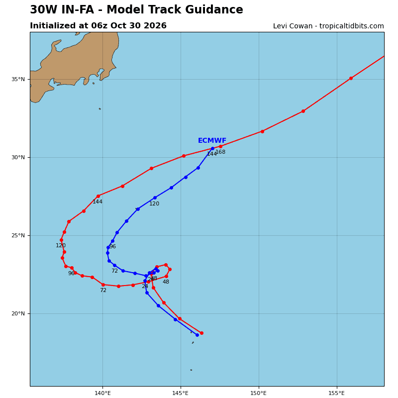
Tropical Cyclone 30W (In-fa)…is located approximately 87 NM northwest of Agrihan
Northeast Pacific: There are no Tropical Cyclones
Central North Pacific: There are no Tropical Cyclones
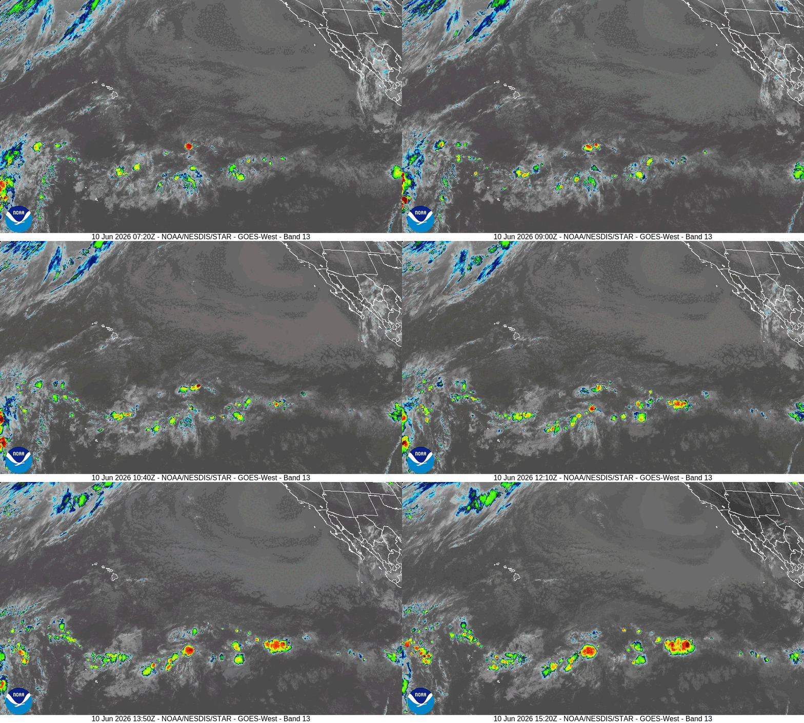
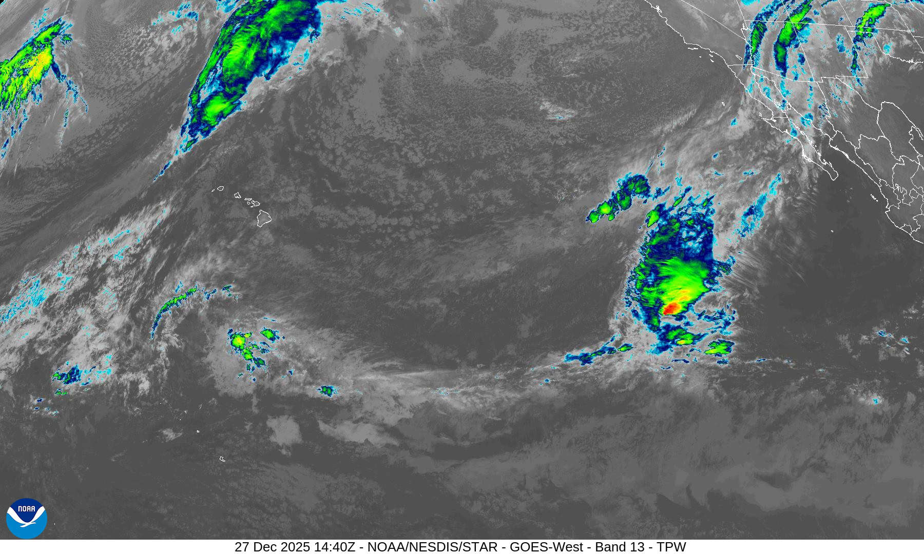
>>> Well Southeast of the Hawaiian Islands:
A broad area of low pressure is likely to develop well to the southeast of the Hawaiian Islands this weekend or early next week. Thereafter, environmental conditions appear generally favorable for some slow development of this system as it moves westward to west-northwestward into the Central Pacific basin.
* Formation chance through 48 hours…low…near 0 percent
* Formation chance through 7 days…low…30 percent
Western Pacific, Indian Ocean, and adjacent Seas:
Western Pacific
Tropical Cyclone 30W (In-fa)
According to the JTWC warning number 29…sustained winds were 120 knots with gusts to 145 knots
The satellite appearance of typhoon (ty) 30W has remained quite
stable over the past six hours in animated enhanced infrared (eir) satellite imagery. The average cdo cloud top temperatures have warmed a few degrees, and the 40-nm wide eye has cooled by only 1 degree to +19 degrees celsius. The convective structure is still quasi-annular in nature, an assessment supported by a 300640z ssmis pass, which revealed a very impressive solid ring with a small convective band to the south. A 300832z rcm-1 sar pass estimated maximum winds of 125 kts along the northern and eastern side of the eyewall and wind radii virtually unchanged from prior uhr scatterometer data.
The environment remains favorable, with low vertical wind shear (vws), ocean heat content (ohc) values around 80-100 kj per cm2, and moderate radial outflow aloft.
TY 30W will continue northwestward and begin rounding the southwestern periphery of the str, resulting in a poleward turn over the next 12 hours. A progressive longwave trough passing over Honshu has created a large weakness in the str, and
consequently the system will slow down as it enters the area of
competing steering influences.
By 24 hours, the trough axis will be due north of the vortex, and the system will begin to turn northeastward. However, the trough will be moving fast, and with a separate str building westward and rapidly closing the weakness, ty 30W should turn west-southwestward under the steering influence of the southeastern flank of the str. Near 72 hours, another trough passing through Honshu will weaken the str, allowing ty 30W to make the final poleward turn.
By 120 hours, the system should begin accelerating north-northeastward along the northwestern periphery of the ridge to the southeast. The JTWC track confidence is low because large uncertainty remains in the evolution of these synoptic-scale features, as well as the precise location of ty 30W when the longwave trough sweeps through. This uncertainty is reflected in 530 nm of track-guidance spread at 120 hours.
The vortex will move over slightly higher ohc shortly, while vws
remains low. These factors will help keep the intensity steady
through 12 hours. The quasi-annular structure often supports
persistence of short-term intensity, making it more likely to remain intense and weaken more slowly. After 12 hours, the forward speed will decrease considerably, and the potential for significant upwelling of cooler water increases.
By 36 hours, the longwave trough passing to the north will induce 20-30 kts of mid-level northeasterly shear. Accordingly, the forecast calls for steady weakening during this time. These conditions will improve by 60 hours, when vws will ease, and the system will move away from its cold wake.
The intensity trend should level off before the system recurves poleward again by 72 hours and encounters ohc values approaching zero. Therefore, gradual weakening is indicated for the latter part of the forecast. Because the track will impact
intensity, the intensity forecast is also assessed with low confidence.
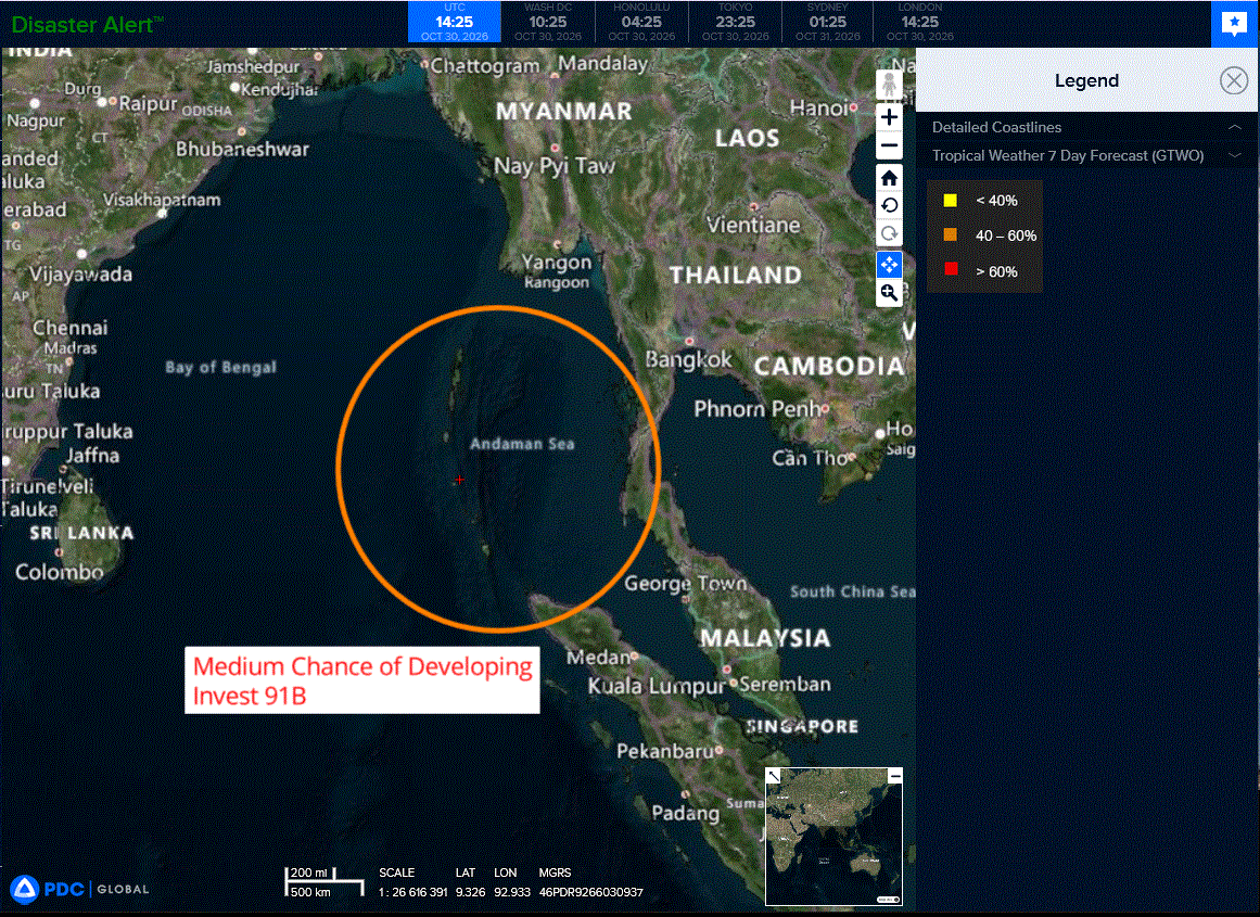
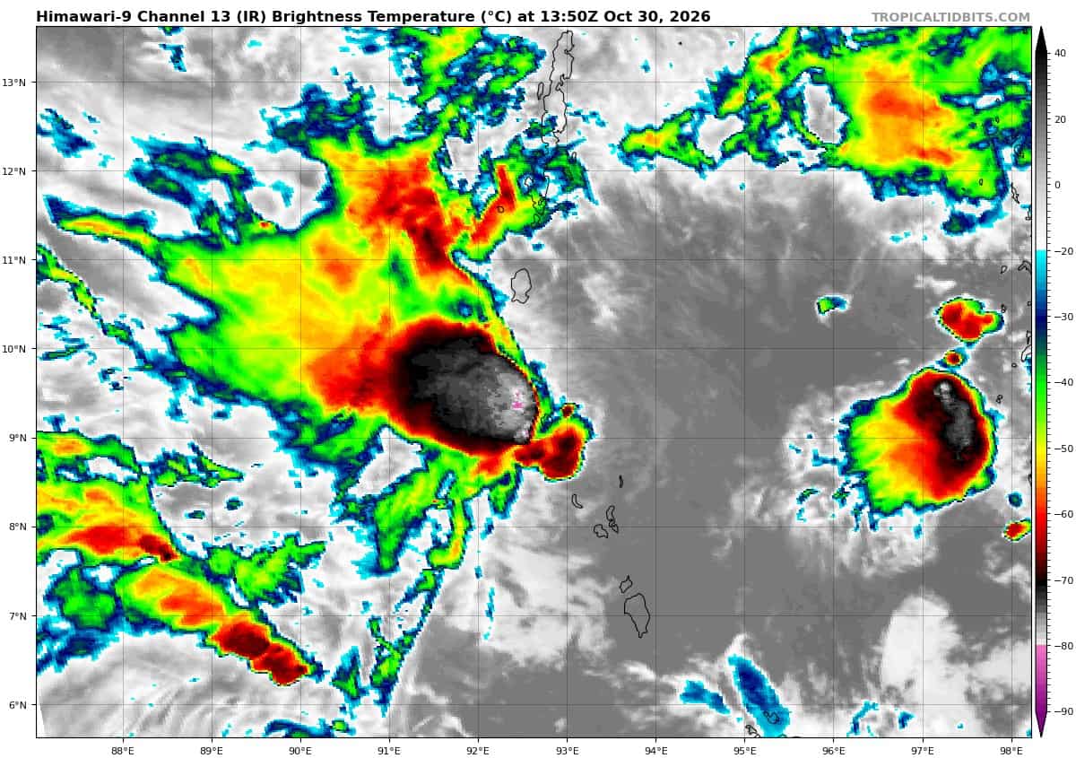
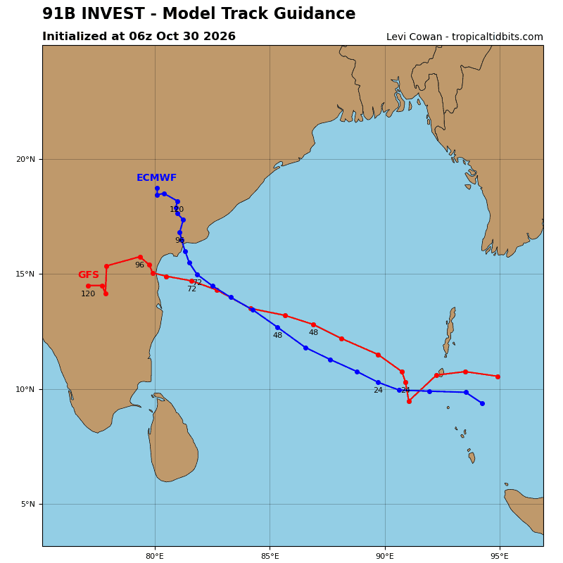
>>> There’s an area of disturbed weather, being referred to as Invest 91B, which is located approximately 229 NM southeast of Port Blair
Multi-spectral satellite imagery (msi) depicts a partially exposed low-level circulation center (llcc), with flaring convection near the center and weak banding along the western and southern periphery. A 300212z ascat-b pass reveals a compact, closed
circulation with winds up to 20kts around the center.
Environmental analysis indicates a favorable area for development with moderate easterly vertical wind shear (15-20kts), good westward outflow, and warm sea surface temperatures (29-30c).
Global ensemble models agree on gradual development of the system during the next 24-48 hours as it tracks westward.transits west-northwestward through the Bay of Bengal.
Maximum sustained surface winds are estimated at 18 to 23 knots.
Minimum sea level pressure is estimated to be near 1010 mb.
The potential for the development of a significant tropical cyclone within the next 24 hours upgraded to medium.