

Current Snapshot
For all the latest updates visit: DisasterAWARE
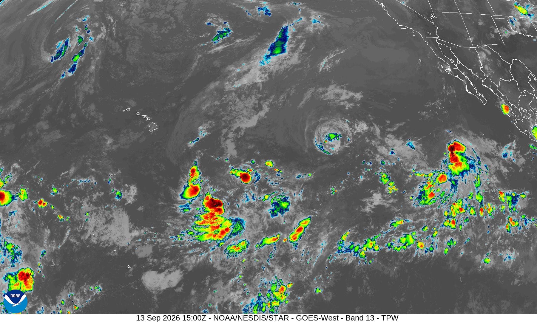
1800x1080ec
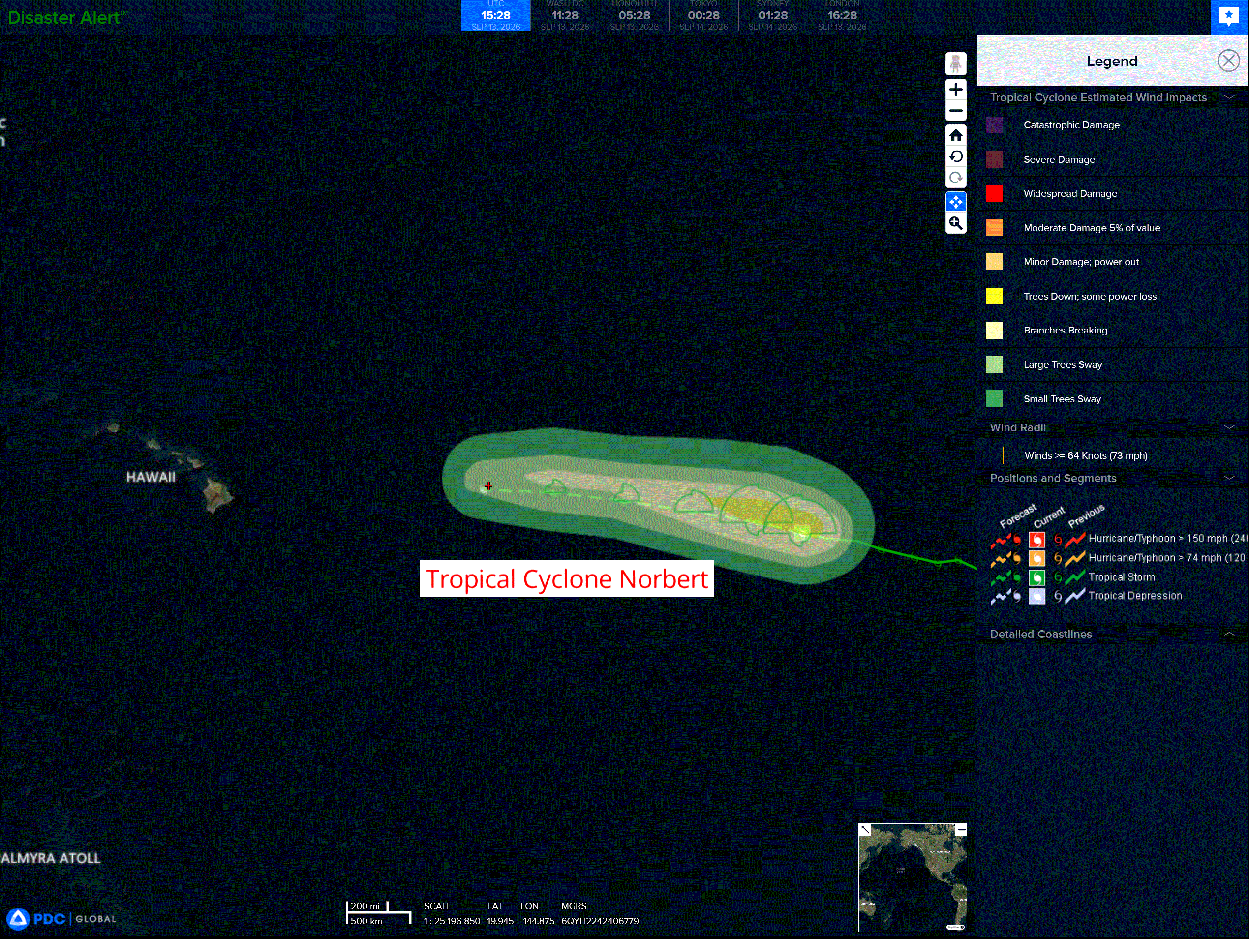
norbert
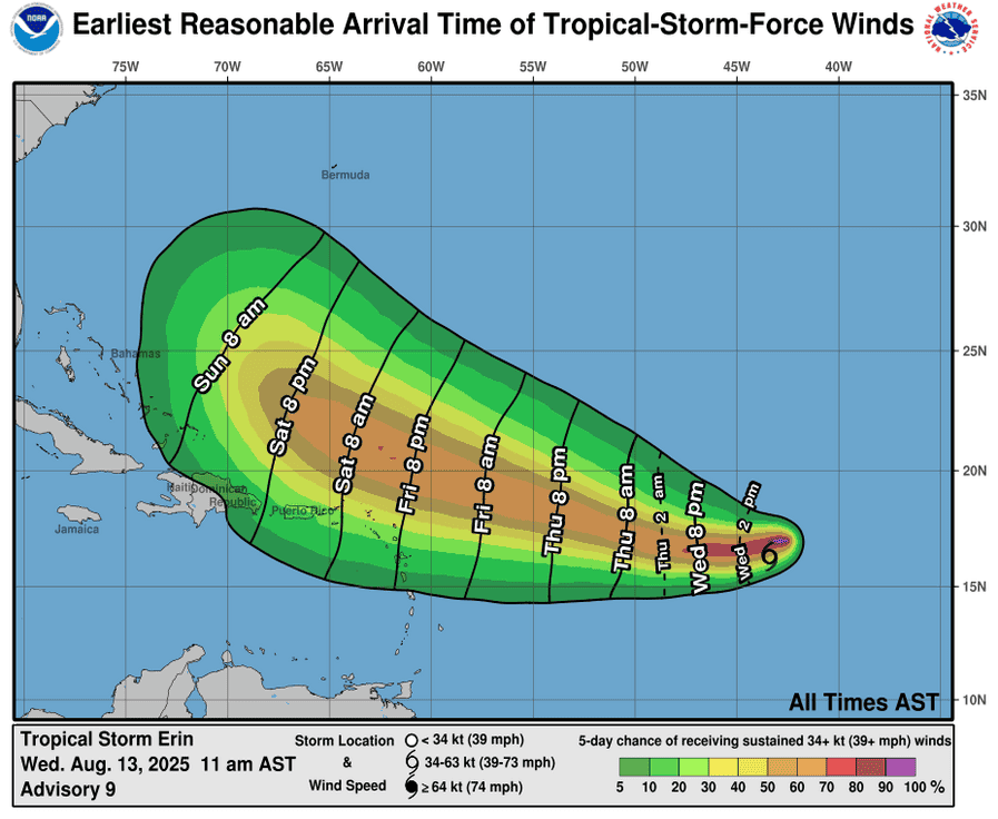
131434_earliest_reasonable_toa_34
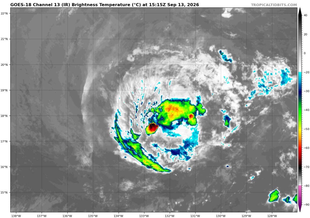
goes18_ir_14E_202609131515_lat18.1-lon-132.1
oooo
goes18_ir_97E_202609131515_lat17.4-lon-116.2
mmmmm
90w
himawari9_ir_90W_202609131510_lat12.6-lon155.9

90W_tracks_latest
By PDC’s Senior Weather
Specialist Glenn James

The Pacific Disaster Center’s (PDC Global) Sunday, September 13, 2026, Tropical Cyclone Activity Report…for the Pacific Ocean, the Indian Ocean, and adjacent Seas.
Tropical Cyclones
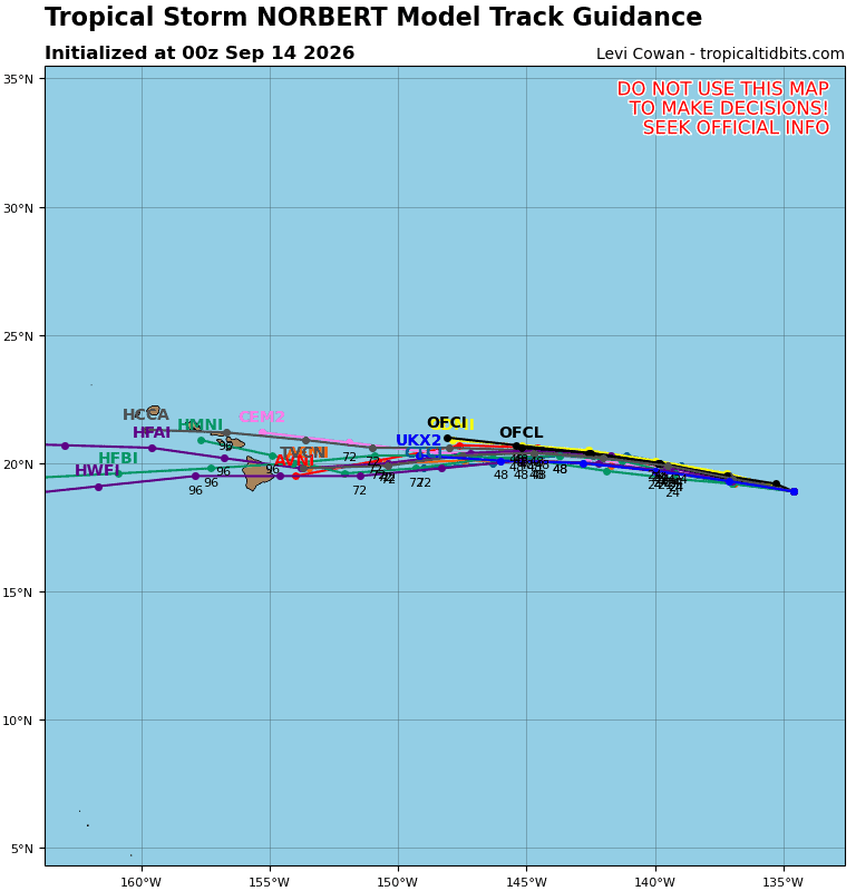
Tropical Cyclone 14E (Norbert) is located about 1465 miles east of Hilo, Hawaii
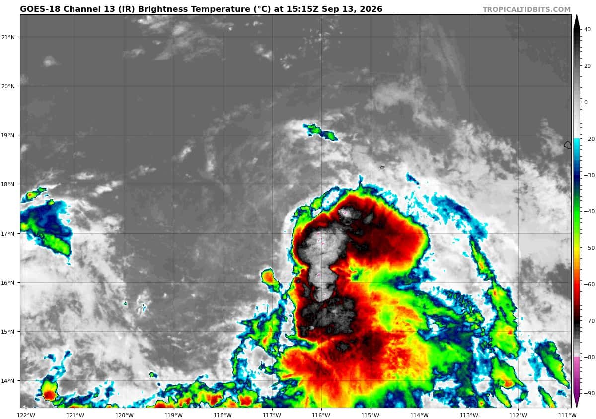
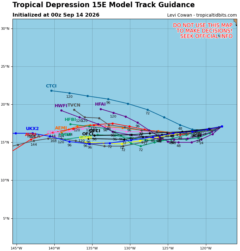
Tropical Cyclone 15E is located about 680 miles southwest of the southern tip of Baja, CA
Northeast Pacific:
Tropical Cyclone 14E (Norbert)
NORBERT CONTINUES TO MOVE WESTWARD OVER THE EASTERN PACIFIC
According to the NHC advisory number 16…
Norbert is moving toward the west near 12 mph (19 km/h), and this motion is expected to continue during the next few days. Maximum sustained winds are near 50 mph (85 km/h) with higher gusts. Some fluctuations in intensity remain possible for the rest of the day, followed by a gradual weakening trend after that. Tropical-storm-force winds extend outward up to 105 miles (165 km) from the center. The estimated minimum central pressure is 1000 mb (29.53 inches).
Tropical Cyclone 15E
DEPRESSION COULD BECOME A TROPICAL STORM LATER TONIGHT OR EARLY MONDAY
According to the NHC advisory number 02…
The depression is moving toward the west near 10 mph (17 km/h). A slightly faster westward to west-southwestward motion is forecast during the couple of days. Maximum sustained winds remain near 35 mph (55 km/h) with higher gusts. Some slight strengthening is expected overnight, and the depression is forecast to become a tropical storm by early Monday. The estimated minimum central pressure is 1006 mb (29.71 inches).
Central North Pacific: There are no Tropical Cyclones
Western Pacific, Indian Ocean, and adjacent Seas: There are no Tropical Cyclones
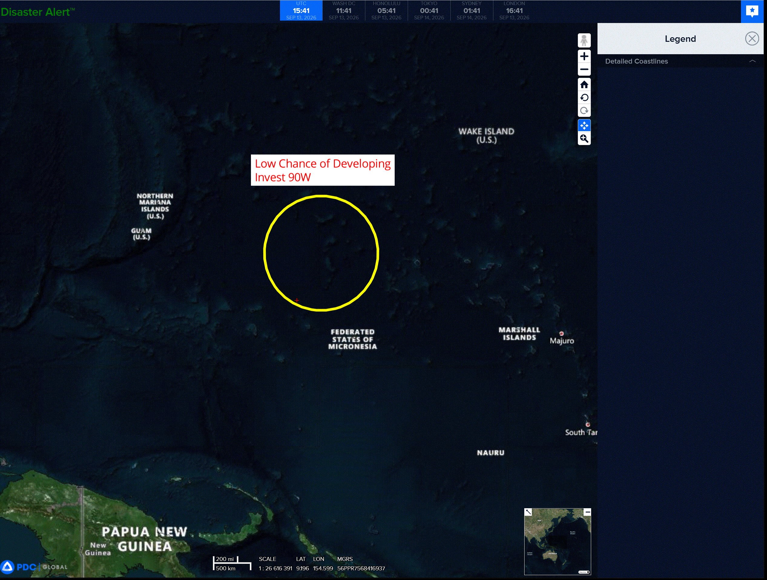
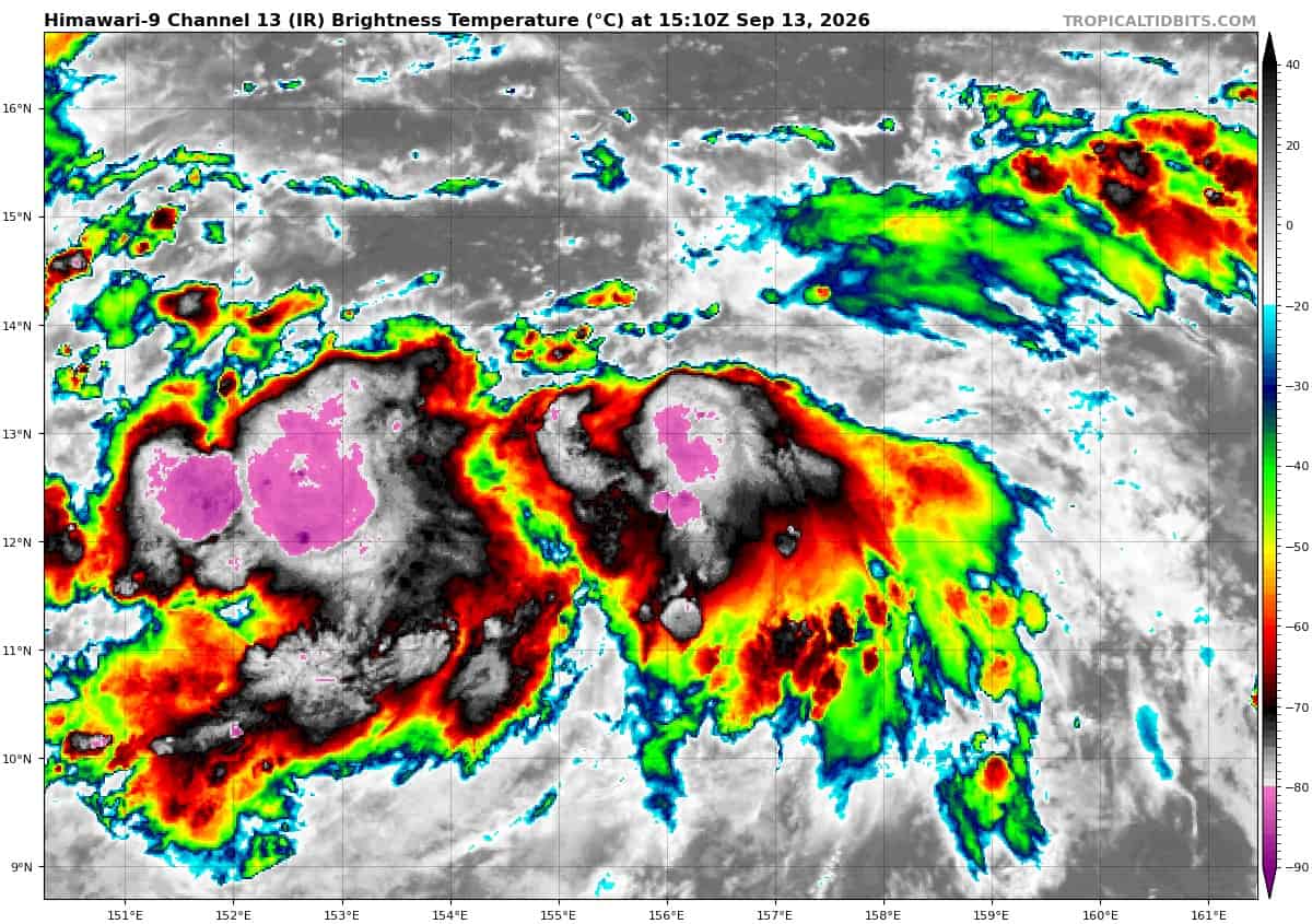
>>> There’s an area of disturbed weather being referred to as Invest 90W, which is located approximately 278 NM north-northeast of Chuck
Animated multi-spectral satellite imagery (msi) depicts a partially exposed, elongated low level circulation with widespread, flaring convection concentrated to the equatorward side of a monsoon trough. The broad, poorly defined circulation has been slowly consolidating over the past 12 hours.
Environmental analysis reveals low vertical wind shear (5-10 kts), moderate radial outflow, strong
divergence aloft, and a warm sea surface temperature (29-30c), indicating highly favorable conditions for further development. The disorganized state of the system will limit the rate of development in
the near term.
Deterministic and ensemble guidance strongly agree with slow to gradual development over the next 24-36 hours and a northwestward track.
Maximum sustained surface winds are estimated at 15 to 20 knots.
Minimum sea level pressure is estimated to be near 1006 mb.
The potential for the development of a significant tropical cyclone within the next 24 hours is upgraded to medium.