Central north Pacific: There are no Tropical Cyclones


By PDC’s Senior Weather
Specialist Glenn James

The Pacific Disaster Center’s (PDC Global) Thursday, August 6, 2026, Tropical Cyclone Activity Report…for the Pacific Ocean, the Indian Ocean, and adjacent Seas
Current Tropical Cyclones:
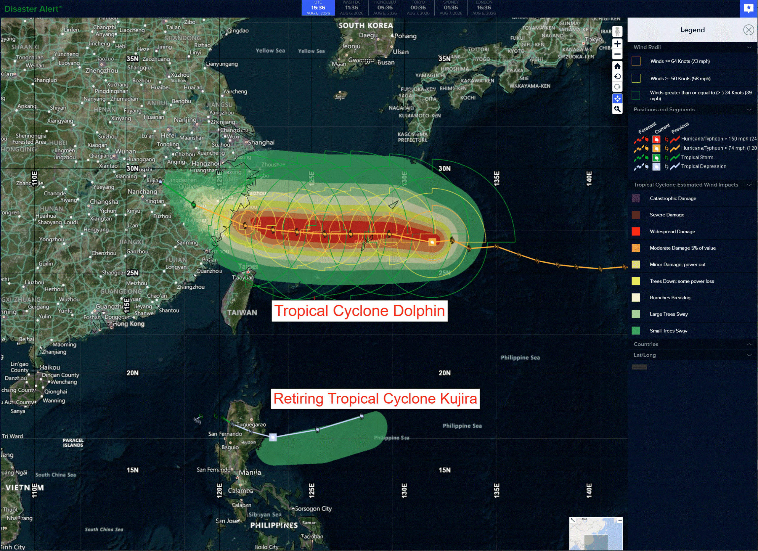
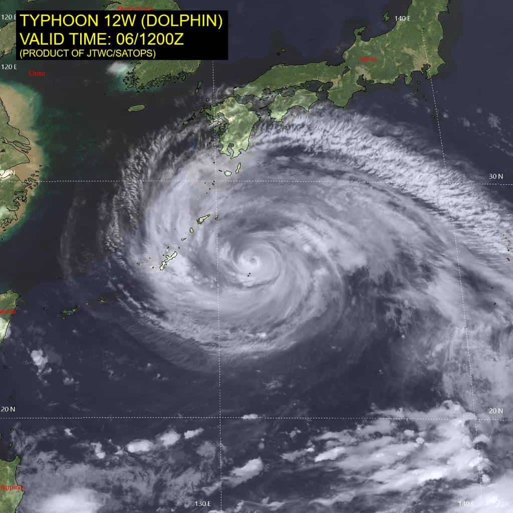
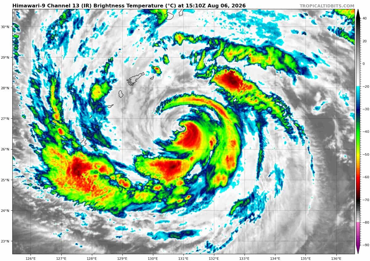
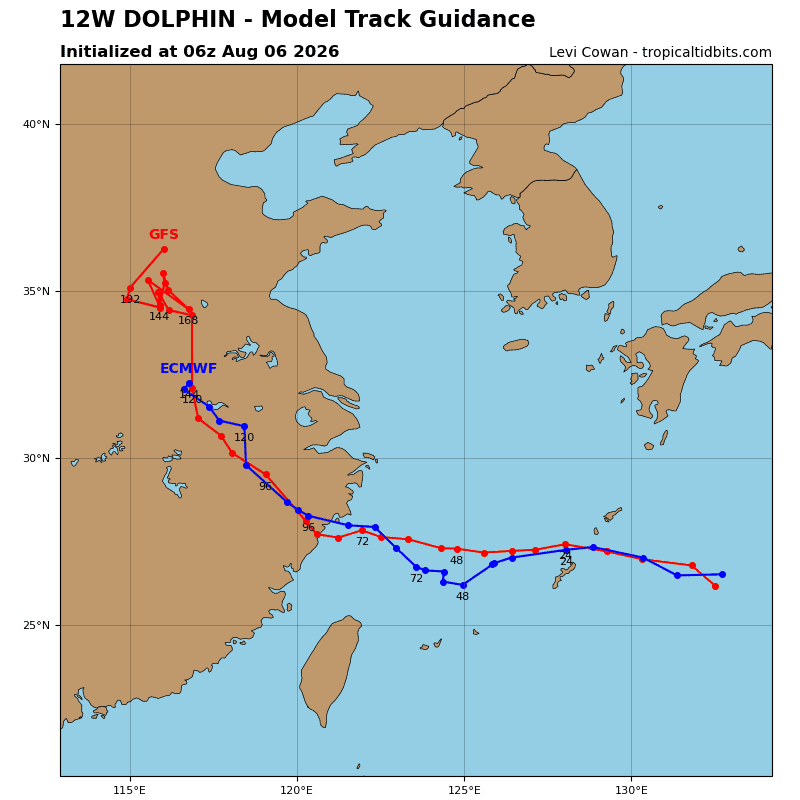
Tropical cyclone 12W (Dolphin)…is located approximately 141 NM east of Kadena AB
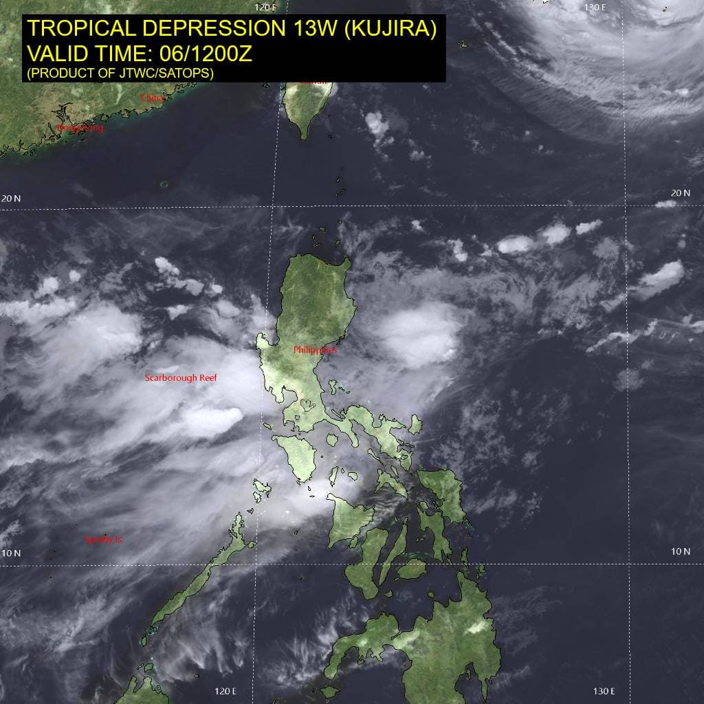
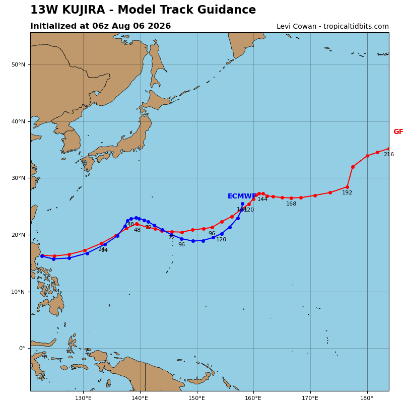
Tropical cyclone 13W (Kujira)…is located approximately 167 NM northeast of Manila, Philippines – Final Warning
Tropical cyclone 14W (Chan-hom)…is located approximately 472 NM northeast of Minami Tori Shima
Northeast Pacific: There are no Tropical Cyclones
>>> Western East Pacific and Central Pacific:
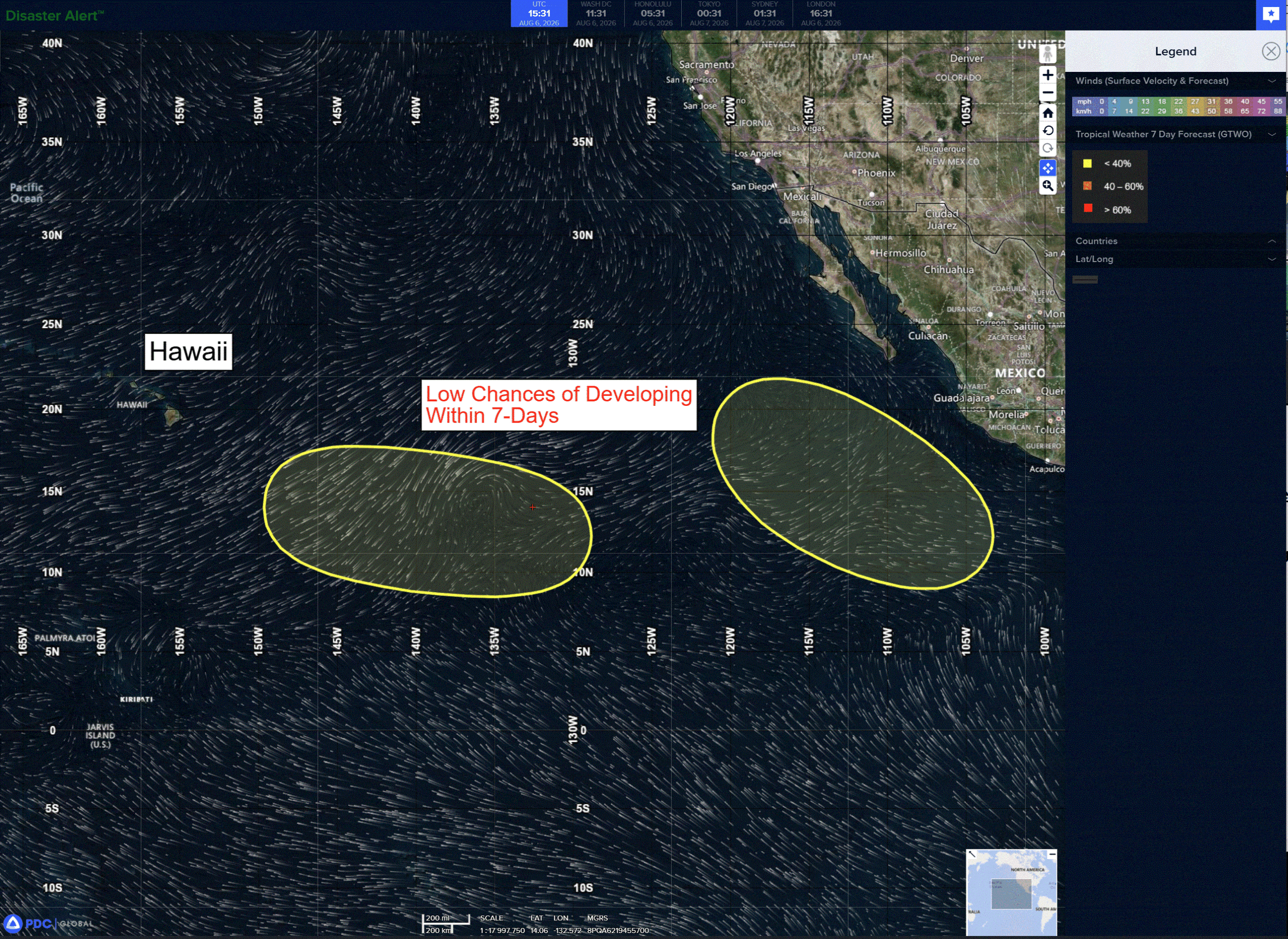
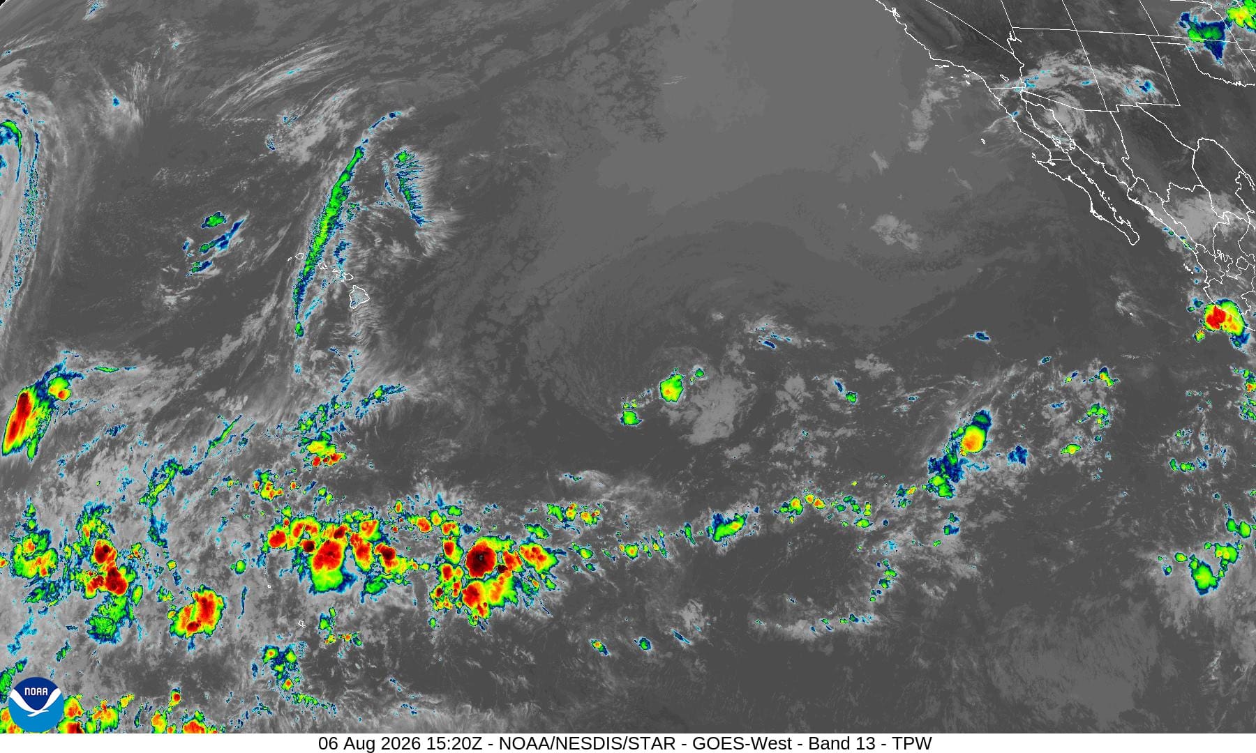
A broad area of low pressure could form by early next week over the western portion of the east Pacific. Some gradual development of this system is possible as it moves generally westward at 10 to 15 mph toward or into the central Pacific basin.
*Formation chance through 48 hours…low…near 0 percent
*Formation chance through 7 days…low…30 percent
>>> Southwest of Mexico:
An area of low pressure is forecast to form well offshore of the southwestern coast of Mexico late this weekend or early next week. Some gradual development of this system is possible thereafter while it moves generally west-northwestward.
*Formation chance through 48 hours…low…near 0 percent
*Formation chance through 7 days…low…30 percent
Central north Pacific: There are no Tropical Cyclones
Western Pacific, Indian Ocean, and adjacent Seas:
Western Pacific
Tropical Cyclone 12W (Dolphin)
According to the JTWC warning number 45, sustained winds were 85 knots…with gusts to 105 knots
Animated enhanced infrared (eir) satellite imagery depicts typhoon (ty) 12W (Dolphin) with sparse patches of deep convection peppered throughout the upper level cloud shield, with no real structure or consistency. The dry moat stretching into the core from the southern periphery is expanding and reducing deep convection throughout the storm. Additionally, the northwestern quadrant of the eyewall is shallowing and the eye itself is nearly completely filled.
A surface observation from Amami Oshima is reporting 44 kts sustained and 56 kt gusts, supporting both the initial intensity and the northwestern quadrant 34 kt wind radii. The environment is favorable, characterized by low (5-10 kts) vertical wind shear (vws), warm (29-30 c) sea surface temperatures (sst), and good divergence aloft.
TY 12W is forecast to continue tracking westward to west-northwestward through 72 hours while it remains under the steering influence of the str centered over the Sea of Japan. A trough passing over Siberia will weaken the str, inducing slower translation speeds between 24-48 hours. Around 72 hours, the steering ridge will reorient to the northeast of the system and build, accelerating track speeds and inducing a northwestward curve. 12W is forecast to make landfall in China just after 72 hours.
Regarding intensity, 12W is forecast to maintain intensity through 12 hours, then intensify slightly as it tracks over a warm pool of slightly higher ocean heat content associated with the Kuroshio Current.
This period of slightly higher intensities will last approximately 48 hours, from 24-60 hours. After, 12W is forecast to weaken between 60-72 hours as it exits the warm pool and approaches land. Once dolphin makes landfall, it is expected to dramatically weaken and fully dissipate by 120 hours.
Tropical Cyclone 13W (Kujira) – Final Warning
According to the JTWC warning number 8, sustained winds were 25 knots…with gusts to 35 knots
Animated enhanced infrared imagery depicts strong westerly and northwesterly gradient flow surging across Luzon and converging in the Philippine Sea, enhanced by inflow into Typhoon 12W (Dolphin). The low-level circulation did not survive the journey across Luzon and the mid-level circulation has washed out into the converging winds and convection on the eastern coast of Luzon.
The environment remains highly unfavorable for development, characterized by high (30-35 kts) vertical wind shear, slight mid-level dry air entrainment, and the strong gradient flow. thought the low level circulation is likely completely gone, whatever remnants are left are expected to track northeastward while becoming absorbed by the westerlies and inflow into typhoon 12W (Dolphin).
Tropical Cyclone 14W (Chan-hom)
According to the JTWC warning number 1, sustained winds were 45 knots…with gusts to 55 knots
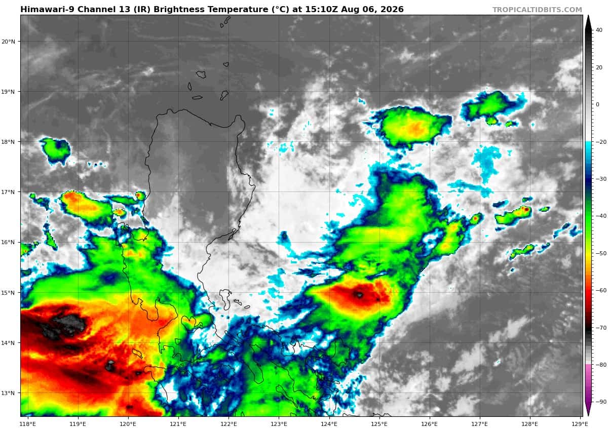
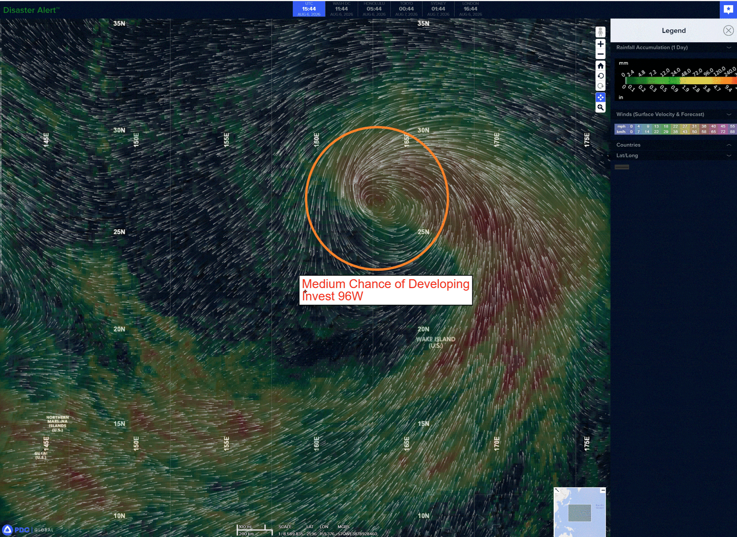
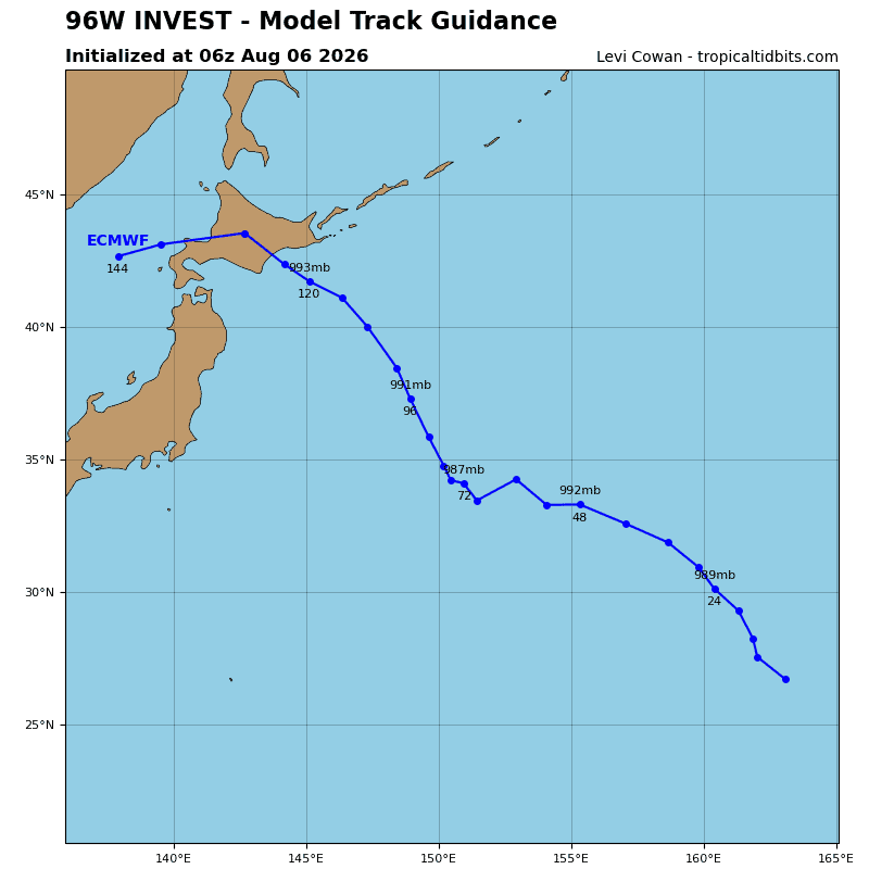
>>> There’s an area of disturbed weather that’s being referred to as Invest 97W, which is located approximately 27 NM southeast of Bach Longvi
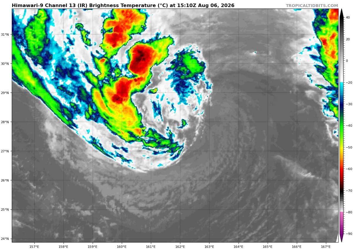
Animated enhanced multi-spectral satellite imagery (msi) depicts persistent convection building over a low-level circulation center (llcc). A 061430z ascat-c image reveals a closed circulation with 15-20 knot winds along the northwest periphery. Only a slight improvement in structure would necessitate the initiation of warnings.
The environmental analysis for the area indicates favorable conditions for development with low
vertical wind shear (5-10 kts), good equatorward outflow aloft, and warm sea surface temperature aloft (29-30c).
While global deterministic models are not in support of development, global ensemble models show slight development over the next 6 hours.
Maximum sustained surface winds are estimated at 12 to 18 knots.
The potential for the development of a significant tropical cyclone within the next 24 hours remains medium