Central north Pacific: There are no Tropical Cyclones
Tropical cyclone formation is not expected during the next 7 days.


By PDC’s Senior Weather
Specialist Glenn James

The Pacific Disaster Center’s (PDC Global) Thursday, July 30, 2026, Tropical Cyclone Activity Report…for the Pacific Ocean, the Indian Ocean, and adjacent Seas
Current Tropical Cyclones:
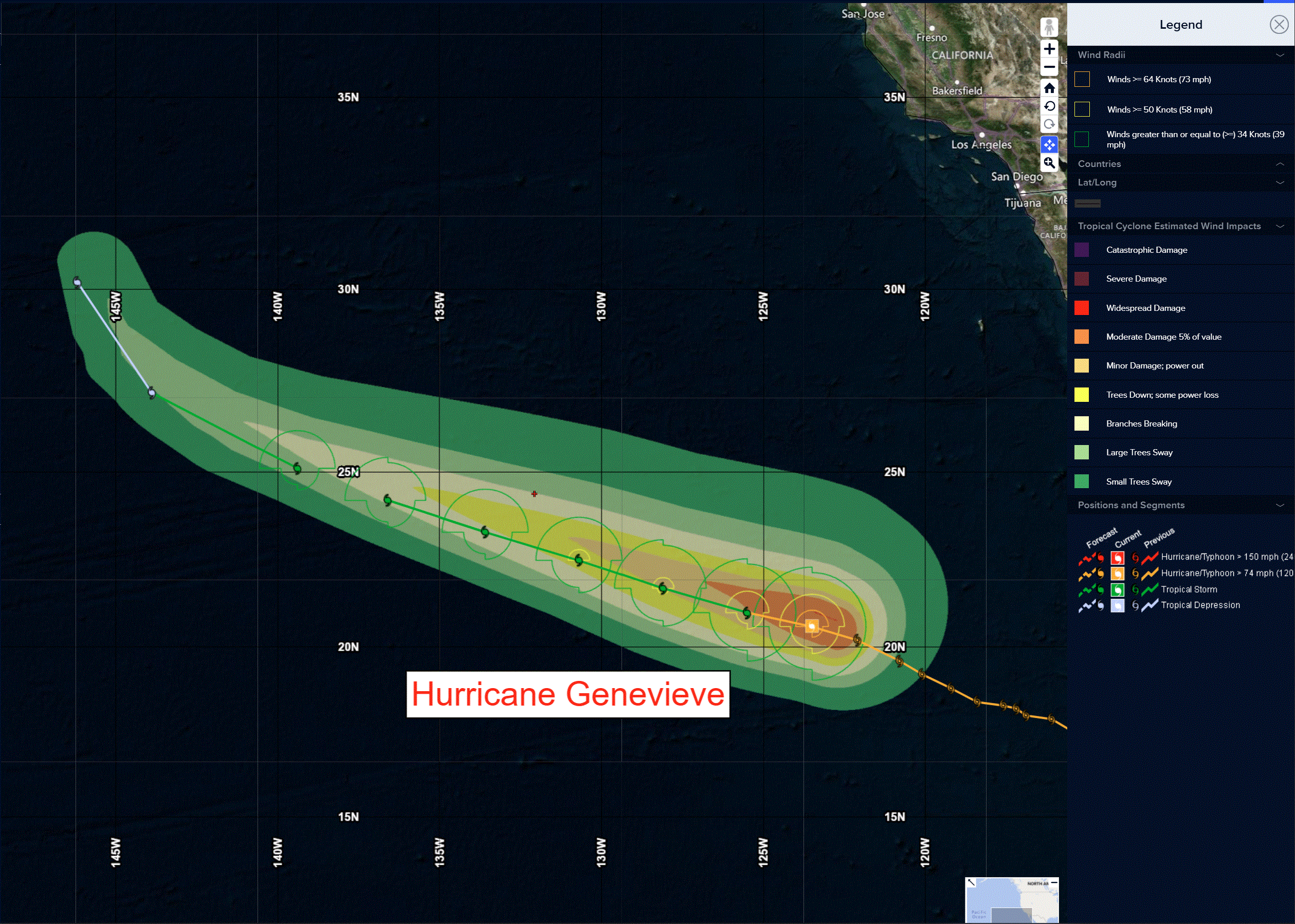
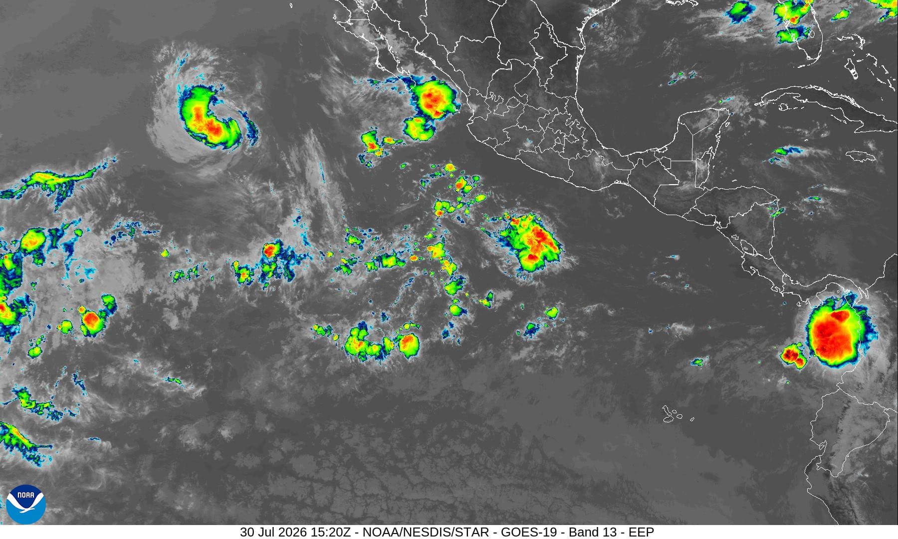
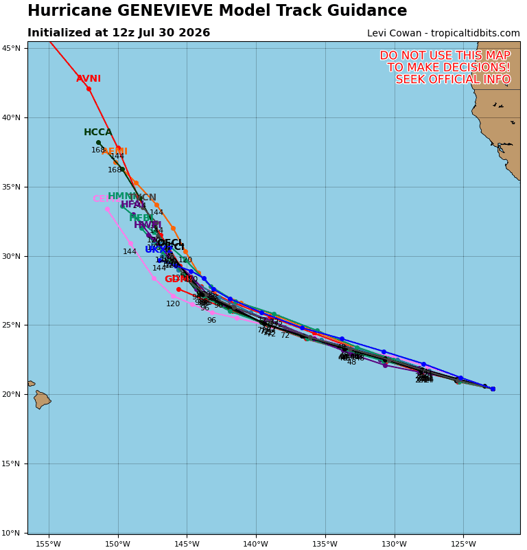
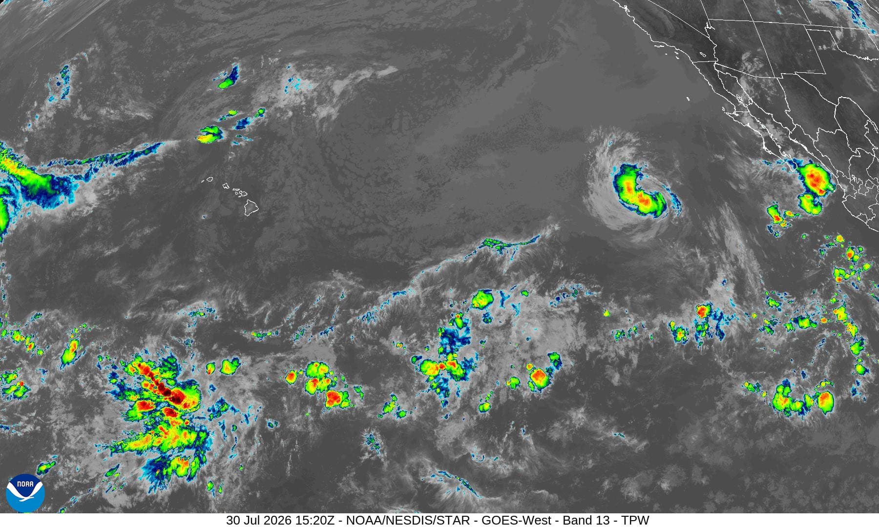
Tropical cyclone 07E (Genevieve)…is located about 885 miles west of the southern tip of Baja California
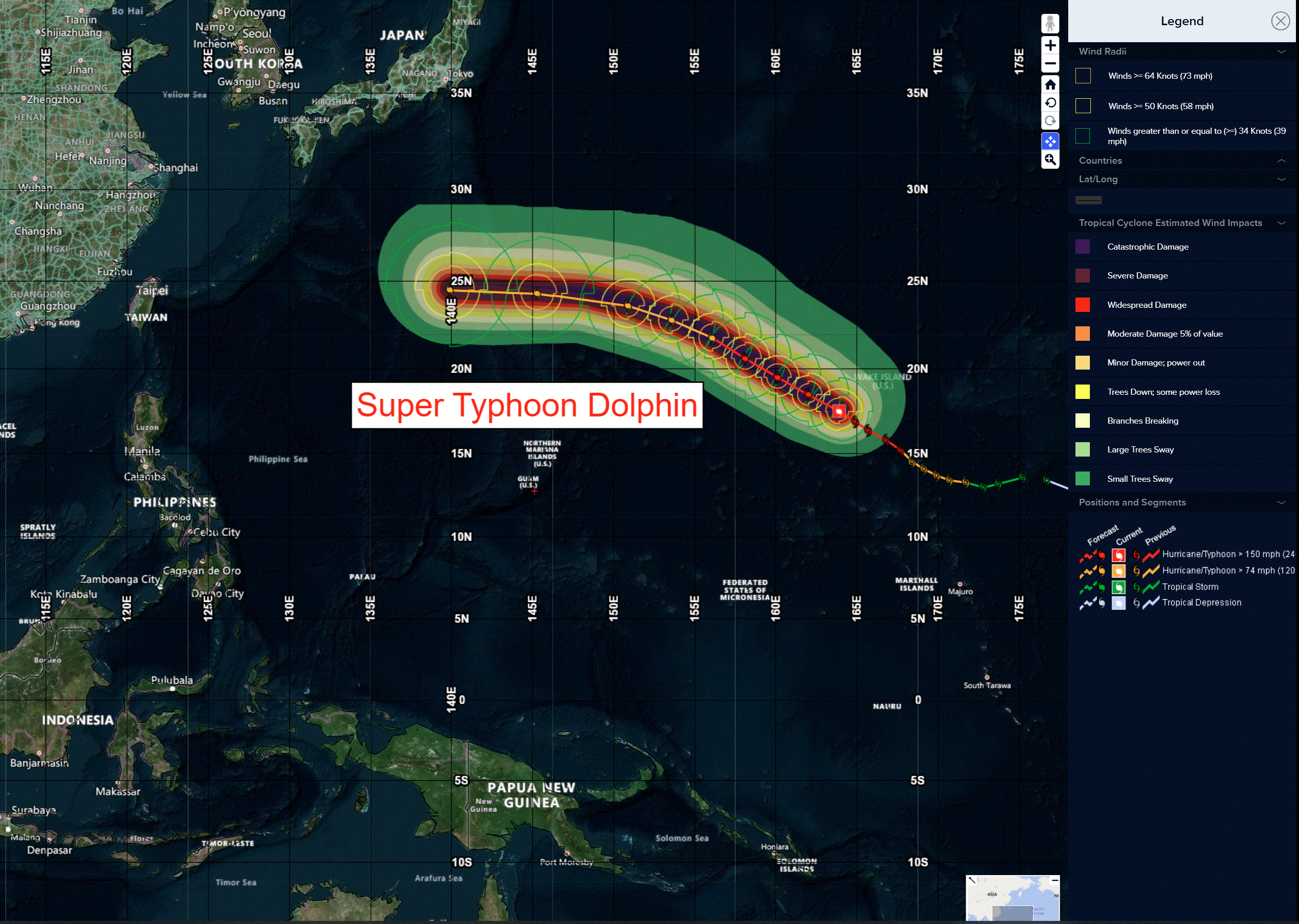
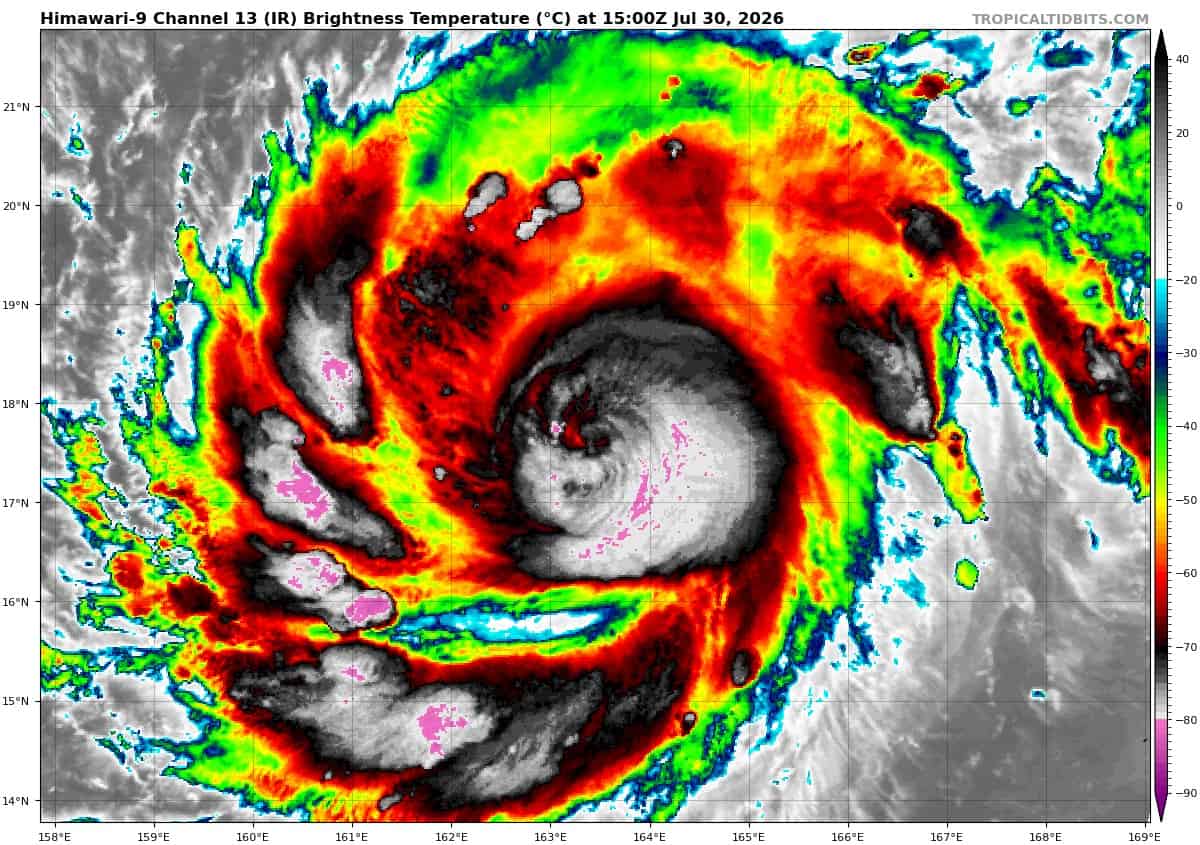
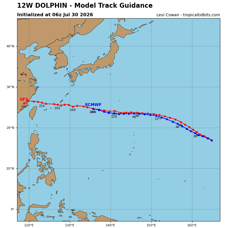
Tropical cyclone 12W (Dolphin)…is located approximately 188 NM southeast of Wake Island
Northeast Pacific:
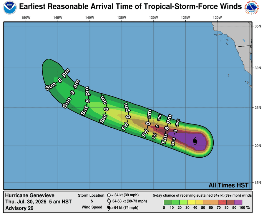
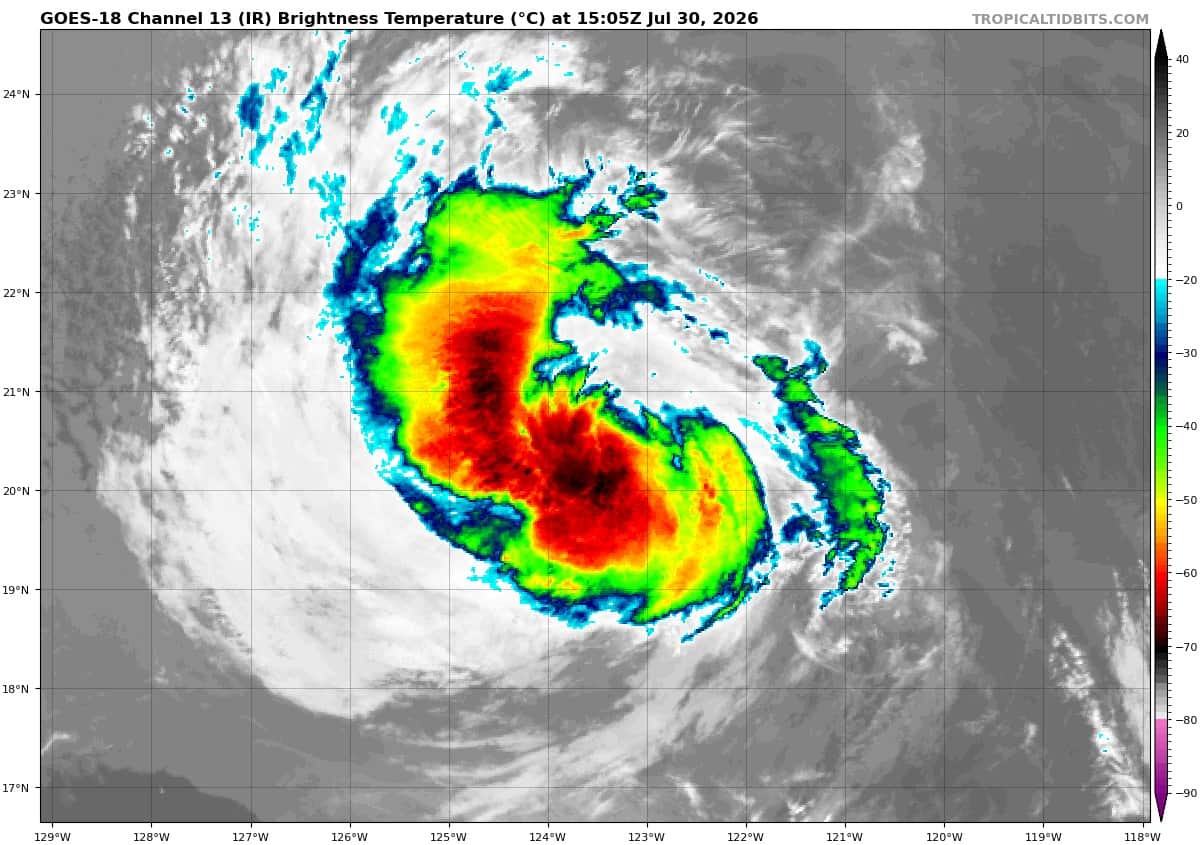
Tropical cyclone 07E (Genevieve)
GENEVIEVE CONTINUES TO WEAKEN
According to the NHC Advisory number 26
Genevieve is moving toward the west-northwest near 15 mph (24 km/h). This general motion is expected to continue during the next several days. Maximum sustained winds have decreased to near 80 mph (130 km/h) with higher gusts. Gradual weakening is forecast during the next few days, and Genevieve is expected to weaken to a tropical storm later today and become a remnant low late this weekend. Hurricane-force winds extend outward up to 35 miles (55 km) from the center and tropical-storm-force winds extend outward up to 125 miles (205 km). The estimated minimum central pressure is 980 mb (28.94 inches).
HAZARDS AFFECTING LAND
SURF: Swells generated by Genevieve are affecting portions of the Baja California Peninsula and Southern California. These swells will persist for the next several days, and are likely to cause life-threatening surf and rip current conditions.
Central north Pacific: There are no Tropical Cyclones
Tropical cyclone formation is not expected during the next 7 days.
Western Pacific, Indian Ocean, and adjacent Seas:
Western Pacific
Tropical Cyclone 12W (Dolphin)
According to the JTWC warning number 15
Over the past few hours, sty 12W has transitioned from a well-defined 14-nm wide clear eye, to a completely cloud-filled and rapidly shrinking eye feature, which then disappeared briefly. The most recent frames of enhanced infrared (eir) imagery, however, provide initial indication of a new eye forming. There has not been a high-resolution microwave imager pass since 300154z, and the status
of the eyewall replacement cycle (erc) remains ambiguous. A 301017z mhs 89ghz image showed a nascent outer eyewall with a diameter of roughly 30nm, which remained open in the northeastern quadrant; it can be surmised that the erc is nearly complete based on the evolution of the eye over the past 12 hours. It is likely in the near-term that the eye will reappear and clear out, at roughly double
the size of the original eye.
The environment remains favorable, with low deep-layer vertical wind shear, very warm ssts, high ohc, and strong radial outflow which is enhanced by a poleward outflow channel into the rear entrance region of a subtropical jet far to the east. The primary factor capping intensification is successive eyewall replacement cycles and the concomitant expansion of the eye.
STY 12W continues tracking northwestward along the southwestern flank of an expansive, northwest-southeast-oriented str complex to the east. Far to the northwest, a relatively strong and deep upper-level trough is currently moving off the east coast of Honshu. By 36 hours, the trough will reach its maximum equatorward extent before rapidly filling and withdrawing northward as the associated jet max moves up the eastern side of the trough. While the trough will be rapidly filling and moving away, and hence unable to recurve sty 12w northward, it will generate a weakness in the steering ridge, causing the system to decelerate by a few knots between 48 and 72 hours.
By 72 hours, the trough will have receded far enough poleward to allow a str over Korea to rapidly build eastward and connect with a building ridge south of the Aleutians, setting up a general zonal ridge axis near 35N. STY 12W will turn westward after 72 hours under the influence of this steering ridge.
Regarding intensity, the system has clearly deteriorated over the last six hours due to the impact of the ongoing erc. Current eir imagery suggests the eye may be re-emerging imminently at roughly double the size of the previous eye. No significant change in the environment is expected through 36 hours, and while the forecast intensity remains flat, there will be short-term fluctuations both above and below the forecast intensity due to rapid ercs.
After 36 hours, increasing deep-layer shear along with slowly decreasing ssts and ohc will conspire to slowly but steadily weaken sty 12W as it continues westward. Additionally, both the hwrf and hafs-a depict development of a dramatically larger eye and wind field after 72 hours, which will contribute to a general weakening of the system.