The Pacific Disaster Center’s (PDC Global) Wednesday, July 29, 2026, Tropical Cyclone Activity Report…for the Pacific Ocean, the Indian Ocean, and adjacent Seas
Current Tropical Cyclones:
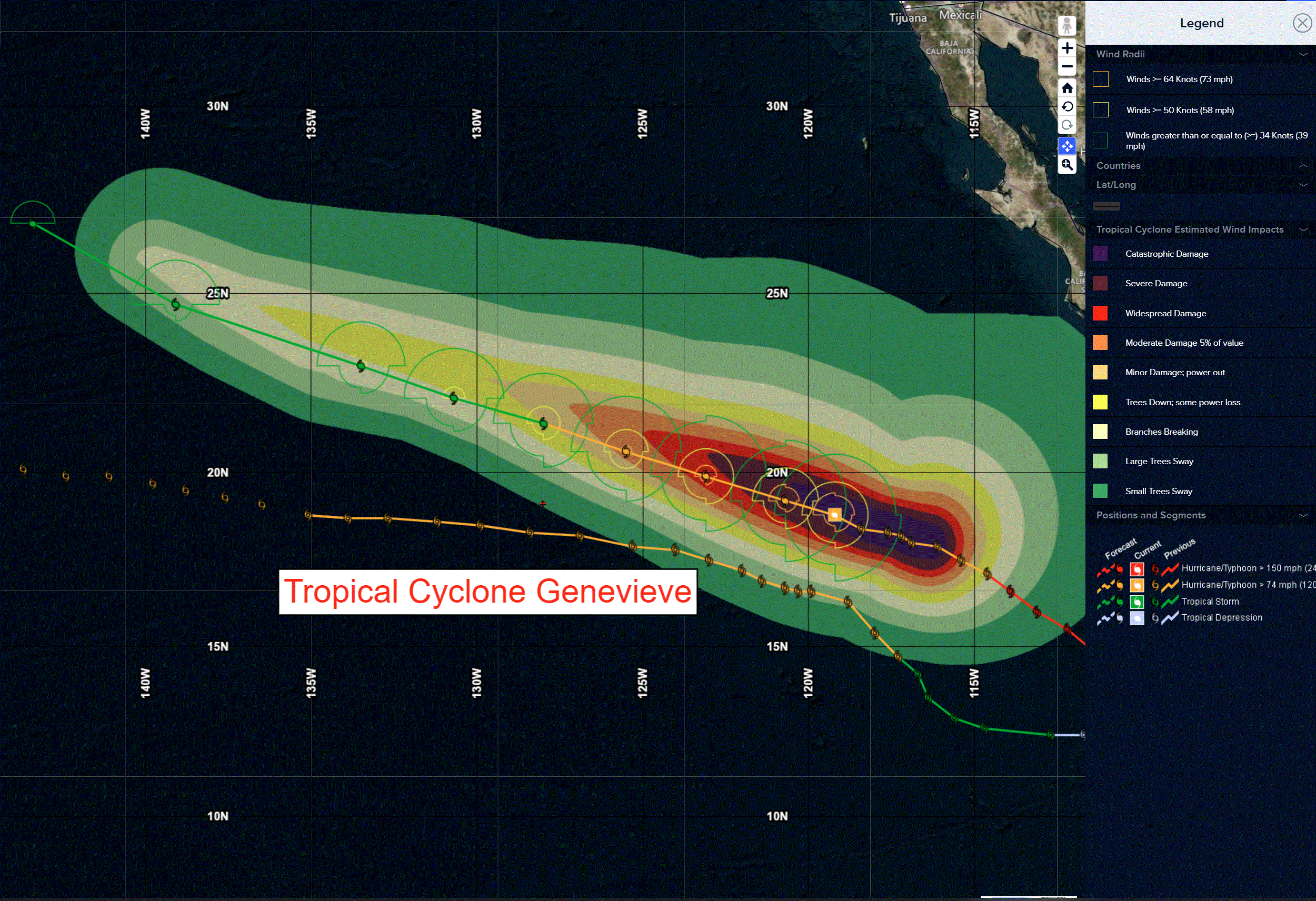
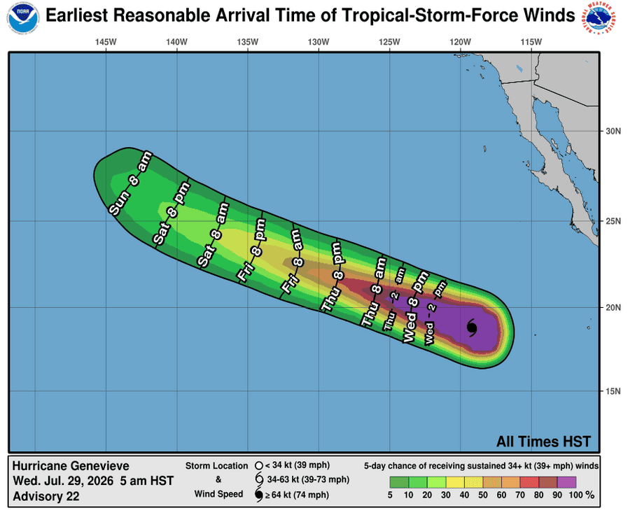
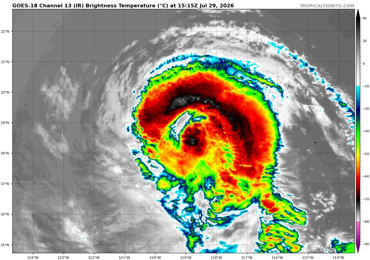
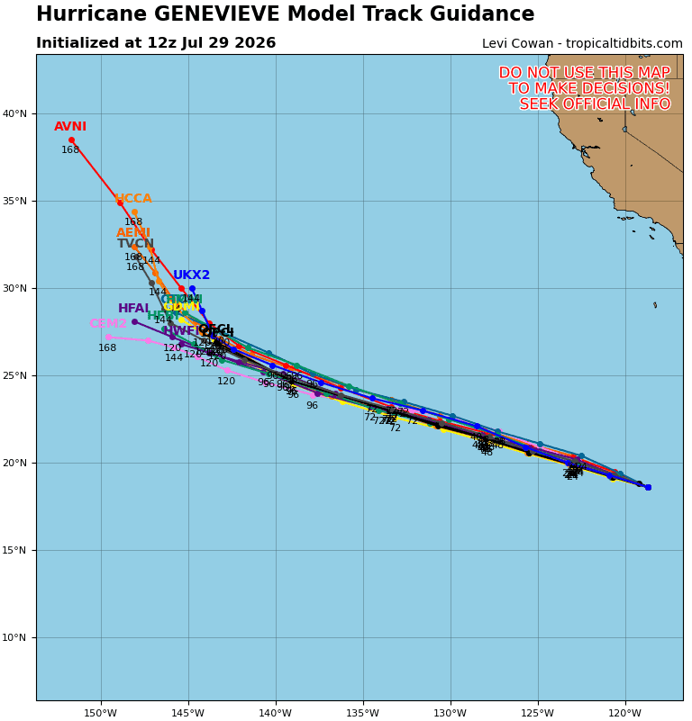
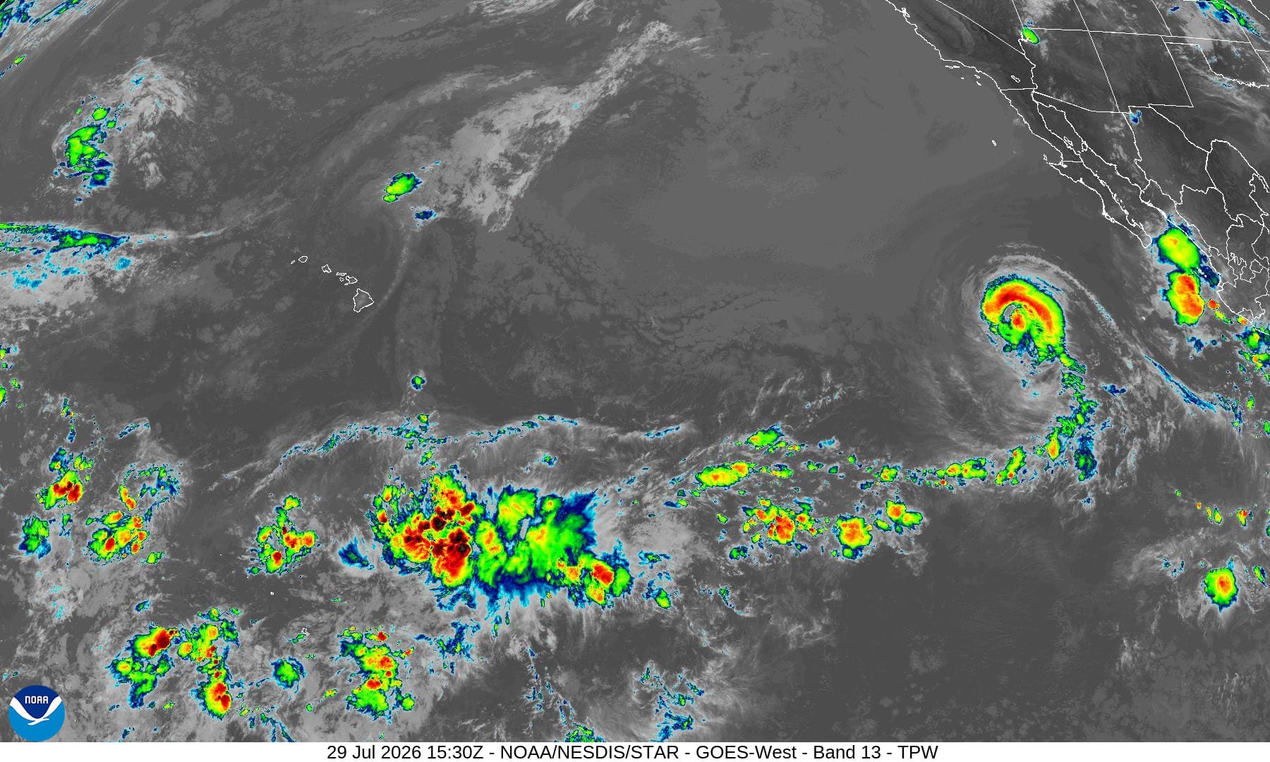
Tropical cyclone 07E (Genevieve)…is located about 665 miles west-southwest of the southern tip of Baja California
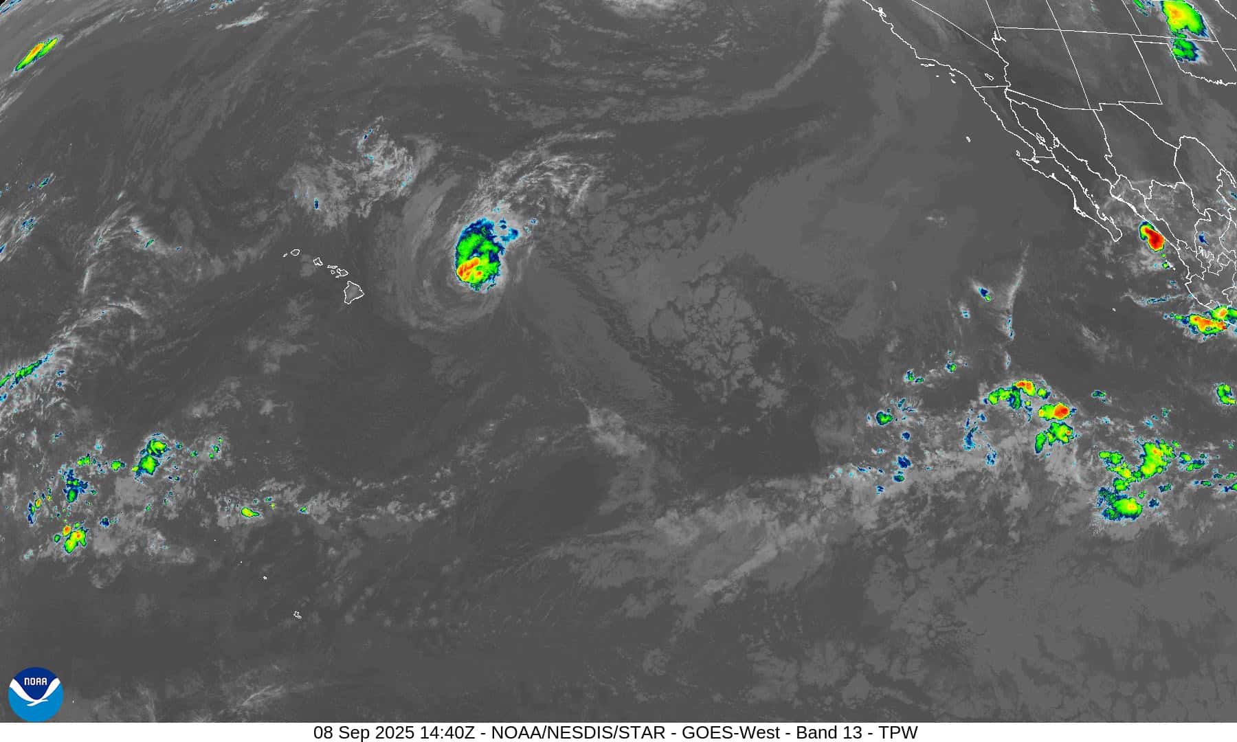
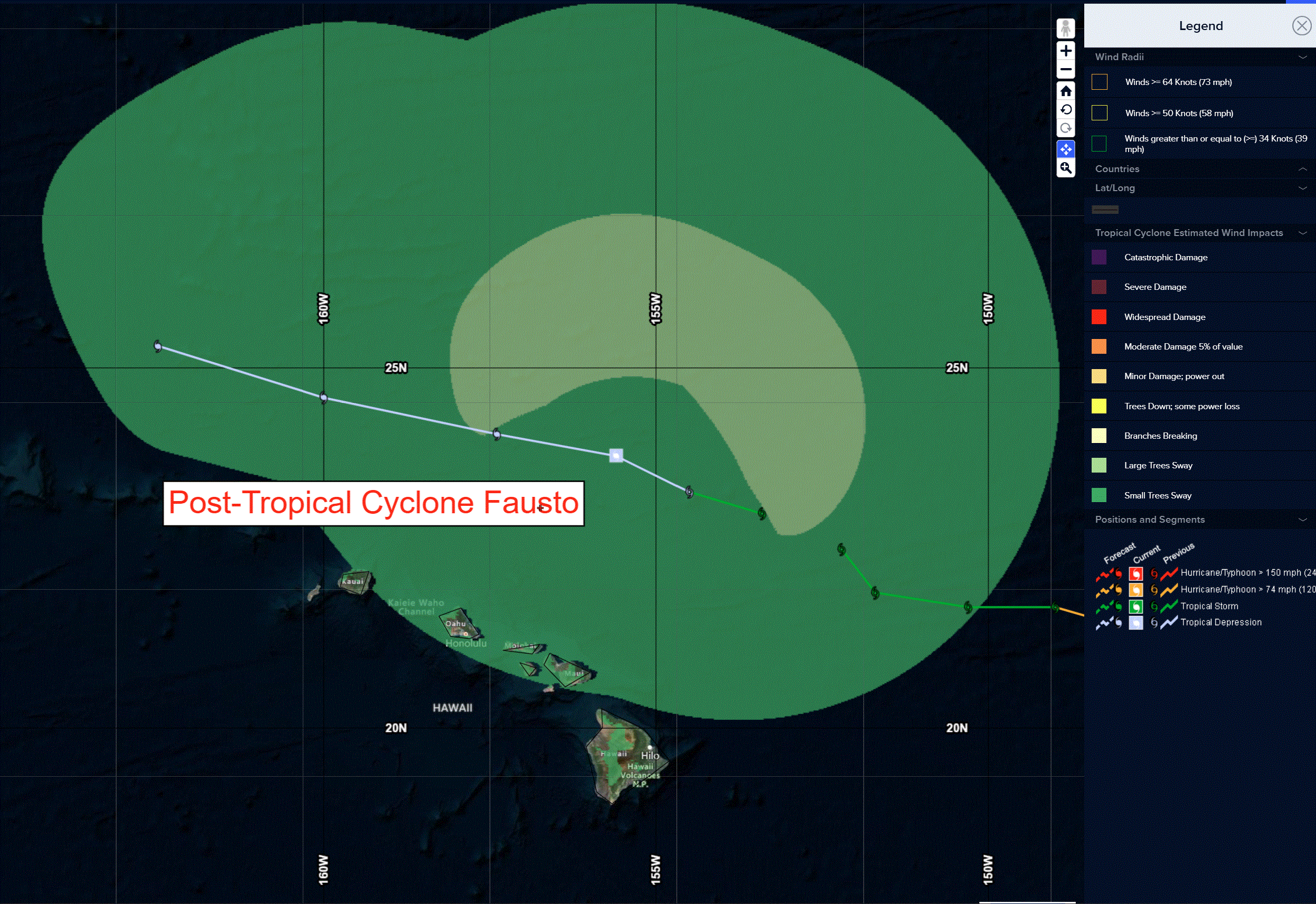
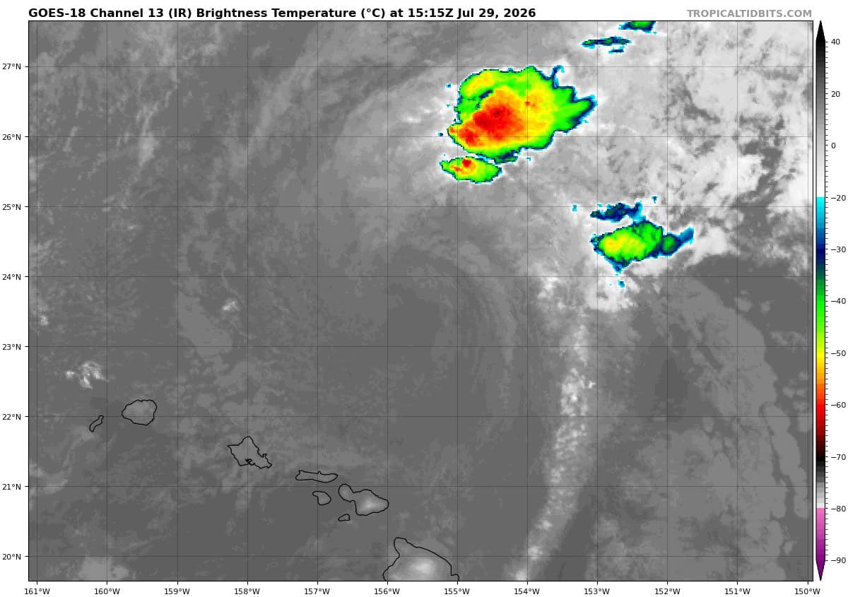
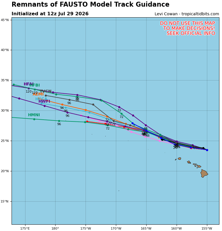
Post-Tropical cyclone 06E (Fausto)…is located about 285 miles north of Hilo, Hawaii
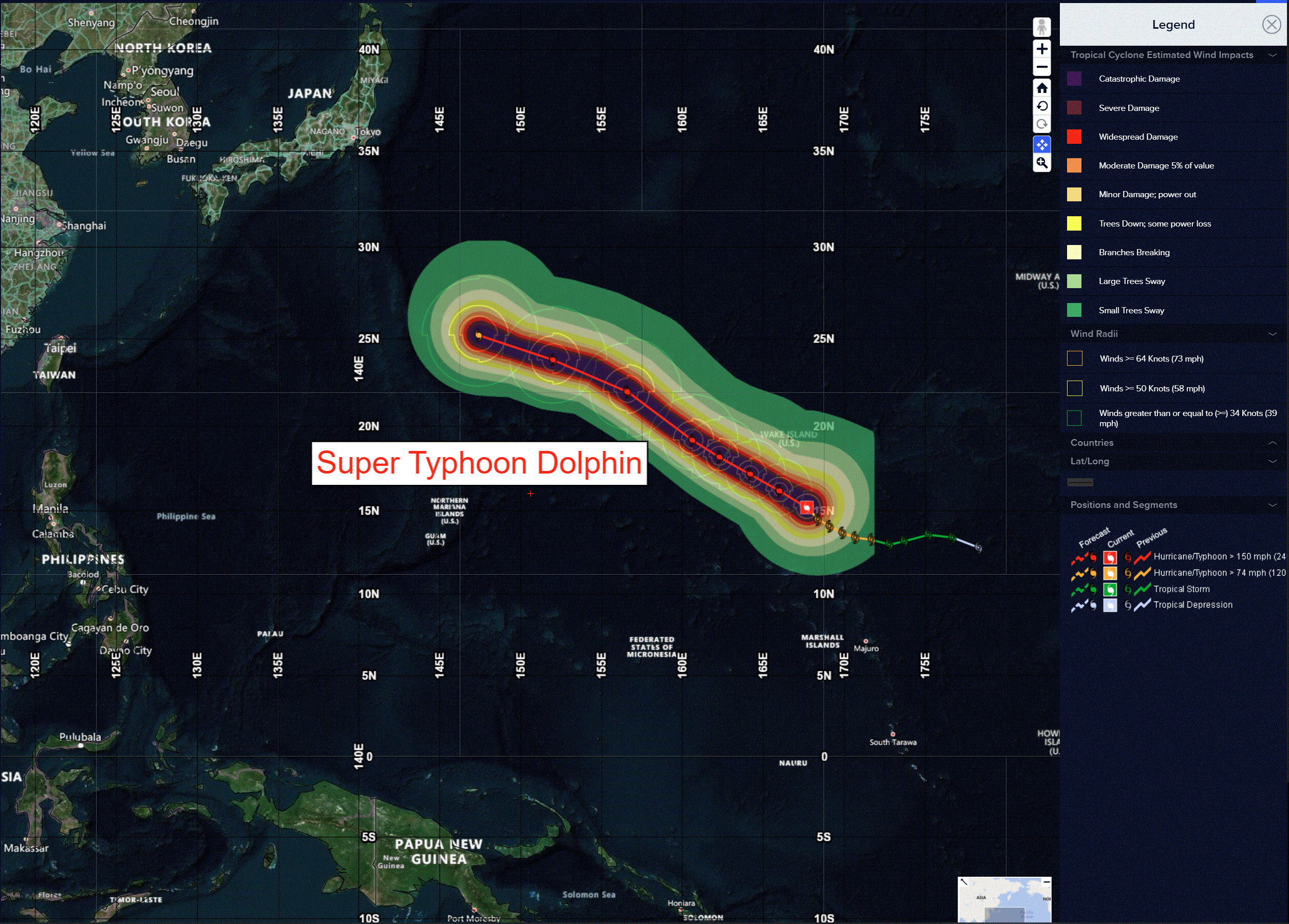
Tropical cyclone 12W (Dolphin)…is located approximately 254 NM south-southeast of Wake Island
Northeast Pacific:
Tropical cyclone 07E (Genevieve)
GENEVIEVE SLOWLY WEAKENING
According to the NHC Advisory number 22
Genevieve is moving toward the west-northwest near 8 mph (13 km/h). This general motion with a slight increase in forward speed is expected during the next several days. Maximum sustained winds are near 115 mph (185 km/h) with higher gusts. Genevieve is a category 3 hurricane on the Saffir-Simpson Hurricane Wind Scale. Steady weakening is expected during the next few days, but Genevieve is forecast to remain a hurricane through Thursday night.
Hurricane-force winds extend outward up to 45 miles (75 km) from the center and tropical-storm-force winds extend outward up to 140 miles (220 km).
The estimated minimum central pressure is 960 mb (28.35 inches).
HAZARDS AFFECTING LAND
SURF: Swells generated by Genevieve are affecting portions of the Baja California Peninsula and will reach Southern California today. These swells will persist for the next several days and are likely to cause life-threatening surf and rip current conditions.
Central north Pacific:
Post-Tropical cyclone 06E (Fausto)
FAUSTO DEGENERATES TO A REMNANT LOW PRESSURE AREA …SIGNIFICANT SURF STILL EXPECTED FOR THE HAWAIIAN ISLANDS THROUGH TODAY
According to the NHC Advisory number 43
The post-tropical cyclone is moving toward the west-northwest near 13 mph (20 km/h) and this general motion is expected to continue for the next couple of days. On the forecast track, Fausto will pass north of the Hawaiian Islands through this evening. Maximum sustained winds are near 35 mph (55 km/h) with higher gusts. Weakening is expected, and the post-tropical cyclone is forecast to weaken to a trough by Friday.
The estimated minimum central pressure is 1008 mb (29.77 inches).
HAZARDS AFFECTING LAND
SURF: Surf generated by the remnants of Fausto is building westward across the Hawaiian Islands along exposed east-facing shores and will remain dangerous today as the system passes north of the islands. Large surf and strong currents will lead to dangerous conditions along exposed shores.
Western Pacific, Indian Ocean, and adjacent Seas:
Western Pacific
Tropical Cyclone 12W (Dolphin)
According to the JTWC Warning number 11
Animated enhanced infrared (eir) satellite imagery depicts super typhoon (sty) 12W significantly intensifying once again, after having quickly rebounded from the slight weakening induced by the earlier eyewall replacement cycle (erc). 12W has a very well-defined and slightly wobbly eye measuring 15 NM in diameter.
The environment remains exceptionally favorable, characterized by low (5-10 kts) vertical wind shear (vws), high (29-30 c) sea surface temperatures (sst), robust dual-channel outflow, and excessive ocean heat content (ohc).
STY 12W (Dolphin) is forecast to continue tracking northwestward through 72 hours, steered along the southwestern periphery of a complex ridge over the central north pacific. Around 72 hours, the longwave trough currently digging into the steering str complex is expected to weaken, allowing for the str to rebuild to the northeast of the system and develop a westward extension. This change in the steering pattern will induce a slight westward turn after 72 hours.
Regarding intensity, 12W is forecast to continue to intensify in the highly favorable environment, though its period of vigorous intensification is likely over. Dolphin is expected to reach its peak intensity at 48 hours at an anticipated 155 kts. Given the highly favorable environment, a peak higher that 155 kts is very possible.
After 48 hours, 12W will weaken as its intensity becomes unsustainable simultaneous to tracking into slightly lower ohc values which will exacerbate its self-induced upwelling. Additional eyewall replacement cycles (erc) are possible and would introduce unpredictable intensity fluctuations that may not be presently reflected in the official forecast.