The Pacific Disaster Center’s (PDC Global) Sunday, July 19, 2026, Tropical Cyclone Activity Report…for the Pacific Ocean, the Indian Ocean, and adjacent Seas
Current Tropical Cyclones:
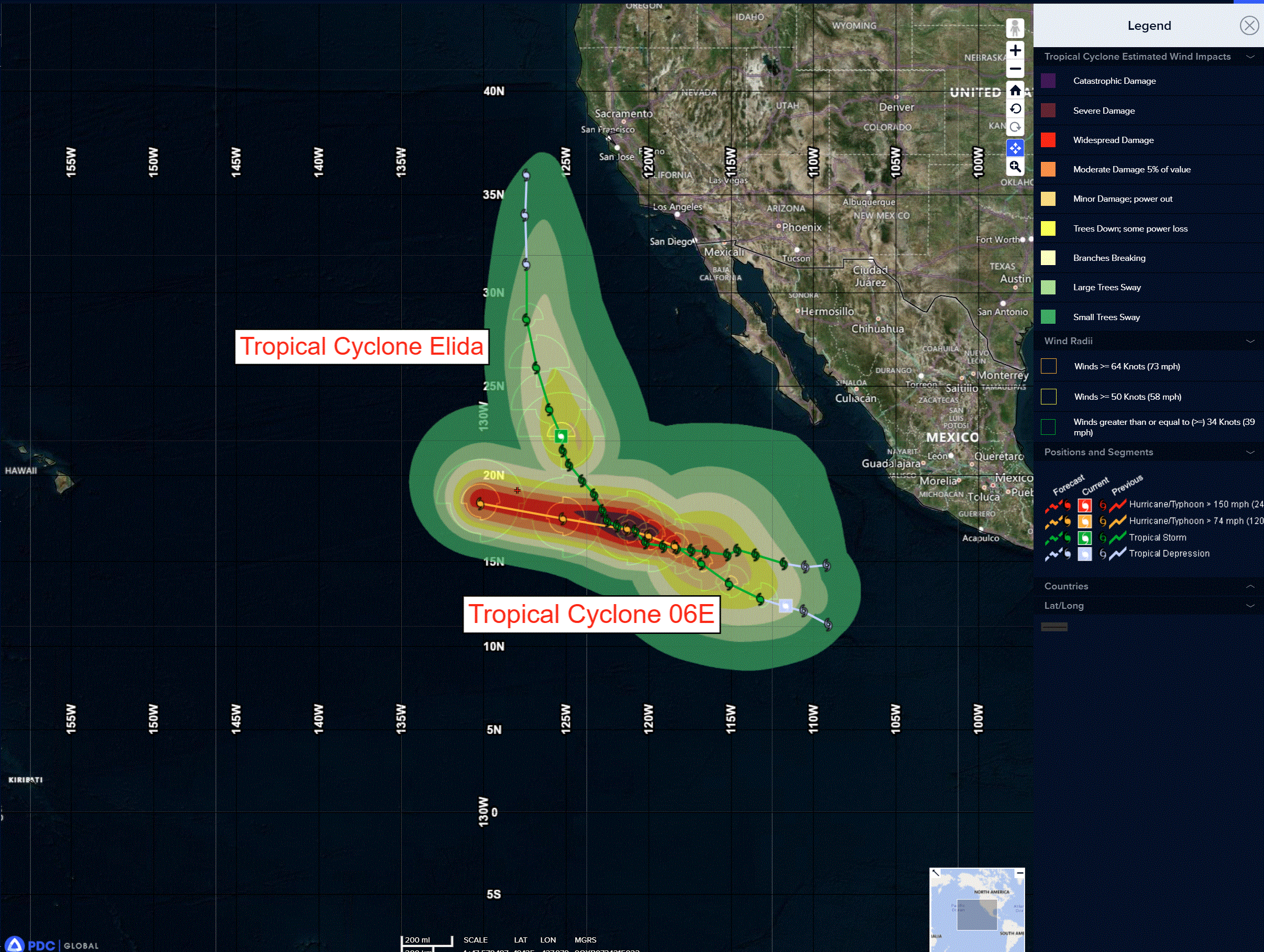
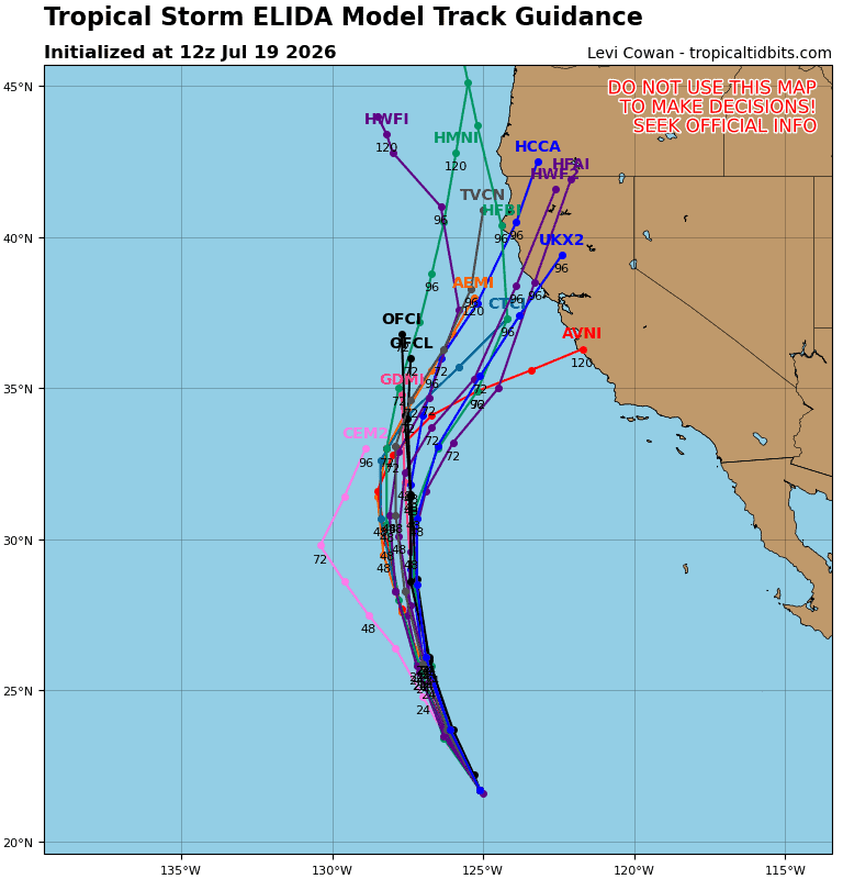
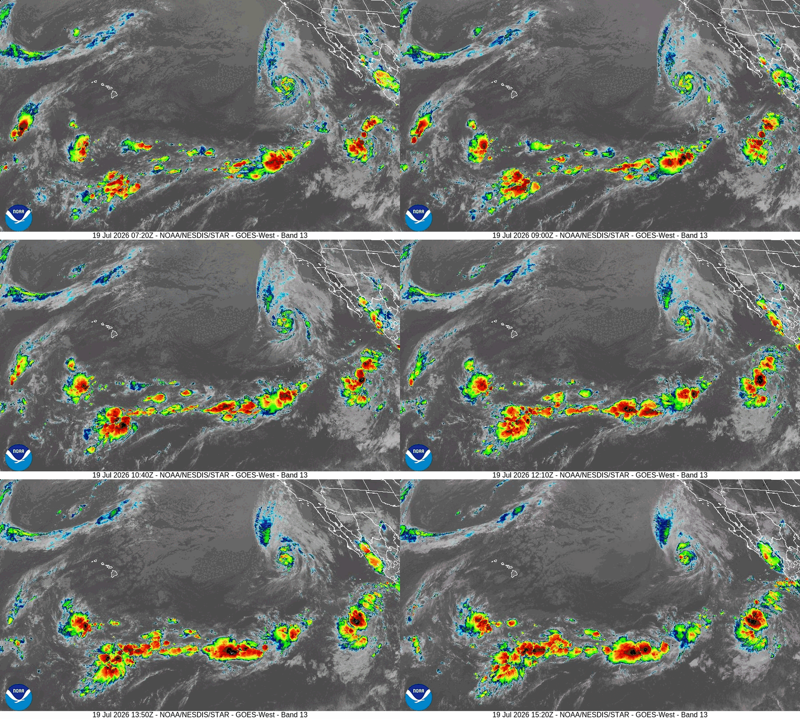
Tropical cyclone 05E (Elida)…is located about 985 miles west of the southern tip of Baja California
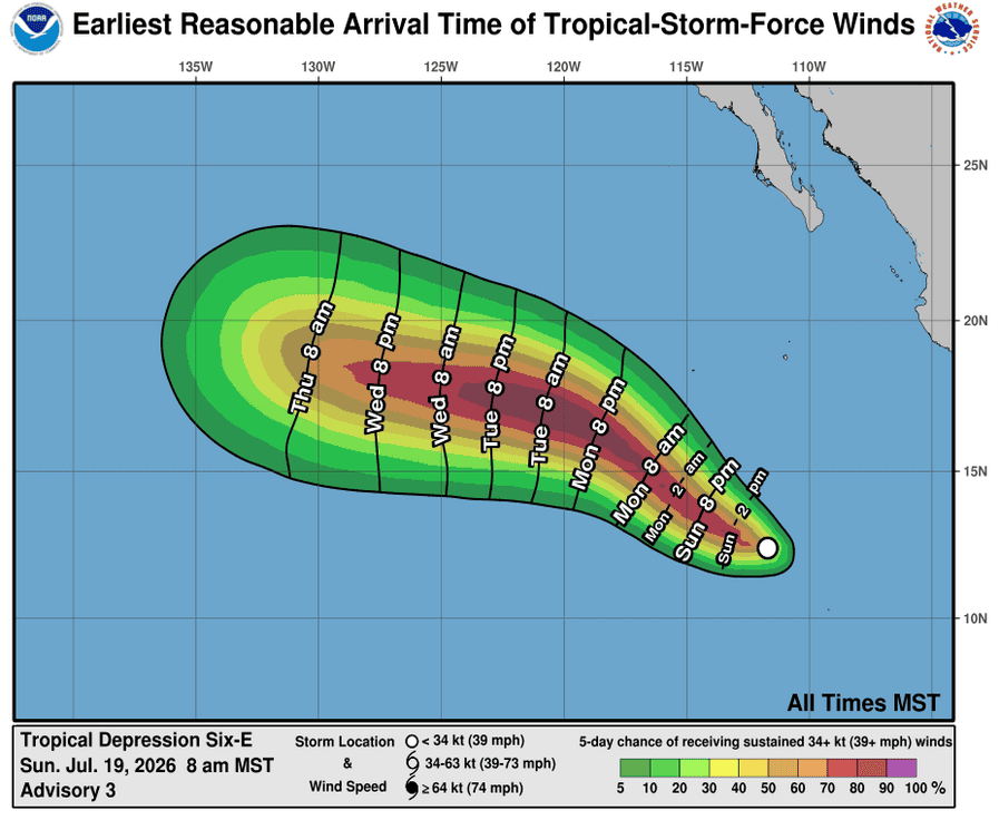
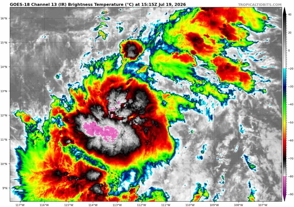
Tropical cyclone 06E Fausto…is located about 735 miles south of the southern tip of Baja California
Northeast Pacific:
Tropical cyclone 05E (Elida)
ELIDA LIKELY TO WEAKEN TO A REMNANT LOW IN A COUPLE OF DAYS
According to the NHC Advisory number 20
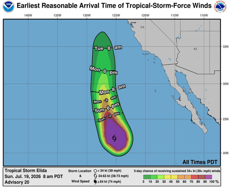
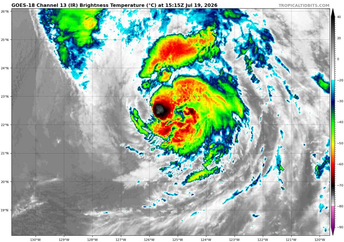
Elida is moving toward the north-northwest near 9 mph (15 km/h). The storm is expected to increase in forward speed as it turns further northward over the next couple of days. Maximum sustained winds are near 60 mph (95 km/h) with higher gusts. Steady weakening is expected during the next couple of days, and the cyclone is likely to dissipate by late Wednesday. Tropical-storm-force winds extend outward up to 185 miles (295 km) from the center.
HAZARDS AFFECTING LAND
SURF: Swells generated by Elida will affect portions of the west coast of the Baja California peninsula through the weekend. These swells are likely to cause life-threatening surf and rip current conditions.
Tropical cyclone 06E (Fausto)
DEPRESSION LIKELY TO STRENGTHEN SIGNIFICANTLY DURING THE NEXT FEW DAYS
According to the NHC Advisory number 3
The depression is moving toward the west-northwest near 14 mph (22 km/h) and this general motion is expected to continue for the next couple of days. Maximum sustained winds are near 35 mph (55 km/h) with higher gusts. Steady to rapid strengthening is forecast during the next few days. The depression is forecast to become a tropical storm later today and become a hurricane by Monday night or Tuesday.
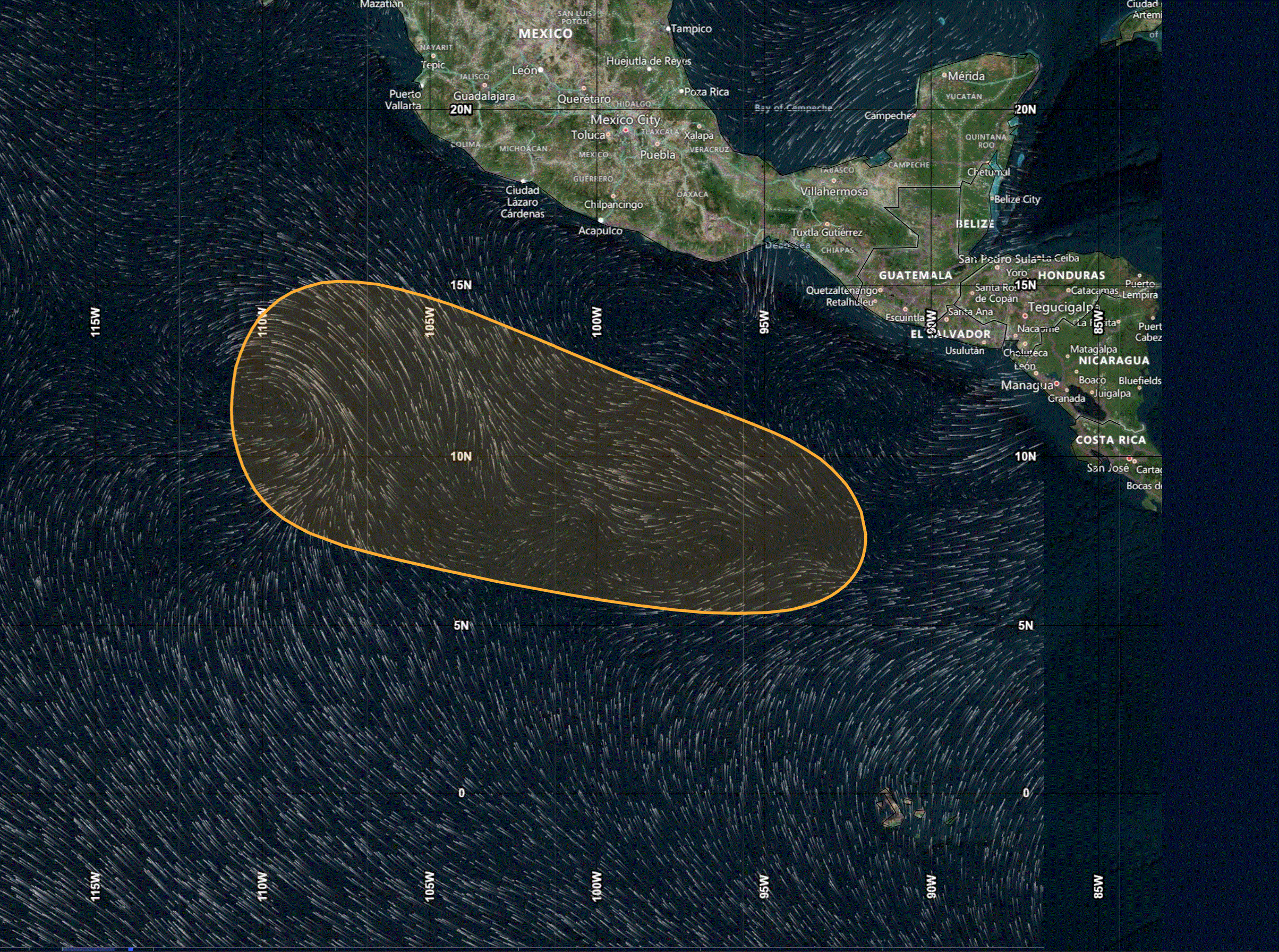
>>> Eastern and Central East Pacific:
A broad area of low pressure is forecast to develop well south of Mexico during the middle to latter part of the week. Environmental conditions appear conducive for development of the system thereafter, and a tropical depression could form while it moves westward to west-northwestward across the eastern and central portions of the eastern Pacific.
* Formation chance through 48 hours…low…near 0 percent
* Formation chance through 7 days…medium…40 percent
Here’s the link to the National Hurricane Center (NHC)
Central Pacific: There are no active tropical cyclone
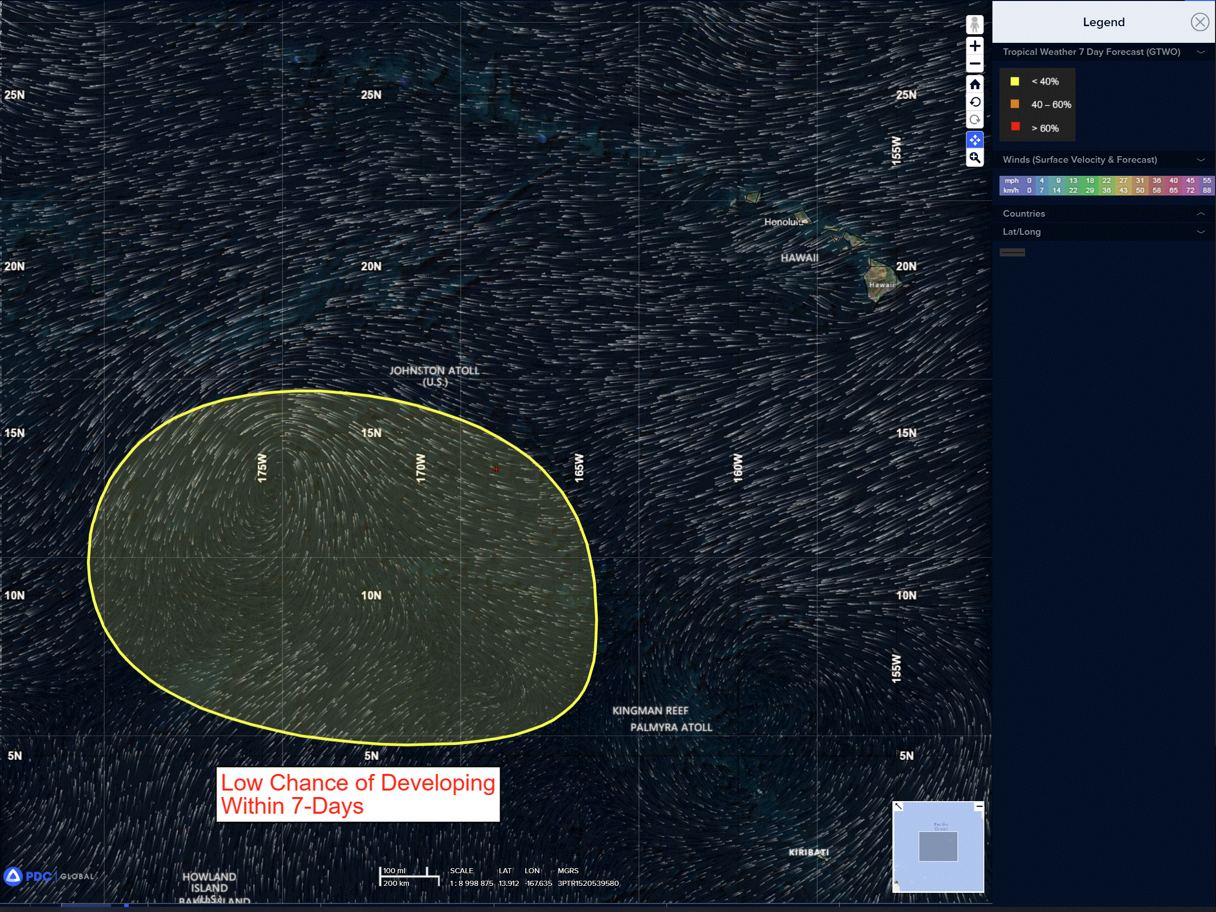
>>> South-Southwest of Hawaii:
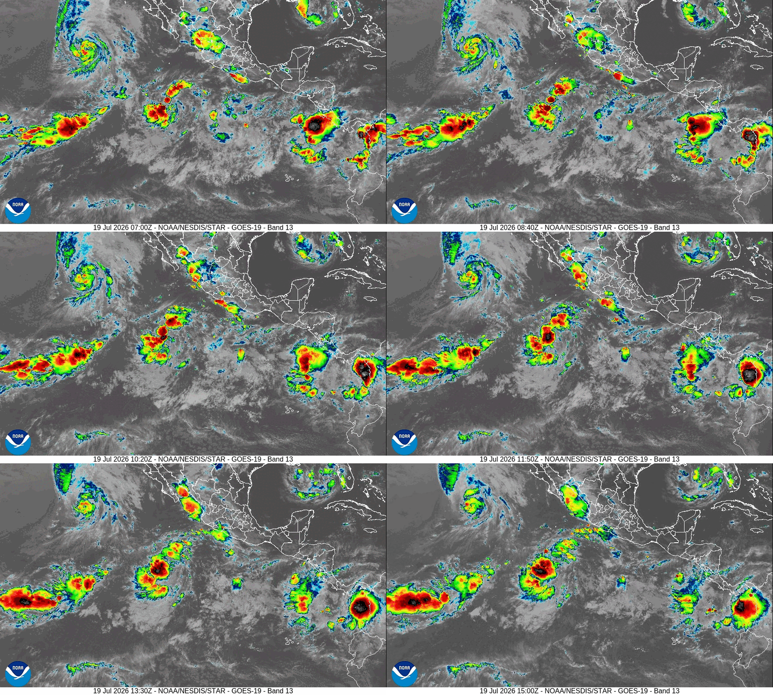
Disorganized showers and thunderstorms located several hundred miles south-southwest of the Hawaiian Islands are associated with a trough of low pressure. Environmental conditions appear conducive for some gradual development of this system as it moves westward and away from the Hawaiian islands during the next several days.
* Formation chance through 48 hours…low…near 0 percent
* Formation chance through 7 days…low…20 percent
Western Pacific, Indian Ocean, and adjacent Seas: There are no Tropical Cyclones
>>> There’s an area of disturbed weather being referred to as Invest 98P, which is located approximately 265 NM northeast of Honiara, Solomon Islands
Animated multi-spectral satellite imagery (msi) depicts persistent, deep convection wrapping around the low-level circulation center (llcc). A 200102z oscat-3 image reveals surface winds of 30-35 kts in the western periphery, although the highest winds are attenuated by rain.
The environmental conditions will be favorable for development for the next 36 hours due to warm sea surface temperatures (28-30c), low to moderate vertical wind shear (15-20 kt), and good radial outflow.
After 36 hours, the system will encounter more hostile conditions, characterized by strong shear and
robust southeasterly flow, which will quickly weaken the llcc.
Global models and ensembles continue to show some additional development over the next 24-36 hours.
Maximum sustained surface winds are estimated at 25 to 30 knots.
The potential for the development of a significant tropical cyclone within the next 24 hours remains high.