

Current Snapshot
For all the latest updates visit: DisasterAWARE
a
dolly
281445_earliest_reasonable_toa_34
goes19_ir_04L_202608281405_lat14.8-lon-45.8

04L_tracks_latest
By PDC’s Senior Weather
Specialist Glenn James

The Pacific Disaster Center’s (PDC Global) Friday, August 28, 2026, Tropical Cyclone Activity Report…for the Atlantic Ocean, the Caribbean Sea, and the Gulf of America
Current Tropical Cyclones:
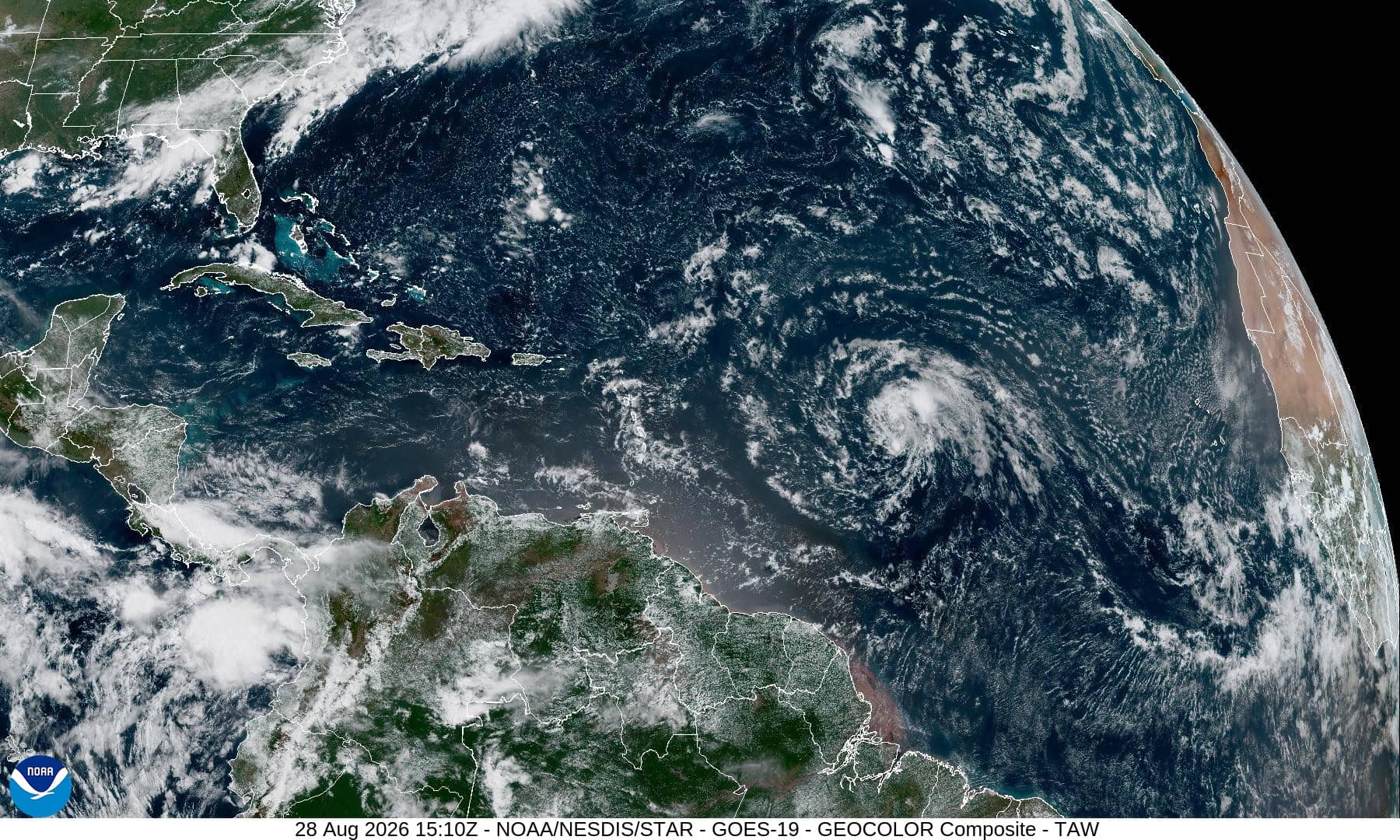
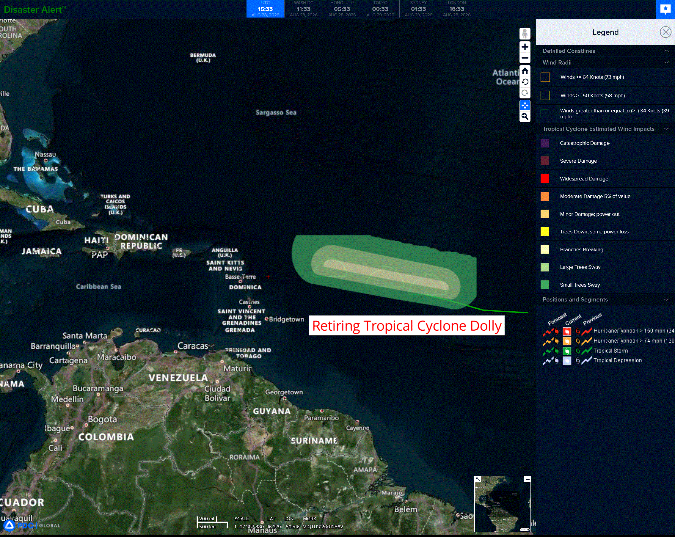
Remnants of Tropical Cyclone 04L (Dolly)…is located about 1610 east of the Leeward islands – Last Advisory
Atlantic Ocean:
Remnants of Tropical Cyclone 04L (Dolly) – Last Advisory
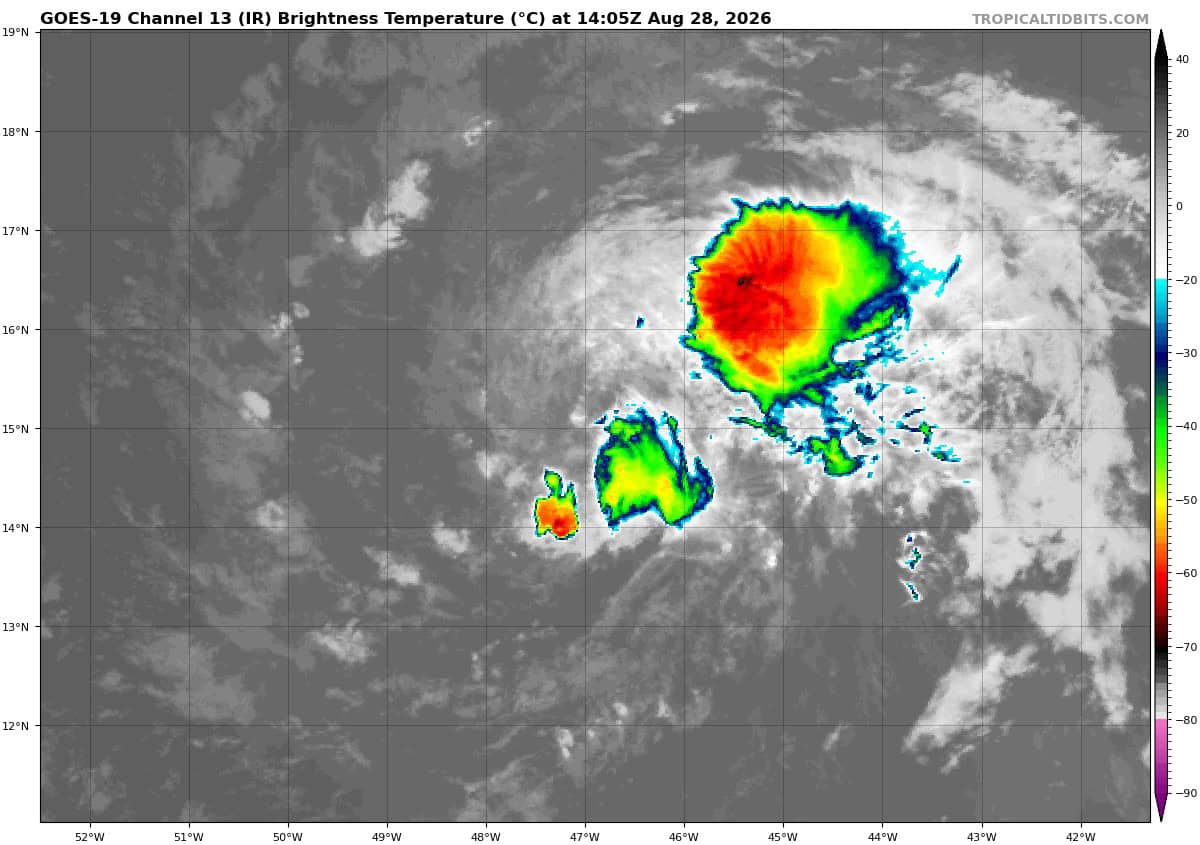
DOLLY IS NOW AN OPEN TROPICAL WAVE …INTERESTS IN THE LEEWARD ISLANDS SHOULD MONITOR THE PROGRESS OF THE REMNANTS
According to the NHC advisory number 5…
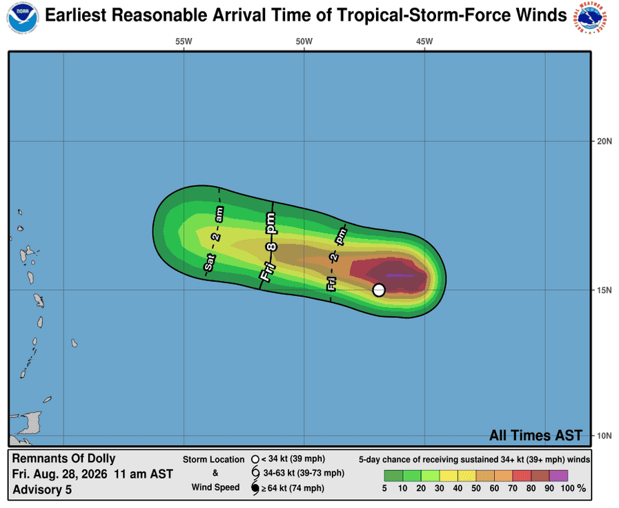
The remnants are moving toward the west near 25 mph (41 km/h) and this motion is expected to continue for the next couple of days. On the forecast track, the remnants should be nearing the Leeward Islands Saturday night and Sunday.
Maximum sustained winds are near 40 mph (65 km/h) with higher gusts. The winds associated with the remnants of Dolly are expected to decrease below tropical-storm force on Saturday.
Tropical-storm-force winds extend outward up to 115 miles (185 km) to the north of the remnants of the center.
The estimated minimum central pressure is 1008 mb (29.77 inches).
HAZARDS AFFECTING LAND
RAINFALL: Heavy rain from the remnants of Dolly could affect the Leeward Islands late Saturday into Sunday, with rainfall moving into the Virgin Islands, Puerto Rico and Hispaniola Sunday and Monday. This heavy rain may produce flash flooding within areas of higher terrain of the Leeward Islands.
Caribbean Sea: There are no active tropical cyclones
Tropical cyclone formation is not expected during the next 7 days.
Gulf of America: There are no active tropical cyclones
Tropical cyclone formation is not expected during the next 7 days.