

Current Snapshot
For all the latest updates visit: DisasterAWARE
2
7
e
c
95w
himawari9_ir_95W_202606281510_lat7.8-lon166.3
95W_gefs_latest
By PDC’s Senior Weather
Specialist Glenn James

The Pacific Disaster Center’s (PDC Global) Sunday, June 28, 2026, Tropical Cyclone Activity Report…for the Pacific Ocean, the Indian Ocean, and adjacent Seas
Current Tropical Cyclones:
There are no Tropical Cyclones
Northeast Pacific Ocean: There are no Tropical Cyclones
Western East Pacific:
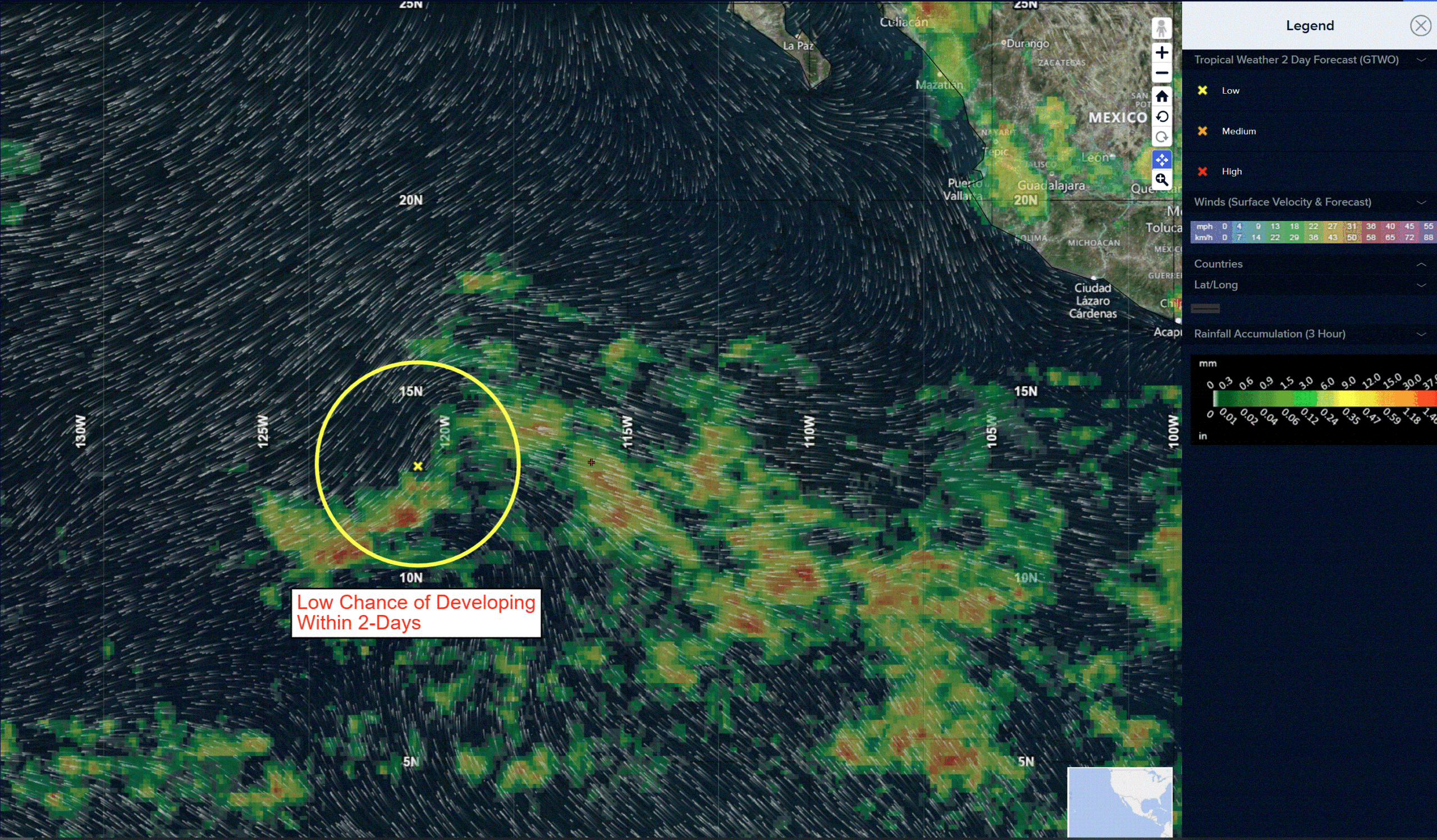
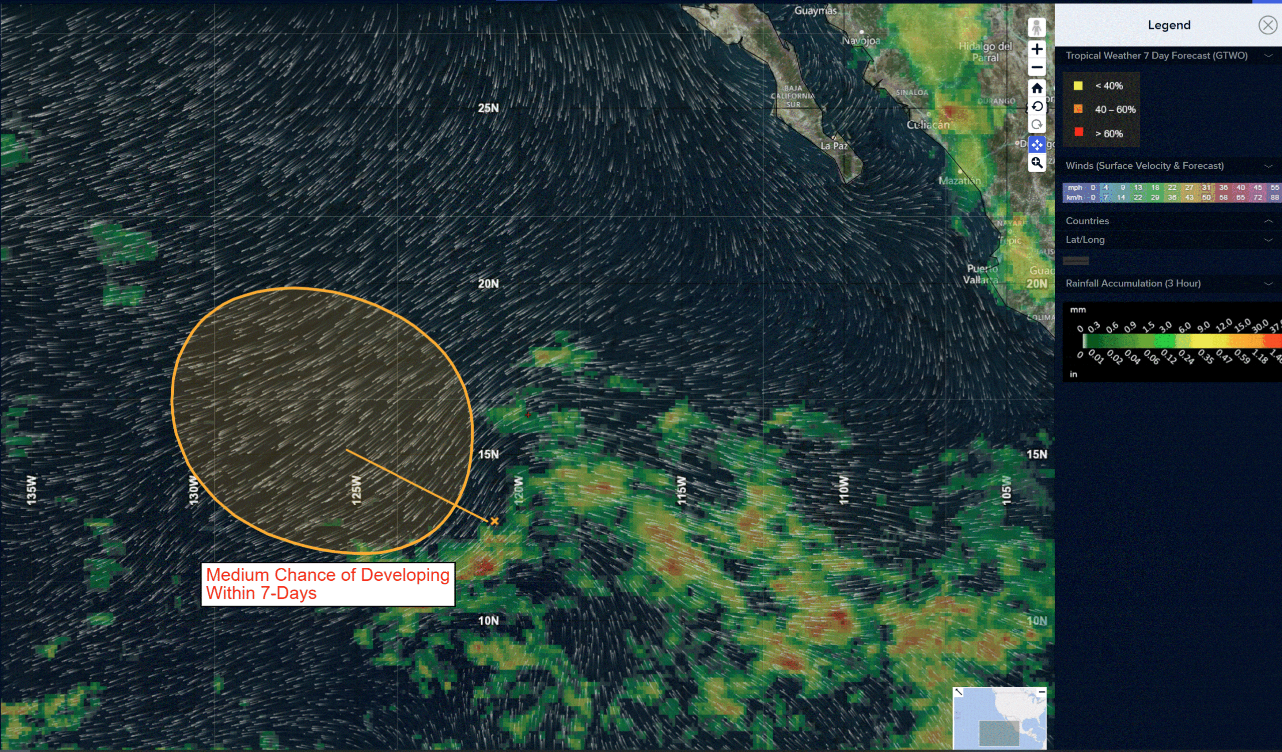
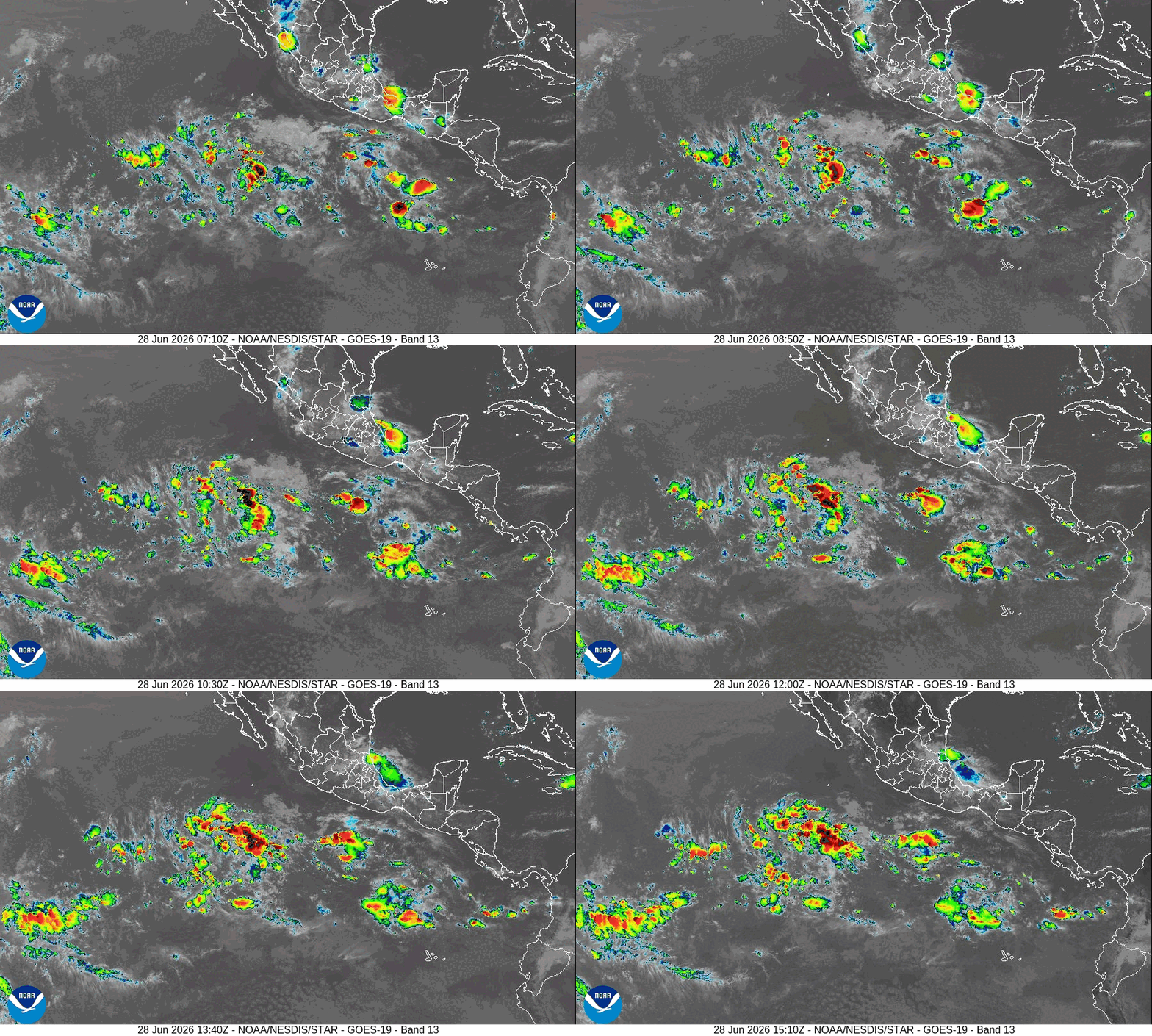
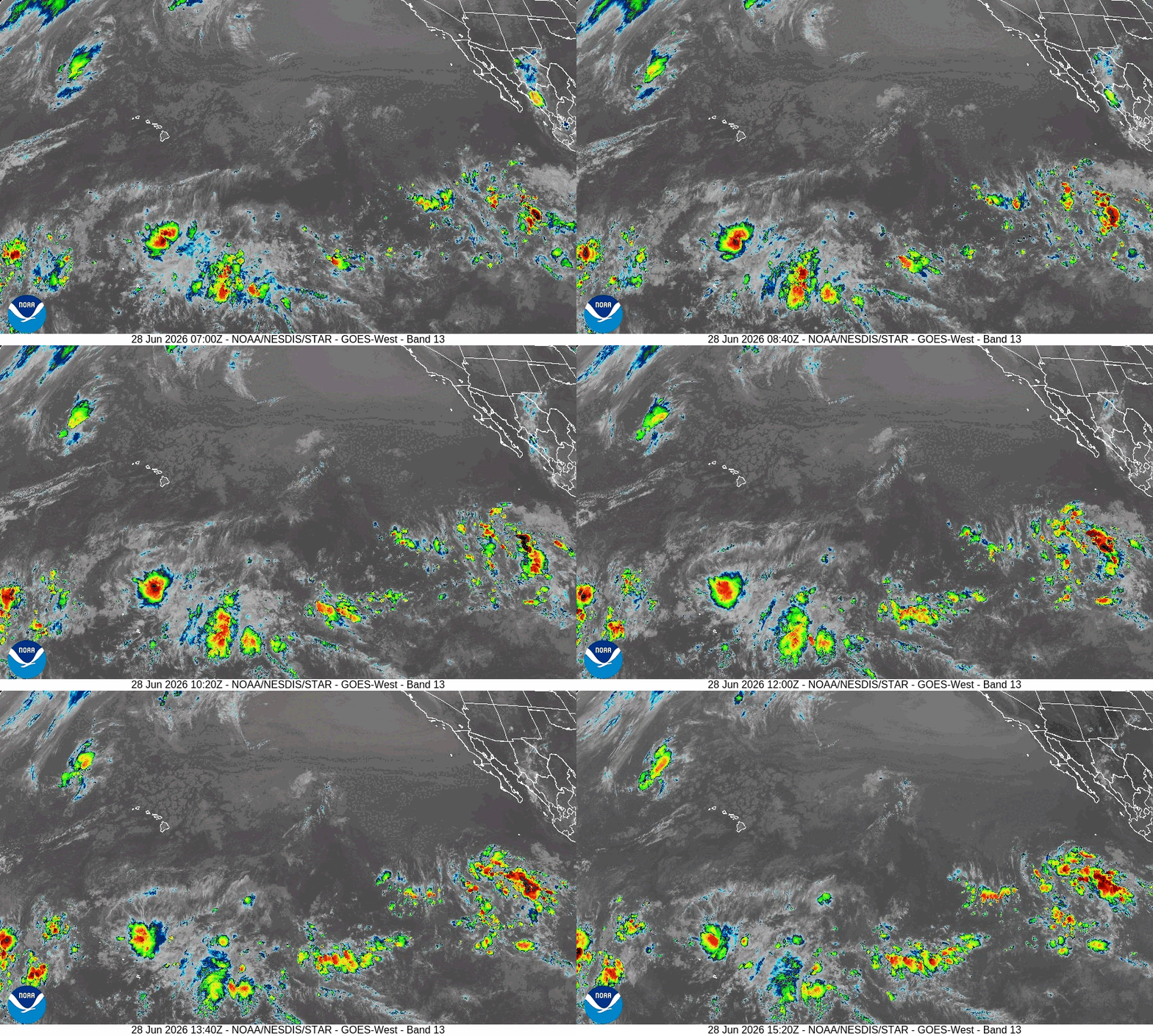
>>> Showers and thunderstorms associated with a tropical wave located well southwest of the southern tip of the Baja California Peninsula remain disorganized. Gradual development of this system is possible during the next couple of days, and a tropical depression could form by the middle of this week while the system moves generally west-northwestward and then northwestward. Environmental conditions are forecast to become less conducive for development by late week as the system encounters increasing shear and cooler waters.
* Formation chance through 48 hours…medium…40 percent
* Formation chance through 7 days…medium…50 percent
Central Pacific Ocean: There are no Tropical Cyclones
Western Pacific, Indian Ocean, and adjacent Seas: There are no Tropical Cyclones
Western Pacific
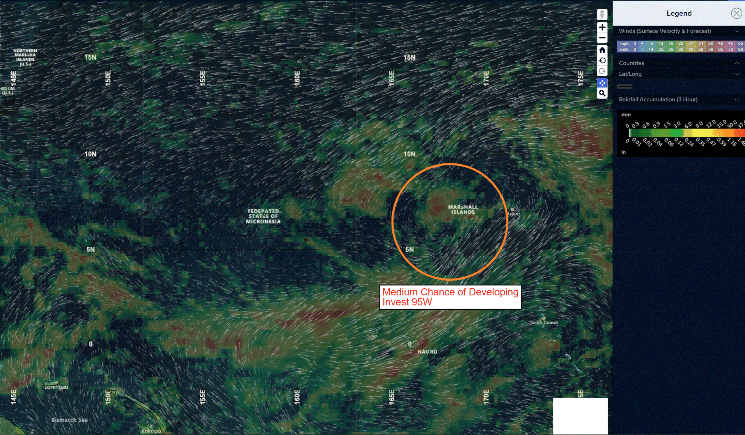
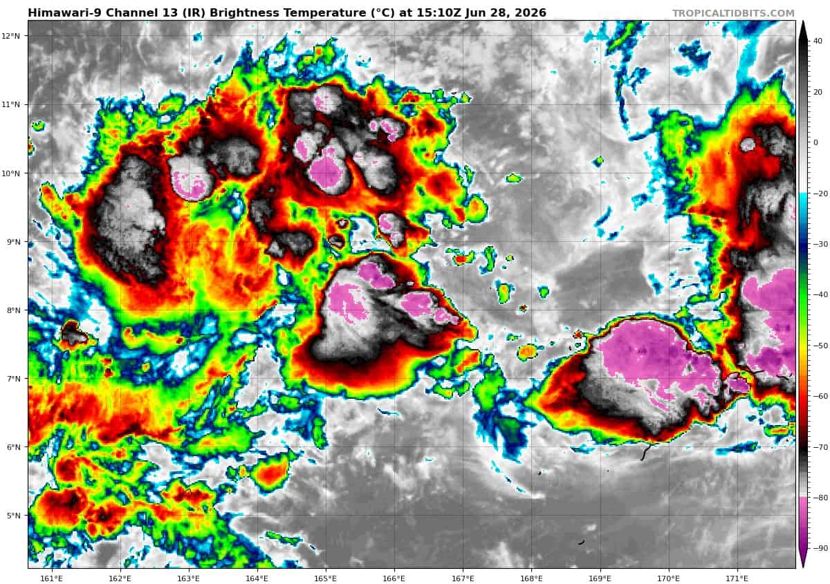
>>> There’s an area of disturbed weather being referred to as Invest 95W, which is located approximately 25 NM north of Kwajalein
Animated multi-spectral satellite imagery (msi) shows a broad and elongated circulation with flaring convection along the eastern and western boundaries of the system.
Environmental analysis reveals favorable conditions for development with low vertical wind shear (less than 15 knots), good poleward and equatorward outflow aloft, and warm (29-30c) sea surface temperatures.
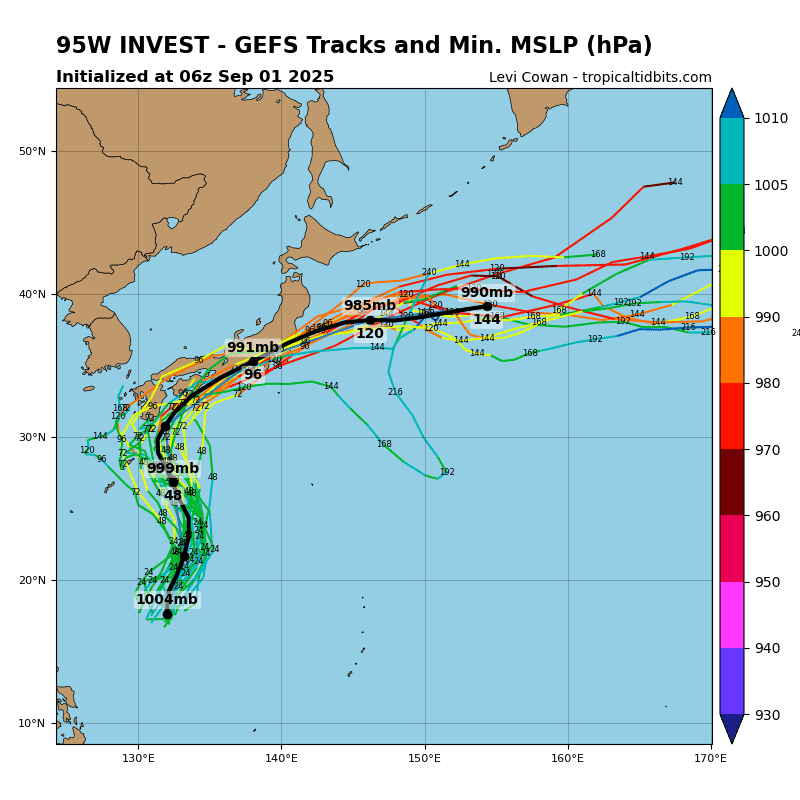
Global models depict 95Ww continuing to consolidate with slow movement over the next 24-48 hours.
Maximum sustained surface winds are estimated at 20 to 25 knots.
The potential for the development of a significant tropical cyclone within the next 24 hours remains medium.
Western Pacific
>>> There’s an area of disturbed weather being referred to as Invest 96W, which is located approximately 591 NM east-southeast of Manila
Animated multi-spectral satellite imagery (msi) shows an elongated low-level circulation with disorganized convection throughout the northern periphery.
Environmental analysis reveals favorable conditions for development with moderate vertical wind shear (15-20 knots), equatorward outflow aloft and warm (29-30c) sea surface temperatures.
Global models show invest 96W transiting northwestward over the Philippines over the next 48-72 hours with potential development within the South China Sea.
Maximum sustained surface winds are estimated at 13 to 18 knots.
The potential for the development of a significant tropical cyclone within the next 24 hours is low.