

Current Snapshot
For all the latest updates visit: DisasterAWARE
two
seven
e

95E_tracks_latest
c
95w

95W_tracks_latest
96W_tracks_latest
By PDC’s Senior Weather
Specialist Glenn James

The Pacific Disaster Center’s (PDC Global) Tuesday, June 30, 2026, Tropical Cyclone Activity Report…for the Pacific Ocean, the Indian Ocean, and adjacent Seas
Current Tropical Cyclones:
Tropical Cyclone 09W is located approximately 151 NM east-southeast of Ujelang
Northeast Pacific Ocean: There are no Tropical Cyclones
Western East Pacific:
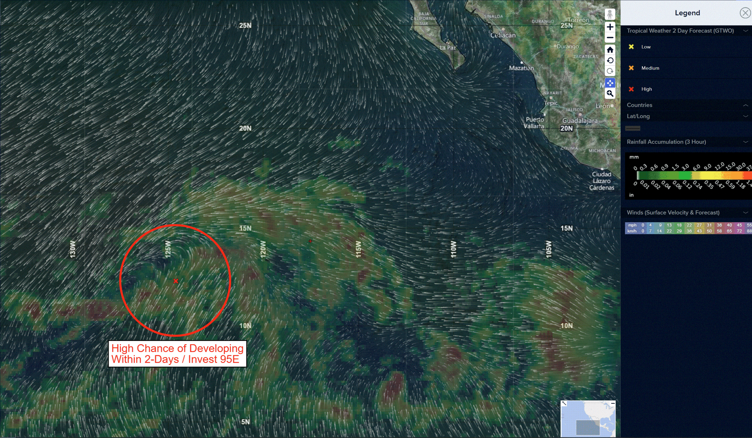
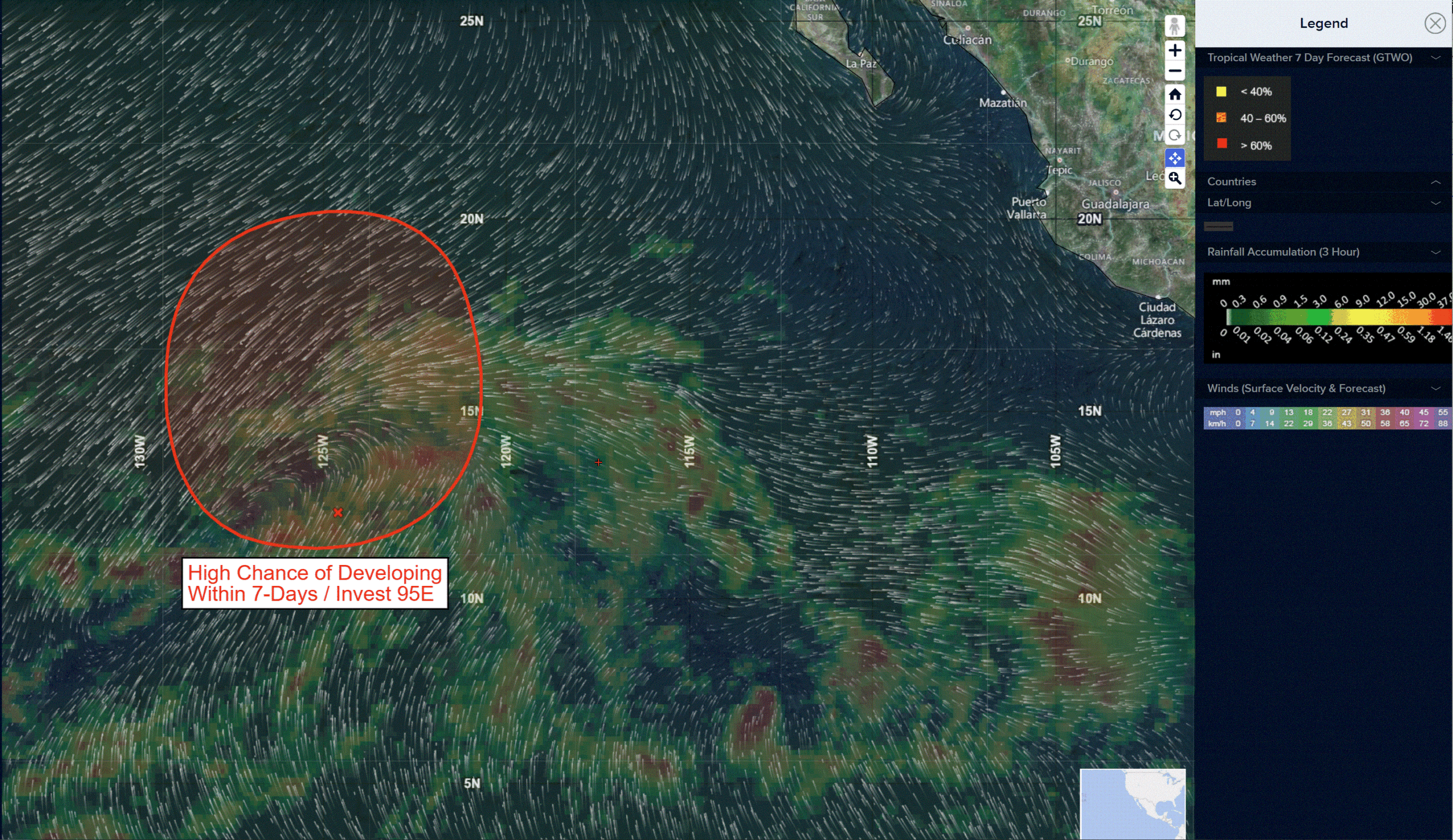
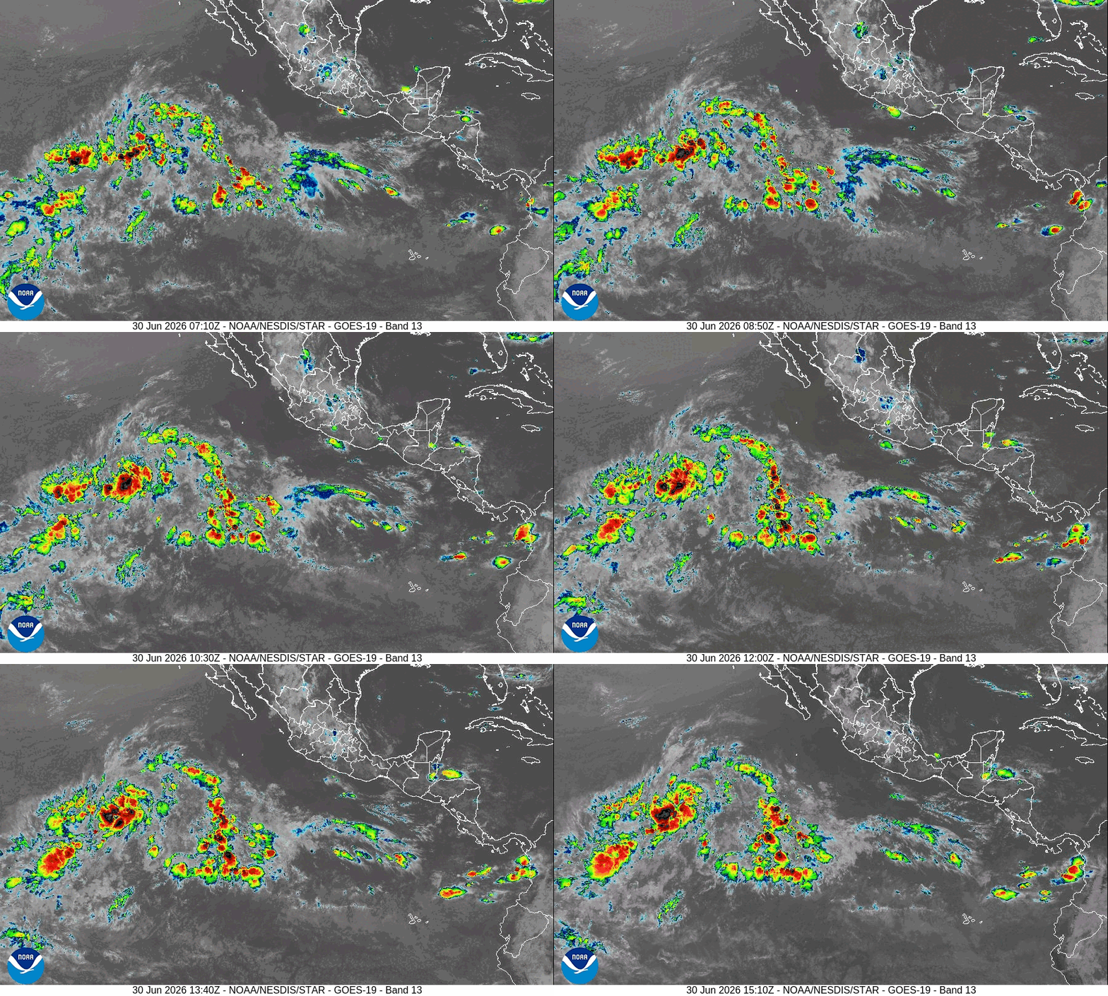
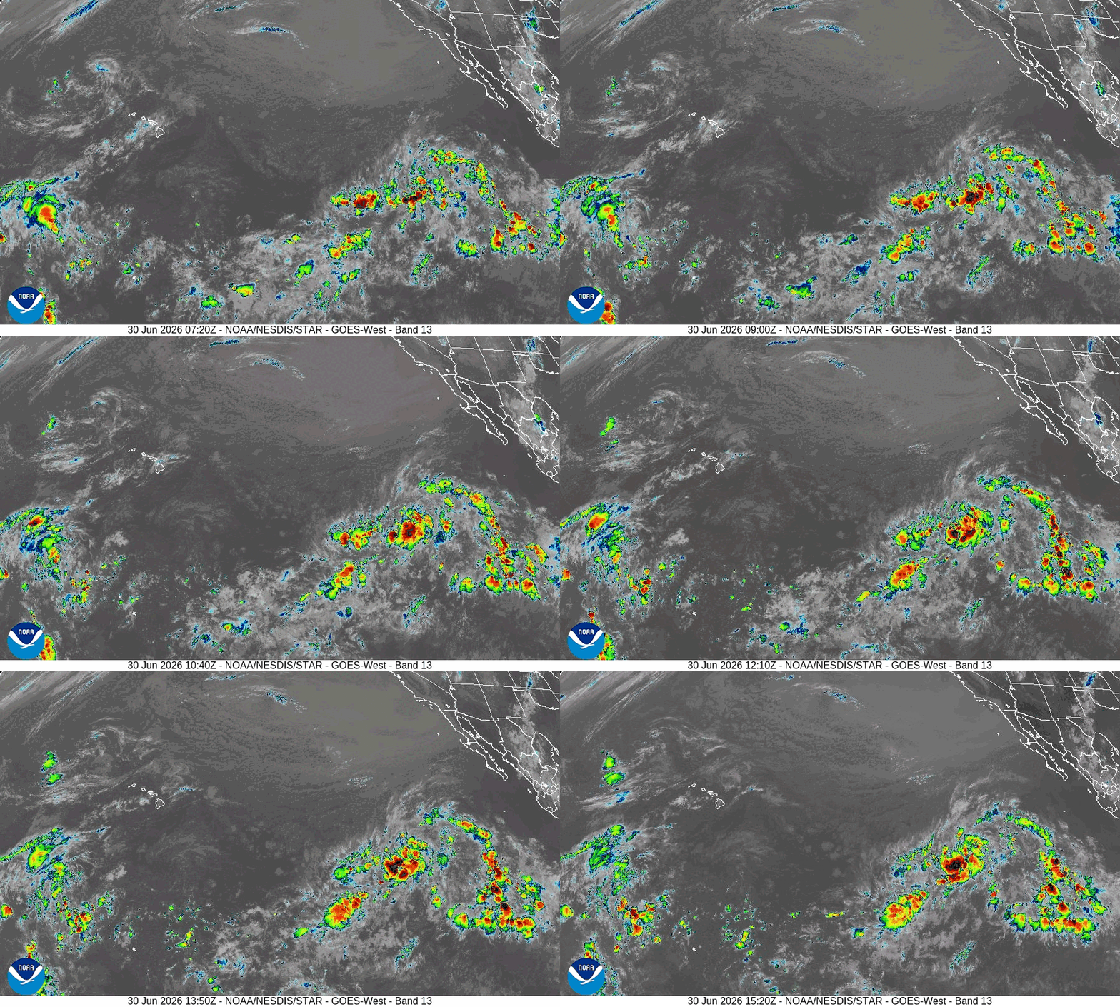
Invest 95E
>>> Showers and thunderstorms associated with an area of low pressure located well west-southwest of the southern tip of the Baja California Peninsula continue to gradually become better organized. Environmental conditions are favorable for additional development, and a tropical depression is expected to form on Wednesday while the system moves generally northwestward and then northward.
* Formation chance through 48 hours…high…90 percent
* Formation chance through 7 days…high…90 percent
Central Pacific Ocean: There are no Tropical Cyclones
Western Pacific, Indian Ocean, and adjacent Seas: There are no Tropical Cyclones
Western Pacific
Tropical Cyclone 09W
According to the JTWC Warning Number 1, sustained winds are 25 knots with gusts to 35 knots
Western Pacific
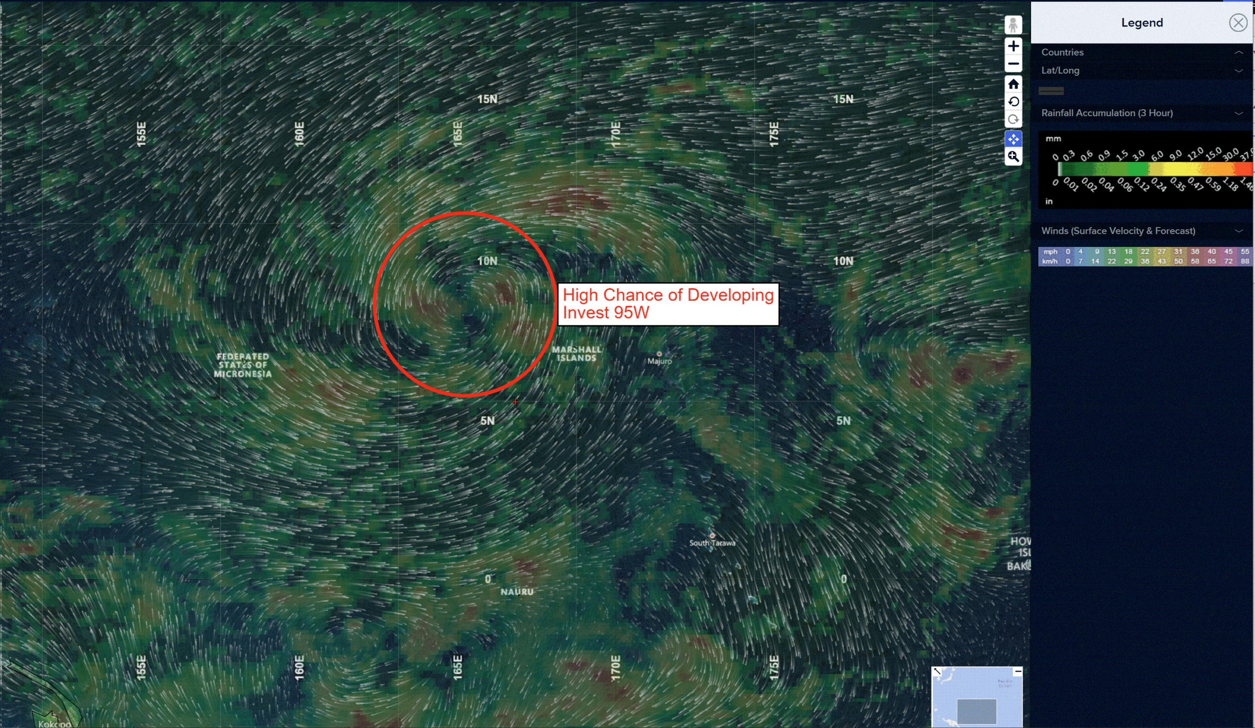
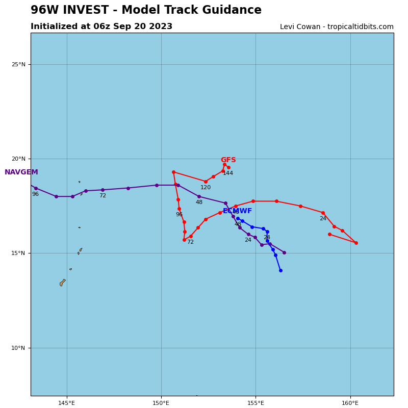
>>> There’s an area of disturbed weather being referred to as Invest 96W, which is located approximately 70 NM southwest of Manila
Animated enhanced infrared satellite imagery (eir) depicts deep convection consolidating over the low-level circulation center (llcc) with curved deep convective banding in the southern periphery.
Environmental analysis for the area indicates a favorable environment for development once it moves over the South China Sea with warm sea surface temperatures (30-31c), low vertical wind shear (10-15kts), and good equatorward outflow aloft.
Global models are in good agreement that 95e will rapidly intensify over the next 24 hours.
Maximum sustained surface winds are estimated at 18 to 23 knots.
The potential for the development of a significant tropical cyclone within the next 24 hours remains high.