

Current Snapshot
For all the latest updates visit: DisasterAWARE

1800×1080

10
95P
goes18_ir_95P_202611121535_lat-8.0-lon-159.4
95P_tracks_latest
By PDC’s Senior Weather
Specialist Glenn James

The Pacific Disaster Center’s (PDC Global) Thursday, November 12, 2026, Tropical Cyclone Activity Report…for the Pacific Ocean, the Indian Ocean, and adjacent Seas.
Tropical Cyclones
There are no Tropical Cyclones
Northeast Pacific: There are no Tropical Cyclones
Central North Pacific: There are no Tropical Cyclones
Western Pacific, Indian Ocean, and adjacent Seas: There are no Tropical Cyclones
Southwestern Pacific
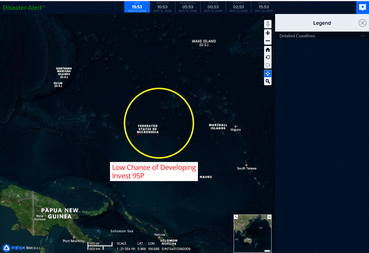
>>> There’s an area of disturbed weather that is being referred to as Invest 95P, which is located approximately 772 NM east-northeast of Pago Pago
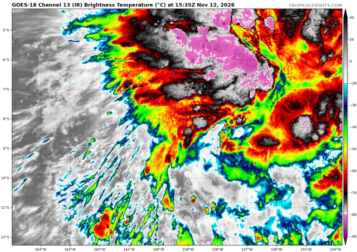
Animated multi-spectral satellite imagery (msi) and a 120325z f18 ssmis 91 ghz microwave image depicts 95P with a broad, low-level circulation and improving convective banding in the southern semicircle.
Previous scatterometer data revealed that the wind field is highly asymmetric, with the western side of the circulation being much weaker than the eastern side.
Environmental analysis of the area indicates a favorable area for development with warm sea surface temperatures (29-30 c), low
vertical wind shear (5-10 kts), abundant moisture within the area, and moderate poleward outflow aloft.
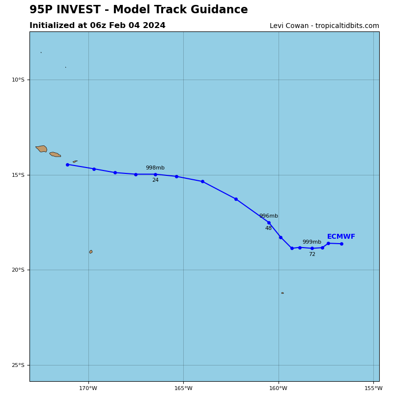
Global deterministic and ensemble models agree on further consolidation of 95P as the system slowly transits southward. maximum sustained surface winds are estimated at 18 to 23 knots.
Minimum sea level pressure is estimated to be near 1008 mb.
The potential for the development of a significant tropical cyclone within the next 24 hours remains low.
North Indian Ocean
>>> There’s an area of disturbed weather that is being referred to as Invest 92B, which is located approximately 517 NM east-southeast of Chennai, India
Animated enhanced infrared imagery (eir) depicts disorganized convection
partially obscuring a loosely defined low-level circulation. a 121549z ascat pass reveals a broad area of light winds and 20 kt westerlies along the southern periphery.
Environmental analysis indicates a favorable area for development with low to moderate vertical wind shear (15-20kts), radial outflow, and very warm sea surface temperatures (29-30c).
Global deterministic and ensemble models depict gradual development over the next 48 hours as the system transits northwestward.
Maximum sustained surface winds are estimated at 13 to 18 knots.
Minimum sea level pressure is estimated to be near 1009 mb.
The potential for the development of a significant tropical cyclone within the next 24 hours is low.