

Current Snapshot
For all the latest updates visit: DisasterAWARE
2
111435_earliest_reasonable_toa_34
goes18_ir_04C_202611111605_lat9.9-lon-167.1
04C_tracks_latest
31W_111200sair
himawari9_ir_31W_202611111600_lat30.2-lon154.1
31W_gefs_latest
By PDC’s Senior Weather
Specialist Glenn James

The Pacific Disaster Center’s (PDC Global) Wednesday, November 11, 2026, Tropical Cyclone Activity Report…for the Pacific Ocean, the Indian Ocean, and adjacent Seas.
Tropical Cyclones
Tropical Storm Pena…is located 1020 miles southwest of Honolulu, Hawaii
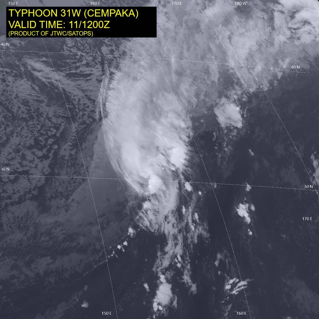
Tropical Cyclone 31W (Cempaka)…is located approximately 360 NM north of Minami Tori Shima – Final Warning
Northeast Pacific: There are no Tropical Cyclones
Central North Pacific:
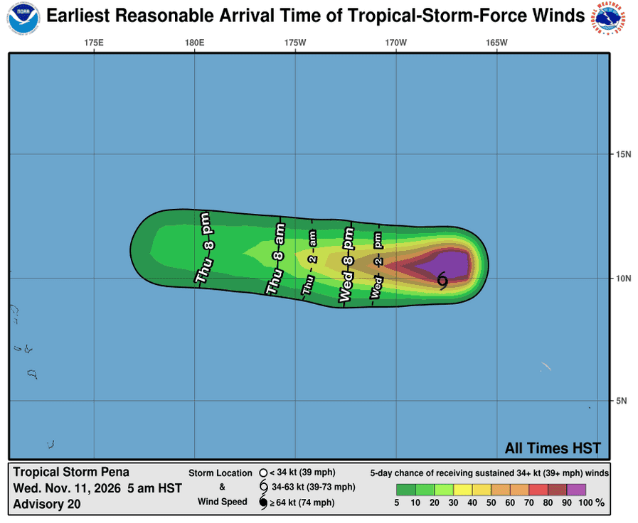
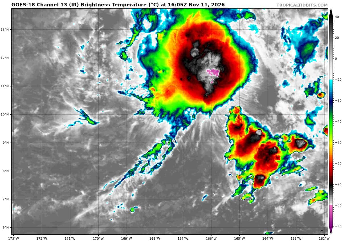
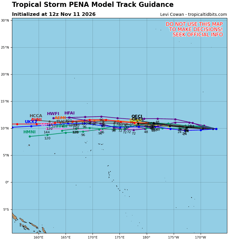
Tropical Storm Pena
PENA MOVING TO THE WEST-SOUTHWEST
According to the NHC advisory number 20…
Pena is moving toward the west-southwest near 9 mph (15 km/h), and this general motion is expected for the next few days.
Maximum sustained winds are near 45 mph (75 km/h) with higher gusts. Little change in strength is forecast during the next day or so, followed by gradual weakening after Thursday.
Tropical-storm-force winds extend outward up to 115 miles (185 km) from the center. The estimated minimum central pressure is 1002 mb (29.59 inches).
Western Pacific, Indian Ocean, and adjacent Seas:
Western Pacific
Tropical Cyclone 31W (Cempaka)
According to the JTWC warning number 22…sustained winds were 65 knots with gusts to 80 knots
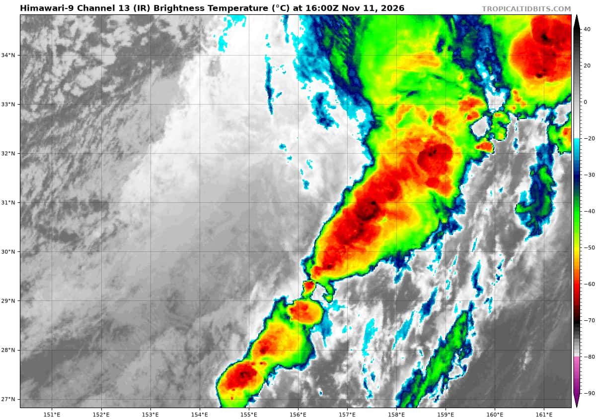
animated enhanced infrared (eir) imagery depicts typhoon 31w with a rapidly deteriorating convective structure as it continues to merge with a cold front. an 111051z metop-b ascat pass revealed the low level circulation center (llcc) beginning to open up into the broader troughing associated with the frontal system.
the ascat also shows an increasingly asymmetrical wind field with enhanced winds confined to the southern semicircle. a previous 110809z smos pass revealed the system to have 65-70 kt winds near the core, supporting an initial intensity of 65 kts.
environmental conditions are assessed as unfavorable as vertical wind shear (vws) has risen to over 40 kts, sea surface temperatures are 25-26 c, and dry air from the cold side of the frontal system entrains into 31w.
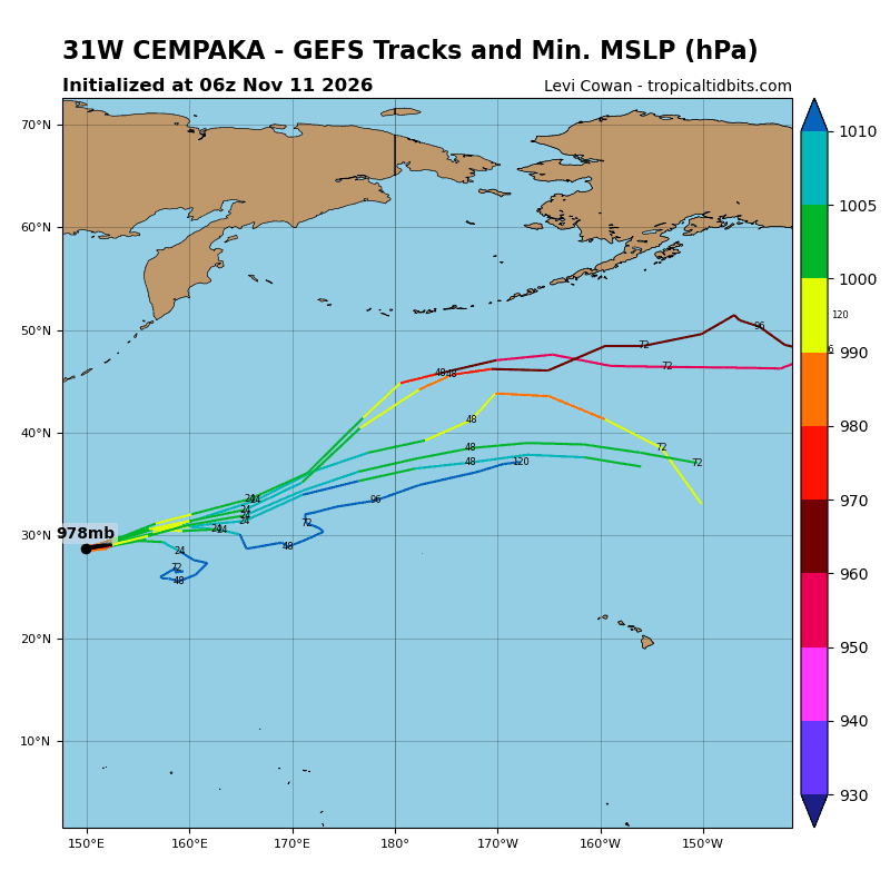
deterministic model guidance is in good agreement on 31w continuing to dissipate within the next 12 hours while accelerating northeastward. model guidance also agrees on steady weakening for the next 24 hours, however wind speeds are expected to remain above tropical storm strength as the system opens up within the larger frontal feature.