

Current Snapshot
For all the latest updates visit: DisasterAWARE
1800x1080e
2e
7e
7

c

1800x1080c
95C_gefs_latest
infa
30W_050600sair
99w
himawari9_ir_99W_202611051500_lat16.0-lon153.1

99W_tracks_latest
94s
meteosat9_ir_94S_202611051506_lat-10.9-lon58.2
94S_tracks_latest
By PDC’s Senior Weather
Specialist Glenn James

The Pacific Disaster Center’s (PDC Global) Thursday, November 5, 2026, Tropical Cyclone Activity Report…for the Pacific Ocean, the Indian Ocean, and adjacent Seas.
Tropical Cyclones
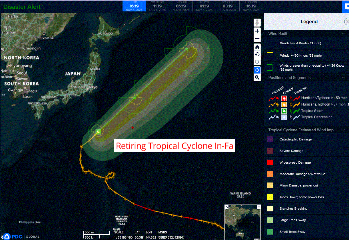
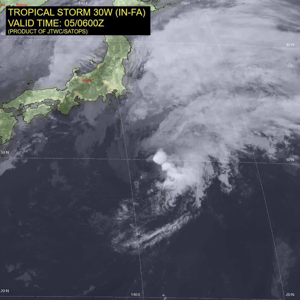
Tropical Cyclone 30W (In-fa)…is located approximately 366 NM south-southeast of Yokosuka, Japan – Final Warning
Northeast Pacific: There are no Tropical Cyclones
>>> Eastern East Pacific:
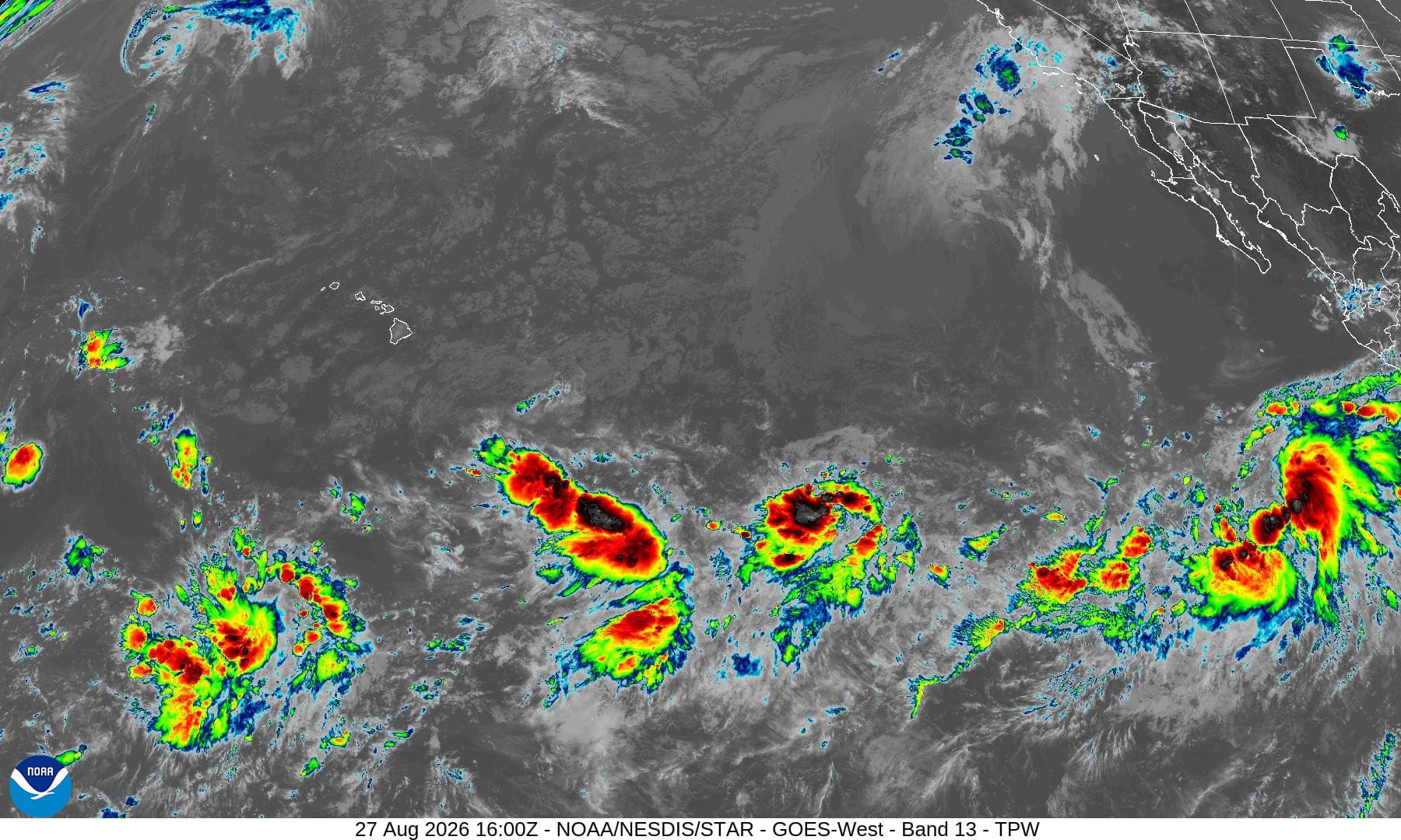
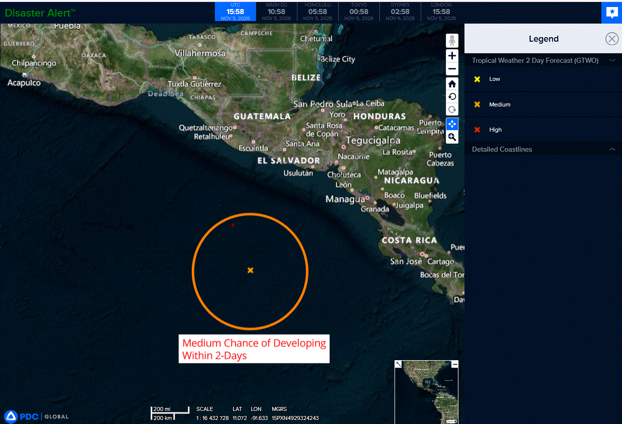
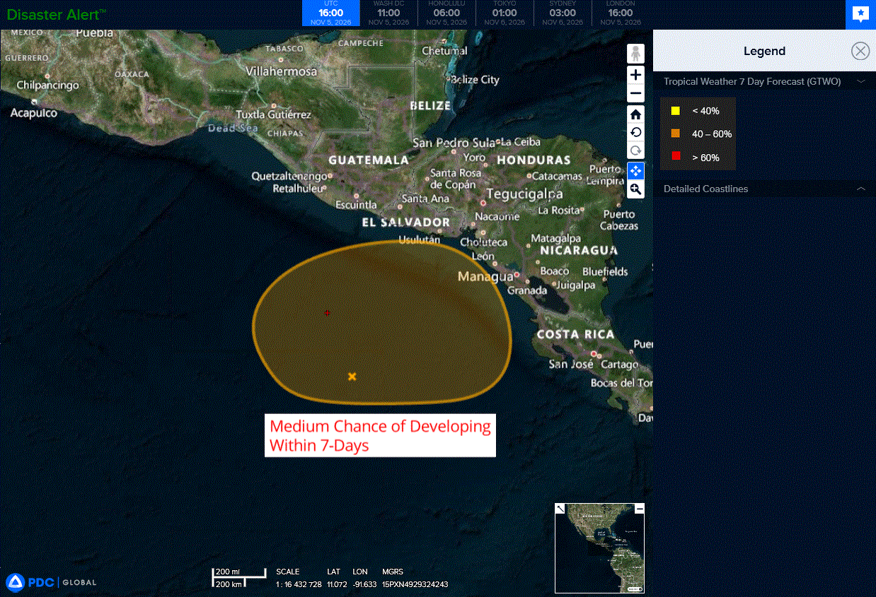
A broad area of low pressure offshore of Central America is producing a large area of showers and thunderstorms that have not become any better organized over the past day.
Gradual development of this system is possible during the next several days, and a tropical depression could form by this weekend while the low drifts slowly offshore of the Central America coast.
Regardless of development, this system could bring areas of heavy rain to portions of Central America through this weekend.
* Formation chance through 48 hours…medium…40 percent
* Formation chance through 7 days…medium…60 percent
Central North Pacific: There are no Tropical Cyclones
>>> Well Southeast of the Hawaiian Islands:
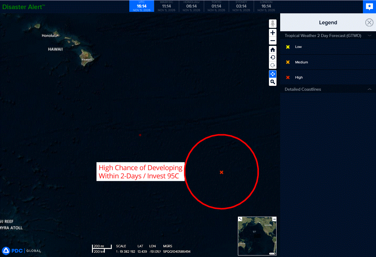
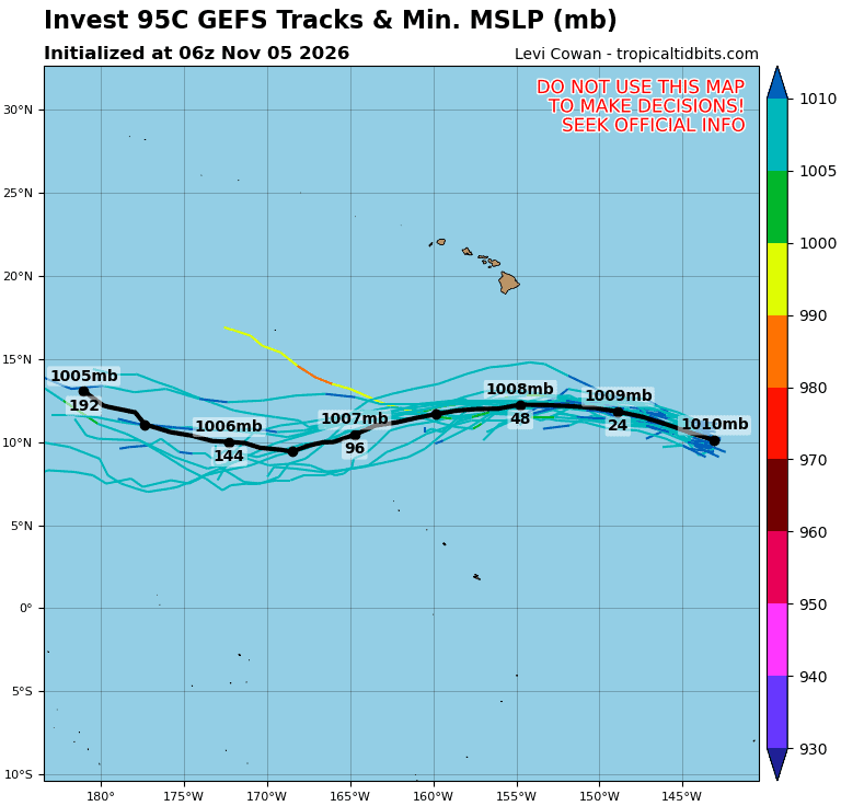
Invest 95C
Showers and thunderstorms continue to show signs of organization in association with an area of low pressure located over the eastern portion of the Central Pacific basin.
While earlier satellite wind data suggested the system does not yet have a well-defined circulation, environmental conditions appear conducive for additional development.
A tropical depression is now likely to form over the next day or so while the system moves westward to west-northwestward at 10 to 15 mph, passing well south of the Hawaiian Islands.
* Formation chance through 48 hours…high…80 percent
* Formation chance through 7 days…high…80 percent
Western Pacific, Indian Ocean, and adjacent Seas:
Western Pacific
Tropical Cyclone 30W (In-Fa) – Final Warning
According to the JTWC warning number 49…sustained winds were 80 knots with gusts to 100 knots
Animated multi-spectral satellite imagery (msi) depicts a rapidly deteriorating system, with a now fully exposed low level circulation center (llcc) on the southwestern periphery of an area of convection which is developing into a delta rain region, indicative of the rapid onset of extratropical transition (ett). The msi also depicts strong warm frontogenesis occurring in the northeastern sector of the circulation. The system is currently moving across the 26c isotherm and entering an area with significantly cooler ssts.
Environmental conditions are highly unfavorable for sustainment as a
tropical system, with nearly 50 knots of vertical wind shear, rapidly cooling ssts below 26c, though outflow into the rear entrance region of a polar jet max is helping to sustain convection for the moment. The system is also phasing with a 500mb trough rapidly approaching from the west, as which will accelerate the ett, which is forecast to be completed within the next 12 hours.
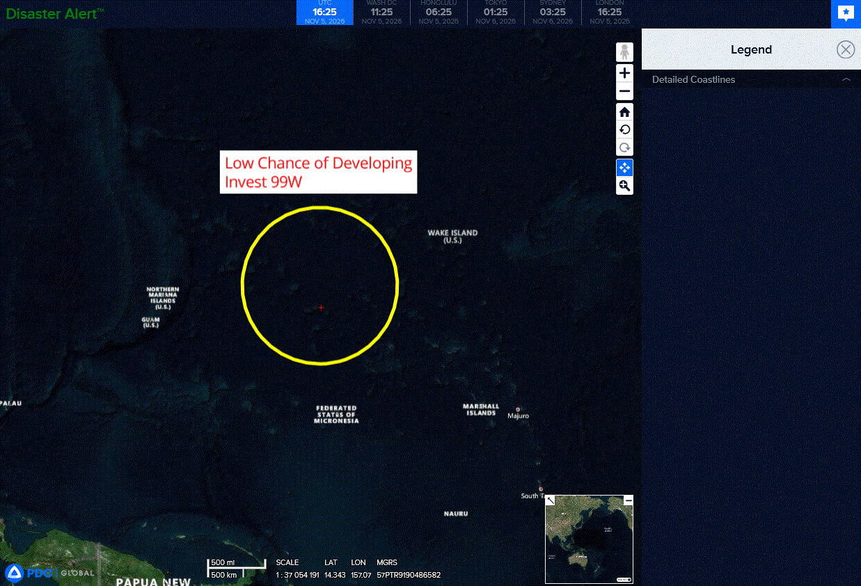
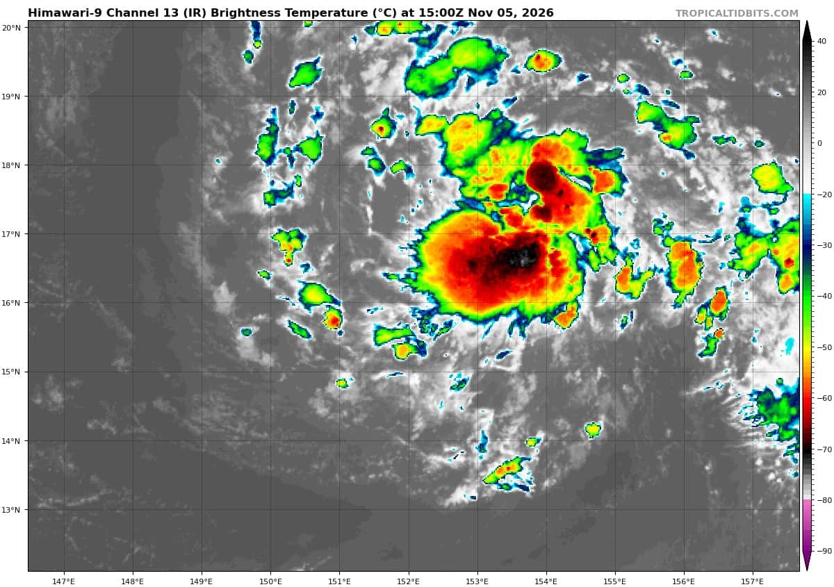
>>> There’s an area of disturbed weather being referred to as Invest 99W, which is located approximately 738 NM east-northeast of Guam
Animated multi-spectral satellite imagery (msi) and a 042103z ssmis f16 91ghz microwave pass depict a poorly-organized, fully exposed wave feature, with disorganized flaring convection to the north and east of the wave axis. A 042244z ascat-c pass, shows a well-defined easterly wave feature, with an axis along 158e, moving rapidly westward with enhanced winds along the northern semicircle while lacking a westerly wind component equatorward the wave.
Environmental analysis reveals a marginally favorable environment for development with low vertical wind shear (vws) of 5-10 knots, weak upper-level outflow, and warm sea surface temperatures (sst) of 28-29c.
Global deterministic and ensemble models are in good agreement portraying slow consolidation into a circulation center, while 99W slowly transits westward, over the next 48 hours.
Maximum sustained surface winds are estimated at 15 to 23 knots.
Minimum sea level pressure is estimated to be near 1010 mb.
The potential for the development of a significant tropical cyclone within the next 24 hours remains low.
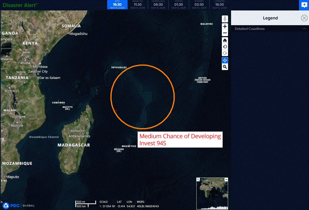
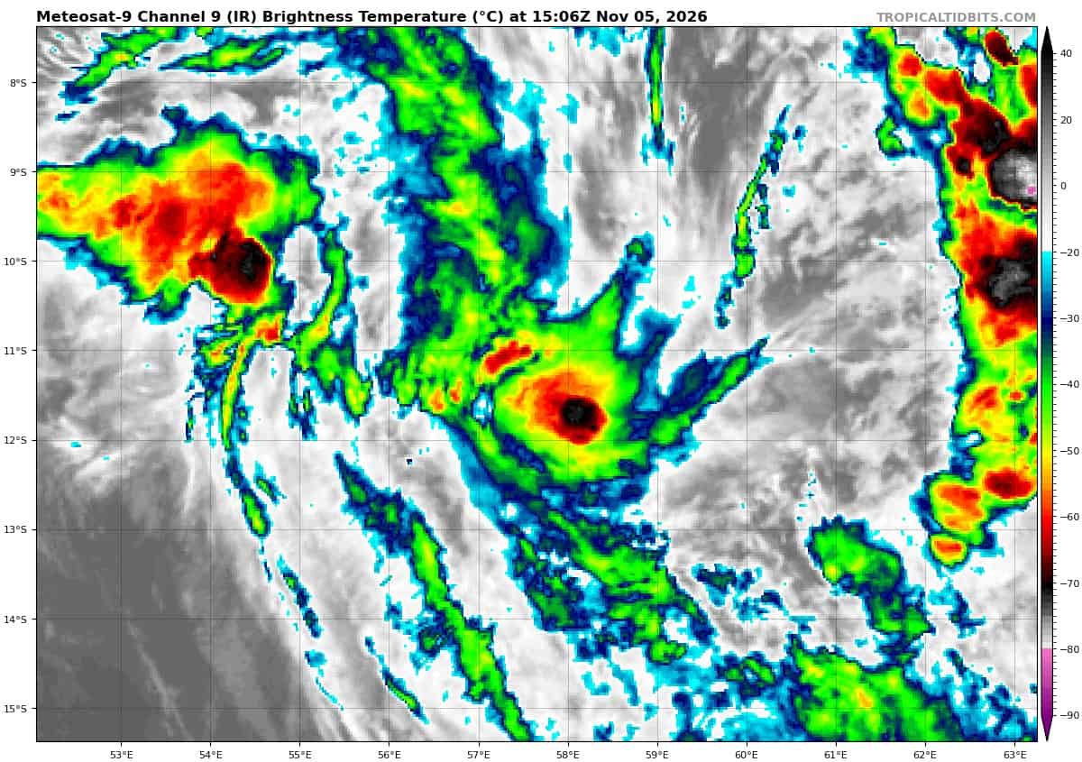
>>> There’s an area of disturbed weather being referred to as Invest 94S, which is located approximately 400 NM southeast of Seychelles
Animated multi-spectral satellite imagery (msi) and a 050128z ssmis f17 91ghz microwave pass depict a poorly-organized, elongated, and slowly
consolidating low level circulation center (llcc) with persistent deep convection developing around the llcc. A 050515z ascat-b pass shows a
highly elongated circulation, with a nascent llcc developing in the southeastern extent of the rotation. Winds around the circulation are 25-30 knot winds in the northeast of the semi-circle, while winds in the southwestern semicircle are 15-20 knots.
Environmental analysis reveals a marginally favorable environment for development with low to moderate vertical wind shear (vws) of 15-20 knots, Good upper-level outflow, and warm sea surface temperatures (sst) of 27-28c.
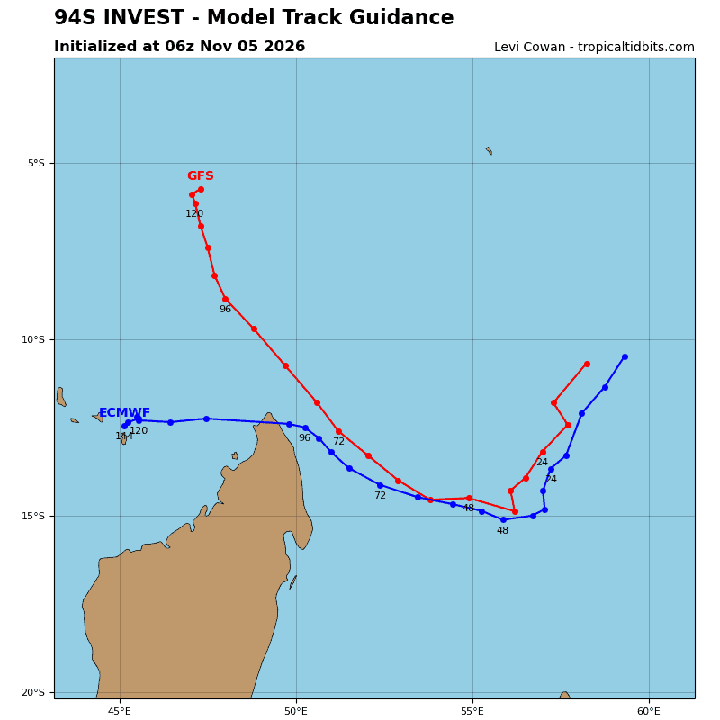
Global deterministic and ensemble models are in good agreement in portraying weak development, while 94S slowly transits southwestward, over the next 48 hours.
Maximum sustained surface winds are estimated at 25 to 30 knots.
Minimum sea level pressure is estimated to be near 1008 mb.
The potential for the development of a significant tropical cyclone within the next 24 hours is upgraded to medium.