

Current Snapshot
For all the latest updates visit: DisasterAWARE
arthur
GOES19-GA-13-1000×1000
171453WPCQPF_sm
01L_tracks_latest
By PDC’s Senior Weather
Specialist Glenn James

The Pacific Disaster Center’s (PDC Global) Wednesday, June 17, 2026, Tropical Cyclone Activity Report…for the Atlantic Ocean, the Caribbean Sea, and the Gulf of America
Current Tropical Cyclones:
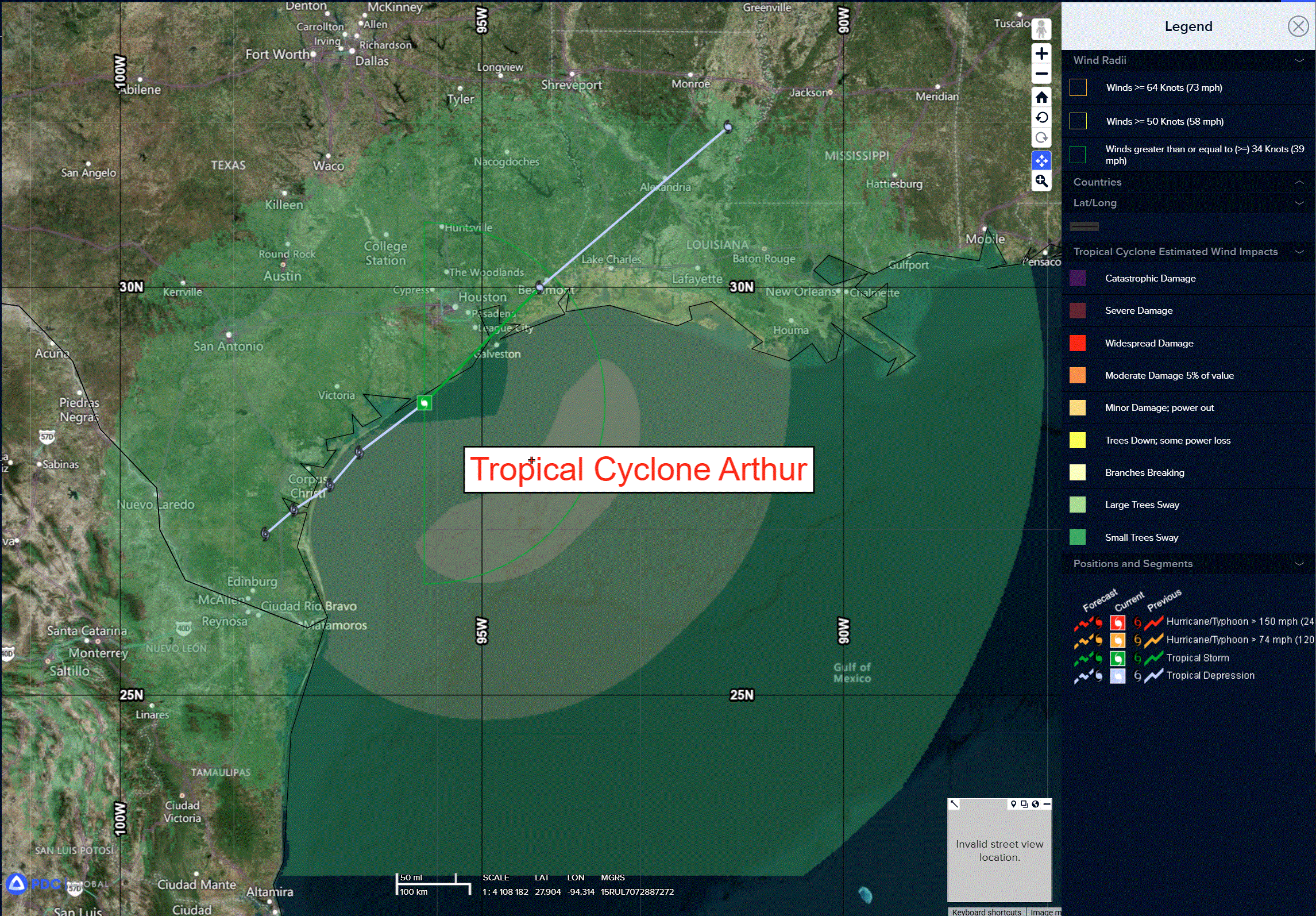
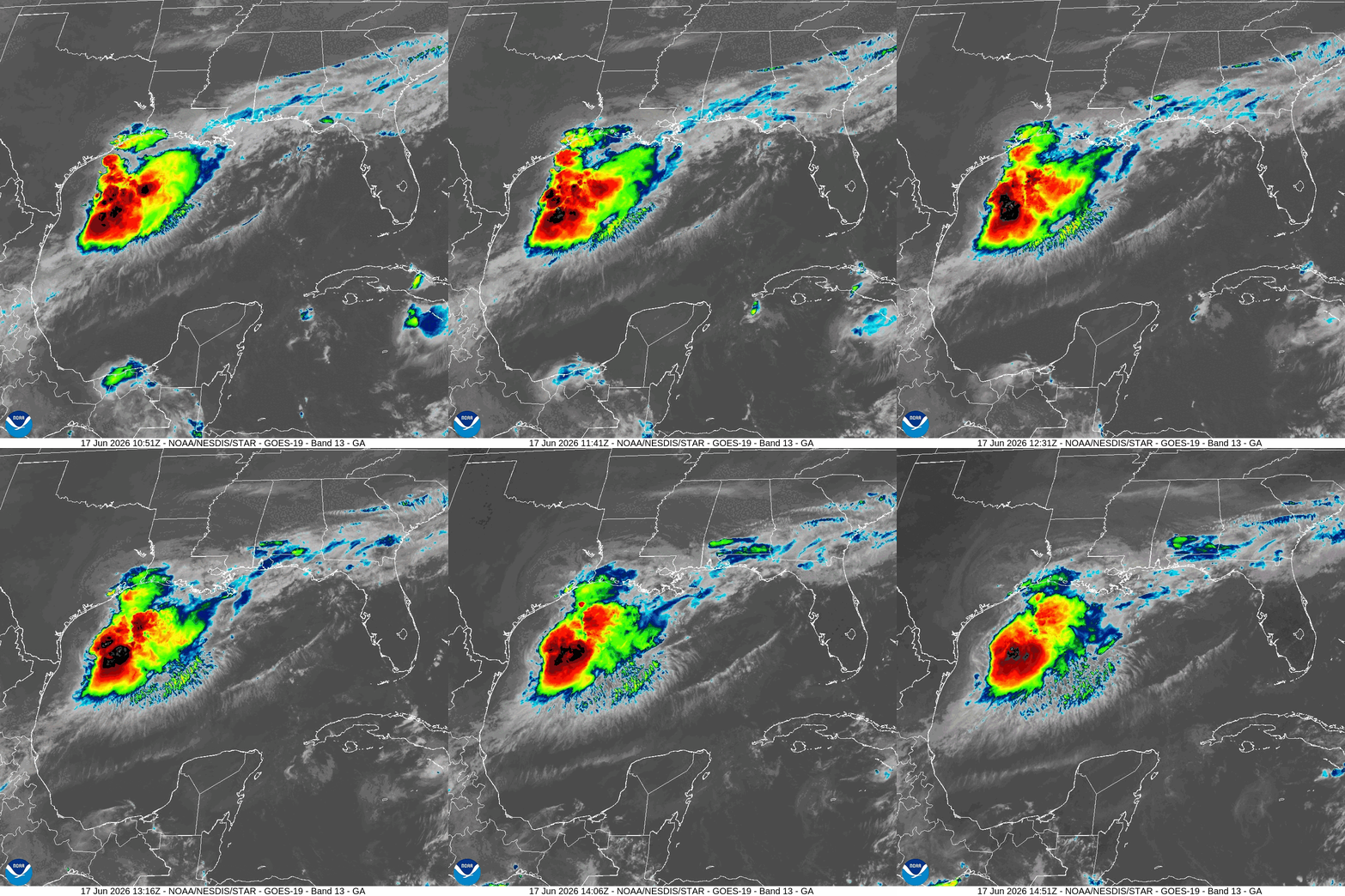
Potential Tropical Cyclone 01L (Arthur)…is located about 40 miles east-northeast of Oconnor, Texas
Atlantic Ocean: There are no active tropical cyclones
Tropical cyclone formation is not expected during the next 7 days.
Caribbean Sea: There are no active tropical cyclones
Tropical cyclone formation is not expected during the next 7 days.
Gulf of America:
Tropical Cyclone 01L (Arthur)
TROPICAL STORM ARTHUR DEVELOPS NEAR THE MIDDLE TEXAS COAST…LIFE-THREATENING FLOODING EXPECTED ACROSS PORTIONS OF THE SOUTHEASTERN UNITED STATES
According to the NHC Advisory number 5
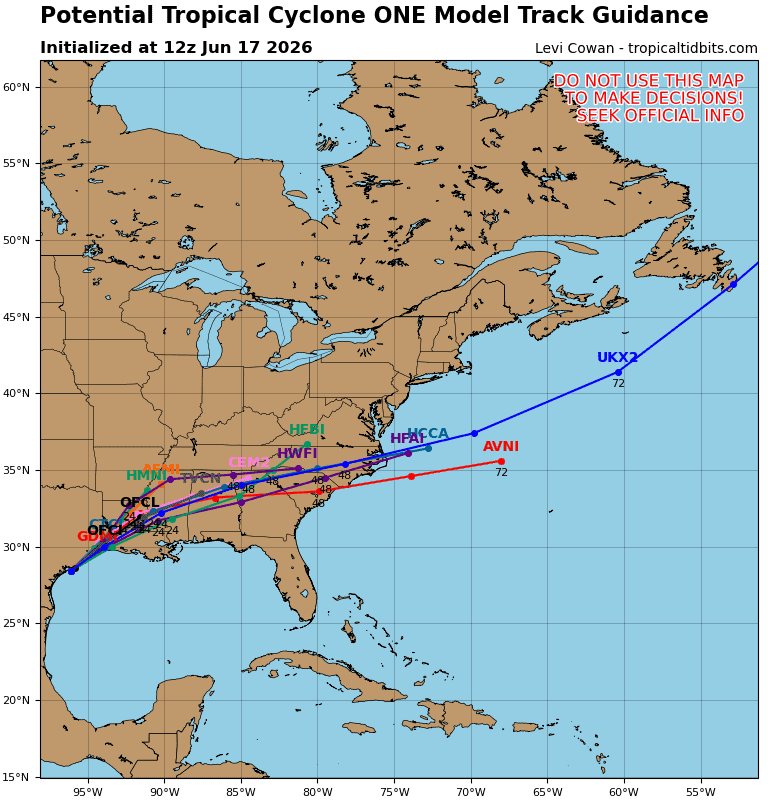
Arthur is moving toward the northeast near 9 mph (15 km/h), and an increase in forward speed is expected today. On the forecast track, the low pressure area should move northeastward along the Texas coast today and then move inland over southwestern Louisiana by tonight.
Surface observations and data from the Air Force Reserve Hurricane Hunters indicate that maximum sustained winds have increased to near 40 mph (65 km/h) with higher gusts. Little change in strength is expected before the center moves over land. Weakening is anticipated once the low moves inland, and it could dissipate by tonight or early Thursday.
Tropical-storm-force winds extend outward up to 175 miles (280 km) from the center. NOAA buoy 42035 east of Galveston recently reported a sustained wind of 38 mph (61 km/h) and a gust of 43 mph (69 km/h). The Scholes International Airport (KGLS) in Galveston recently reported a wind gust of 48 mph (78 km/h).
HAZARDS AFFECTING LAND
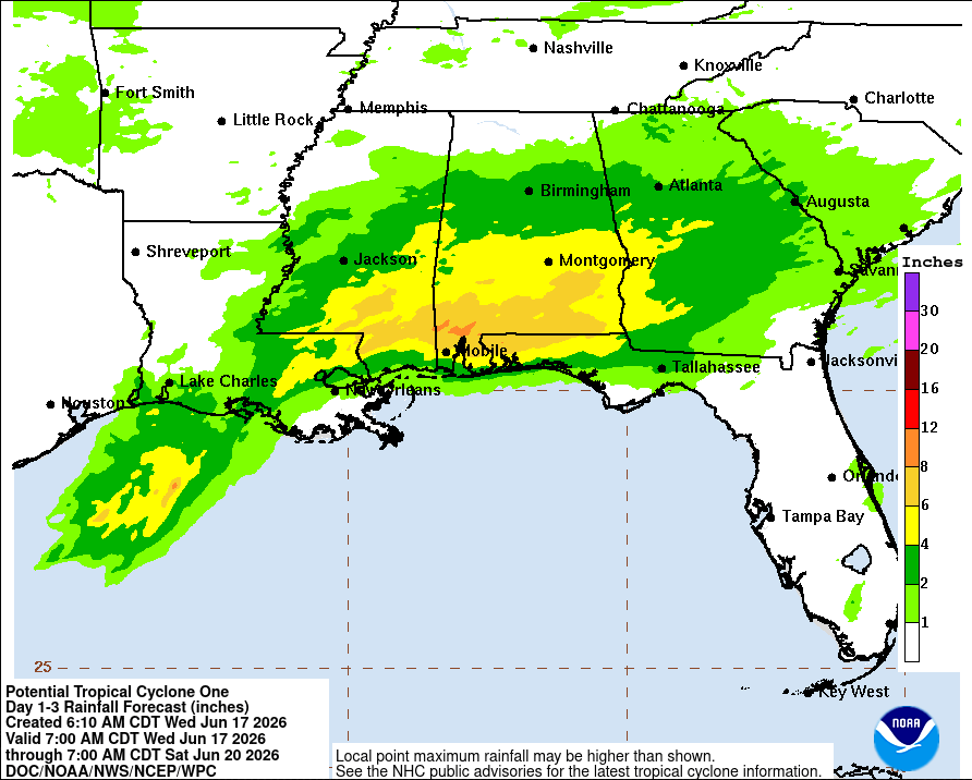
RAINFALL: Tropical Storm Arthur is expected to produce rainfall totals of 5 to 10 inches, with isolated higher totals near 20 inches, through early Friday from the Mid and Upper Texas coast east-northeast into southern and central portions of Louisiana, Mississippi, and Alabama, along with western portions of Georgia and the Florida Panhandle. This could generate dangerous to life-threatening flash flooding. For a complete depiction of forecast rainfall associated with Tropical Storm Arthur,
WIND: Tropical storm conditions are expected within the warning area today. Tropical storm force winds, especially in gusts, are possible within the watch area today.
STORM SURGE: The combination of a dangerous storm surge and the tide will cause normally dry areas near the coast to be flooded by rising waters moving inland from the shoreline. The water could reach the following heights above ground somewhere in the indicated areas if the peak surge occurs at the time of high tide…
Port Bolivar, TX to Morgan City, LA…2-4 ft
The deepest water will occur along the immediate coast near and to the east of the landfall location, where the surge will be accompanied by large and dangerous waves. Surge-related flooding depends on the relative timing of the surge and the tidal cycle, and can vary greatly over short distances.
SURF: Swells generated by Arthur are likely to cause life-threatening surf and rip current conditions along the northwestern Gulf Coast for the next couple of days. Please consult products from your local weather office.
TORNADO: A couple of tornadoes are possible through Thursday from the Upper Texas Coast into southern Louisiana, Mississippi, Alabama, and the western Florida Panhandle.