

Current Snapshot
For all the latest updates visit: DisasterAWARE
1800x1080ec
2
goes18_ir_14E_202609151535_lat20.4-lon-142.4
14E_tracks_latest
151445_earliest_reasonable_toa_34
goes18_ir_15E_202609151535_lat16.2-lon-123.4

15E_tracks_latest
1800x1080e
low
24w
24W_151200sair
24W_tracks_latest
By PDC’s Senior Weather
Specialist Glenn James

The Pacific Disaster Center’s (PDC Global) Tuesday, September 15, 2026, Tropical Cyclone Activity Report…for the Pacific Ocean, the Indian Ocean, and adjacent Seas.
Tropical Cyclones
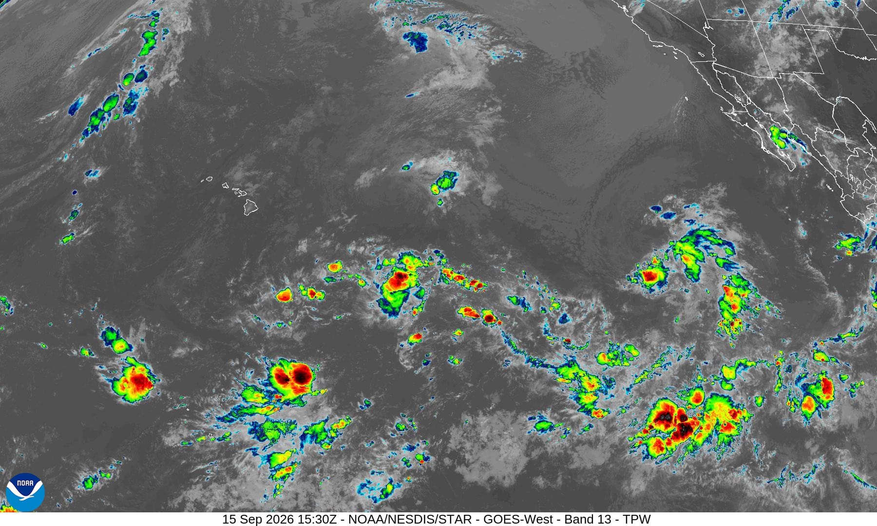
Post-Tropical Cyclone 14E (Norbert) is located about 780 miles east of Hilo, Hawaii – Last Advisory
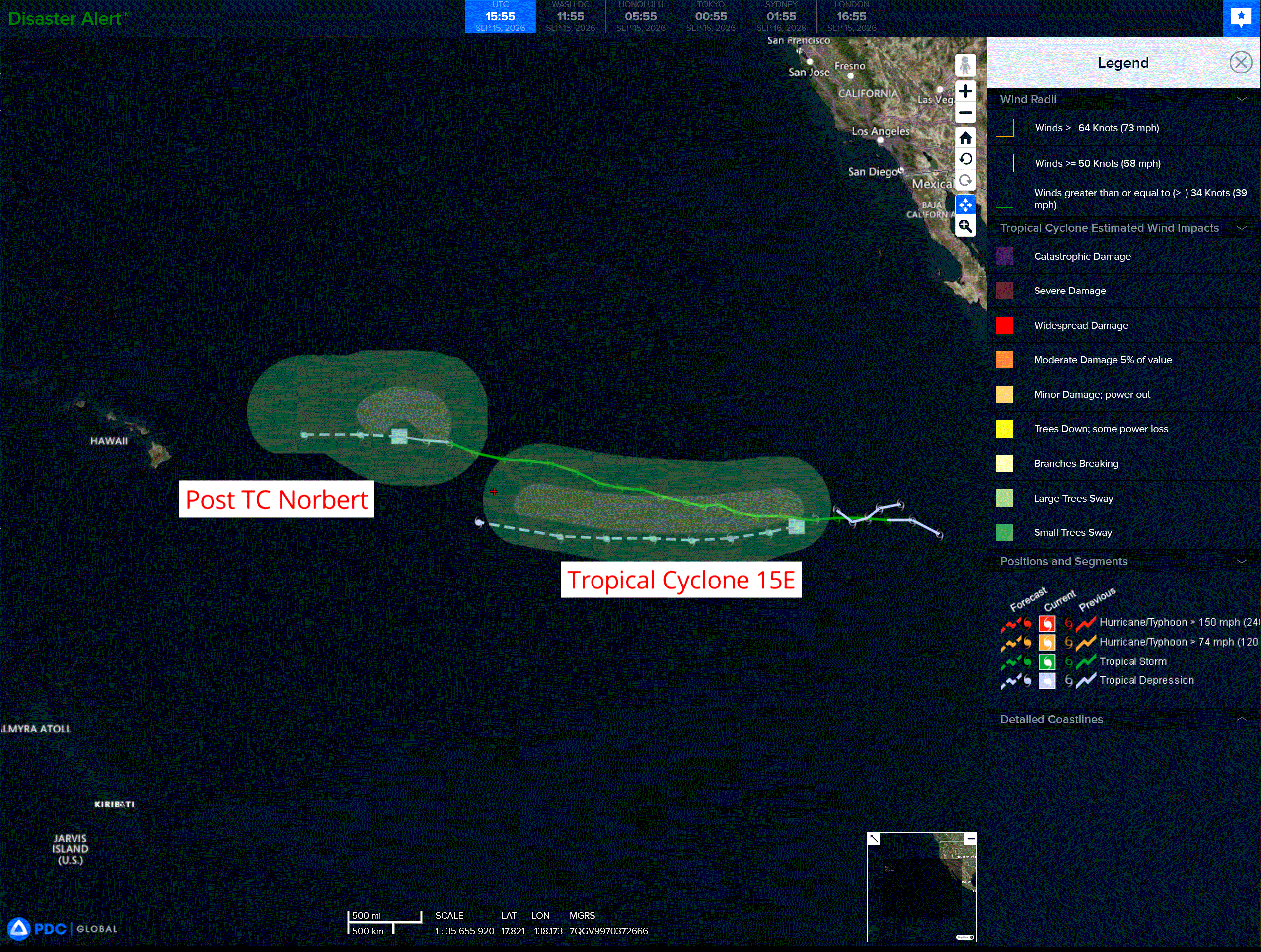
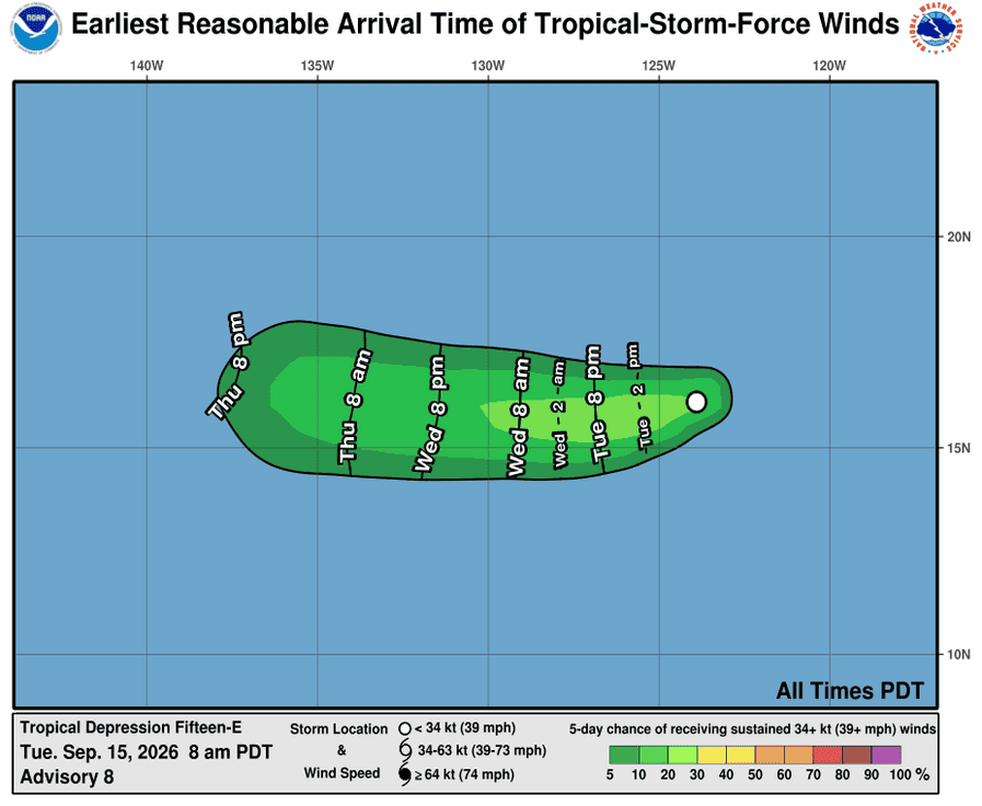
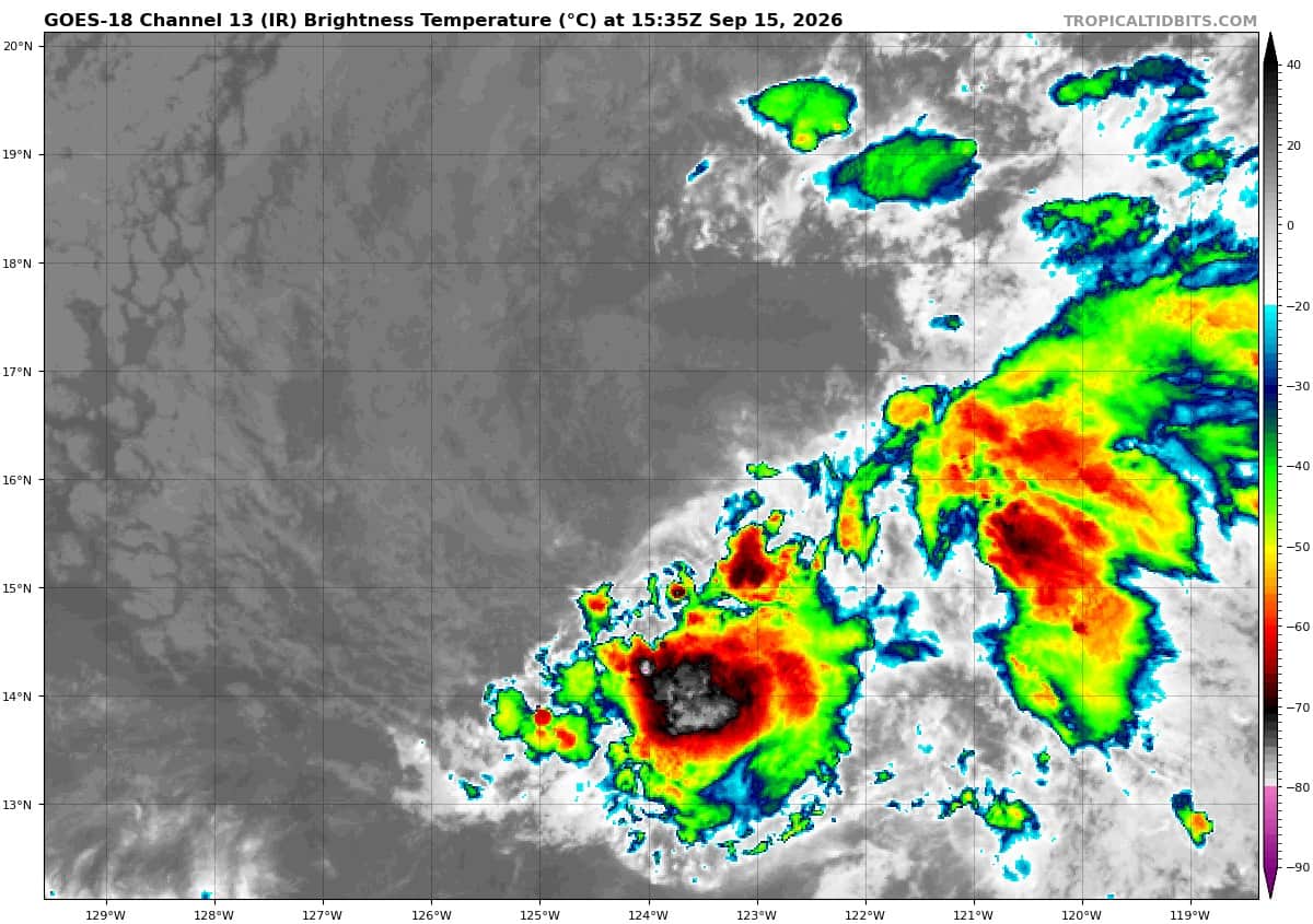
Tropical Cyclone 15E is located about 1025 miles west-southwest of the southern tip of Baja, CA
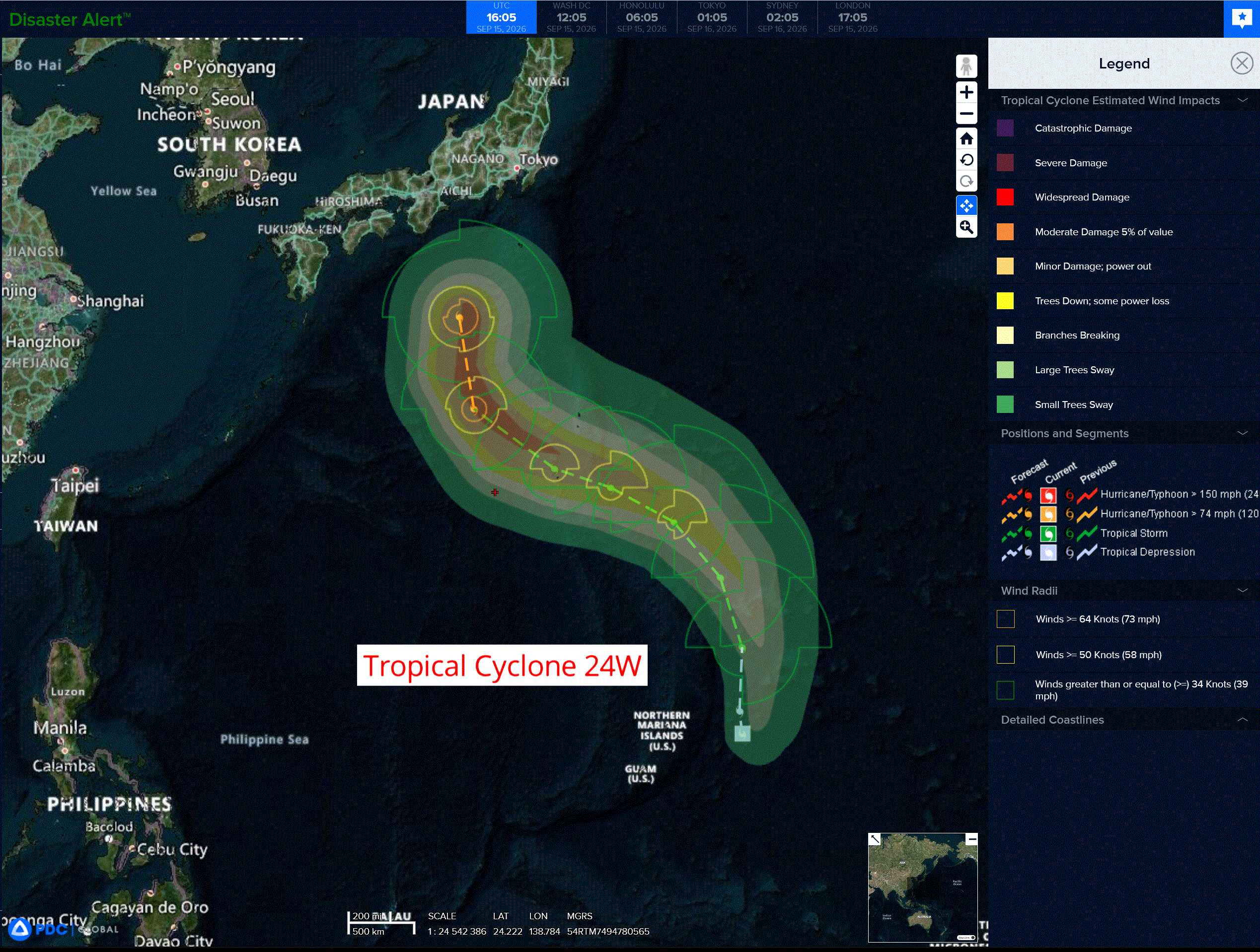
Tropical Cyclone 24W is located about 266 NM east-northeast of Navsta Guam
Northeast Pacific:
Tropical Cyclone 15E
DEPRESSION CONTINUES MOVING WESTWARD
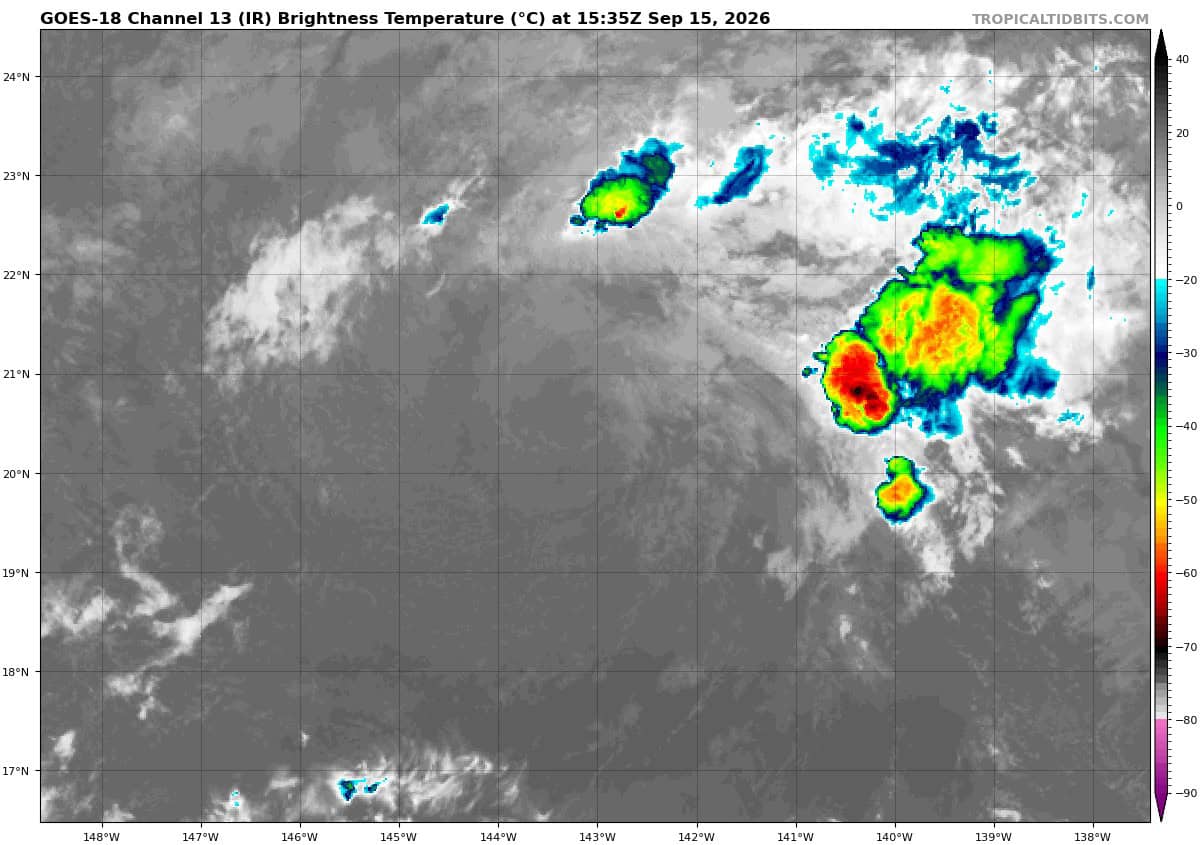
According to the NHC advisory number 8…
The depression is moving toward the west near 12 mph (19 km/h), and this motion is expected to continue for the next few days. Maximum sustained winds are near 35 mph (55 km/h) with higher gusts. Little change in strength is forecast during the next few days. The estimated minimum central pressure is 1005 mb (29.68 inches).
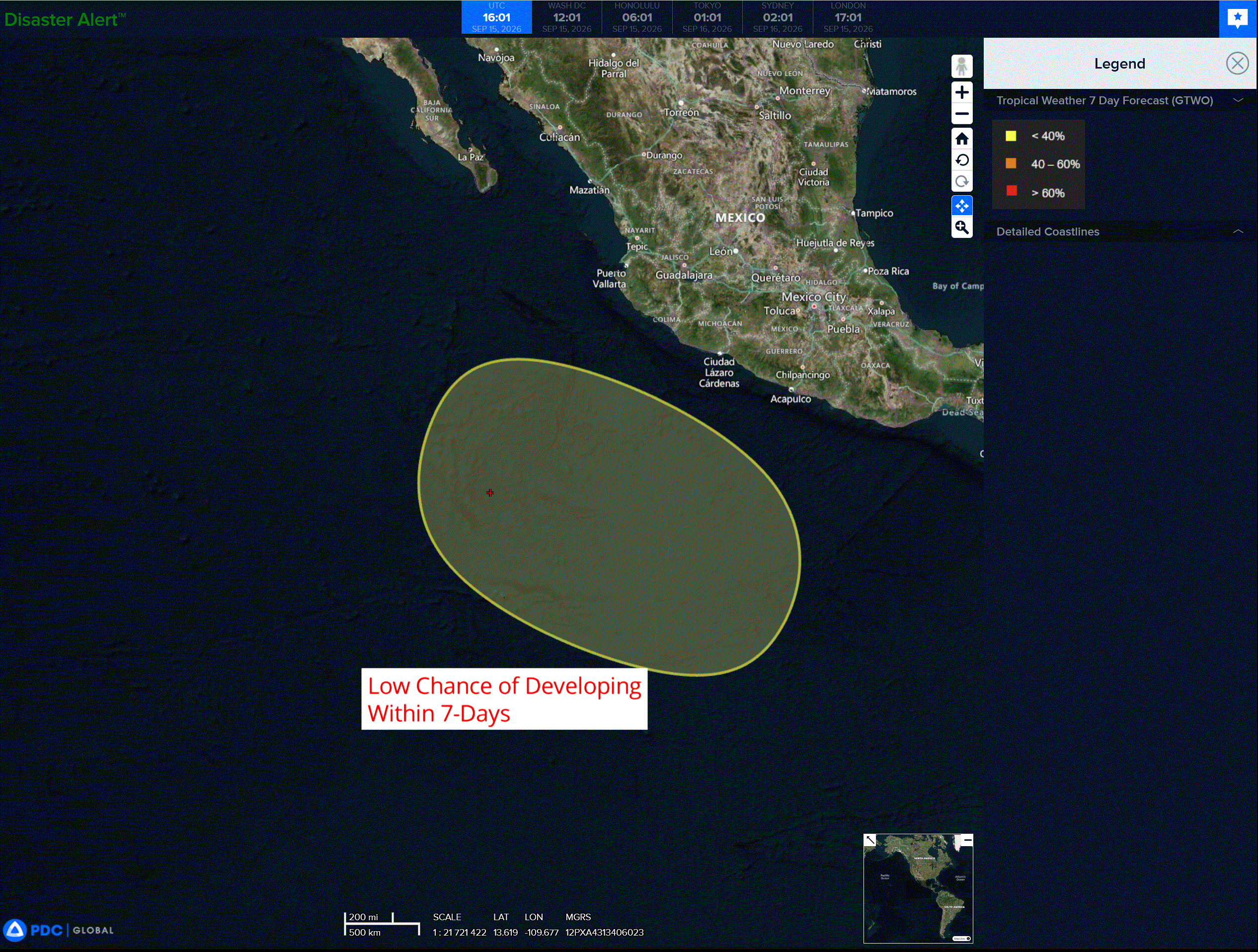
>>> Southwest of Southwestern Mexico:
An area of low pressure could form well offshore of southwestern Mexico by the end of the week or over the weekend. Environmental conditions appear conducive for some gradual development thereafter while the system moves west-northwestward to northwestward at about 10 mph.
* Formation chance through 48 hours…low…near 0 percent
* Formation chance through 7 days…low…30 percent
Central North Pacific:
Post-Tropical Cyclone 14E (Norbert) – Last Advisory
NORBERT IS NOW A REMNANT LOW
According to the NHC advisory number 24…
The post-tropical cyclone is moving toward the west near 13 mph (20 km/h) and this motion is expected to continue during the next day or so. Maximum sustained winds are near 35 mph (55 km/h) with higher gusts. Gradual weakening is forecast, and the remnant low is expected to dissipate on Wednesday. The estimated minimum central pressure is 1007 mb (29.74 inches).
Western Pacific, Indian Ocean, and adjacent Seas:
Western Pacific
Tropical Cyclone 24W
According to the JTWC warning number 1
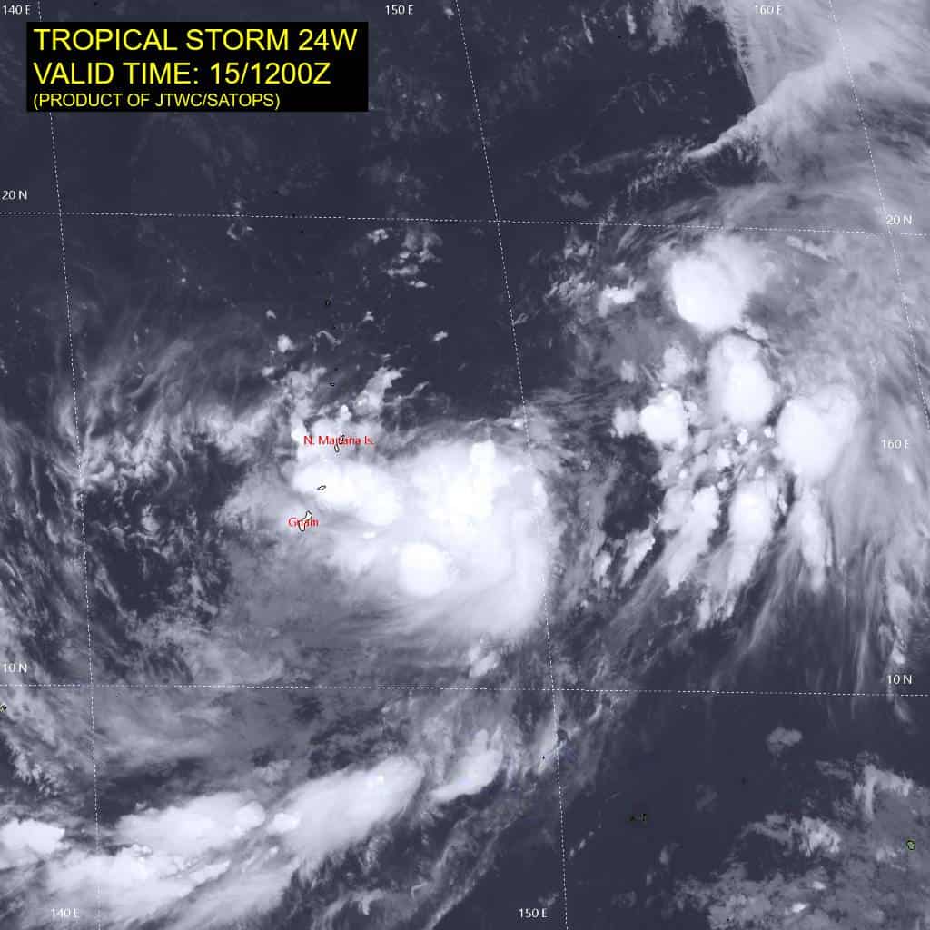
Animated enhanced infrared (eir) satellite imagery depicts a consolidating low-level circulation center (llcc) currently fully obscured by persistent convection to the southwest. While the llcc remains elongated along the northeast-southwest axis, a recent 151025z metop-b ascat pass revealed tightening curvature tucking under developing deep convection.
A broad area of dry air to the north and northwest is slowing down development, while other environmental parameters are favorable for intensification – sea surface temperatures (sst) are warm (29-30 c) and poleward upper-level outflow is strong, driven by an upper-level low to the northeast. Additionally, vertical wind shear (vws) is low (10-15 kts) over the llcc.
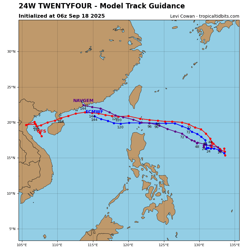
TD 24W is forecast to slowly track northward, driven primarily by weak influence from the north-south oriented ridging to the east of the system. Within the next 24-36 hours, this extension will recede, while the subtropical ridge (str) centered to the north-northeast assumes primary steering. As a result, TD 24W will begin turning northwestward while slowly intensifying.
A peak intensity of 70-75 kts is expected to be attained between 96 and 120 hours. Around the same time, the system will turn northward and begin its recurvature around the axis of the str. Intensification is expected to be gradual, as a result of generally favorable environmental parameters. The main hindrances to significant development are the potential for continuous dry-air entrainment and
the initial lack of wind field symmetry.
A strong poleward outflow channel is expected to remain in place until at least 48 hours. After that, the system will begin to distance itself from the favorable exhaust mechanism. Around 96 hours, however, another poleward channel will open as the system approaches the baroclinic zone and the associated jet stream.