

Current Snapshot
For all the latest updates visit: DisasterAWARE

1800×1080
low1
7
95P
goes18_ir_95P_202611131545_lat-9.6-lon-158.4
95P_tracks_latest
95b
meteosat9_ir_92B_202611131551_lat6.5-lon87.9
92B_tracks_latest
By PDC’s Senior Weather
Specialist Glenn James

The Pacific Disaster Center’s (PDC Global) Friday, November 13, 2026, Tropical Cyclone Activity Report…for the Pacific Ocean, the Indian Ocean, and adjacent Seas.
Tropical Cyclones
There are no Tropical Cyclones
Northeast Pacific: There are no Tropical Cyclones
Central North Pacific: There are no Tropical Cyclones
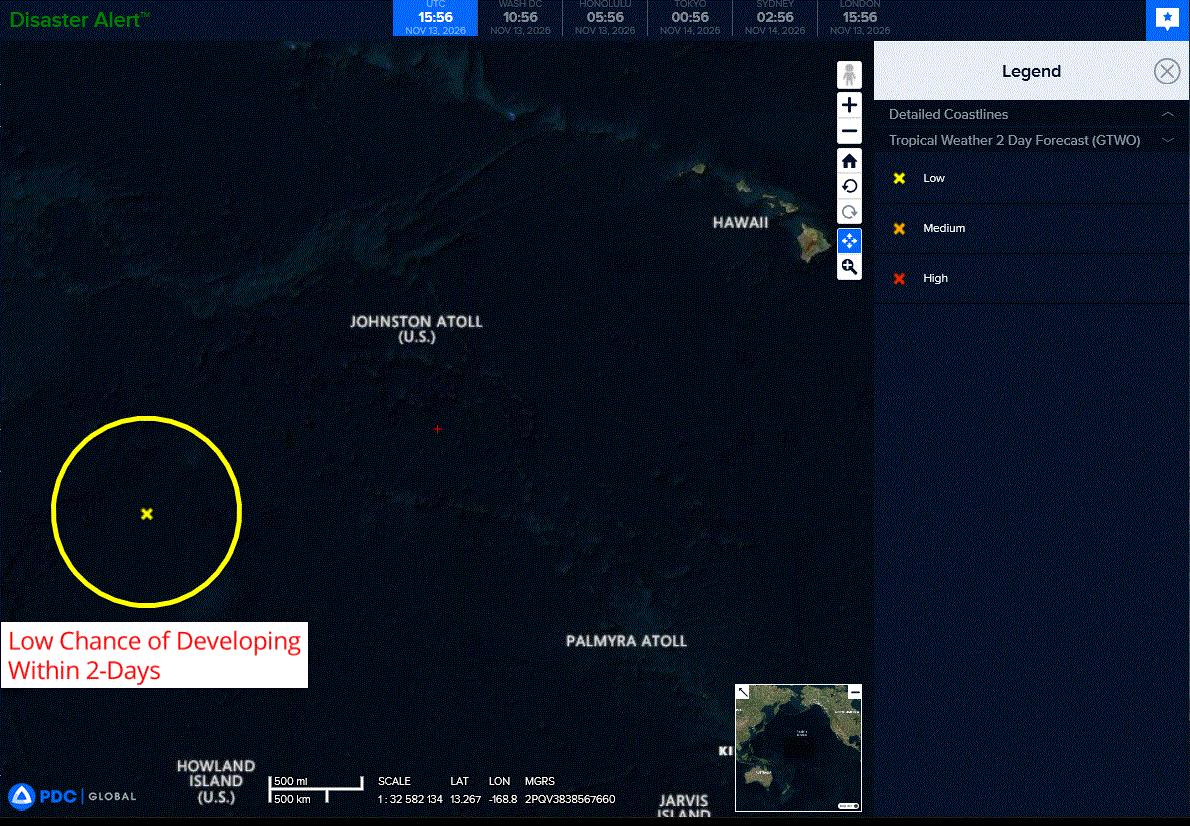
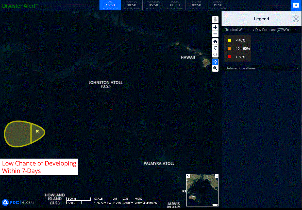
>>> Well West-Southwest of the Hawaiian Islands (Remnants of Pena):
Showers and thunderstorms remain disorganized in association with the remnants of Pena.
In addition, the system still lacks a well-defined circulation, and environmental conditions are only marginally conducive for redevelopment.
The system is expected to continue moving westward, crossing the International Date Line later today.
* Formation chance through 48 hours…low…10 percent
* Formation chance through 7 days…low…10 percent
Western Pacific, Indian Ocean, and adjacent Seas: There are no Tropical Cyclones
Southwestern Pacific
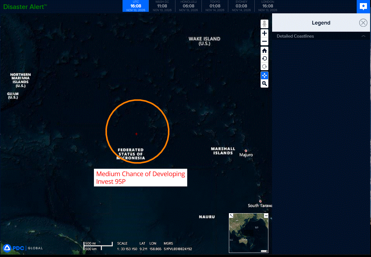
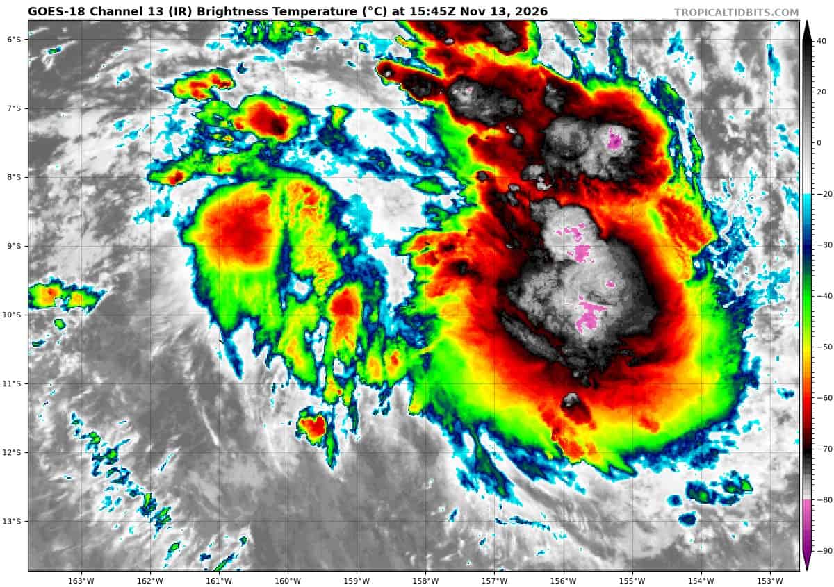
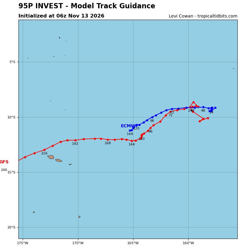
>>> There’s an area of disturbed weather that is being referred to as Invest 95P, which is located approximately 760 NM east-northeast of Pago Pago
Animated enhanced infrared satellite imagery (eir) depicts 95B with a broad, low-level circulation center becoming better organized. a 130615z f16 ssmis 91 ghz showed improved convective banding along the eastern periphery of the circulation. A 130838z metop-c ascat pass revealed 20-25 knot winds within the southern semicircle and an ill-defined northwestern quadrant.
Environmental analysis of the area indicates a favorable area for
development with warm sea surface temperatures (28-29 c), low vertical wind shear (10-15 kts), abundant moisture within the area, and strong poleward outflow aloft.
Global deterministic and ensemble models agree on further consolidation of 95P as the system slowly transits southwestward.
Maximum sustained surface winds are estimated at 23 to 28 knots.
Minimum sea level pressure is estimated to be near 1007 mb.
The potential for the development of a significant tropical cyclone within the next 24 hours is upgraded to medium.
North Indian Ocean
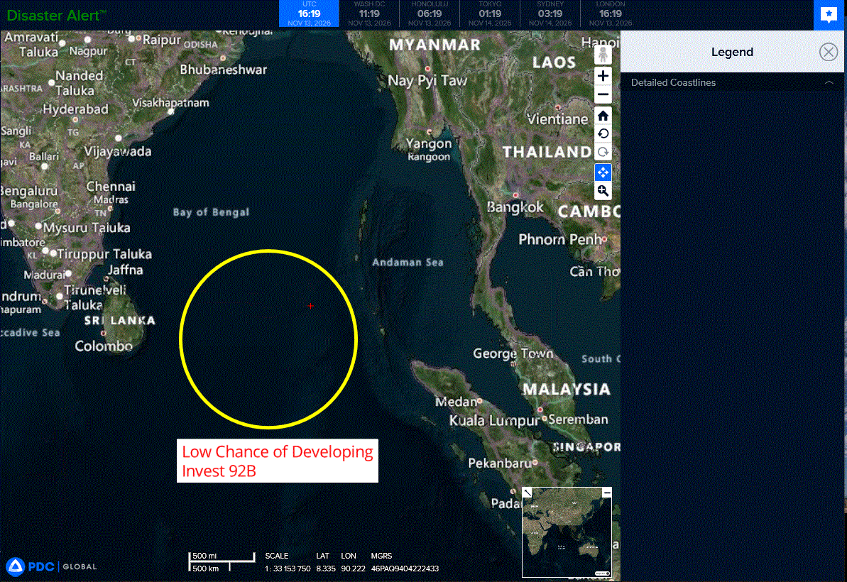
>>> There’s an area of disturbed weather that is being referred to as Invest 92B, which is located approximately 597 NM southeast of Chennai, India
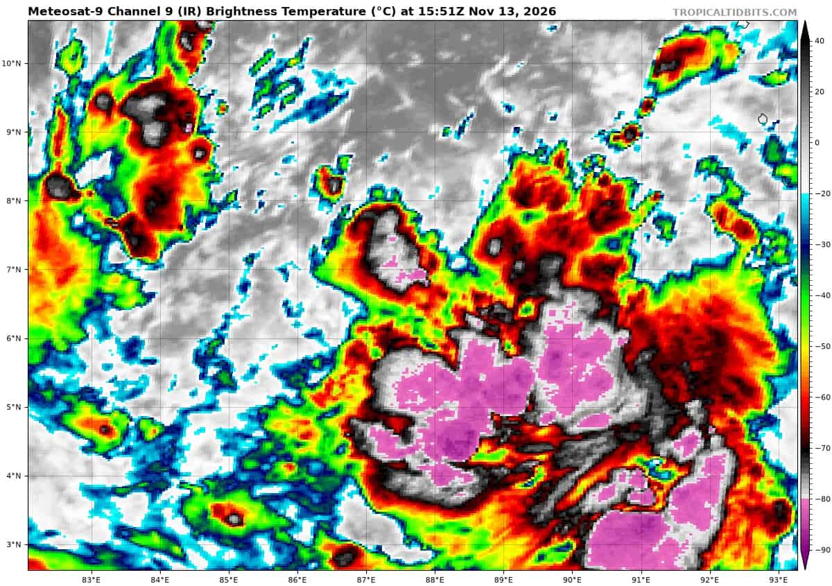
Animated enhanced infrared satellite imagery depicts invest 92B with a broad low-level circulation center (llcc) and flaring convection throughout the southern periphery.
Environmental analysis indicates a favorable environment for
development with low (10-15 kts) vertical wind shear, moderate radial outflow aloft, and warm sea surface temperatures (29-30c).
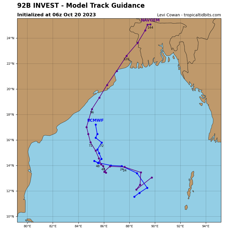
Global deterministic and ensemble models depict gradual development over the next 48 hours as the system transits northwestward.
Maximum sustained surface winds are estimated at 23 to 28 knots.
Minimum sea level pressure is estimated to be near 1008 mb.
The potential for the development of a significant tropical cyclone within the next 24 hours remains low.
South Indian Ocean
>>> There’s an area of disturbed weather that is being referred to as Invest 96S, which is located approximately 909 NM northeast of Diego Garcia
Animated enhanced infrared satellite imagery depicts invest 96S embedded within a sharp troughing region with a strong westerly wind burst along the equator just to the north. A 131232z wsfm 89 ghz microwave image showed signs of southerly winds beginning to wrap into the system in the western periphery.
Environmental analysis indicates that 96S is in a marginally favorable environment characterized by moderate poleward outflow aloft, moderate to high (20-25 kts) northeasterly shear, and warm (29-30 c) sea surface temperatures.
Global models agree on 96S tracking generally eastward, however, they disagree on the amount of development. The ecmwf deterministic model has started showing quick consolidation over the next 24 hours, while gfs takes much longer. Additionally, various ensemble models show only a handful of members that reach tropical cyclone strength.
Maximum sustained surface winds are estimated at 23 to 28 knots.
Minimum sea level pressure is estimated to be near 1009 mb.
The potential for the development of a significant tropical cyclone within the next 24 hours is low.