
")
Current Snapshot
For all the latest updates visit: DisasterAWARE
e
c
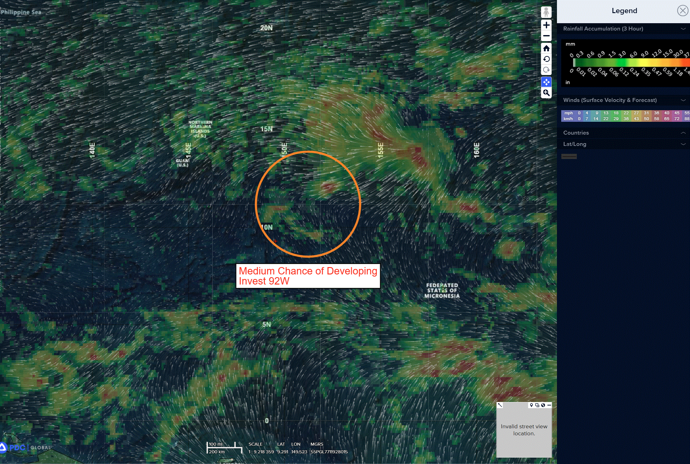
92w
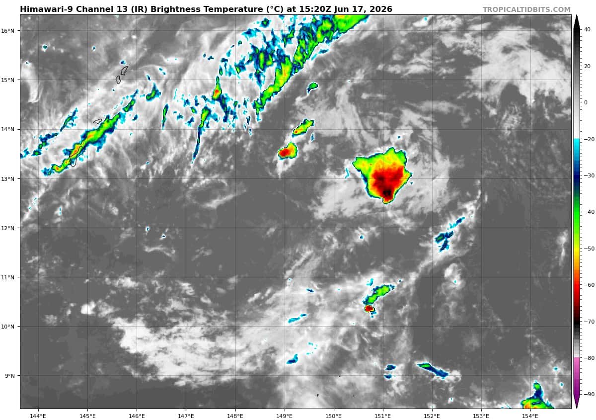
himawari9_ir_92W_202606171520_lat12.2-lon149.7
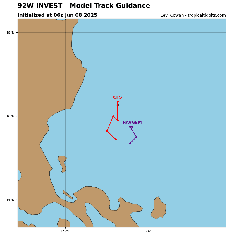
92W_tracks_latest
By PDC’s Senior Weather
Specialist Glenn James

The Pacific Disaster Center’s (PDC Global) Wednesday, June 17, 2026, Tropical Cyclone Activity Report…for the Pacific Ocean, the Indian Ocean, and adjacent Seas
Current Tropical Cyclones:
There are no Tropical Cyclones
Northeast Pacific Ocean: There are no Tropical Cyclones
Tropical cyclone formation is not expected during the next 7 days.
Central Pacific Ocean: There are no Tropical Cyclones
Tropical cyclone formation is not expected during the next 7 days.
Western Pacific, Indian Ocean, and adjacent Seas: There are no Tropical Cyclones
Western Pacific
>>> There’s an area of disturbed weather being referred to as Invest 92W, which is located approximately 417 NM east-southeast of Guam
Animated enhanced multi-spectral satellite imagery (eir) depicts broad cyclonic turning associated with invest 92W, accompanied by intermittent flaring convection. The system remains poorly organized, with an ill-defined low-level circulation center (llcc) that may instead represent the cusp of a low-level wave.
Environmental analysis for the area indicates conditions favorable for development, with low vertical wind shear (10-15 knots), moderate
poleward outflow aloft, and warm sea surface temperatures (29-30 c). As the system is currently weak and disorganized, the pace of development will likely be slow in the near term.
Deterministic models are consistent with this assessment, showing very gradual development over the next 48 hours, and are split on whether a tropical cyclone will form by that time. Global models agree on a generally west-northwestward track, taking the system into the vicinity of the southern Mariana Islands. The exact track will depend on where a well-defined llcc ultimately consolidates.
Maximum sustained surface winds are estimated at 18 to 23 knots.
The potential for the development of a significant tropical cyclone within the next 24 hours remains medium.