
")
Current Snapshot
For all the latest updates visit: DisasterAWARE
e
c
07W_181800sair

07W_tracks_latest
By PDC’s Senior Weather
Specialist Glenn James

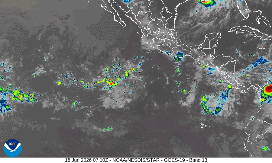
The Pacific Disaster Center’s (PDC Global) Thursday, June 18, 2026, Tropical Cyclone Activity Report…for the Pacific Ocean, the Indian Ocean, and adjacent Seas
Current Tropical Cyclones:
Tropical Cyclone 07W…is located 116 NM west-southwest of Andersen AFB
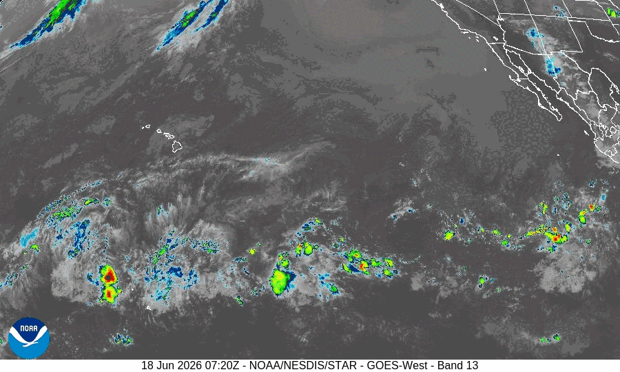
Northeast Pacific Ocean: There are no Tropical Cyclones
Tropical cyclone formation is not expected during the next 7 days.
Central Pacific Ocean: There are no Tropical Cyclones
Tropical cyclone formation is not expected during the next 7 days.
Western Pacific, Indian Ocean, and adjacent Seas: There are no Tropical Cyclones
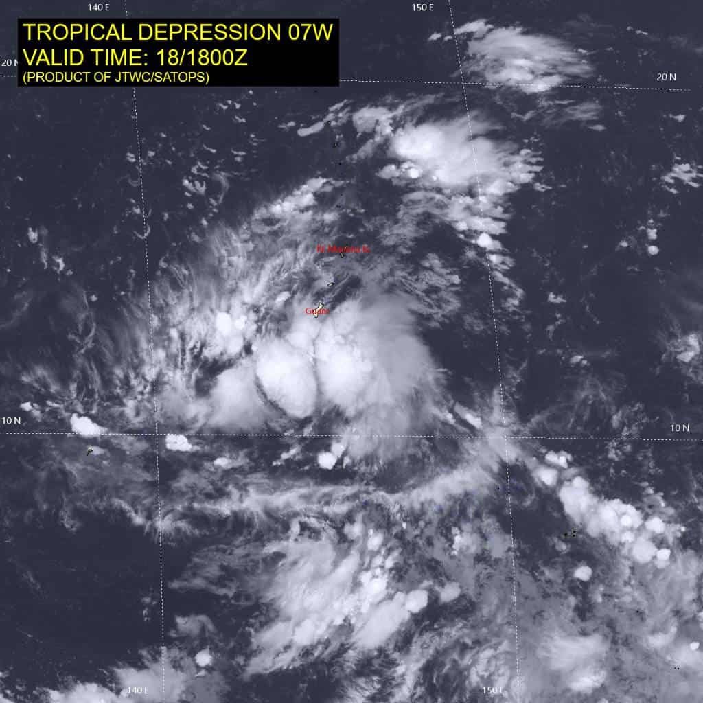
Tropical Cyclone 07W
According to the JTWC Warning number 2…sustained winds are 30 knots with gusts to 40
Animated enhanced infrared (eir) satellite imagery depicts a consolidating, compact circulation with sustained deep convection over the low level circulation center (llcc), a marked improvement over the past 18 hours. The llcc is elongated and asymmetric, with the highest winds clipping the southern Mariana Islands and very weak westerlies in the southern semicircle.
07W exhibits moderate radial outflow and is in a highly conducive environment for development characterized by low vertical wind shear (vws), strong divergence aloft, very high sea surface temperatures (sst) and ocean heat content (ohc), and moderate deep layer moisture observed
in the 181200z Guam sounding from NWS Tiyan. An 181430z oscat-3 image depicted 25-30 kts within the northern periphery of the llcc.
07W is being steered westward by an extension of the low- to mid-level str. the system will gain latitude on a sustained west-northwestward trajectory as it deepens and becomes driven by the deep-layer subtropical ridge (str) to the north. At the end of the forecast period, a strong ridge will build over the South China Sea. When 07W encounters this ridge, it will slow down and turn poleward into a weakness of the str.
The environment will be highly favorable for intensification for the first 72-96 hours. The compact system will traverse over very warm waters of 30-31 degree celsius with low vws. Initially, the forecast calls for slow to steady development due to the disorganized structure of the circulation. At 36 hours, the compact inner core should become well-formed, allowing for 07W to intensify very rapidly. In fact, the system is predicted to intensify at a rate of 50 kts in 24 hours, reaching a peak of at least 120 kts at 96 hours.
It is quite possible that 07W could intensify faster and peak higher than depicted by the forecast. At the end of the period, the slower
track speed will induce upwelling of cooler sub-surface waters and cause 07W to weaken.