

Current Snapshot
For all the latest updates visit: DisasterAWARE

1800x1080e
93e2
7
goes19_ir_94E_202610201415_lat10.0-lon-95.3

94E_tracks_latest
1800x1080ec
10
champi
29W_201200sair
29W_tracks_latest
02s
02S_200600sair
02S_tracks_latest
By PDC’s Senior Weather
Specialist Glenn James

The Pacific Disaster Center’s (PDC Global) Tuesday, October 20, 2026, Tropical Cyclone Activity Report…for the Pacific Ocean, the Indian Ocean, and adjacent Seas.
Tropical Cyclones
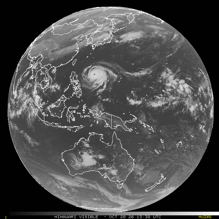
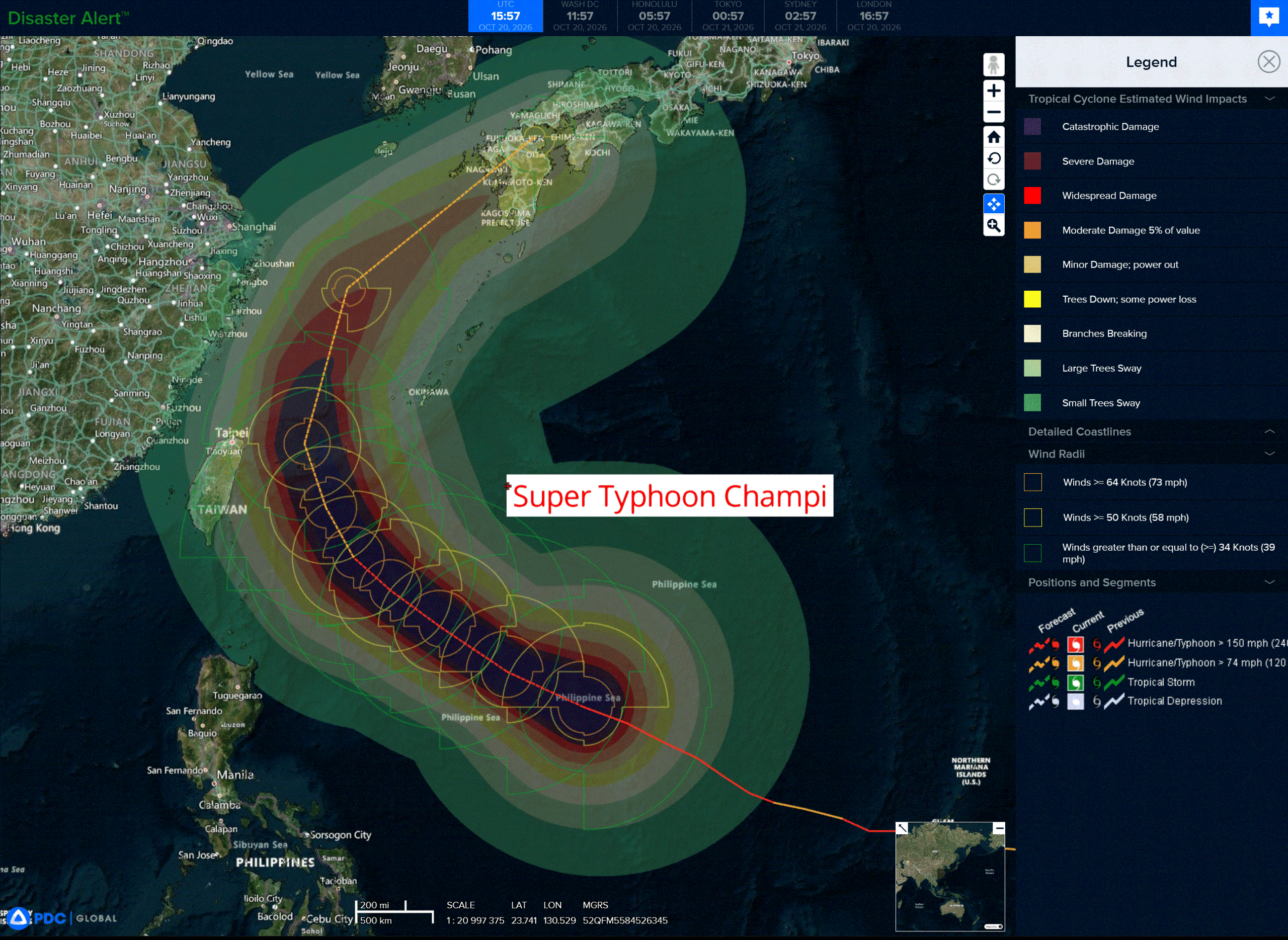
Tropical Cyclone 29W (Champi) is located approximately 639 NM south-southeast of Kadena AB
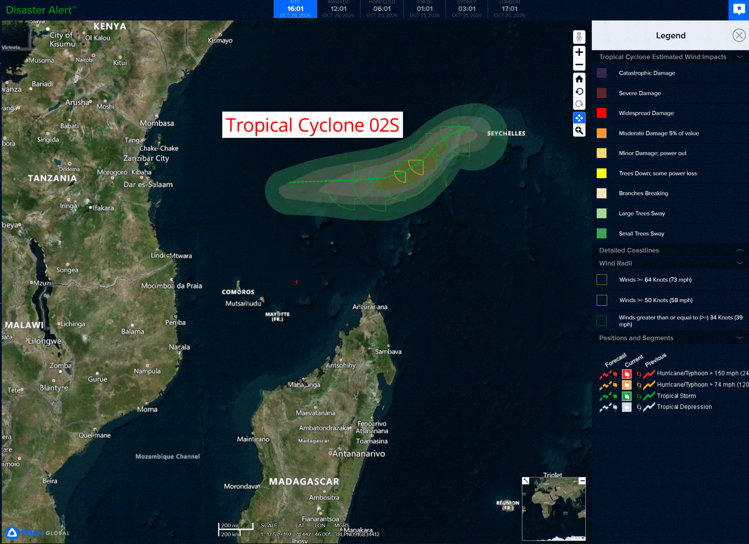
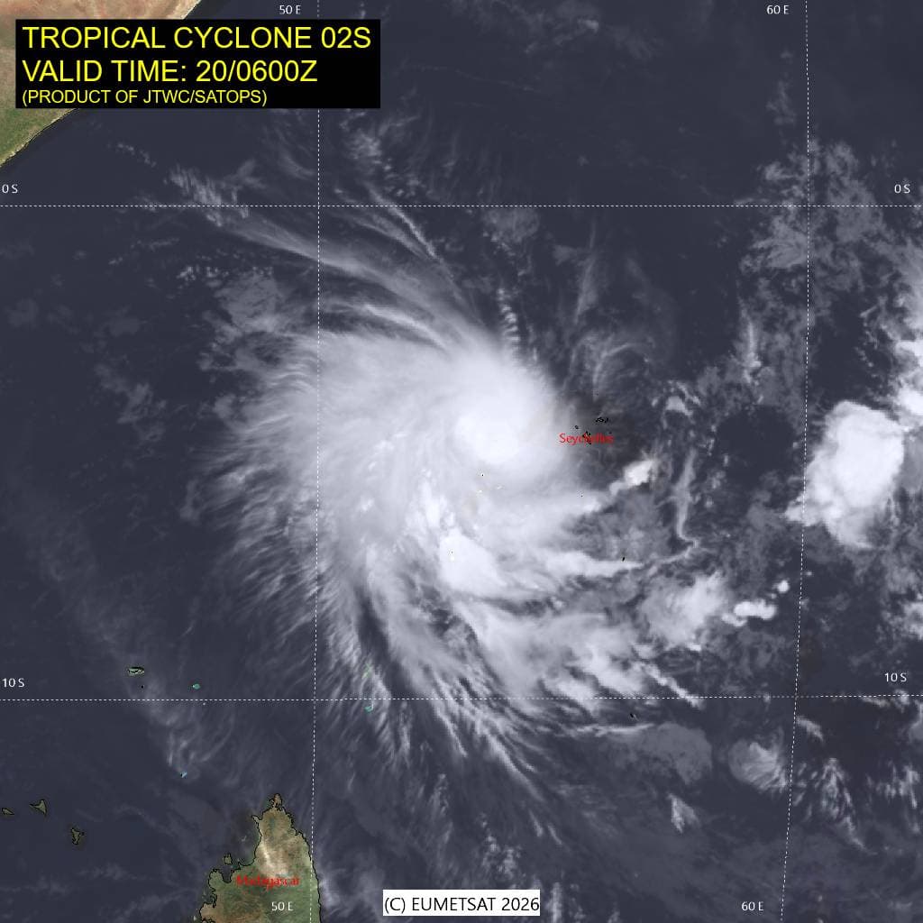
Tropical Cyclone 02S is located approximately 877 NM east of Dar Es Salaam, Tanzania
Northeast Pacific:
>>> South of Southern Mexico:
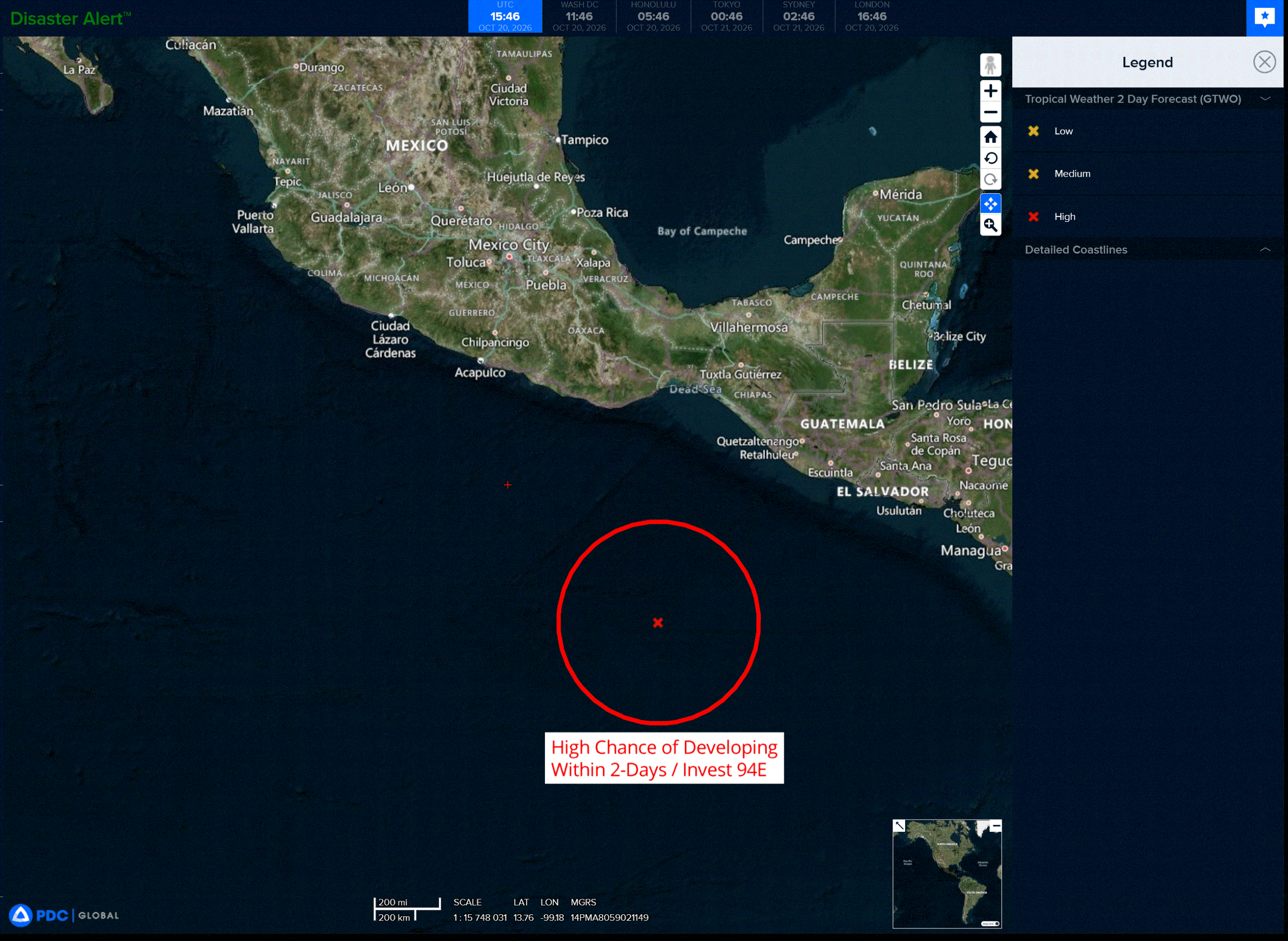
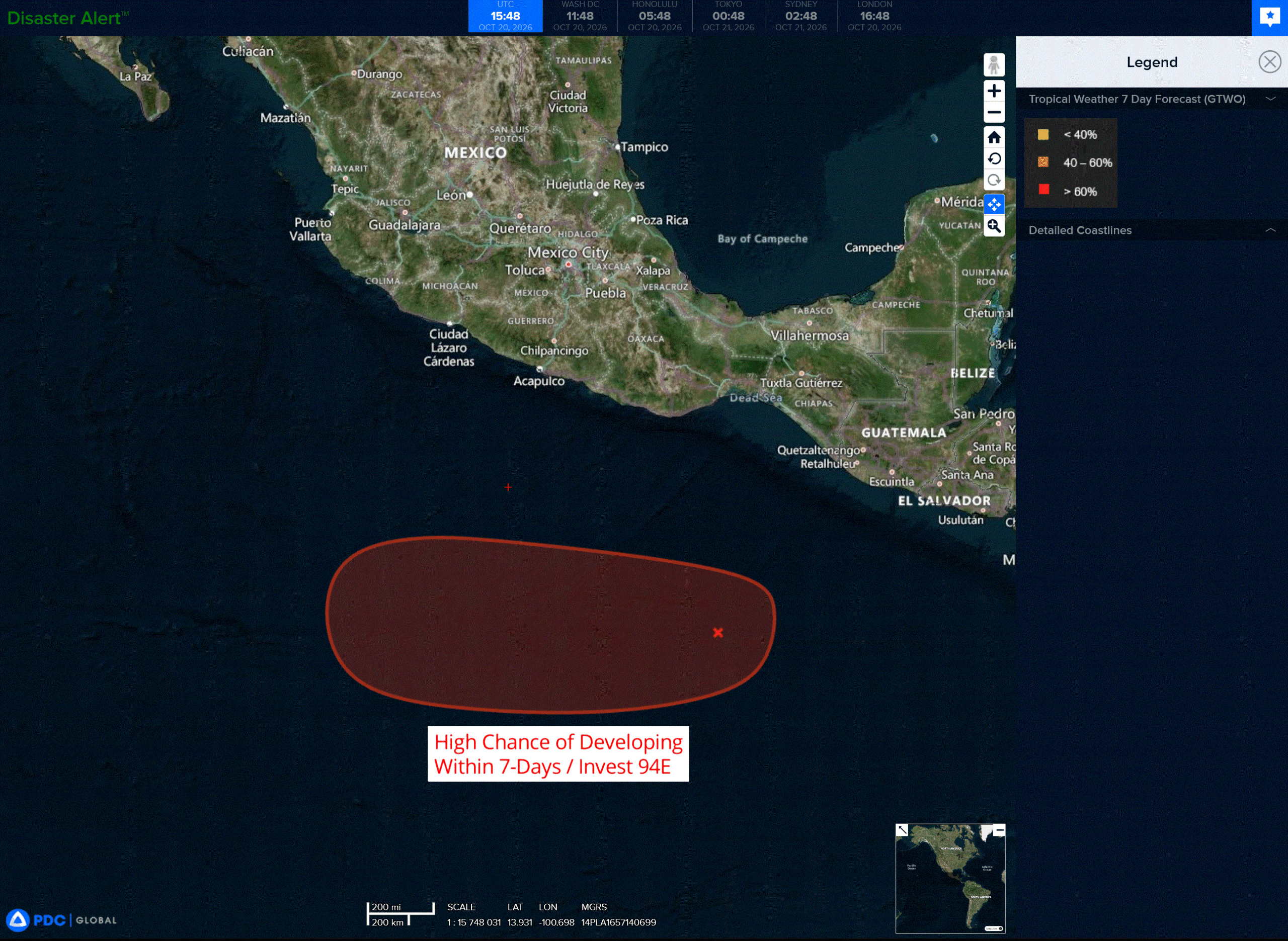
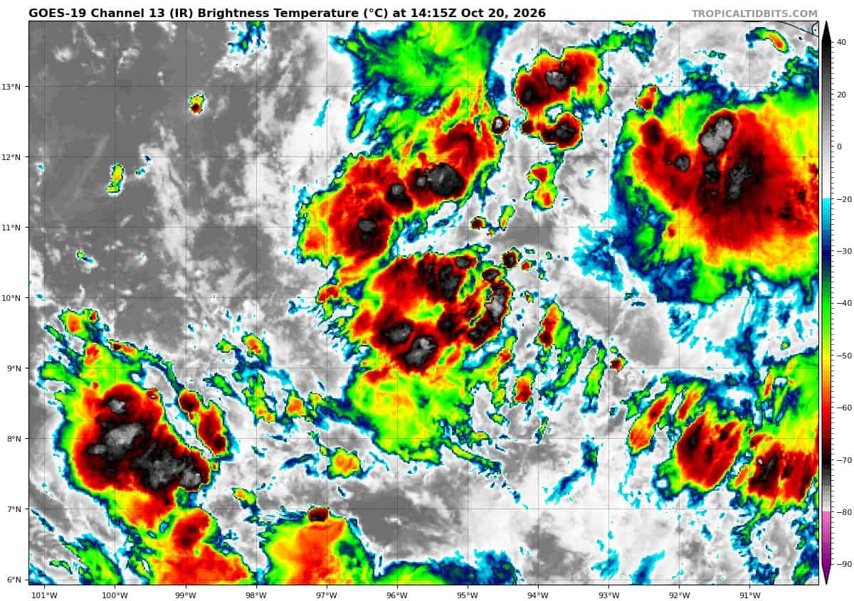
Invest 94E
A low-pressure system located a few hundred miles south of the Gulf of Tehuantepec is producing a large area of showers and thunderstorms that are gradually becoming better organized, and a tropical depression is forecast to form during the next day or so.
This system is expected to move westward to west-northwestward at around 10 mph during the next few days, remaining well offshore of southern Mexico.
* Formation chance through 48 hours…high…90 percent
* Formation chance through 7 days…high…90 percent
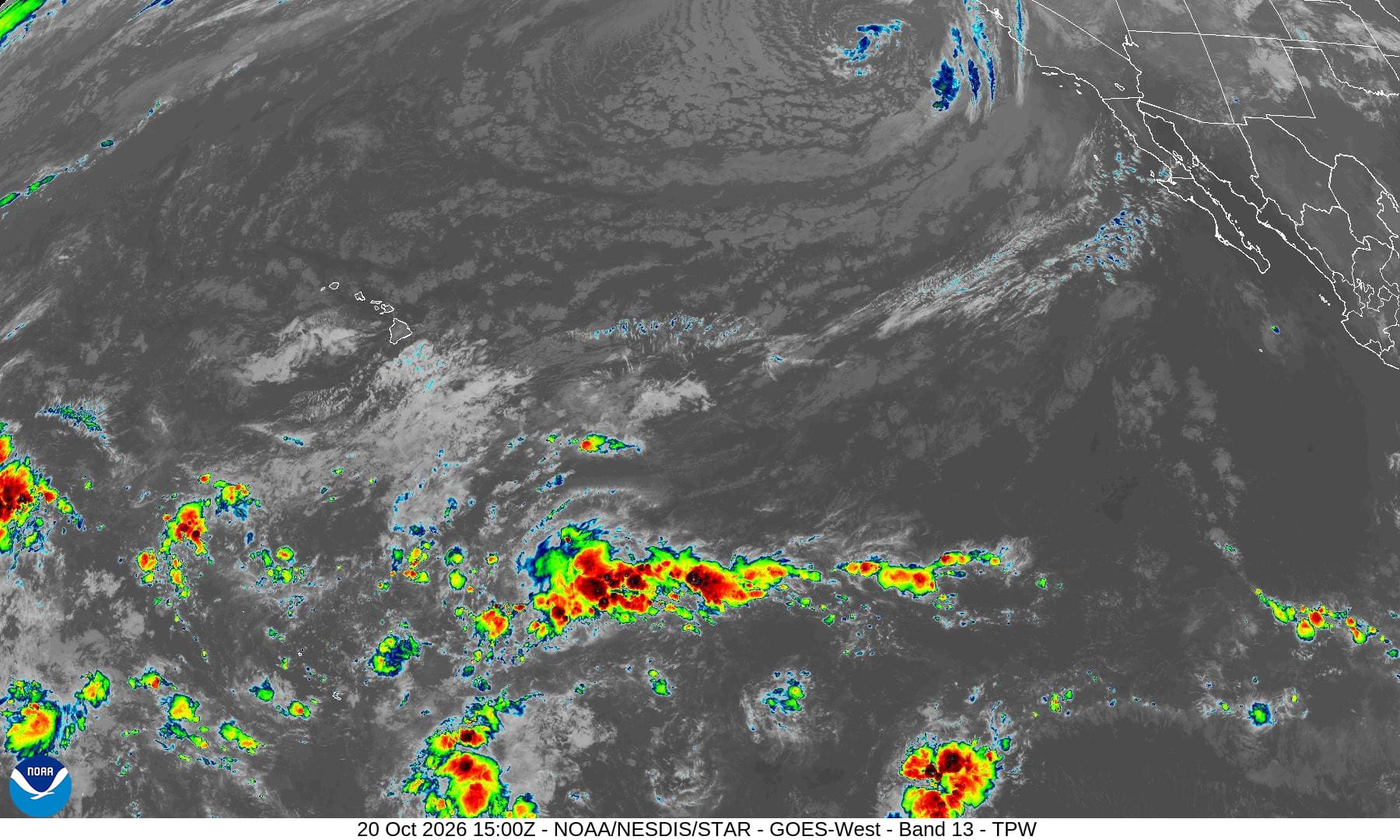
Central North Pacific: There are no Tropical Cyclones
Tropical cyclone formation is not expected during the next 7 days.
Western Pacific, Indian Ocean, and adjacent Seas:
Western Pacific
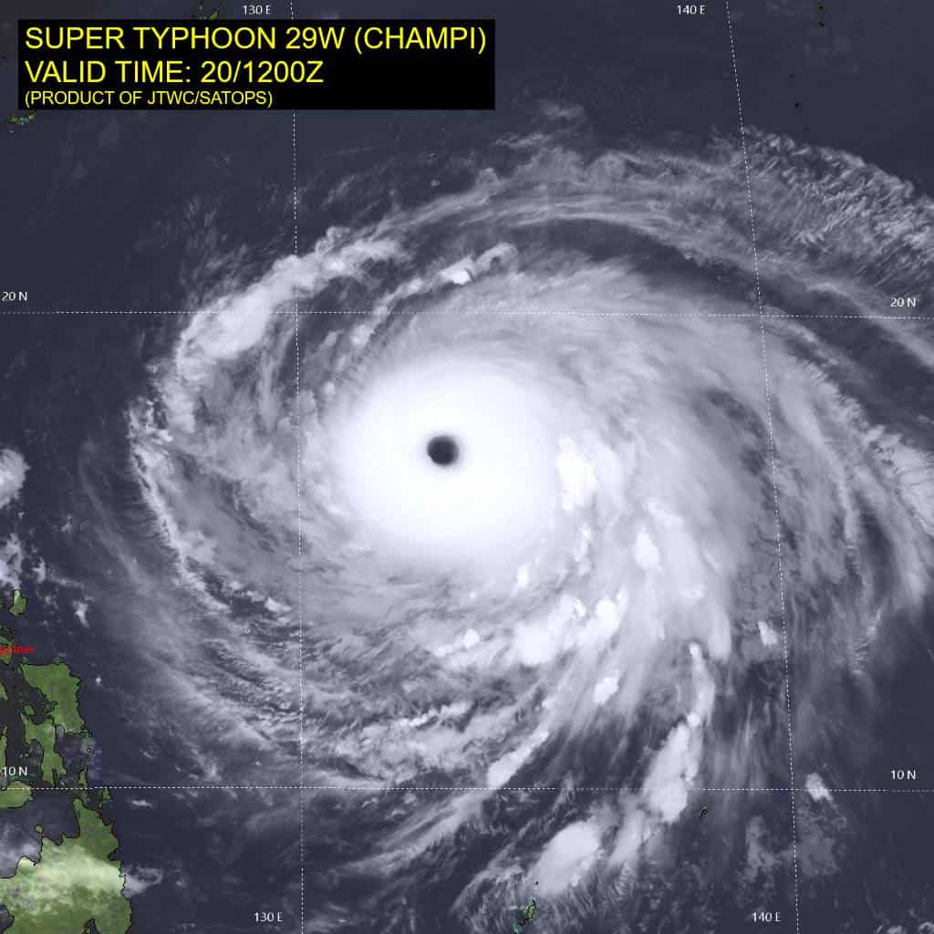
Tropical Cyclone 29W (Champi)
According to the JTWC warning number 25…sustained winds were 155 knots with gusts to 190 knots
Super typhoon (sty) 29W maintains a circular, well-defined eye embedded in a nearly symmetric central dense overcast with excellent ventilation in all directions and flaring convection on the far outer periphery of the circulation. Animated enhanced infrared (eir) satellite imagery depicts a 30-nm-wide eye as warm as +22 degrees celsius surrounded by very cold cloud top temperatures of -80 to -83 degrees celsius. BD-curve-enhanced imagery depicts a sustained thick ring of the cold-medium-gray shade and even some cold-dark-gray shades surrounding the eye. A 200853z wsf-m mwi pass reveals a solid eyewall surrounded by siral rainbands. Coincident sar passes around 200910z by rcm-3 and sentinel-1d depict a narrow area of low emissivity between an inner ring of extreme winds and the eyewall, suggesting that the radius of maximum winds is near 15 nm. Tthis structure is confined to within 30 nm of the storm center, is not indicative of double eyewalls, and may instead be induced by mesovortices within the eye.
STY 29W remains in a highly favorable environment of very warm sea surface temperature (sst) of 30-31 degrees celsius, very high ocean heat content of 150 kj per cm2, and low vertical wind shear (vws).
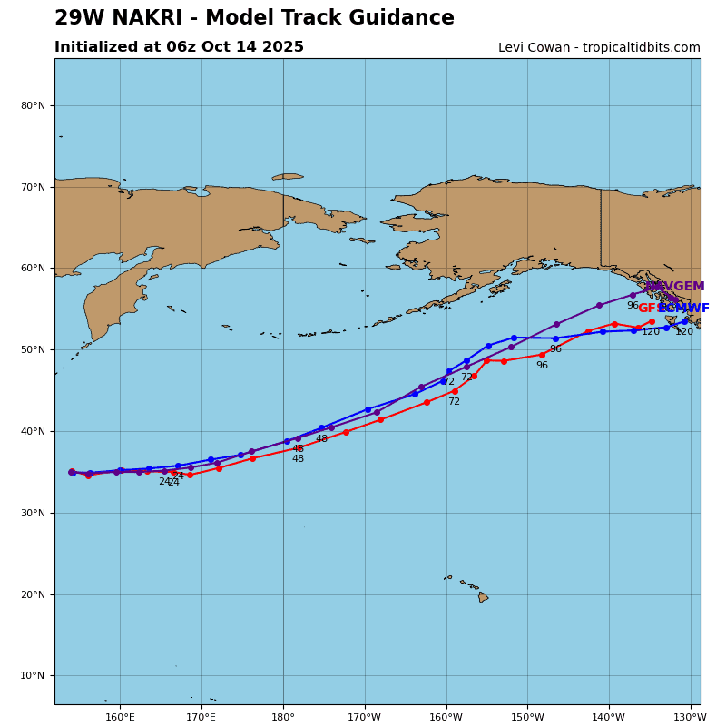
STY 29W is moving northwestward along the southern periphery of a deep-layer str positioned south of Honshu. By 24 hours, a sharp mid-level trough will pass over the Korean Peninsula and approach Honshu, eroding the western extension of the str and building the ridge eastward. This pattern will lead to a weakness in the str, allowing sty 29W to turn poleward. The system will cross the str axis after 72 hours and begin to accelerate northeastward toward Kyushu. With eye and cloud-top temperatures holding steady over the past few hours, the tropical cyclone is likely at or near peak intensity.
While low vws will prevail through 72 hours, sty 29W will traverse an area of much lower ohc near 60 kj per cm2 after 24 hours, leading to a weakening trend. From 60 to just after 72 hours, the system will move over a patch of higher ohc near Taiwan, which will briefly lessen the rate of weakening. Steady weakening will resume thereafter due to lower ohc and increasing vws. By 120 hours, the system will enter a stronger
baroclinic environment and move beneath the southern periphery of the jet stream. Consequently, extratropical transition will begin.
South Indian Ocean
Tropical Cyclone 02S
According to the JTWC warning number 1…sustained winds were 35 knots with gusts to 45 knots
Animated multi-spectral satellite imagery (msi) depicts a compact circulation with the low-level circulation center (llcc) partially obscured by a ragged central dense overcast (cdo). Curved banding extends westward and southward from the center. A 200545z ascat-b image revealed a well-defined llcc with gale-force winds in the southwest quadrant.
The environment is generally favorable, characterized by low to moderate northeasterly vertical wind shear
(vws), moderate westward upper-level divergence, and warm sea surface temperatures (sst).
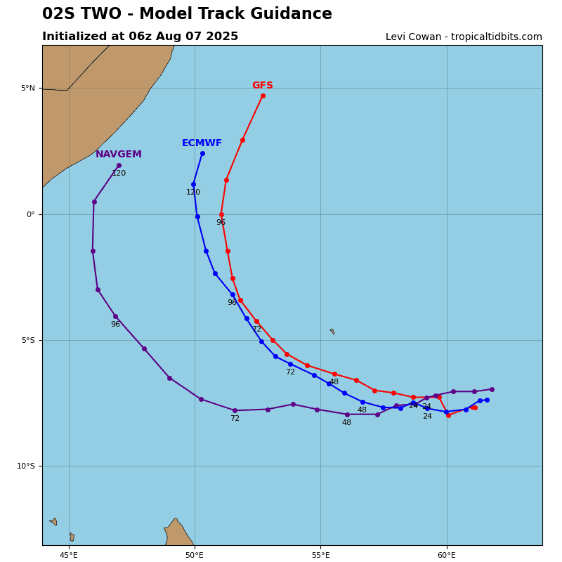
Tropical cyclone 02S is moving west-southwestward along the northern periphery of a str to the south. Over the next 24 hours, a near-equatorial ridge will build to the west of the system, leading to a turn toward the southwest. After 36 hours, the str to the south will build, turning the system back toward the west. Low to moderate vws will persist, while sst will gradually decrease to 27 degrees celsius by 48 hours.
These generally favorable conditions will support steady intensification through 36 hours. After 48 hours, vws will increase to 25 kts and shift to a more northwesterly direction, entraining copious amounts of dry air into the circulation. These more hostile conditions will result in gradual weakening, with dissipation predicted by 96 hours.