

Current Snapshot
For all the latest updates visit: DisasterAWARE
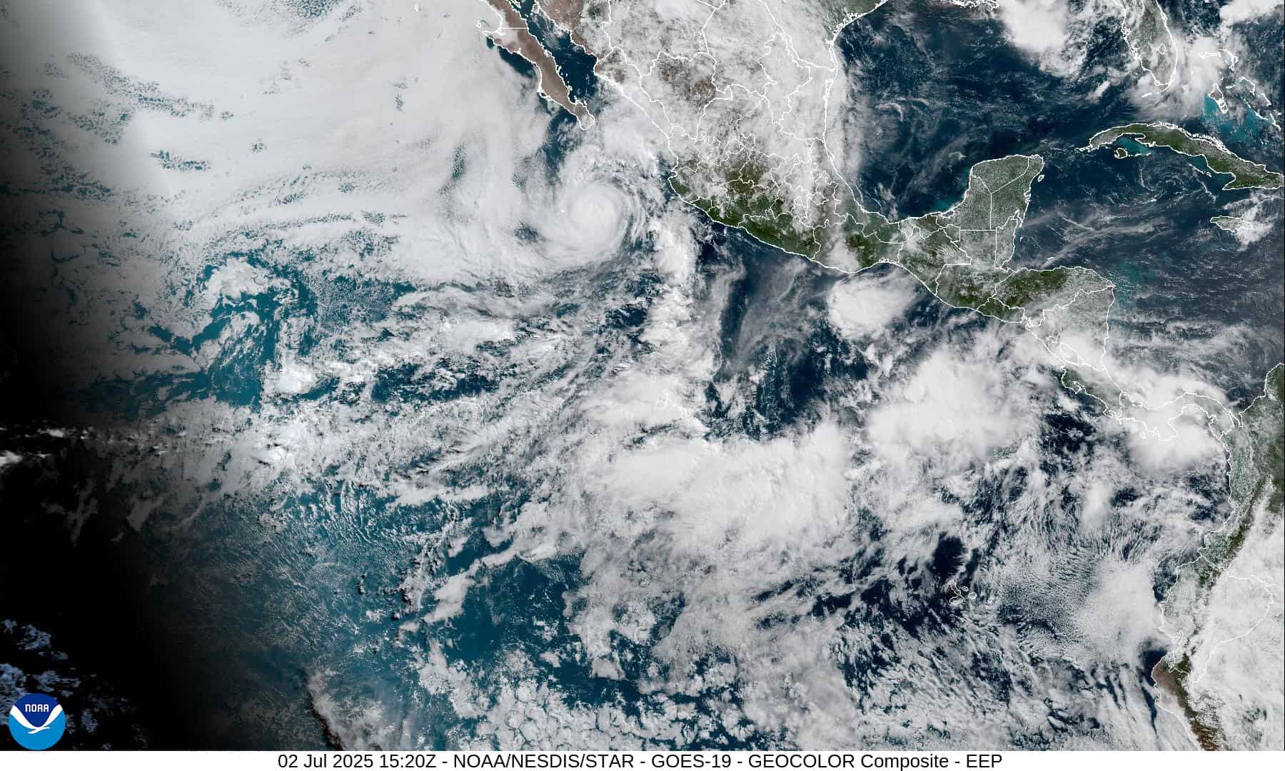
1800x1080e
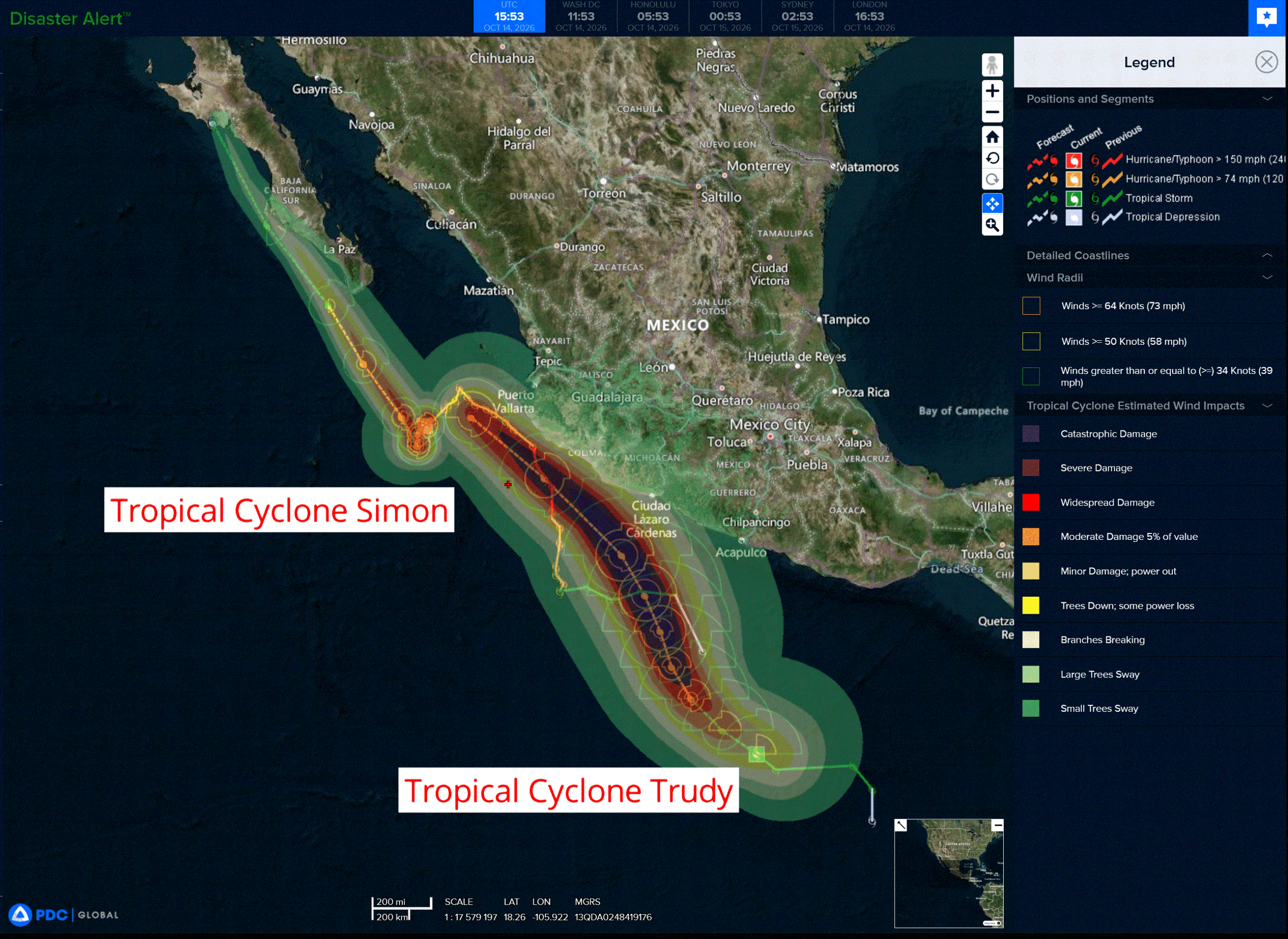
2e
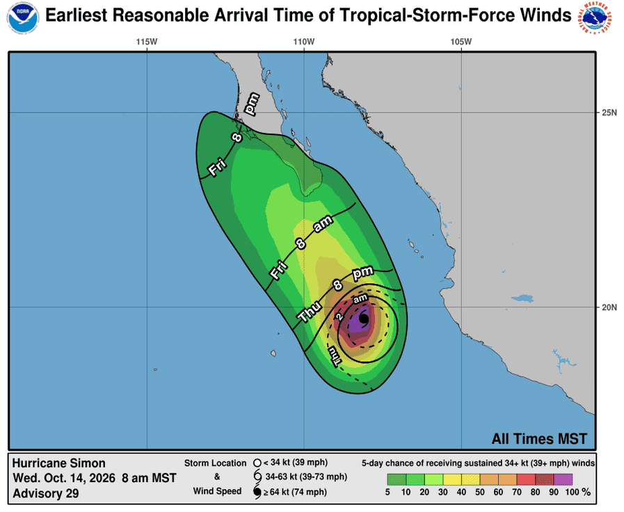
141447_earliest_reasonable_toa_34s
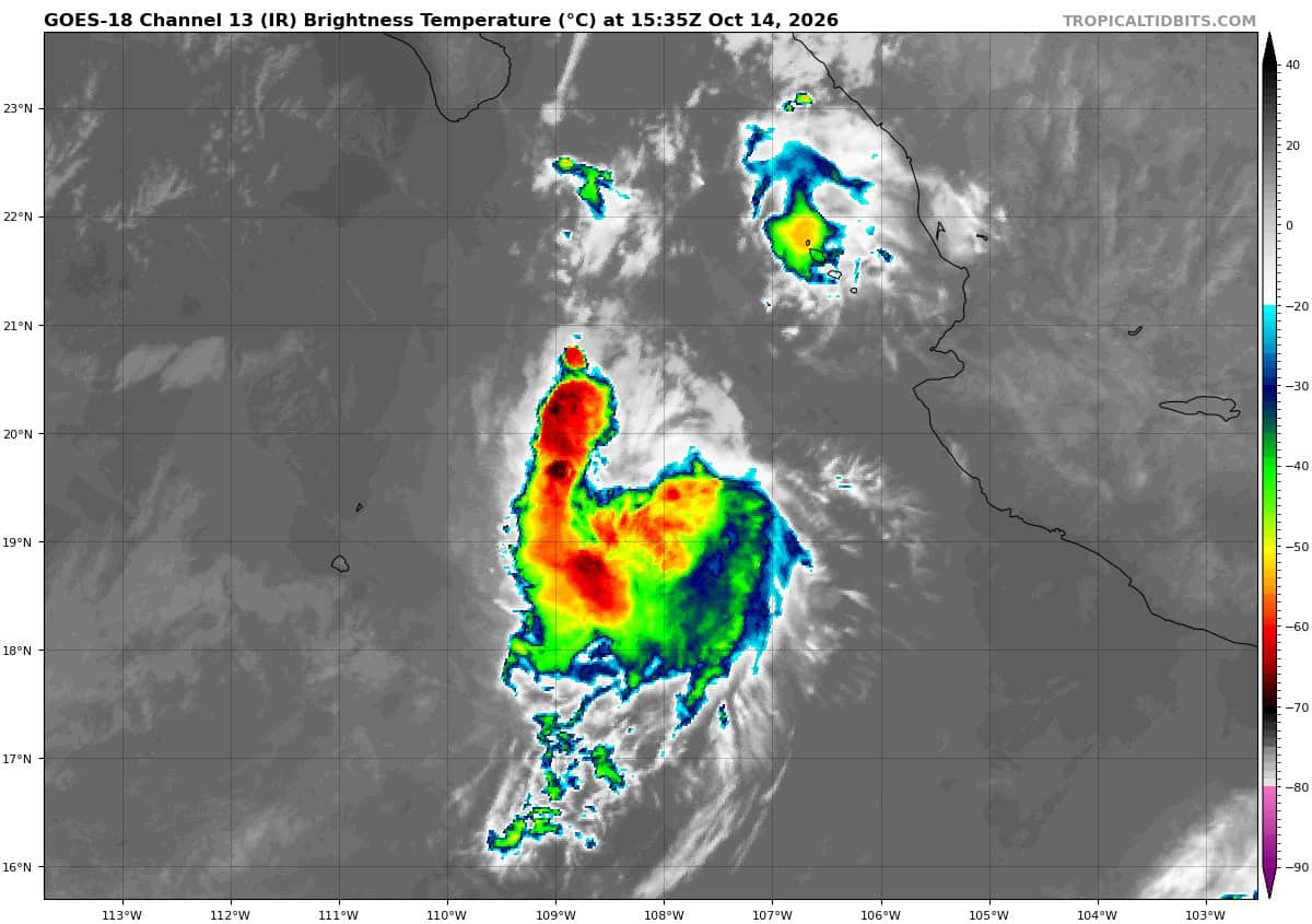
goes18_ir_20E_202610141535_lat19.8-lon-108.0
141447INTQPF_sm
20E_tracks_latest
141455_earliest_reasonable_toa_34
goes19_ir_21E_202610141535_lat11.3-lon-99.2
21E_tracks_latest

1800×1080
10
3w
himawari9_ir_27W_202610141520_lat40.8-lon163.1
27W_tracks_latest
28W_141200sair
himawari9_ir_28W_202610141520_lat22.0-lon142.1
28W_tracks_latest
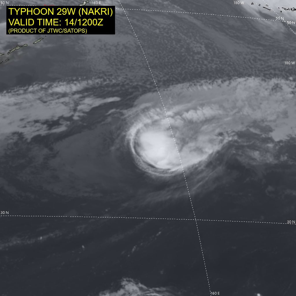
29W_141200sair
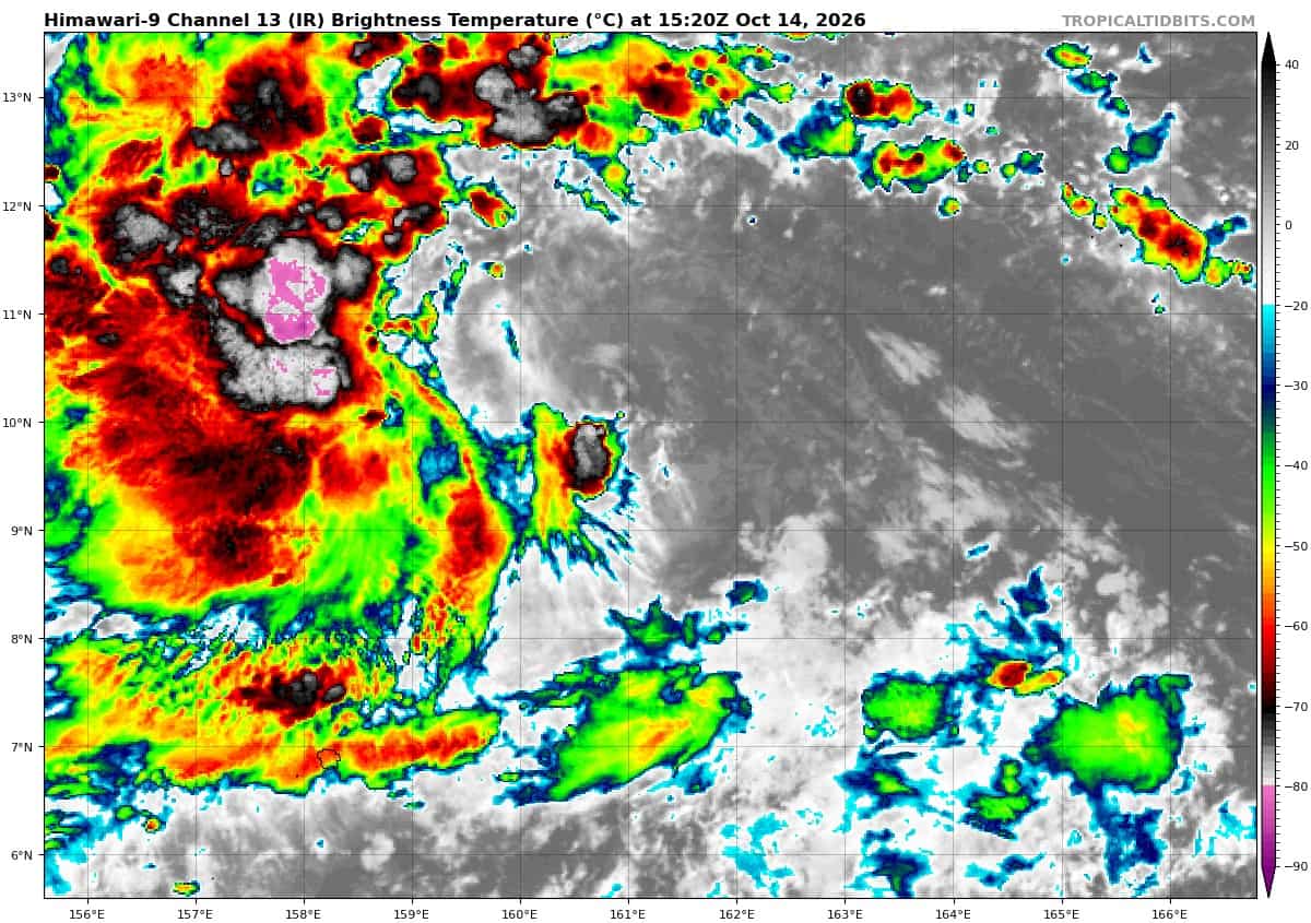
himawari9_ir_29W_202610141520_lat9.6-lon161.2
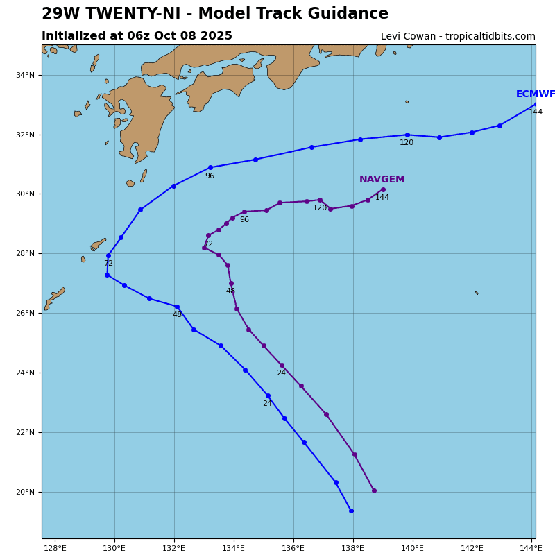
29W_tracks_latest
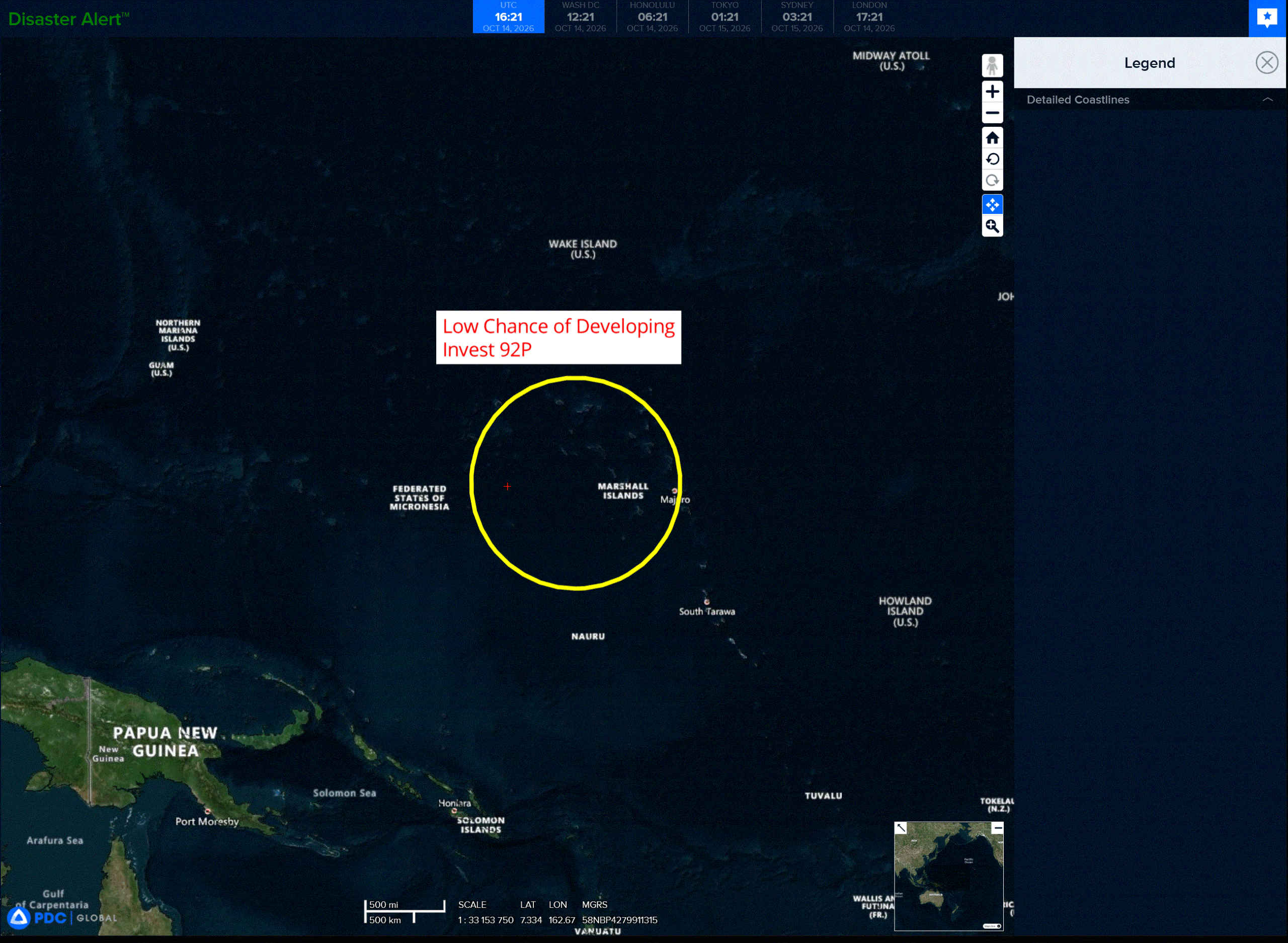
92p
goes18_ir_92P_202610141535_lat-6.9-lon-164.9
92P_tracks_latest
By PDC’s Senior Weather
Specialist Glenn James

The Pacific Disaster Center’s (PDC Global) Wednesday, October 14, 2026, Tropical Cyclone Activity Report…for the Pacific Ocean, the Indian Ocean, and adjacent Seas.
Tropical Cyclones
Tropical Cyclone 20E (Simon) is located about 165 miles west-southwest of Cabo Corrientes, Mexico
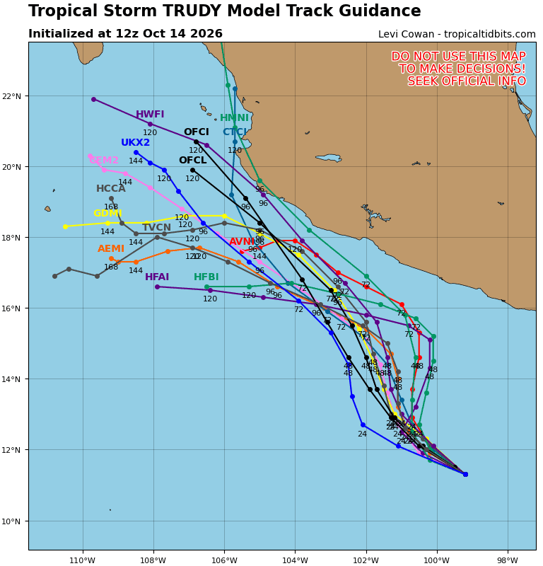
Tropical Cyclone 21E (Trudy) is located about 610 miles south-southeast of Manzanillo, Mexico
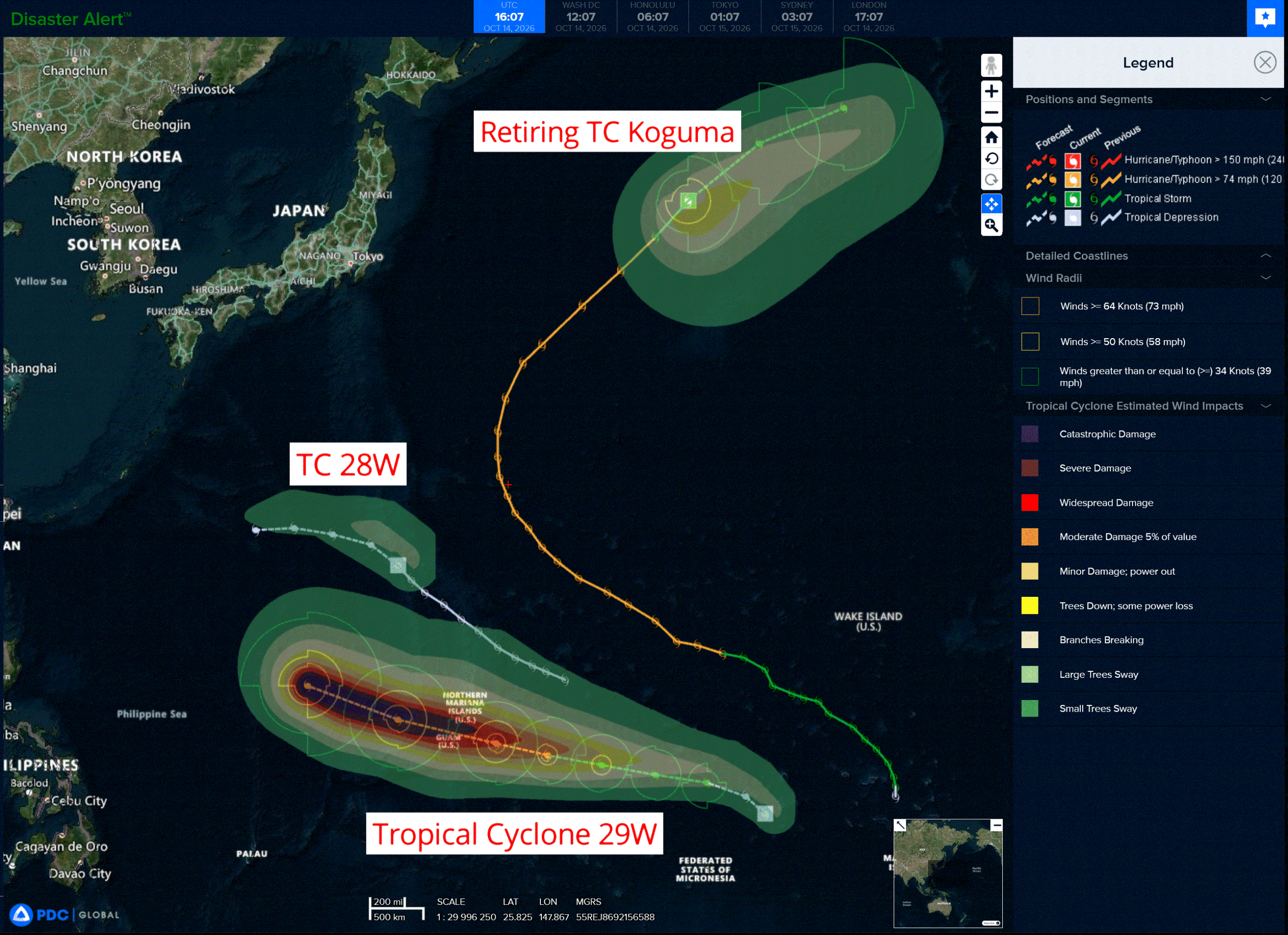
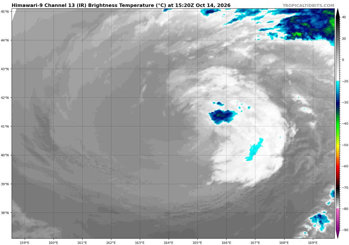
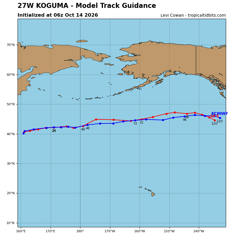
Tropical Cyclone 27W (Koguma) is located approximately 752 NM east of Misawa, Japan – Final Warning
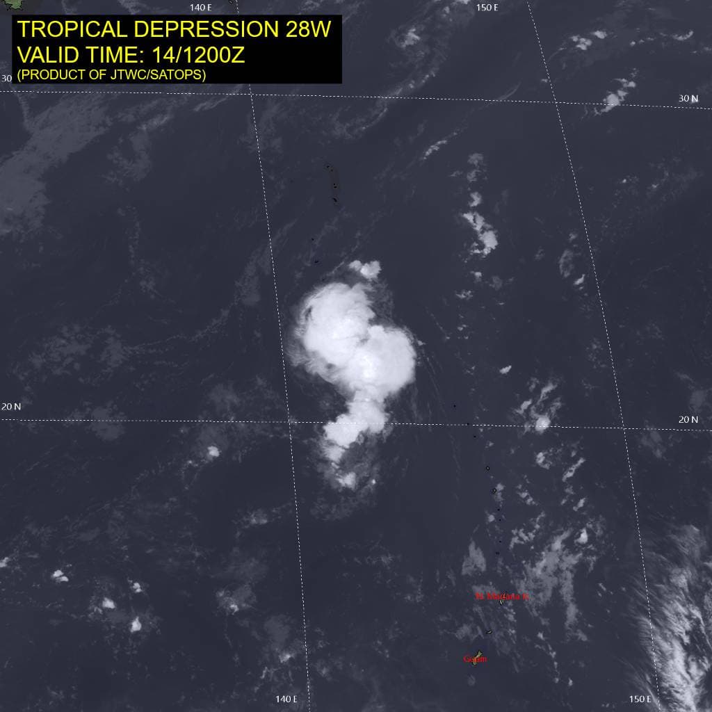
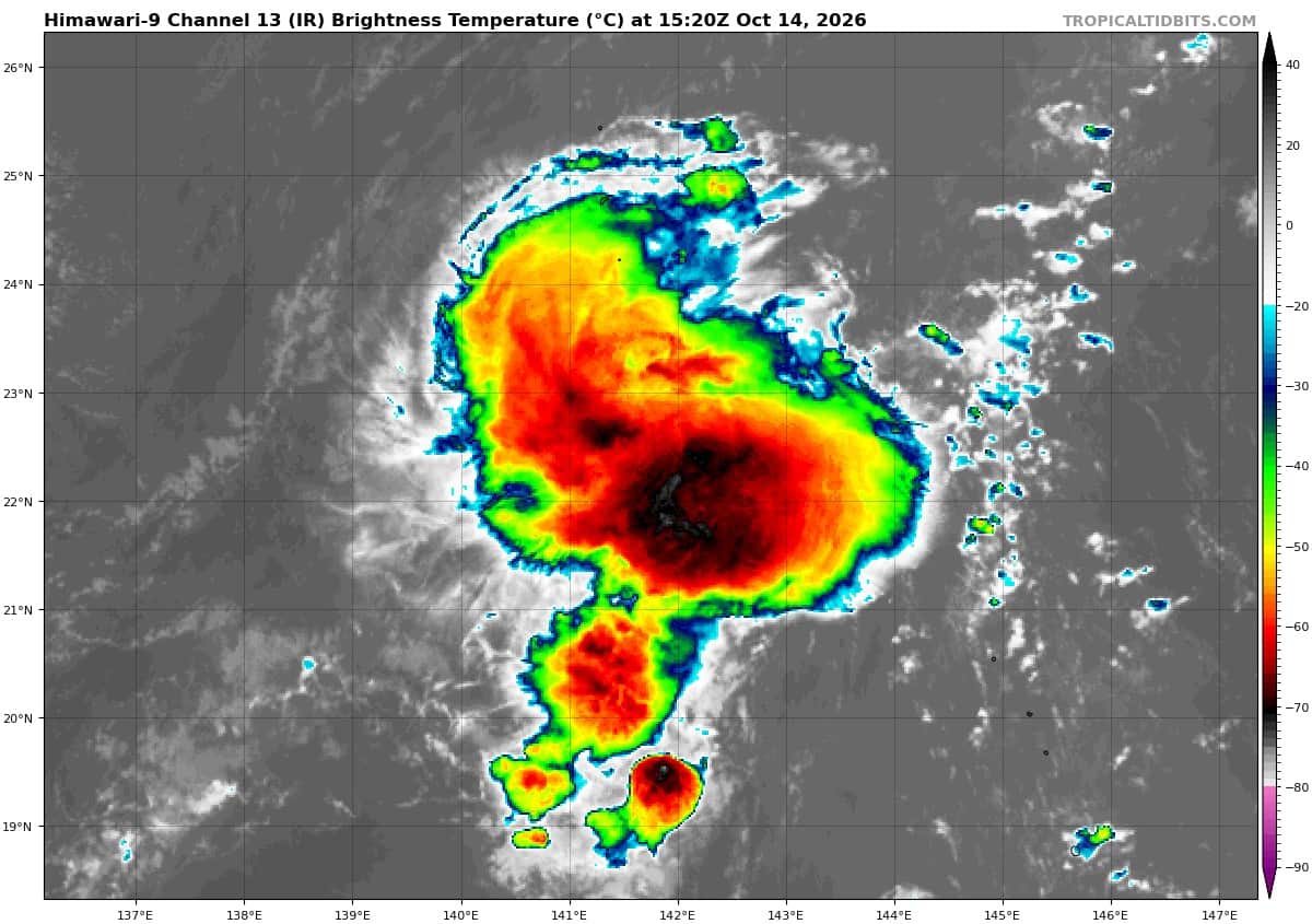
Tropical Cyclone 28W is located approximately 174 NM south-southeast of Iwo To
Tropical Cyclone 29W is located approximately 989 NM east-southeast of Andersen AFB
Northeast Pacific:
Tropical cyclone 20E (Simon)
SIMON WEAKENS WHILE DRIFTING SOUTHWESTWARD…INTERESTS IN WEST-CENTRAL MEXICO AND BAJA CALIFORNIA SUR SHOULD CONTINUE TO MONITOR THE HURRICANE
According to the NHC advisory number 29
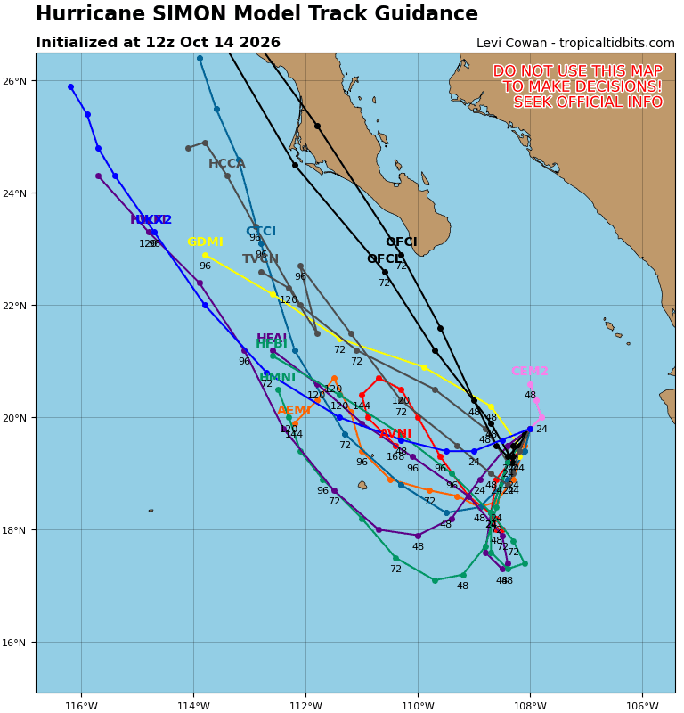
Simon is moving toward the southwest near 2 mph (4 km/h). The hurricane is likely to move slowly and erratically during the next day or two. A turn toward the north or north-northwest is forecast to occur by Friday.
Maximum sustained winds are now near 90 mph (150 km/h) with higher gusts. Some intensity fluctuations are possible through Thursday night, followed by weakening on Friday and into the weekend.
Simon is a very small hurricane. Hurricane-force winds extend outward up to 10 miles (20 km) from the center and tropical-storm-force winds extend outward up to 35 miles (55 km). The estimated minimum central pressure is 975 mb (28.80 inches).
HAZARDS AFFECTING LAND
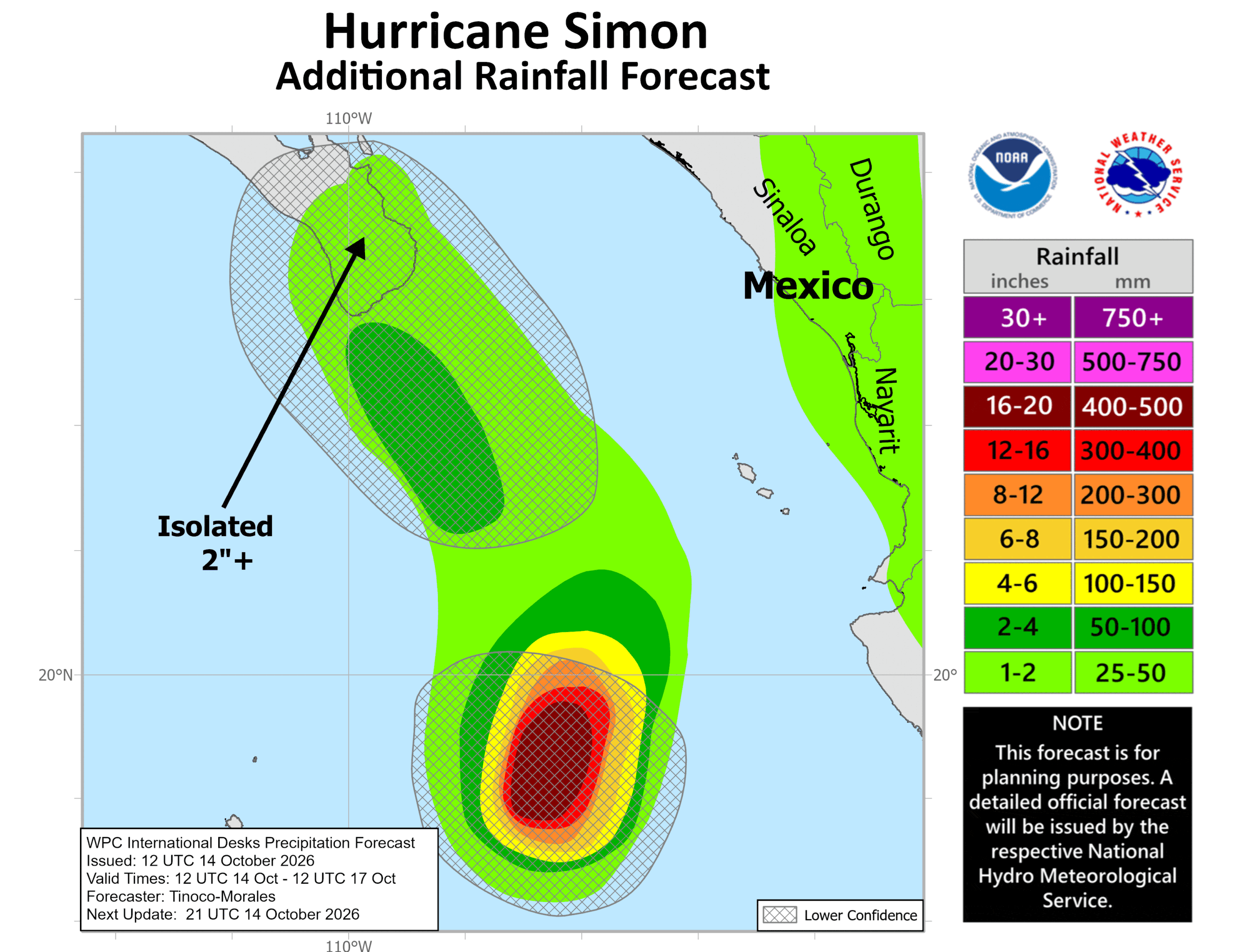
RAINFALL: Through early Saturday, Simon is expected to produce rainfall totals of 1 to 2 inches with isolated maximum amounts of 3 inches over portions of the state of Baja California Sur.
SURF: Swells generated by Simon will affect portions of the coast of west-central Mexico and Baja California Sur during the next few days. These swells are likely to cause life-threatening surf and rip current conditions.
Tropical cyclone 21E (Trudy)
TRUDY EXPECTED TO BECOME A HURRICANE TONIGHT …RESIDENTS OF SOUTHWESTERN AND WEST-CENTRAL MEXICO SHOULD CONTINUE TO MONITOR THE PROGRESS OF THIS SYSTEM
According to the NHC advisory number 5
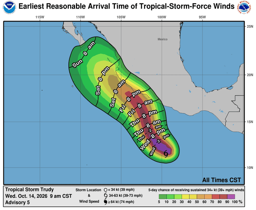
Trudy is moving toward the west-northwest near 13 mph (20 km/h). A turn toward the northwest is expected by tonight, and a turn toward the north-northwest is expected on Thursday. On the forecast track, Trudy could approach the coast of southwestern Mexico on Saturday.
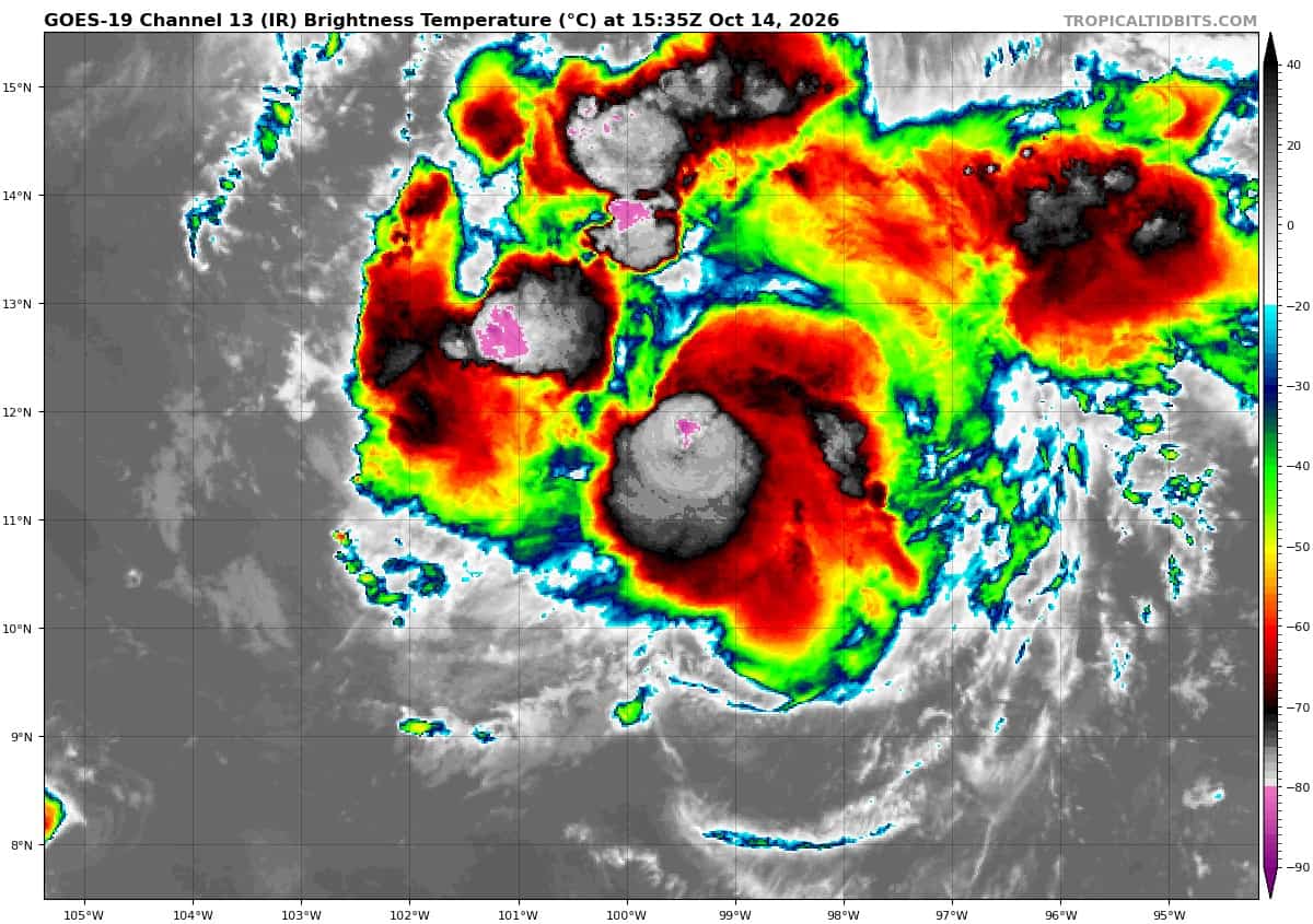
Satellite imagery indicates that maximum sustained winds have increased to near 60 mph (95 km/h) with higher gusts. Rapid strengthening is forecast during the next couple of days, and Trudy is forecast to become a major hurricane on Friday.
Tropical-storm-force winds extend outward up to 80 miles (130 km) from the center. The estimated minimum central pressure is 998 mb (29.47 inches).
HAZARDS AFFECTING LAND
SURF: Swells generated by Trudy are expected to begin affecting portions of the coast of southwestern Mexico late this week and continue through the weekend. These swells are likely to cause life-threatening surf and rip current conditions.
Central North Pacific: There are no Tropical Cyclones
Tropical cyclone formation is not expected during the next 7 days.
Western Pacific, Indian Ocean, and adjacent Seas:
Western Pacific
Tropical Cyclone 27W (Koguma) – Final Warning
According to the JTWC warning number 36…sustained winds were 50 knots with gusts to 65 knots
Animated enhanced infrared imagery (eir) shows 27W with an increasingly asymmetrical structure and loss of central convection. Further analysis reveals 27W has lost tropical characteristics with an asymmetrical wind field and convective structure as well as expanding radius of maximum winds (rmw). Additionally, the system is currently within less than 24 c sea surface temperatures and 30-40 kts of vertical wind shear which continues to entrain dry air into the core.
The system is assessed to have begun subtropical transition (stt) and is expected to complete within 12 hours, with likely subsequent extratropical transition (ett) as the system nears the upper level jet and stronger baroclinic zone. The system is expected to steadily weaken as it transitions due to the hostile environmental conditions.
Tropical Cyclone 28W
According to the JTWC warning number 11…sustained winds were 30 knots with gusts to 40 knots
Animated enhanced infrared (eir) satellite imagery shows that the convection that was developing around the 0600z hour, has expanded and persisted, and now covers and obscures the low-level circulation center (llcc). A dearth of high-resolution microwave imagery precludes analysis of whether or not the convection is
truly organizing or just flaring in isolated pockets. There appears to be two distinct convective masses, one northwest and one southeast of the assessed llcc, and currently there is no sign of rotation, suggesting that the structure remains disorganized.
As the mesoscale models had suggested, the moisture field somewhat improved in the overnight hours, and the upper-level low (ull) repositioned to a more favorable position, increasing upper-level outflow. Animated water vapor imagery however shows very dry air lurking to the west and northwest.
Environmental conditions are marginally favorable, with warm ssts, low shear and marginally improved outflow aloft, offset by the presence of dry mid-level air all around the llcc, which is itself cocooned in a tiny pocket of enhanced moisture.
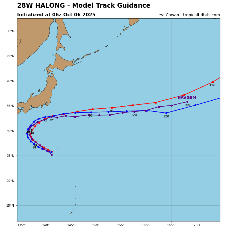
Tropical depression 28W is forecast to continue tracking northwestward through 24 hours, then begin a
gradual westward turn through the end of the forecast period as the primary steering influence shifts from the str to the northeast, to a low- to mid-level ridge west of Kyushu.
In terms of intensity, the convection that developed about six hours ago has been somewhat surprisingly persistent. However, the convection is likely peaking in its intensity currently, or will reach its peak imminently and is expected to collapse within the next six hours.
All global and mesoscale models depict an extremely dry air mass to the west-northwest of TD 28W, and the system will begin moving into the dry air within the next 12 hours. After 24 hours, shear begins to gradually increase as well, and the combined effects will result in a general weakening trend from 12 hours through the end of the forecast period.
Tropical Cyclone 29W
According to the JTWC warning number 1…sustained winds were 30 knots with gusts to 40 knots
Animated enhanced infrared (eir) satellite imagery depicts a partially exposed low-level circulation center (llcc) exhibiting weak, transient convective bursts proximate to the assessed center, which rapidly shear and dissipate westward. Over the past 12 hours, the llcc executed a counter-clockwise loop after decoupling from a mid-level convective mesovortex. The remnant deep convection persists but is displaced approximately 100 nm west of the llcc. A 141024z ascat-b pass revealed that the wind field remains structurally asymmetric, although significantly more compact compared to 24 hours ago.
The circulation is poorly defined to the north-northwest; however, a swath of 25-30 knot winds is evident across the southern semicircle, with 20-25 knot winds beginning to wrap along the eastern flank.
Environmental conditions are generally favorable; ssts are very warm, ocean heat content (ohc) is sufficient to support intensification, deep-layer vertical wind shear (vws) is low (although mid-level shear is estimated to be stronger), and upper-level outflow is modestly favorable, providing steady westward outflow.
TD 29W is forecast to continue its counter-clockwise looping motion over the next 12 hours, before establishing a west-northwestward heading. By 24 hours, the trajectory will become locked, and 29W will track on a steady 280-285 degree heading along the equatorward periphery of the expansive str centered
to the north. Track speeds will be slow in the early portion of the forecast as the system completes its loop. by 24 hours, 29W will accelerate to 13 knots and maintain that translation speed through at least 96 hours, before decelerating slightly by the end of the forecast period.
The key question with this forecast is the intensity; specifically, the potential for rapid intensification (ri) and the timing of this event relative to the Marianas Islands. In the short-term, the system is unlikely to intensify significantly due to persistent moderate northeasterly shear and the presence of dry mid-level air to the northeast. For these reasons, the forecast calls for only 10 knots of intensification over the next 24 hours. Conditions improve markedly near 36 hours, when the dry air is mixed out, vws relaxes, and all numerical guidance points to the system attaining a vertically aligned, symmetrical vortex. assuming 29W achieves
symmetrization by 48 hours, the forecast specifically calls for ri between 48 and 72 hours, and another round of ri from 72 to 96 hours, as the system approaches and passes through the Marianas Island chain.
29W is expected to continue intensifying, albeit at a slower rate, through 120 hours, reaching a peak of at least 125 knots by the end of the forecast. Some of the more aggressive models show the system achieving vortex symmetrization and starting ri earlier, resulting in a system that is approaching super typhoon strength as it reaches cpa to Guam. Given the extensive core construction required, this outcome remains a higher-end scenario at this time.
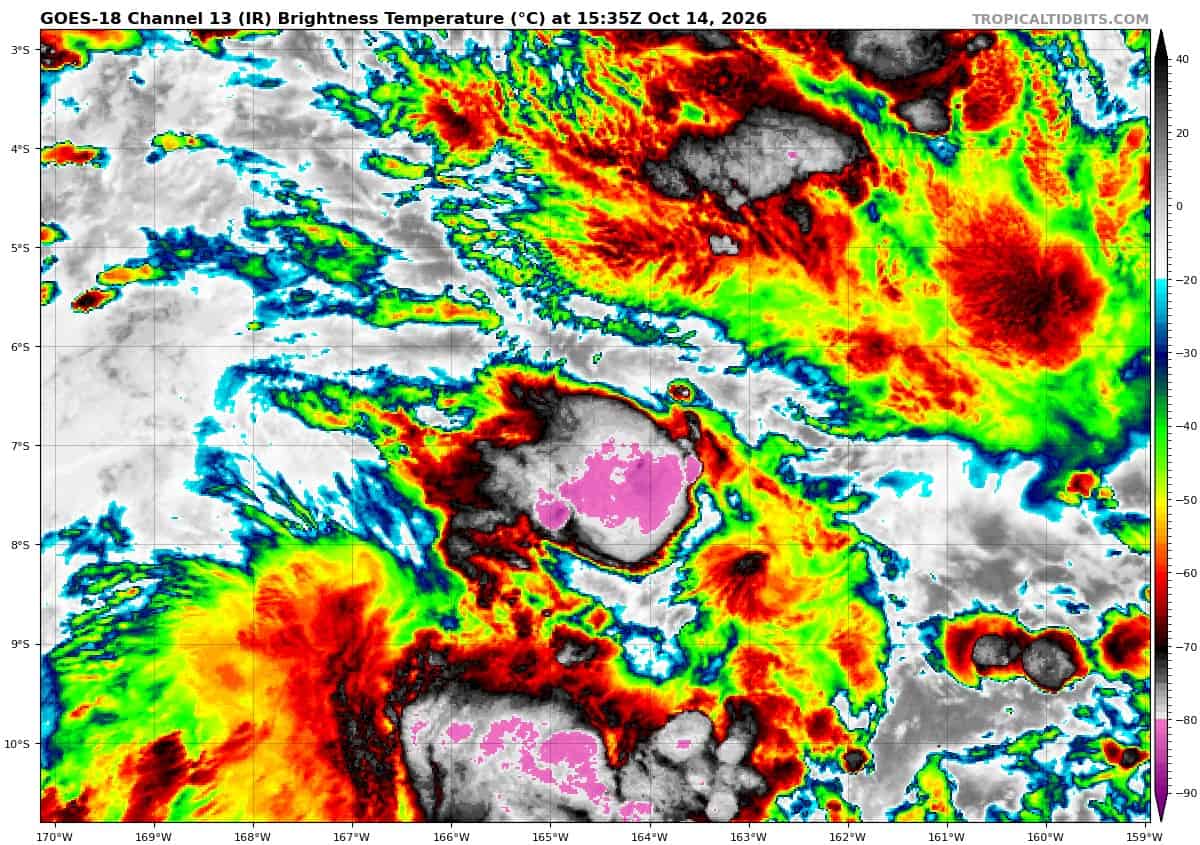
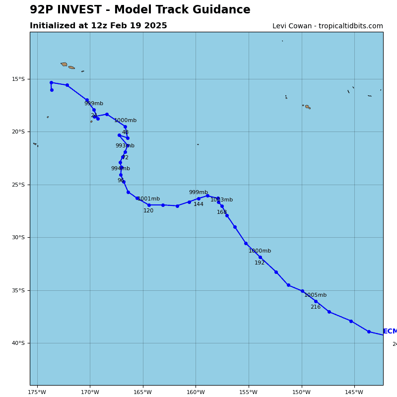
>>> There’s an area of disturbed weather being referred to as Invest 92P, which is located approximately 487 NM north-northeast of Pago Pago
Animated multi-spectral satellite imagery depicts an obscured lower-level circulation center with sporadic,
disorganized convection around the periphery.
Environmental analysis reveals a favorable environment for development with strong upper-level outflow, low to moderate vertical wind shear (10-15 kts), and warm sea surface temperatures (29-30 c).
Global models show 92P staying quasi-stationary before beginning to track southward after it consolidates more over the next 24-48 hours.
Maximum sustained surface winds are estimated at 22-27 knots.
Minimum sea level pressure is estimated to be near 1007 mb.
The potential for the development of a significant tropical cyclone within the next 24 hours remains low.