

Current Snapshot
For all the latest updates visit: DisasterAWARE
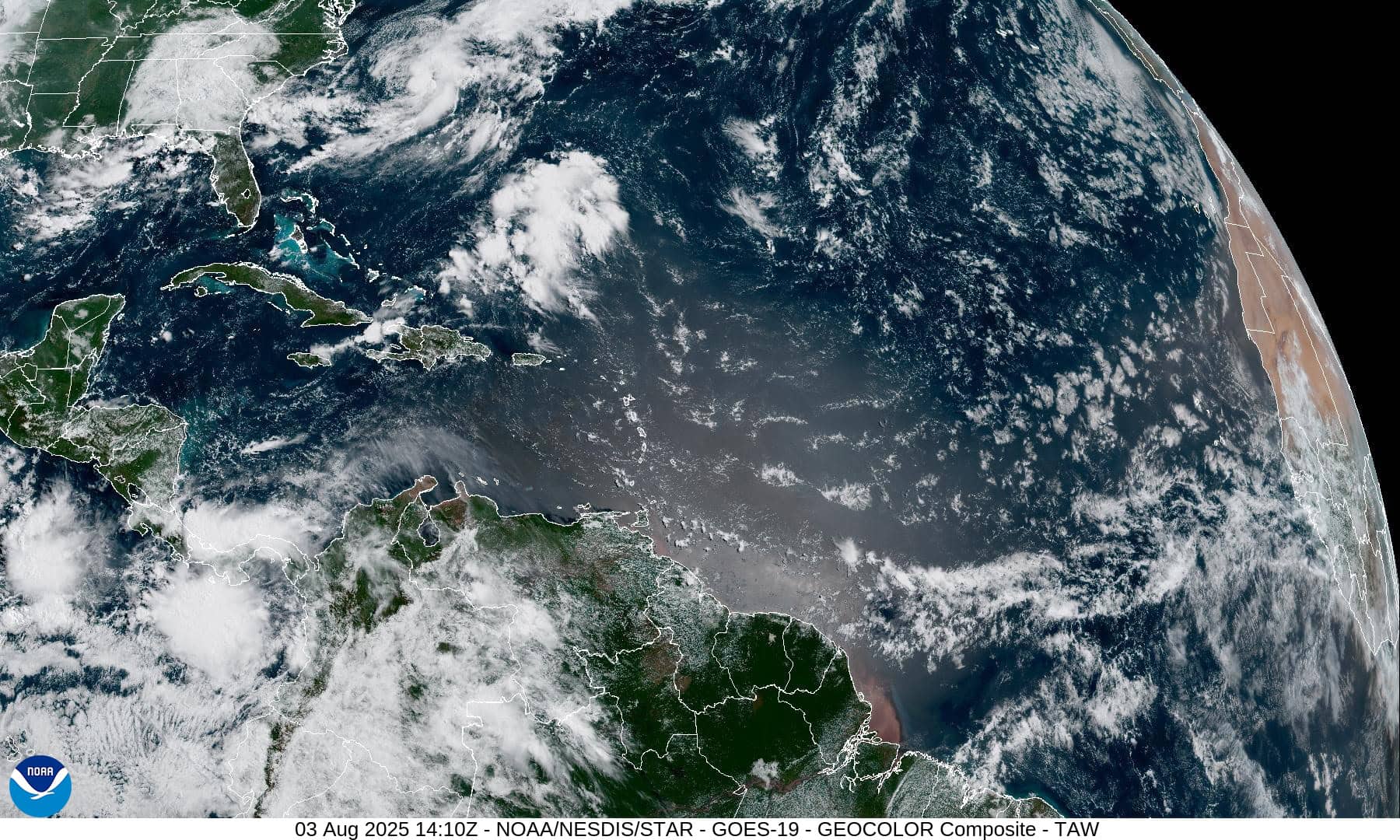
1800x1080a
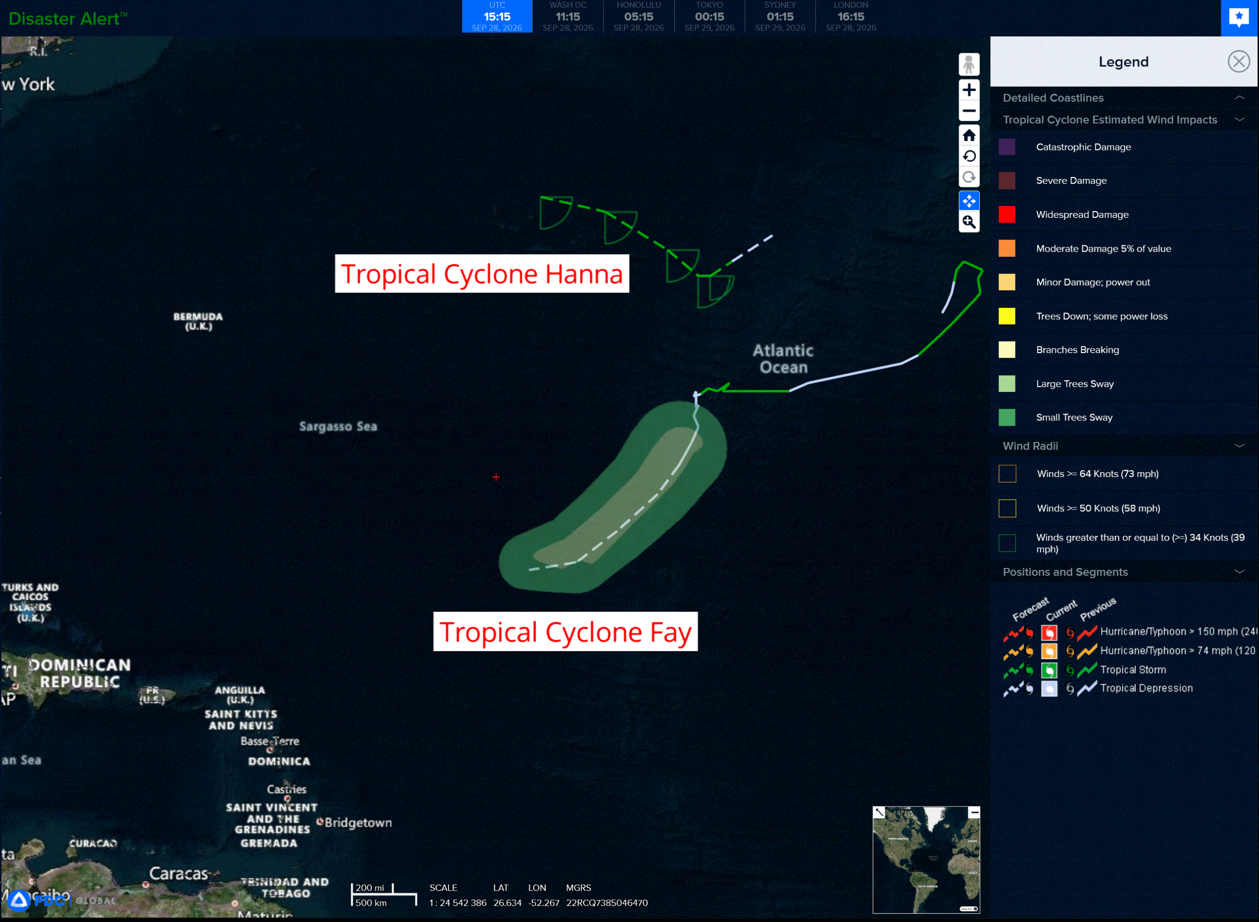
2a
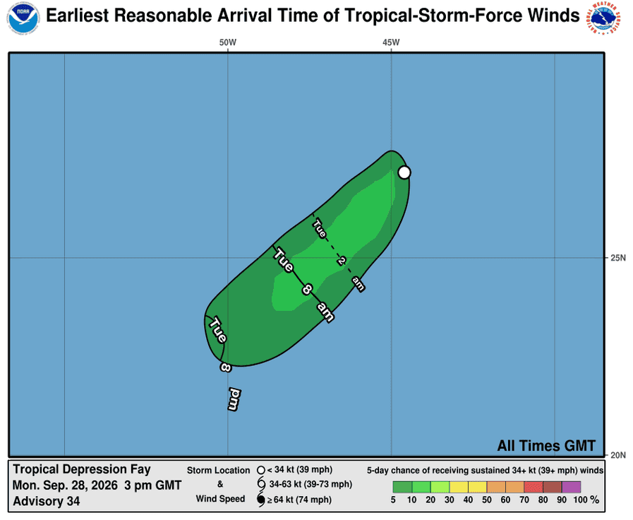
281439_earliest_reasonable_toa_34F
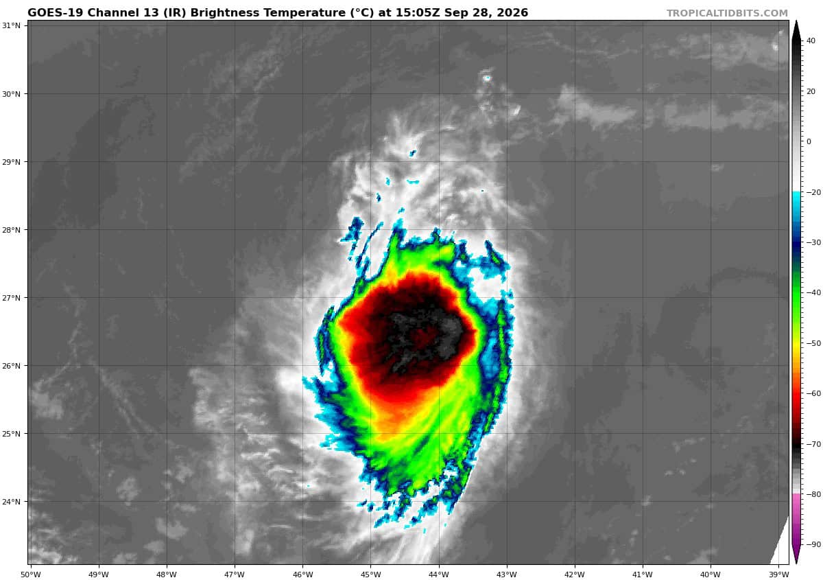
goes19_ir_06L_202609281505_lat27.4-lon-44.3
06L_tracks_latest
281500_earliest_reasonable_toa_34H
goes19_ir_08L_202609281535_lat36.7-lon-51.3
08L_eps_latest
By PDC’s Senior Weather
Specialist Glenn James

The Pacific Disaster Center’s (PDC Global) Monday, September 28, 2026, Tropical Cyclone Activity Report…for the Atlantic Ocean, the Caribbean Sea, and the Gulf of America
Current Tropical Cyclones:
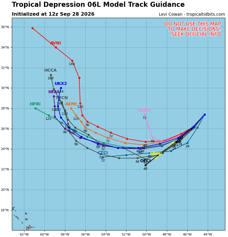
Tropical Cyclone Fay…is located about 1265 miles west-southwest of the Azores
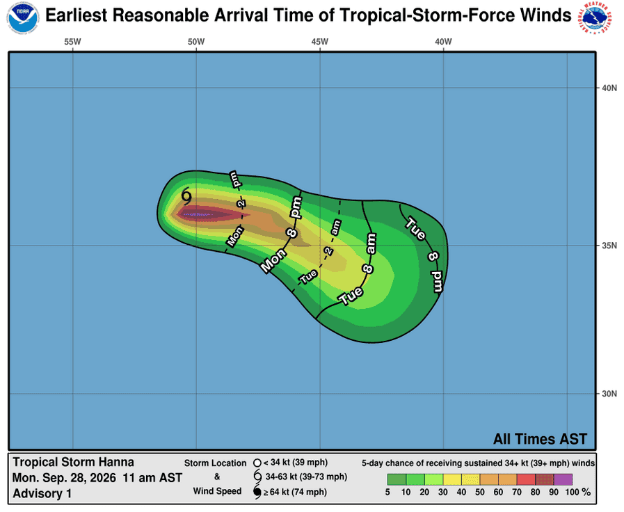
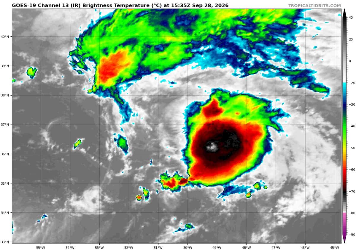
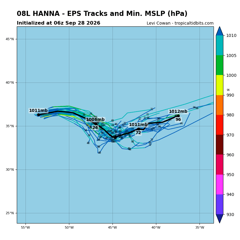
Tropical Cyclone Hanna…is located about 870 miles east-northeast of Bermuda
Atlantic Ocean:
Tropical Cyclone Fay
FAY MOVING SOUTH-SOUTHWESTWARD OVER THE CENTRAL ATLANTIC
According to the NHC advisory number 34
The depression is moving toward the south-southwest near 9 mph (15 km/h). A turn to the southwest and then to the west-southwest, along with an increase in forward motion, is expected over the next couple of days.
Maximum sustained winds are near 35 mph (55 km/h) with higher gusts. Little change in strength is forecast during the next day or so, and Fay is forecast to become a post-tropical cyclone on Tuesday.
The estimated minimum central pressure is 1011 mb (29.86 inches).
Tropical Cyclone Hanna
TROPICAL STORM HANNA FORMS IN THE CENTRAL SUBTROPICAL ATLANTIC
According to the NHC advisory number 1
Hanna is moving toward the east near 17 mph (28 km/h). An east to east-southeast motion is forecast over the next few days.
Satellite wind data indicates that maximum sustained winds are near 45 mph (75 km/h) with higher gusts. Little change in strength is forecast during the next couple of days.
Tropical-storm-force winds extend outward up to 90 miles (150 km) from the center. The estimated minimum central pressure is 1006 mb (29.71 inches).
Caribbean Sea: There are no active tropical cyclones
Tropical cyclone formation is not expected during the next 7 days.
Gulf of America: There are no active tropical cyclones
Tropical cyclone formation is not expected during the next 7 days.