

Current Snapshot
For all the latest updates visit: DisasterAWARE
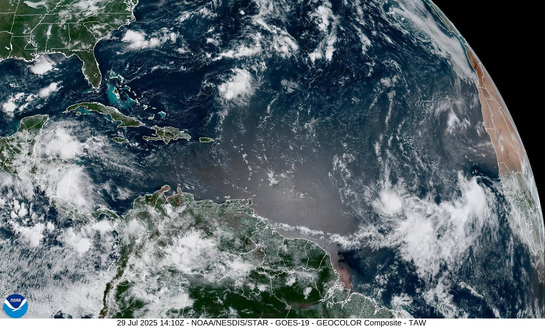
1800x1080a
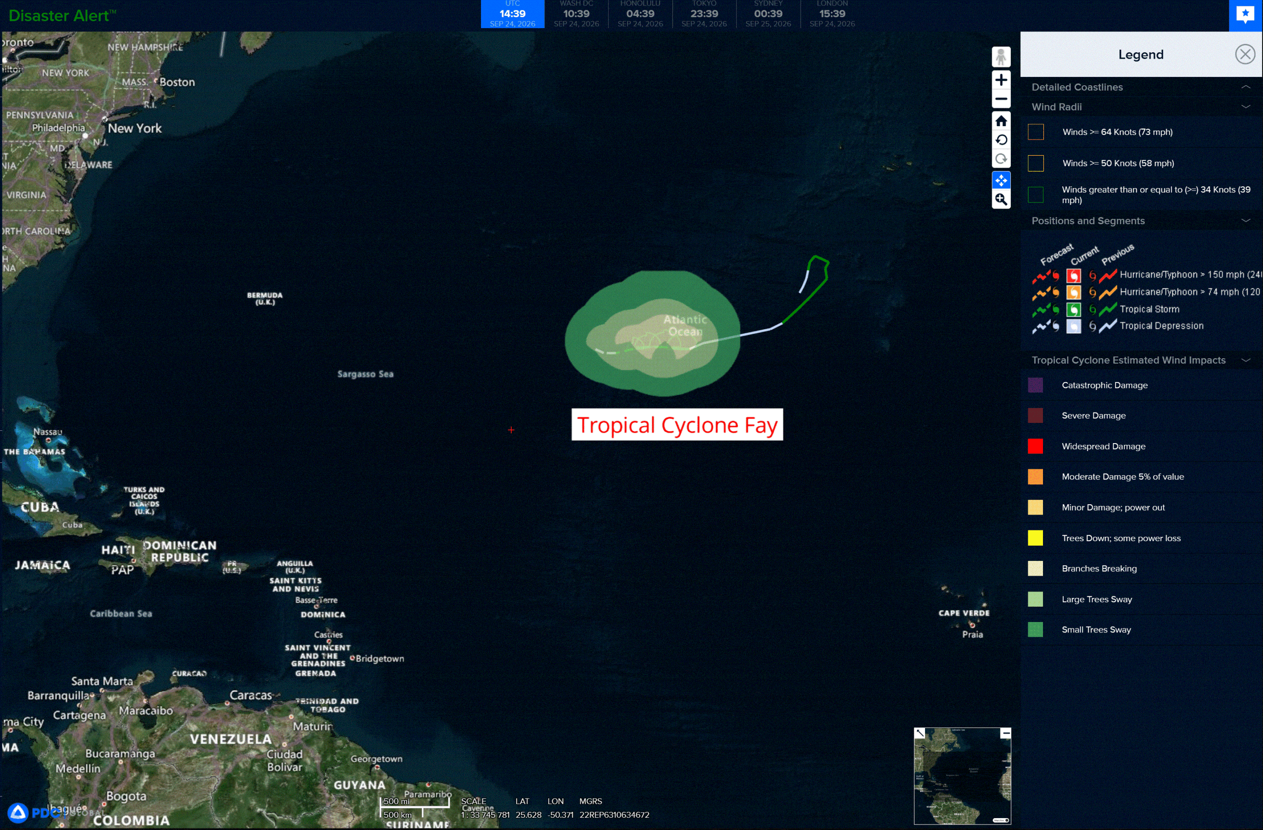
fay
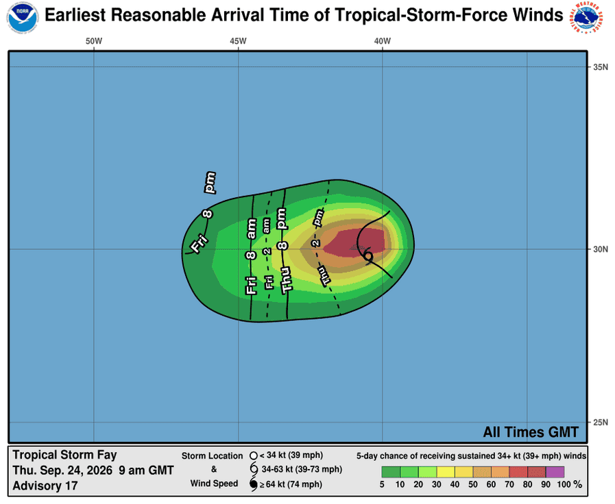
241439_earliest_reasonable_toa_34
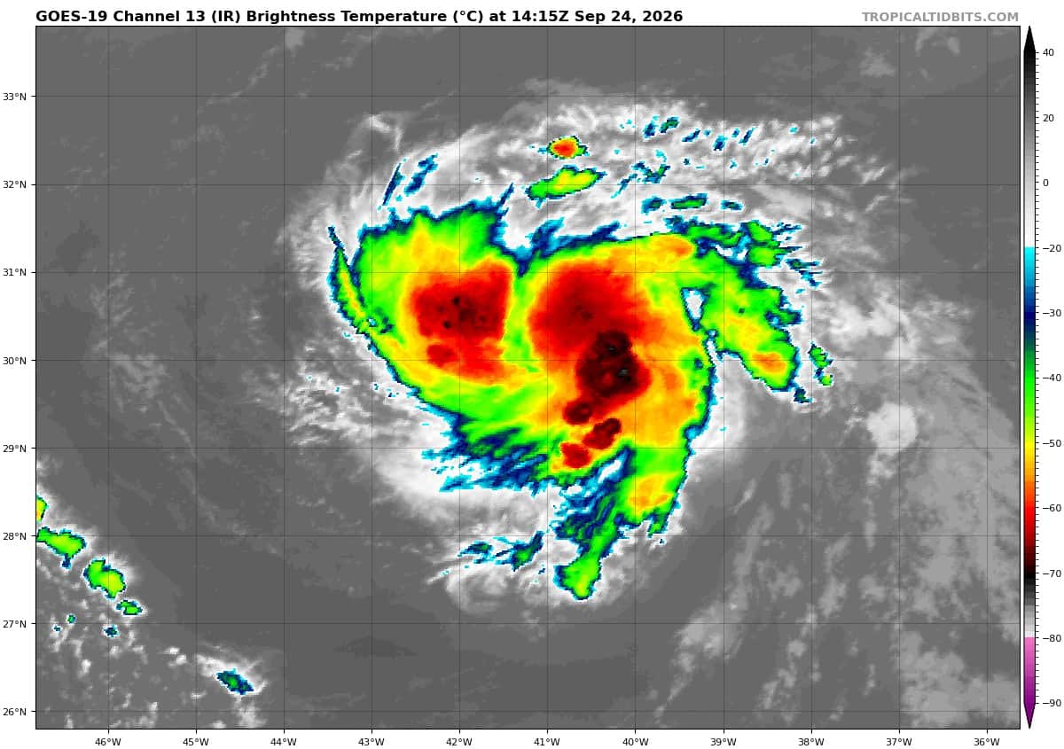
goes19_ir_06L_202609241415_lat29.8-lon-40.9
06L_tracks_latest
2a
7a

90L_tracks_latest
By PDC’s Senior Weather
Specialist Glenn James

The Pacific Disaster Center’s (PDC Global) Thursday, September 24, 2026, Tropical Cyclone Activity Report…for the Atlantic Ocean, the Caribbean Sea, and the Gulf of America
Current Tropical Cyclones:
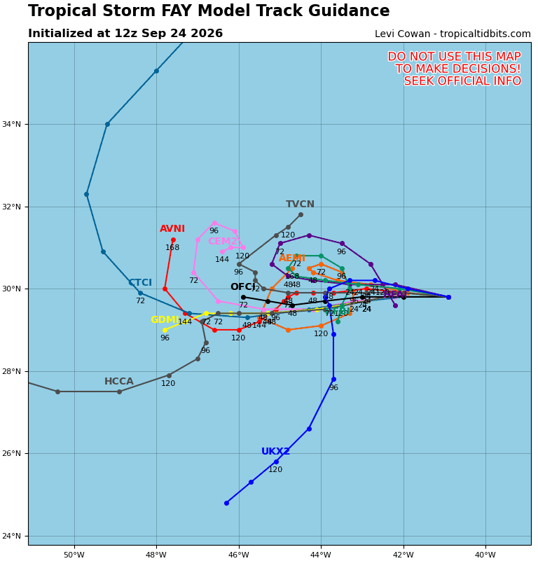
Tropical Cyclone Fay…is located about 990 miles west-southwest of the Azores
Atlantic Ocean:
Tropical Cyclone Fay
FAY STRENGTHENS WHILE MOVING WESTWARD OVER THE CENTRAL ATLANTIC
According to the NHC advisory number 18
Fay is moving toward the west near 6 mph (9 km/h). A generally westward motion with some decrease in forward speed is expected over the next few days. Maximum sustained winds have increased to near 50 mph (85 km/h) with higher gusts. Some additional strengthening is possible through tonight. A gradual weakening trend is expected to commence on Friday. Tropical-storm-force winds extend outward up to 80 miles (130 km) from the center. The estimated minimum central pressure is 1005 mb (29.68 inches).
>>> Far Eastern Tropical Atlantic:
Invest 90
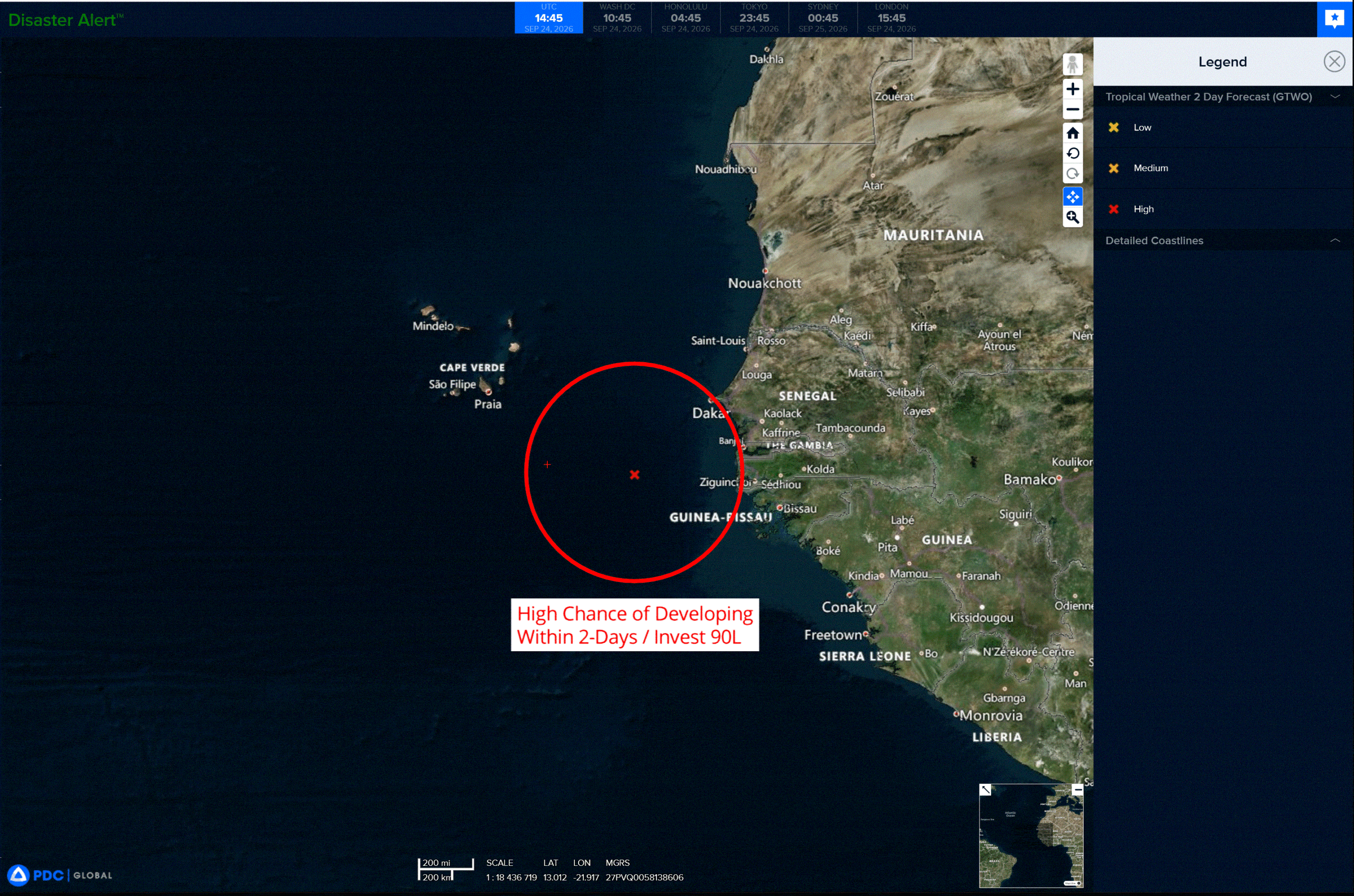
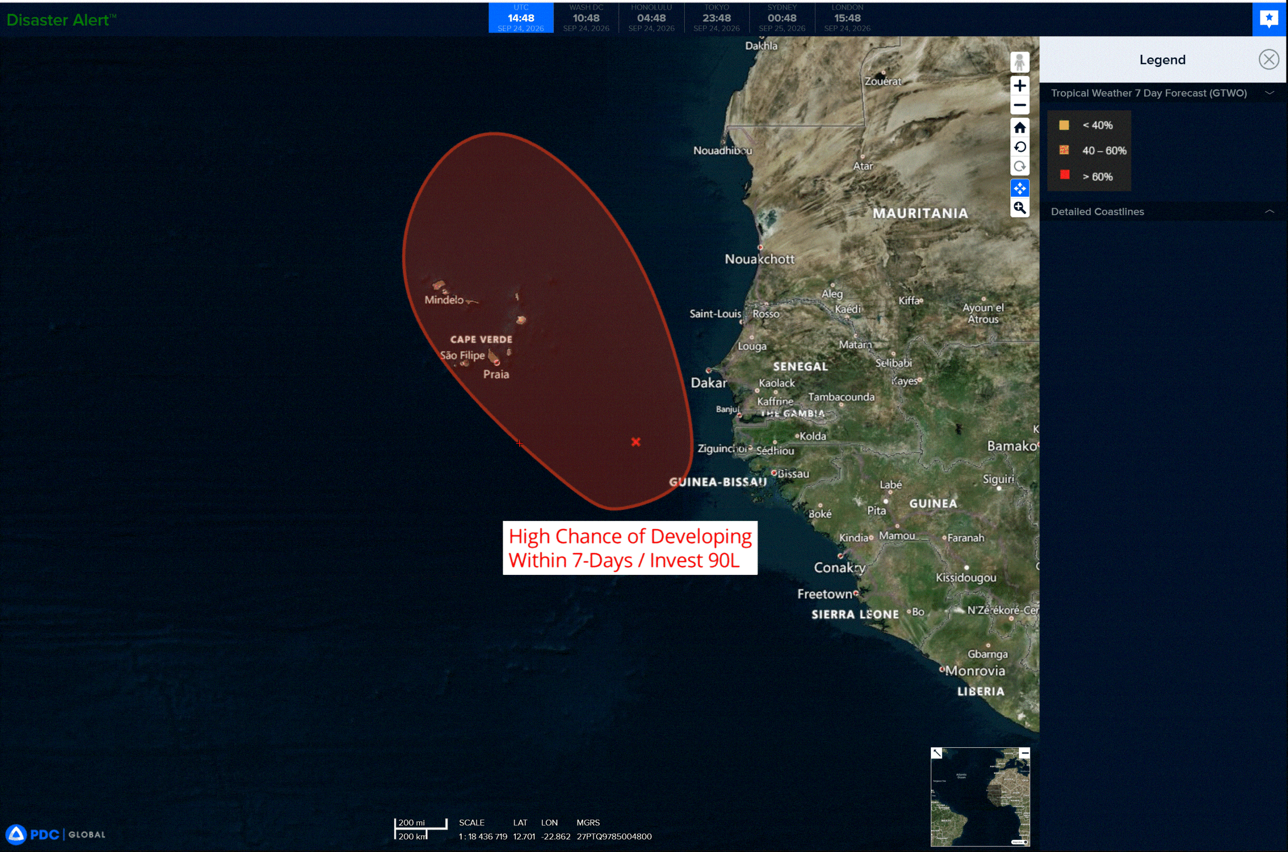
A broad area of low pressure located a few hundred miles south-southeast of the Cabo Verde Islands is producing a large area of disorganized showers and thunderstorms. This system could become a short-lived tropical depression or a tropical storm later today or on Friday while it moves northwestward to northward. Increasing upper-level winds, however, should prevent further development by the weekend. Interests in the Cabo Verde Islands should monitor the progress of this system as gusty winds, areas of heavy rain, and flash flooding are possible over the islands by Friday.
* Formation chance through 48 hours…high…70 percent
* Formation chance through 7 days…high…70 percent
Caribbean Sea: There are no active tropical cyclones
Tropical cyclone formation is not expected during the next 7 days.
Gulf of America: There are no active tropical cyclones
Tropical cyclone formation is not expected during the next 7 days.