

Current Snapshot
For all the latest updates visit: DisasterAWARE
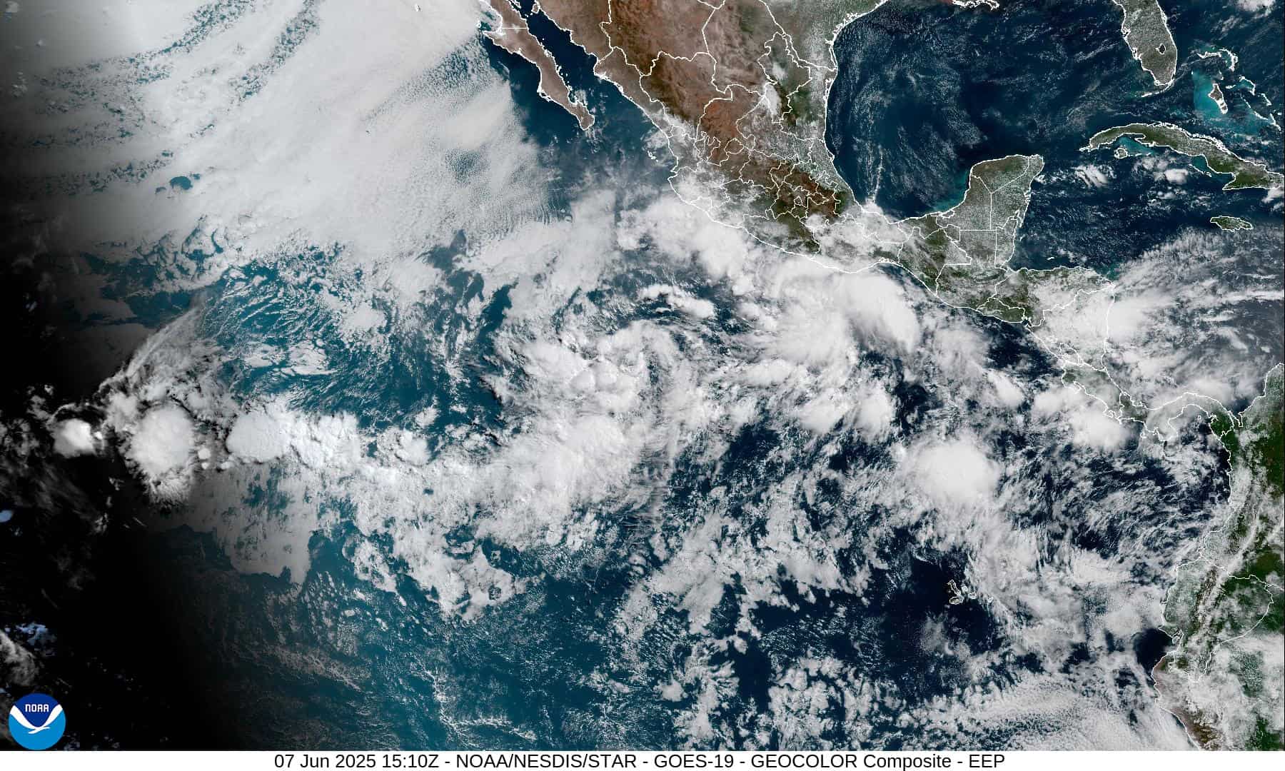
1800x1080e
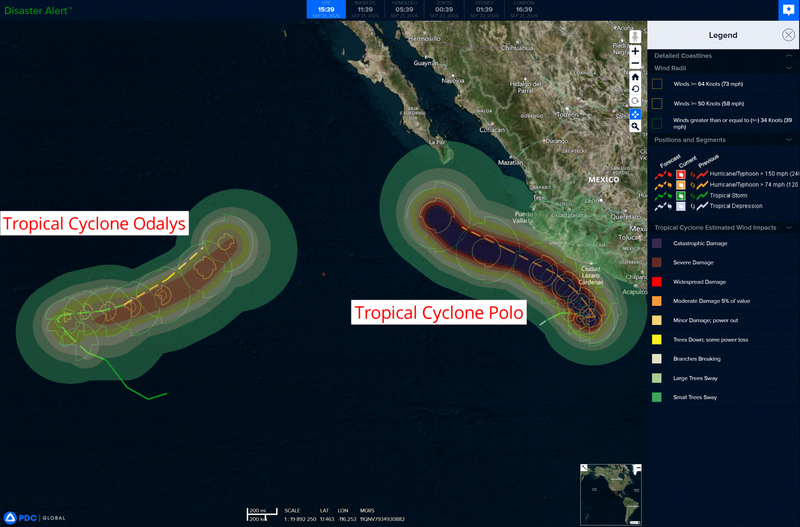
2e
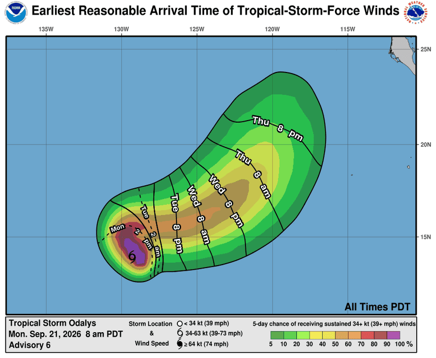
211447_earliest_reasonable_toa_34OOO
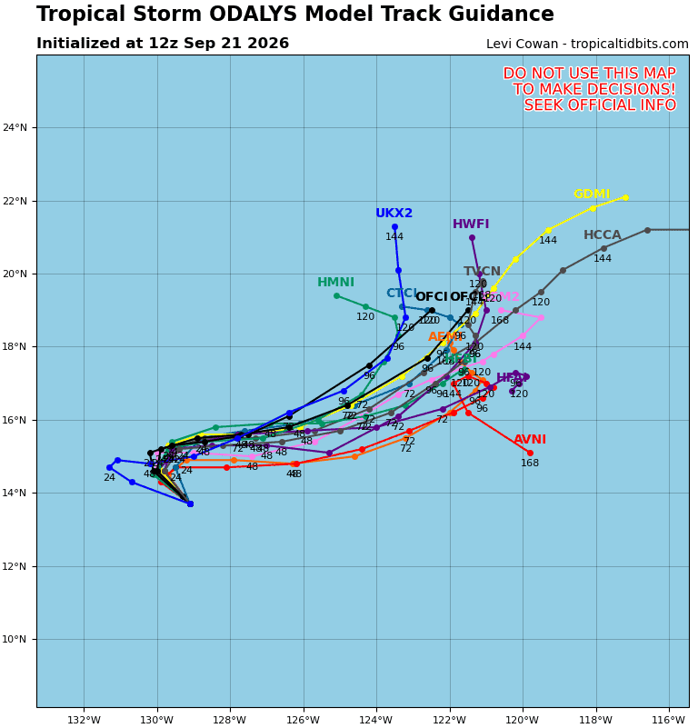
16E_tracks_latestOOO
211452_earliest_reasonable_toa_34PPP
211452INTQPF_sm

17E_tracks_latest

1800x1080c
low
high
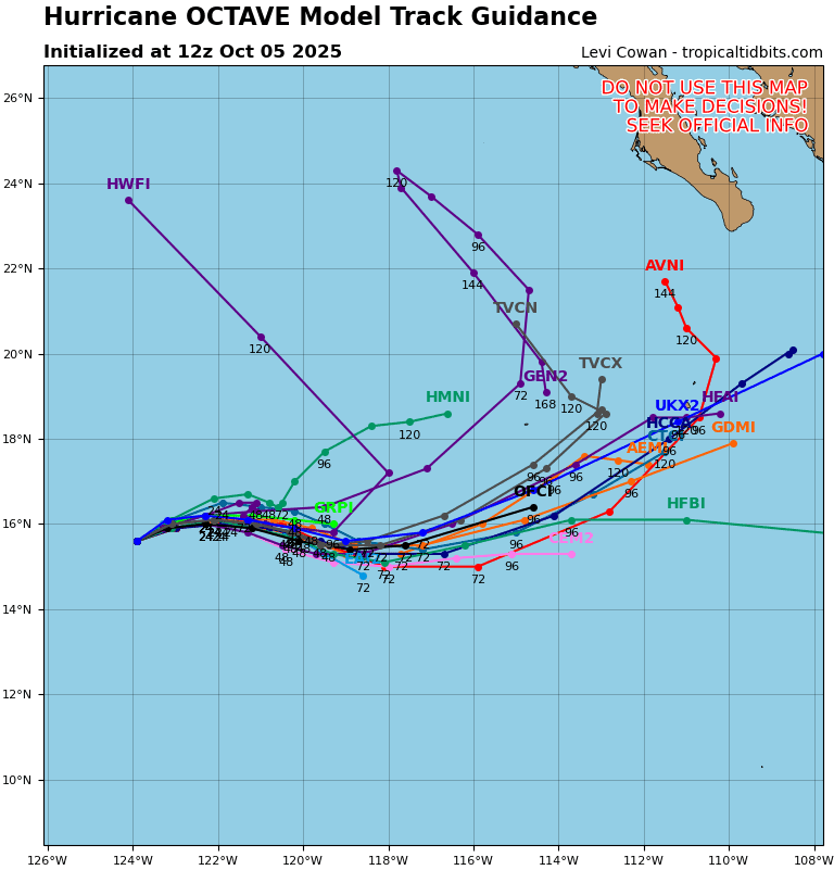
15E_tracks_latest
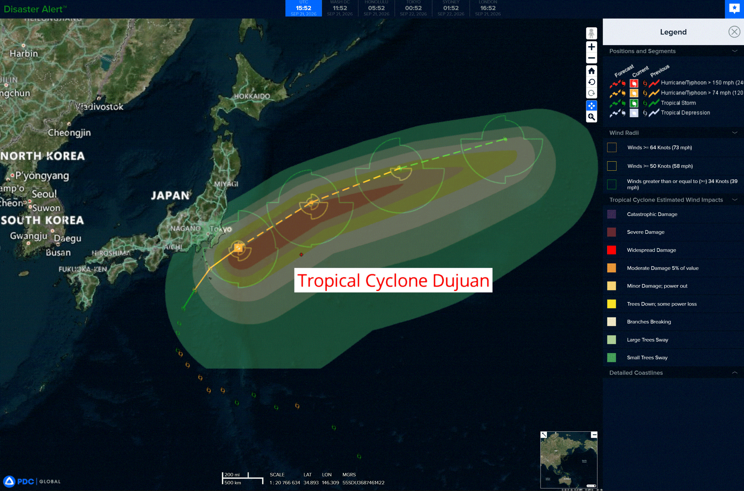
dujuan
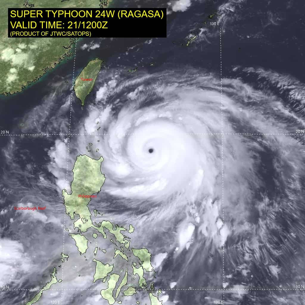
24W_211200sair
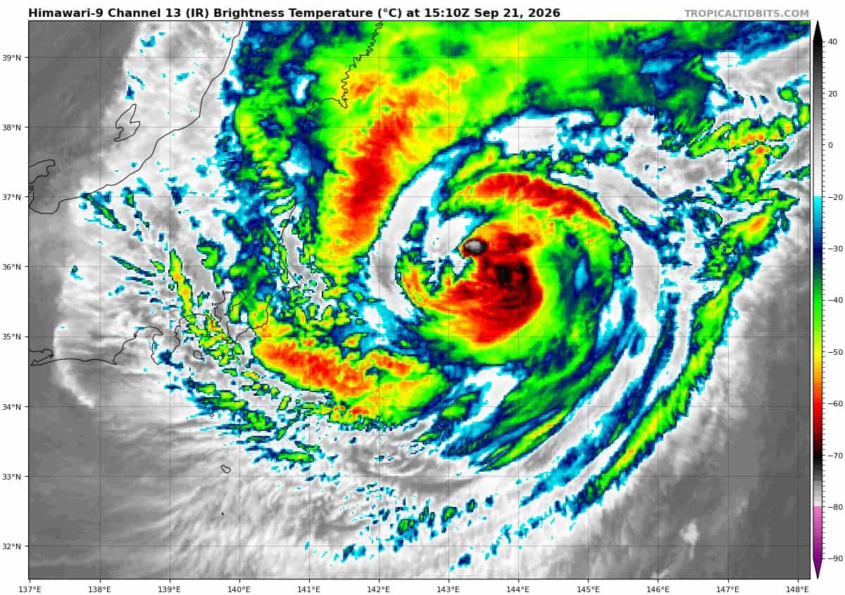
himawari9_ir_24W_202609211510_lat34.9-lon141.8
24W_gefs_latest
91w
himawari9_ir_91W_202609211540_lat11.8-lon142.3

91W_tracks_latest
By PDC’s Senior Weather
Specialist Glenn James

The Pacific Disaster Center’s (PDC Global) Monday, September 21, 2026, Tropical Cyclone Activity Report…for the Pacific Ocean, the Indian Ocean, and adjacent Seas.
Tropical Cyclones
Tropical Cyclone 16E (Odalys) is located about 1415 miles west-southwest of the southern tip of Baja California
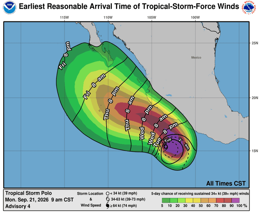
Tropical Cyclone 17E (Polo) is located about 255 miles south-southeast of Manzanillo, Mexico
Tropical Cyclone 24W (Dujuan) is located approximately 106 NM east-southeast of Yokosuka, Japan
Northeast Pacific:
Tropical cyclone 16E (Odalys)
ODALYS LIKELY TO REMAIN OVER OPEN WATERS DURING THE NEXT SEVERAL DAYS
According to the NHC advisory number 6
Odalys is moving toward the northwest near 12 mph, and this motion is expected to continue through tonight. An eastward turn is forecast on Tuesday, followed by a gradual turn toward the east-northeast by midweek, and toward the northeast by the end of the week.
Maximum sustained winds are near 45 mph with higher gusts. Gradual strengthening is expected, and Odalys is forecast to become a hurricane by mid-week.
Tropical-storm-force winds extend outward up to 80 miles from the center.
The estimated minimum central pressure is 1003 mb (29.62 inches).
Tropical cyclone 17E (Polo)
POLO RAPIDLY INTENSIFYING OFFSHORE OF MEXICO
According to the NHC advisory number 4
Polo is moving toward the east near 5 mph (7 km/h). A slow eastward or southeastward motion is expected through tonight. However, a sharp turn toward the west-northwest or northwest is expected by late Tuesday. On the forecast track, the core of Polo is expected to be near the coast of southwestern Mexico during the next few days.
Maximum sustained winds have increased to near 65 mph (100 km/h) with higher gusts. Polo is expected to continue to rapidly intensify, becoming a hurricane by this afternoon and a major hurricane on Tuesday, with further intensification likely though midweek.
Tropical-storm-force winds extend outward up to 70 miles (110 km) from the center.
The estimated minimum central pressure is 997 mb (29.44 inches).
HAZARDS AFFECTING LAND
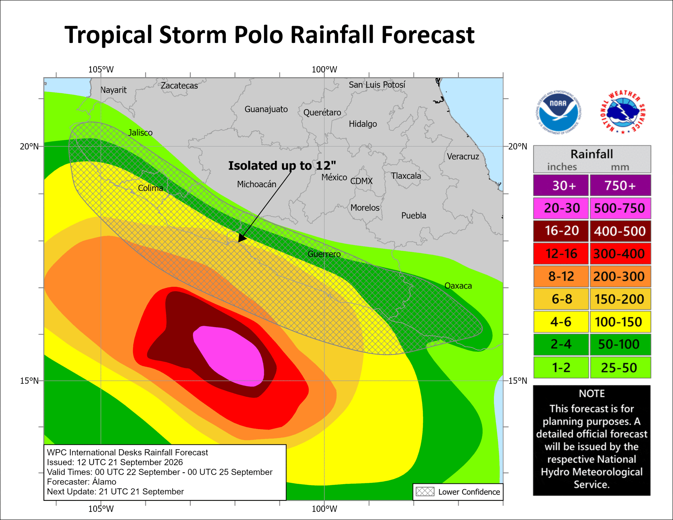
RAINFALL: Polo is expected to produce rainfall totals of 4 to 8 inches, with isolated maximum totals up to 12 inches across coastal portions of the Mexican states of Guerrero and Michoacán through Thursday. This rainfall may produce life-threatening flooding and mudslides, especially in areas of steep terrain. Rainfall of 3 to 6 inches is possible in coastal portions of Oaxaca, Colima, and Jalisco through Thursday.
SURF: Swells generated by Polo are expected to begin affecting portions of the coast of southwestern Mexico on Tuesday. These swells are likely to cause life-threatening surf and rip current conditions.
Central North Pacific: There are no Tropical Cyclones
>>> East-southeast of the Hawaiian Islands:
(Former TD 15E)
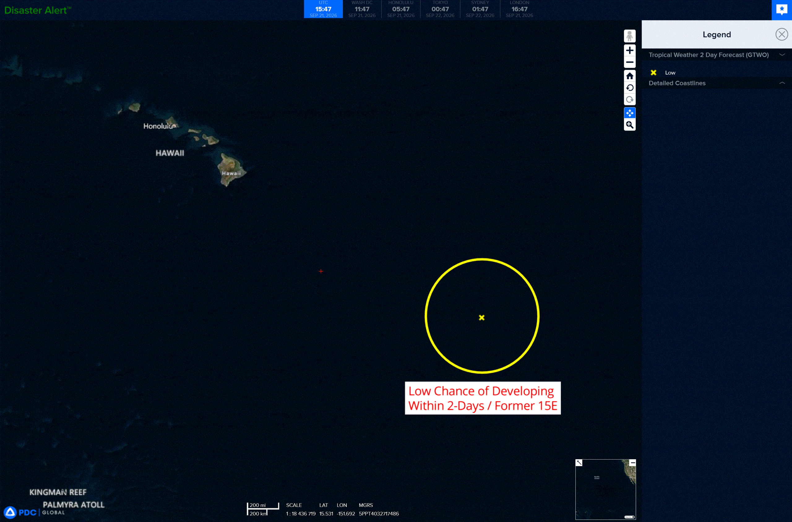
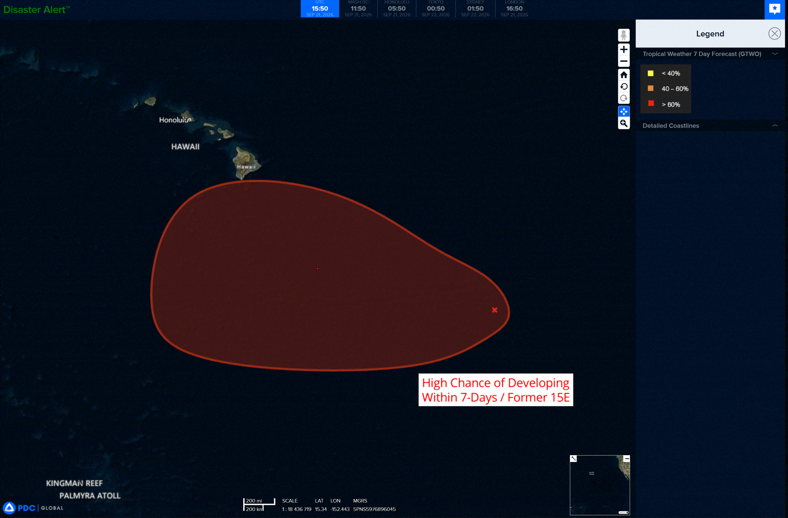
Showers and thunderstorms have increased in association with the remnants of Tropical Depression Fifteen-E, located several hundred miles to the east-southeast of the Hawaiian Islands.
Environmental conditions are forecast to become more conducive for development of this system by the middle to latter portion of this week, and a tropical depression is likely to form by that time to the south or southeast of the Hawaiian Islands as the system moves generally westward at 10 to 15 mph.
* Formation chance through 48 hours…high…70 percent
* Formation chance through 7 days…high…90 percent
Western Pacific, Indian Ocean, and adjacent Seas:
Western Pacific
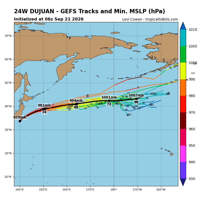
Tropical Cyclone 24W (Dujuan)
According to the JTWC warning number 25…sustained winds were 70 knots with gusts to 85 knots
Animated enhanced infrared (eir) satellite imagery depicts typhoon 24W (Dujuan) accelerating rapidly northeastward under the
influence of a subtropical ridge centered to the east-southeast.
Environmental conditions have degraded since the closest point of approach (cpa) to mainland Japan within the last 6 hours, but an extremely robust poleward outflow channel can still be easily identified. Land interaction has disrupted convective banding over the northwestern quadrant, an effect amplified by persistent dry-air advection from the west, while southwesterly vertical wind shear (vws) remains moderate to high at 20-25 kts. Following a brief period of slightly cooler water influence, the vortex is now located directly over the warm (28-29 c) tail end of the Kuroshio current, which is assisting with minor reconsolidation.
The system has likely reached its peak intensity of 70-75 kts within a marginally conducive synoptic regime, nurtured by a strong poleward exhaust pathway and transient sheltering from hostile entrainment.
TY Dujuan is forecast to continue rapidly propagating along a northeastward translation vector flanking the subtropical ridge (str) anchored to the southeast. TY Dujuan is currently traversing the thermally conducive tail end of the Kuroshio Current before transitioning over drastically colder sea surface temperature (sst) fields.
Post 12 hours, thermodynamic sustainability collapses as relentless dry-air advection and destructive vws exceeding 30 kts will signal the onset of extratropical transition (ett). Upon confluence with the strong mid-latitude baroclinic zone and a powerful westerly jet stream aloft, the cyclone will complete ett by the end of the current forecast timeframe.
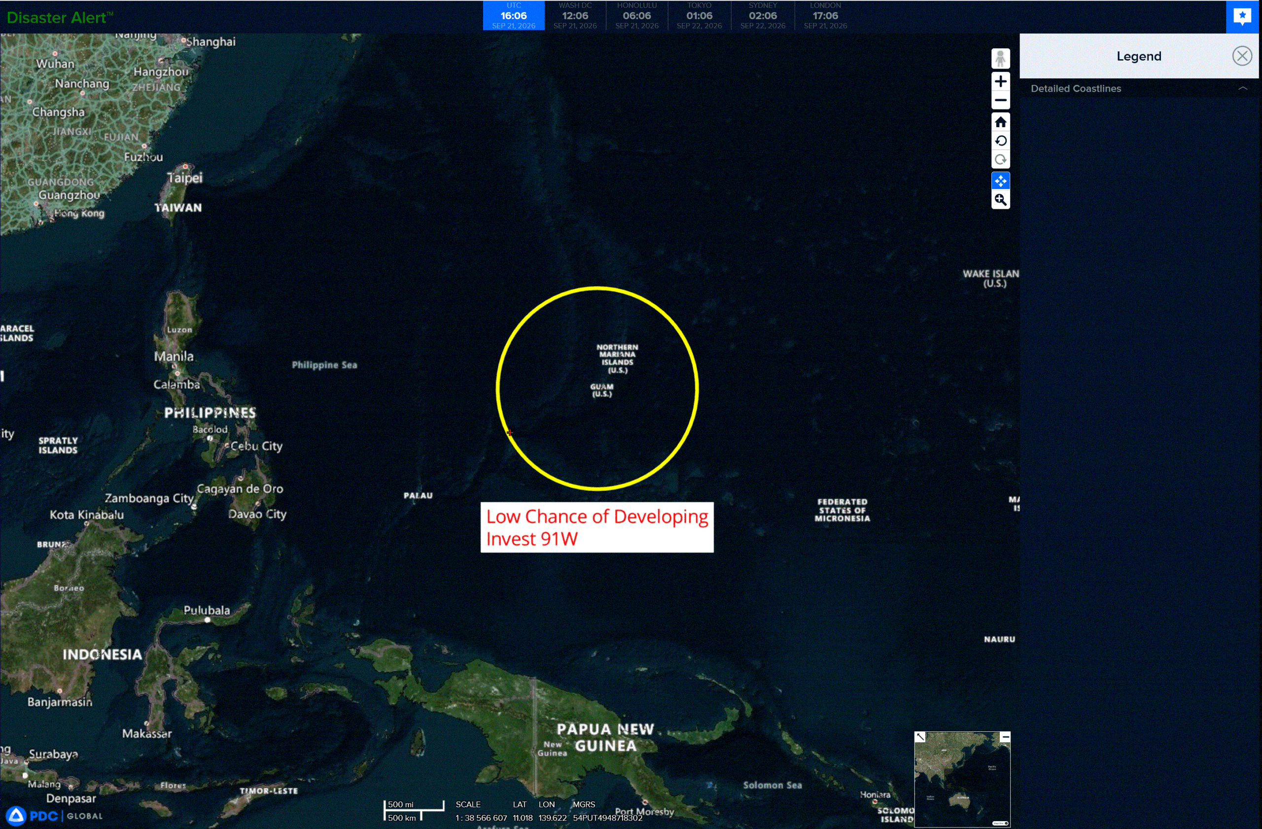
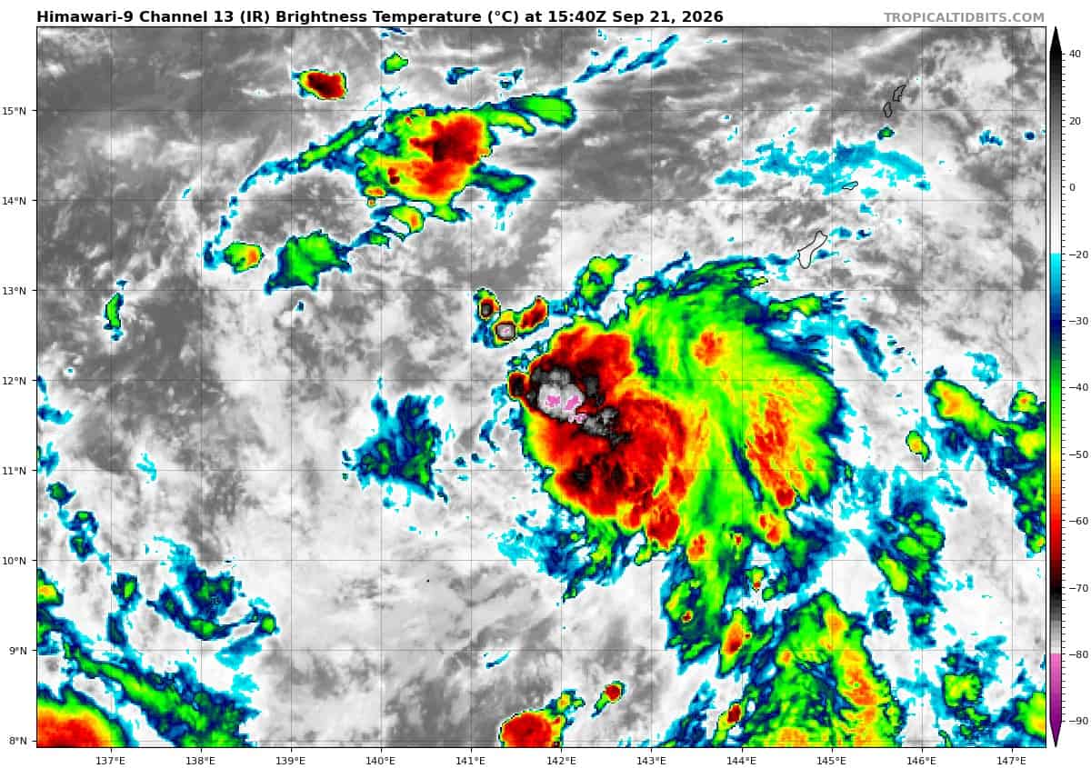
>>> There’s an area of disturbed weather that’s being referred to as Invest 91W, which is located approximately 127 NM south of Guam
Animated multi-spectral satellite imagery (msi) depicts 91W as a broad low level turning with disorganized convection.
Environmental analysis reveals favorable conditions for development with low vertical wind shear (15 knots or less), good upper-level diffluent outflow, and warm (29-30 c) sea surface temperatures.
Global models are in general consensus on steady intensification within 48 hours with a northwestward track.
Maximum sustained surface winds are estimated at 13 to 18 knots.
Minimum sea level pressure is estimated to be near 1008 mb.
The potential for the development of a significant tropical cyclone within the next 24 hours remains low.
>>> There’s an area of disturbed weather that’s being referred to as Invest 95B, which is located approximately 180 NM east of Visakhapatnam, India
Maximum sustained surface winds are estimated at 22 to 28 knots.
Minimum sea level pressure is estimated to be near 1002 mb.
The potential for the development of a significant tropical cyclone within the next 24 hours is medium