

Current Snapshot
For all the latest updates visit: DisasterAWARE
1800x1080e
fay
goes18_ir_16E_202609201415_lat11.1-lon-125.2
201455_earliest_reasonable_toa_34
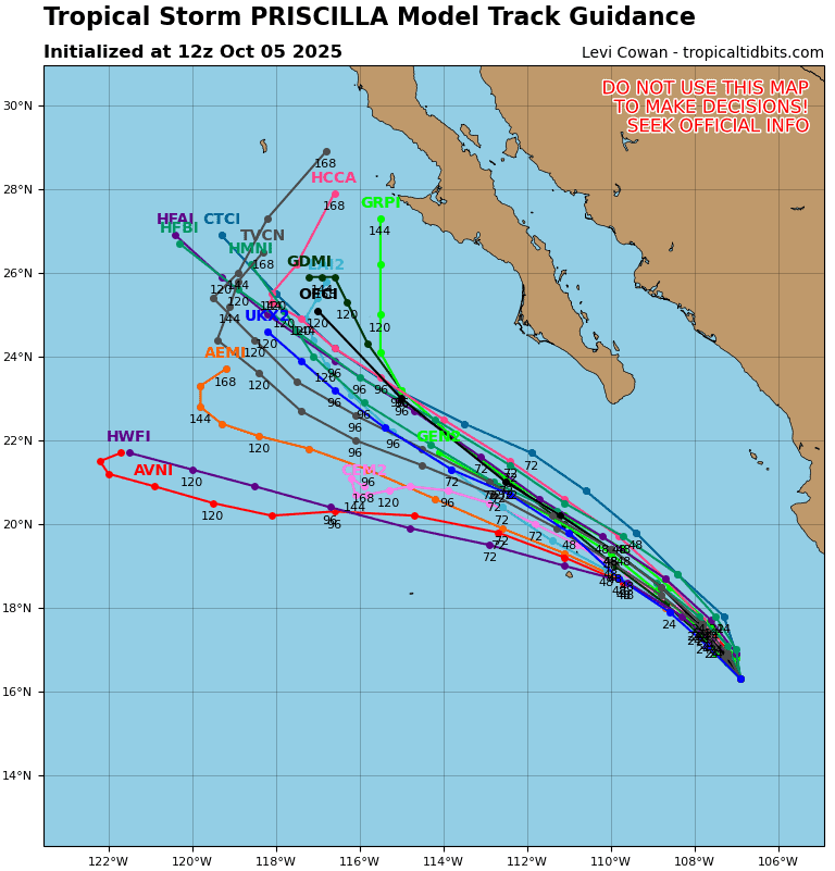
16E_tracks_latest
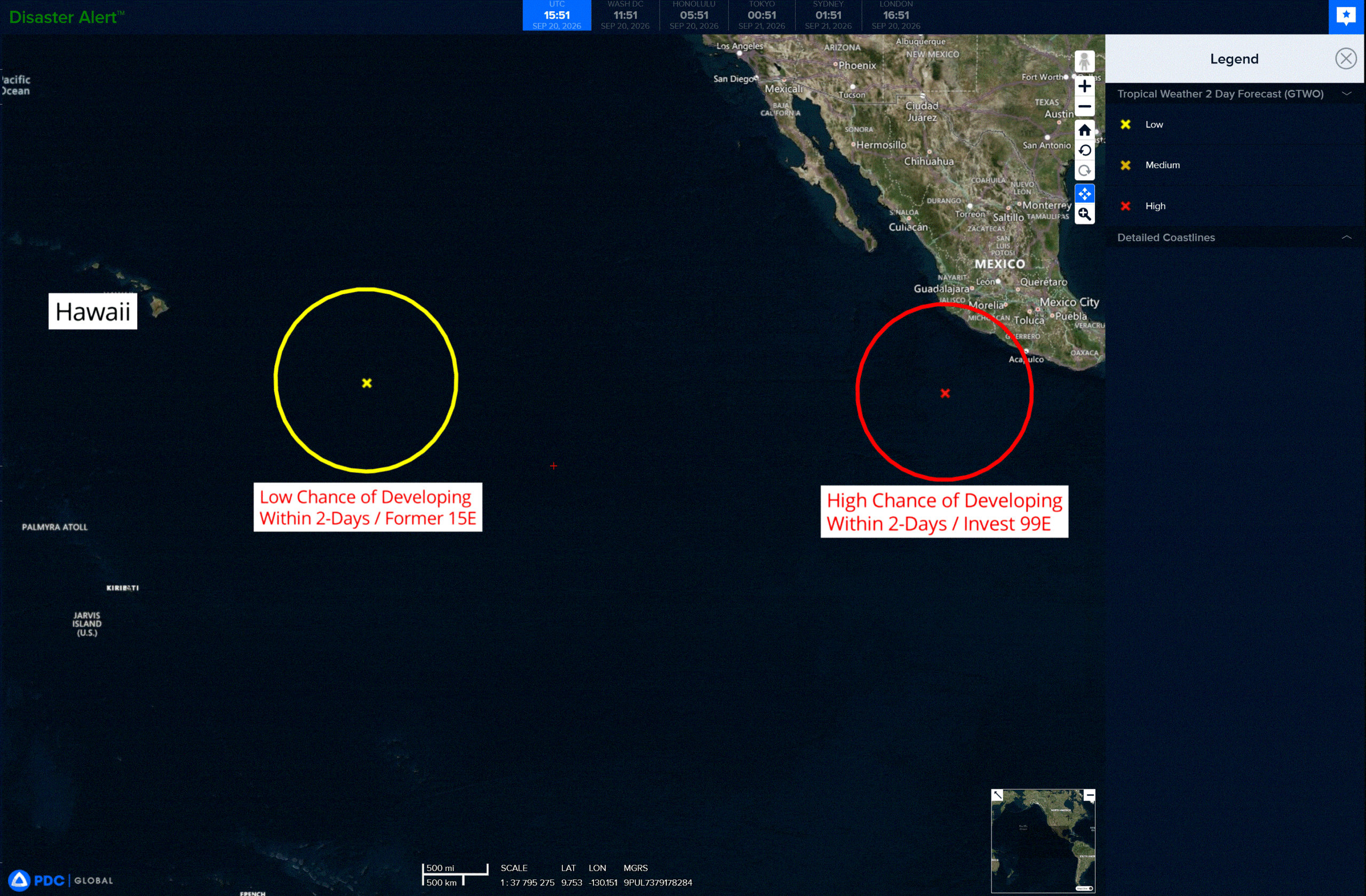
2e
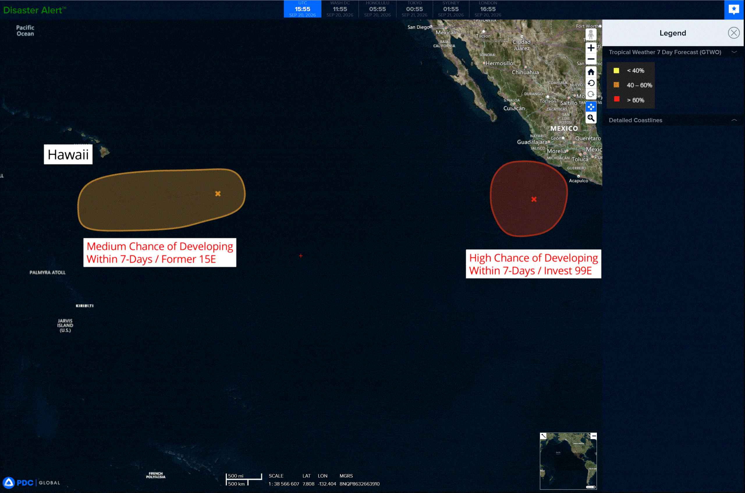
7e
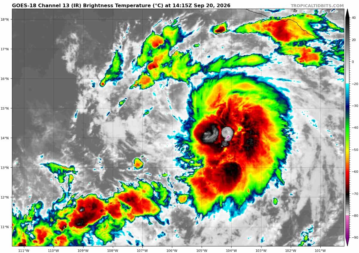
goes18_ir_99E_202609201415_lat14.0-lon-105.9

99E_tracks_latest
goes18_ir_15E_202609201415_lat14.3-lon-142.3
15E_tracks_latest
dujuan
24W_201200sair
himawari9_ir_24W_202609201410_lat30.4-lon137.6
24W_tracks_latest
By PDC’s Senior Weather
Specialist Glenn James

The Pacific Disaster Center’s (PDC Global) Sunday, September 20, 2026, Tropical Cyclone Activity Report…for the Pacific Ocean, the Indian Ocean, and adjacent Seas.
Tropical Cyclones
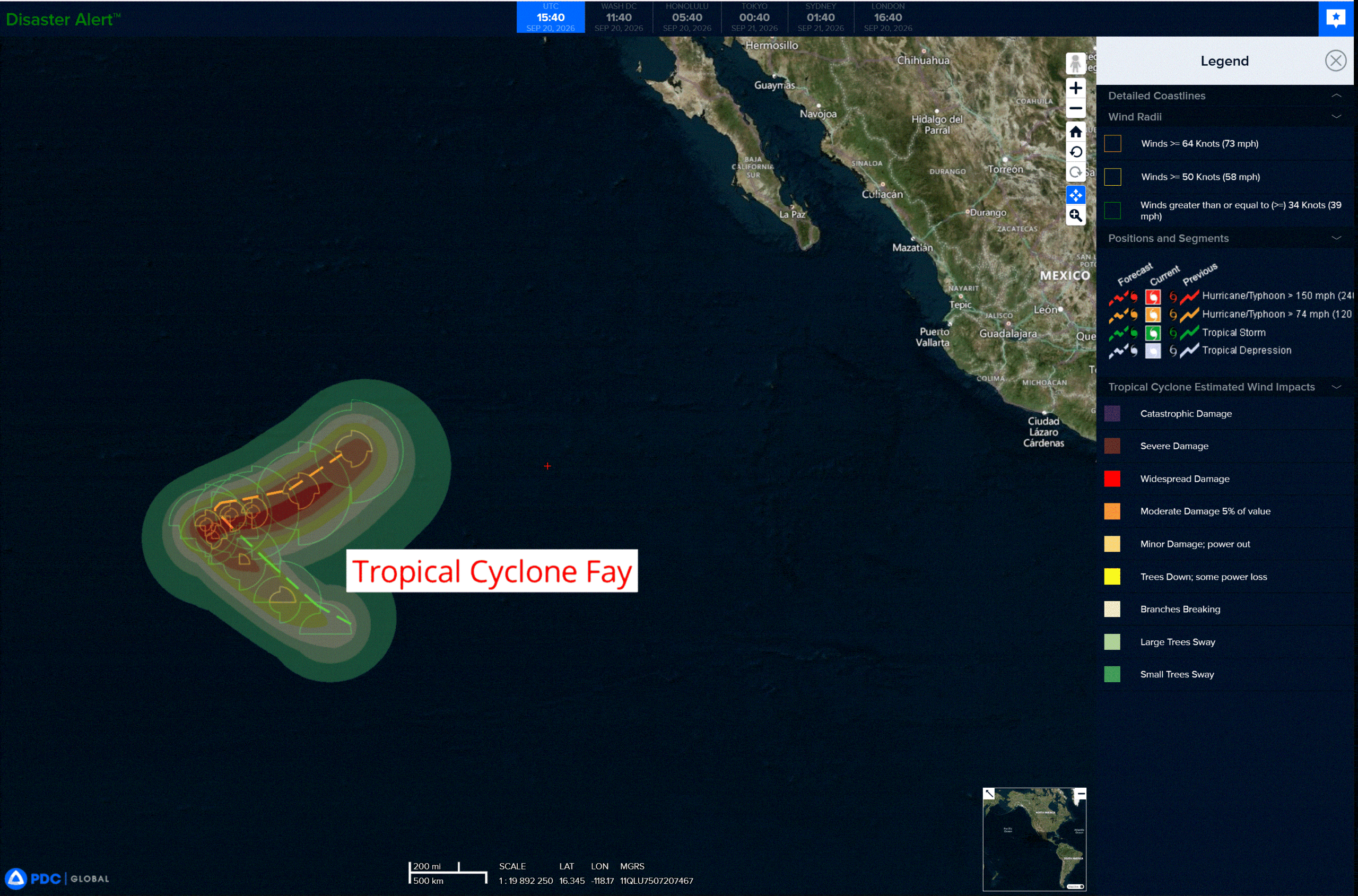
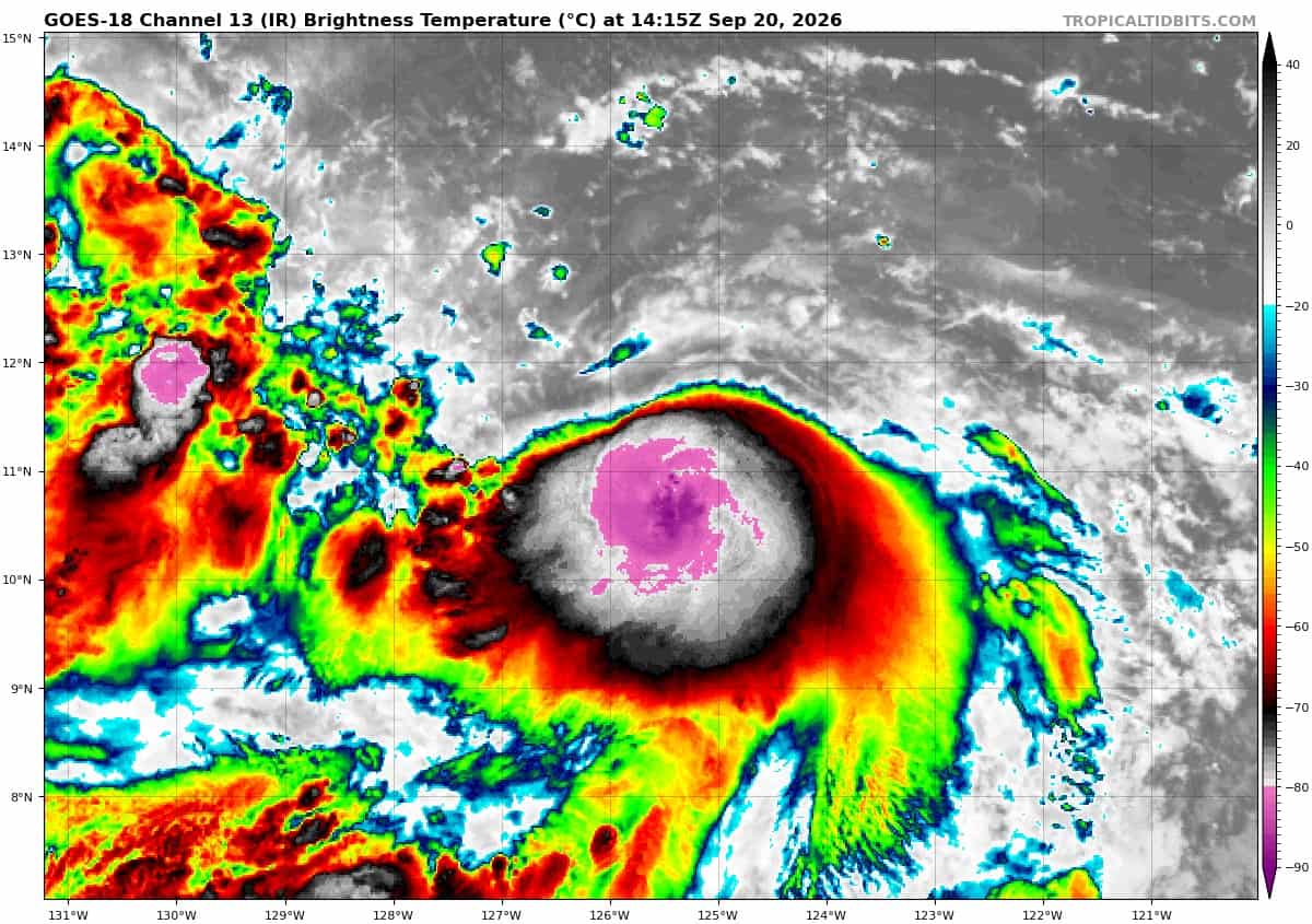
Tropical Cyclone 16E (Odalys) is located about 1345 miles west-southwest of the southern tip of Baja California
Tropical Cyclone 17E (Polo) is located about 285 miles south of Manzanillo, Mexico
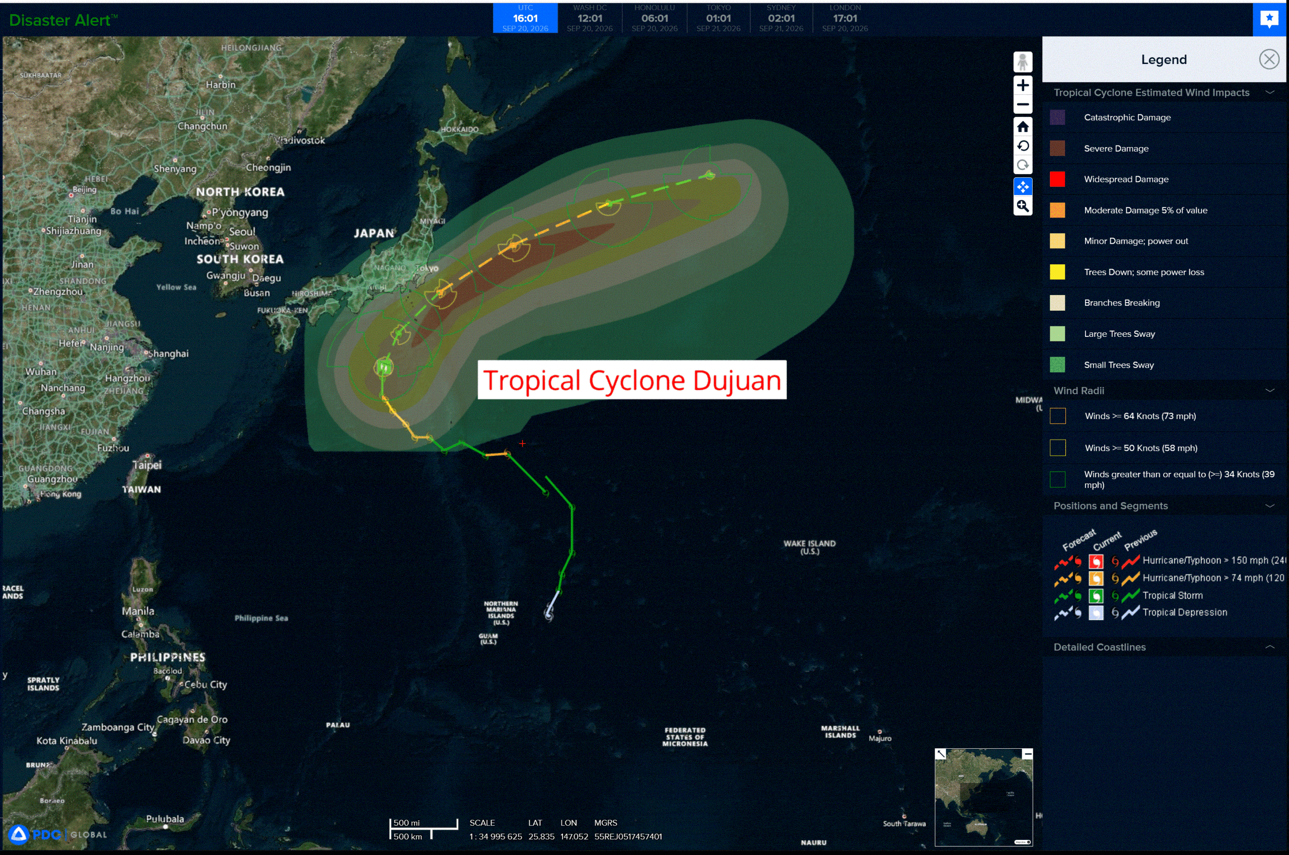
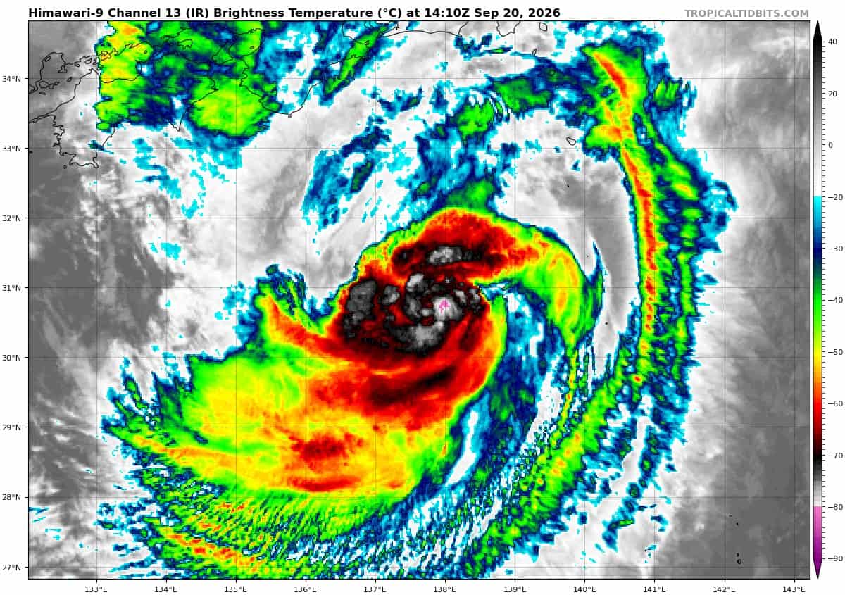
Tropical Cyclone 24W (Dujuan) is located approximately 256 NM south-southwest of Yokosuka, Japan
Northeast Pacific:
Tropical cyclone 16E (Odalys)
ODALYS EXPECTED TO BECOME A HURRICANE IN A DAY OR SO
According to the NHC advisory number 3
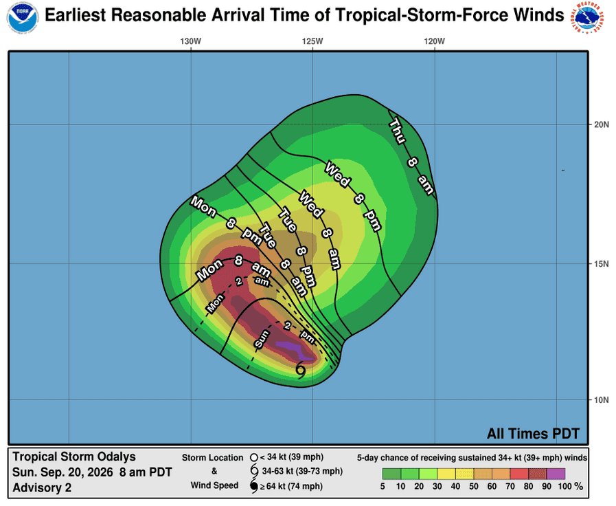
Odalys is moving toward the west-northwest near 10 mph (17 km/h), and a turn to the northwest is expected later today followed by a turn to the east on Tuesday. A gradual turn toward the east-northeast is expected by the middle part of the week followed by a turn toward the northeast by the end of the week. Maximum sustained winds have increased to near 50 mph (85 km/h) with higher gusts. Continued gradual strengthening is expected during the next 48 hours, and Odalys is forecast to become a hurricane by Monday. Tropical-storm-force winds extend outward up to 70 miles (110 km) from the center. The estimated minimum central pressure is 1002 mb (29.59 inches).
Tropical cyclone 17E (Polo)
NEW TROPICAL DEPRESSION DEVELOPS TO THE SOUTH OF MEXICO
According to the NHC advisory number 1
The depression is moving toward the north-northeast near 8 mph (13 km/h), and a turn toward the east is expected on Tuesday, followed by a decrease in forward speed and a turn toward the north and northwest on Wednesday. Maximum sustained winds are near 35 mph (55 km/h) with higher gusts. Significant strengthening is forecast, and the system is forecast to become a tropical storm by Monday and a hurricane by Tuesday. The estimated minimum central pressure is 1007 mb (29.74 inches).
HAZARDS AFFECTING LAND
RAINFALL: The depression is expected to produce rainfall totals of 4 to 8 inches, with isolated maximum totals up to 12 inches across coastal portions of the Mexican states of Michoacán, Colima, and Jalisco through Thursday. This rainfall may produce life-threatening flooding and mudslides, especially in areas of steep terrain.
Central North Pacific: There are no Tropical Cyclones
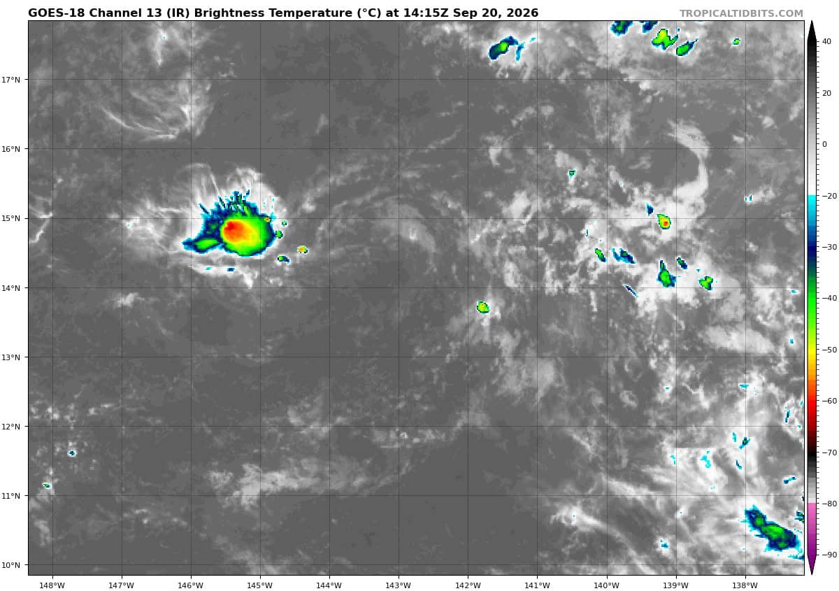
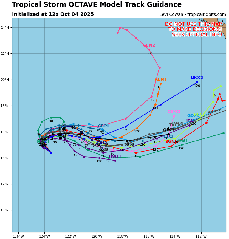
>>> Well East-southeast of the Hawaiian Islands:
(Former TD 15E)
Showers and thunderstorms associated with the remnants of Tropical Depression 15E, located well east-southeast of the Hawaiian Islands, remain limited.
Environmental conditions appear conducive for some development of this system by the middle to latter portion of this week as it moves westward to west-southwestward, and a tropical depression could form to the south or southeast of the Hawaiian Islands once the environment becomes more favorable.
* Formation chance through 48 hours…low…near 0 percent
* Formation chance through 7 days…high…70 percent
Western Pacific, Indian Ocean, and adjacent Seas:
Western Pacific
Tropical Cyclone 24W (Dujuan)
According to the JTWC warning number 22…sustained winds were 60 knots with gusts to 75 knots
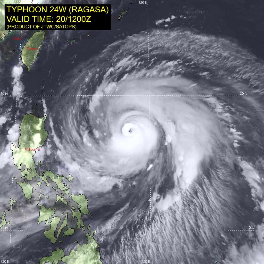
Animated enhanced infrared (eir) satellite imagery depicts tropical storm 24W (Dujuan) struggling to consolidate its deep convection, as a significant amount of dry air is being injected into the core of the vortex. The system maintains a tight low-level circulation center (llcc), which is identified with high confidence utilizing satellite imagery and extrapolation from a 200855z wsfm mwi 37 ghz microwave pass.
The poleward outflow channel remains robust, sea surface temperatures (sst) are warm (28-29 c), and vertical wind shear (vws) is low (10-15 kts).
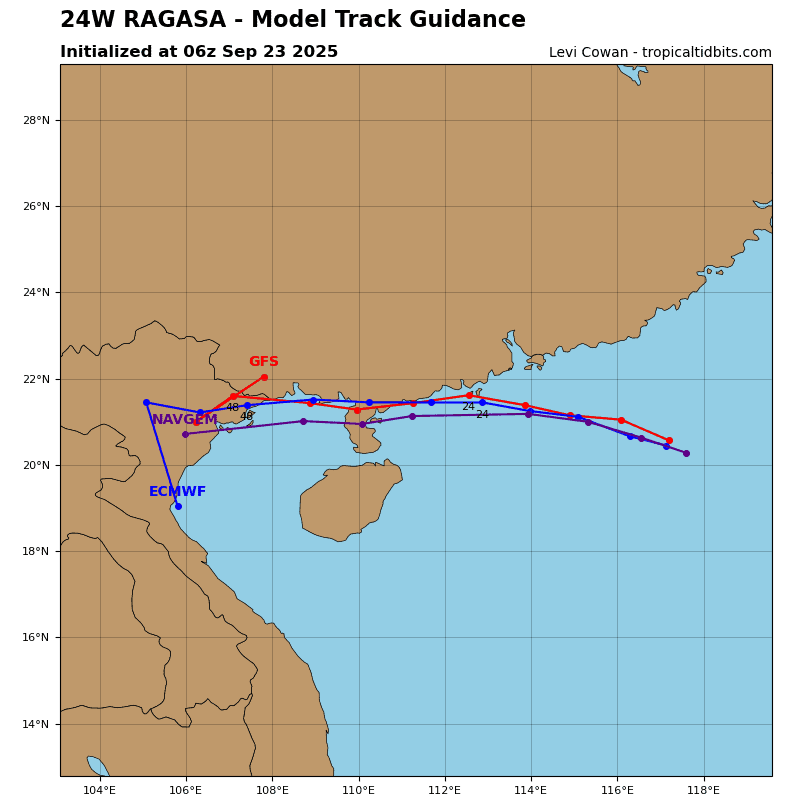
The translation vector of TS 24W is expected to continue turning toward the northeast within the coming 12 hours and throughout the current forecast period, as the cyclone transits along the northwestern periphery of the str anchored to the east. The closest point of approach (cpa) to Yokosuka, Japan, is estimated at 80 nm, coinciding with the timeline just before 24 hours.
Between 24 and 36 hours, slight dynamic deepening to a peak intensity of 70 kts is projected under a marginally favorable environment, aided by the cyclone temporarily cocooning from hostile dry air while propagating over the tail end of the warm Kuroshio Current and harnessing enhanced poleward outflow dynamics.
Shortly after, however, the onset of extratropical transition (ett) will emerge as waters sharply cool, hostile dry-air entrainment intensifies, and vertical wind shear accelerates to 30+ kts around 48 hours. Integrating rapidly into the mid-latitude westerlies, TS Dujuan will complete the transition prior to 60 knots.
>>> There’s an area of disturbed weather that’s being referred to as Invest 91W, which is located approximately 128 NM south of Andersen AFB, Guam
Maximum sustained surface winds are estimated at 13 to 18 knots.
Minimum sea level pressure is estimated to be near 1008 mb.
The potential for the development of a significant tropical cyclone within the next 24 hours is low.