

Current Snapshot
For all the latest updates visit: DisasterAWARE
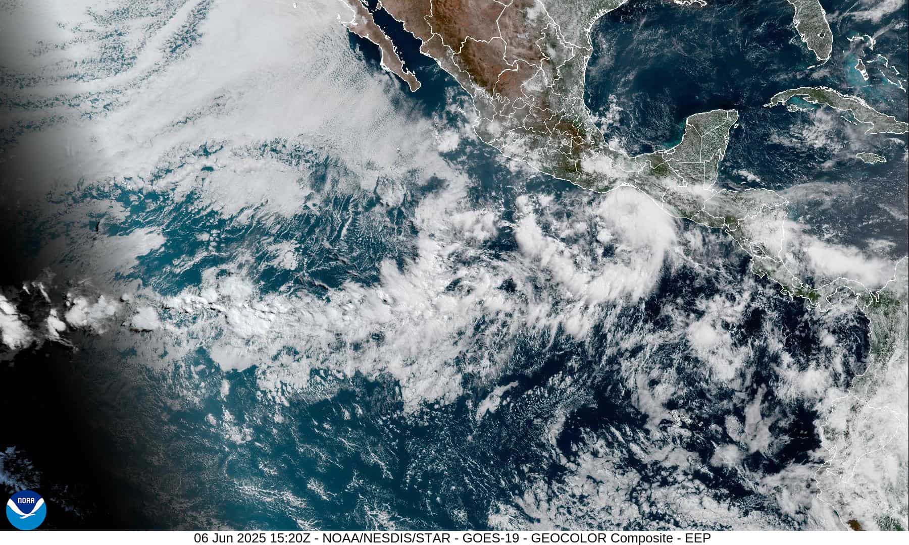
1800x1080e
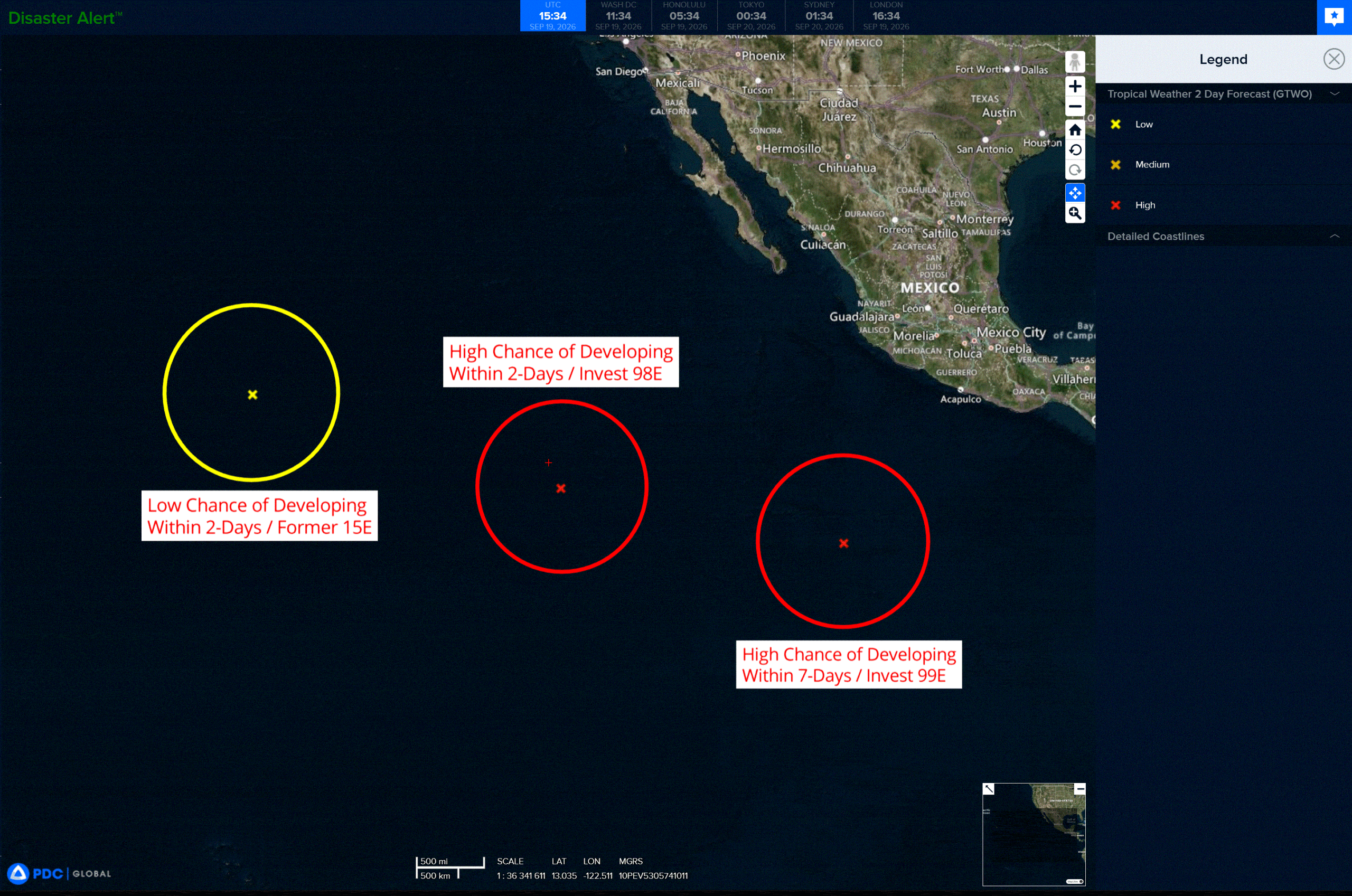
2e
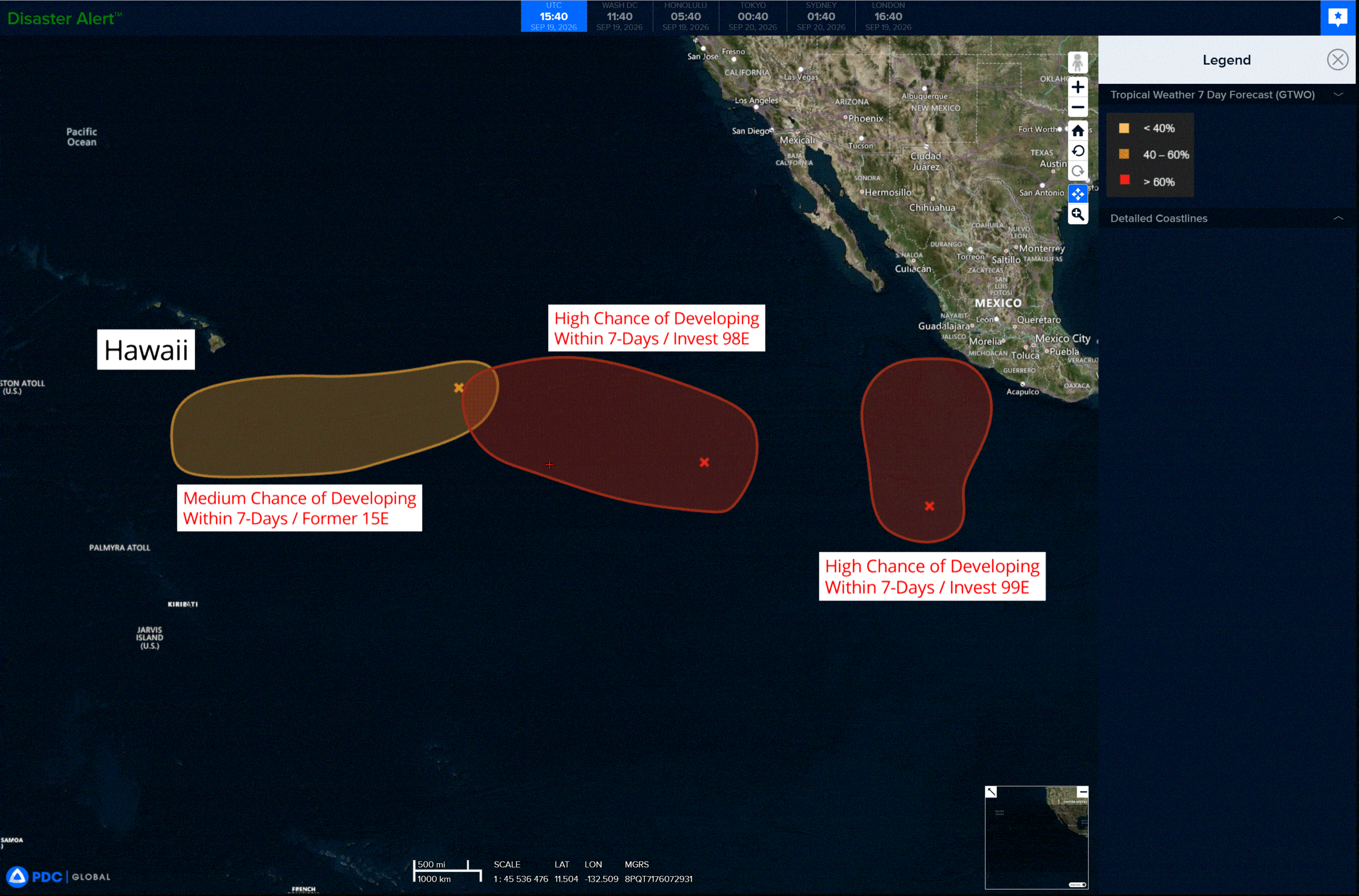
7e
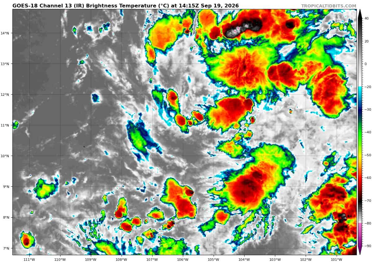
goes18_ir_99E_202609191415_lat10.3-lon-105.9

99E_tracks_latest
goes18_ir_98E_202609191415_lat11.4-lon-121.5

98E_tracks_latest
goes18_ir_15E_202609191415_lat16.6-lon-139.7
15E_tracks_latest
1800x1080ec
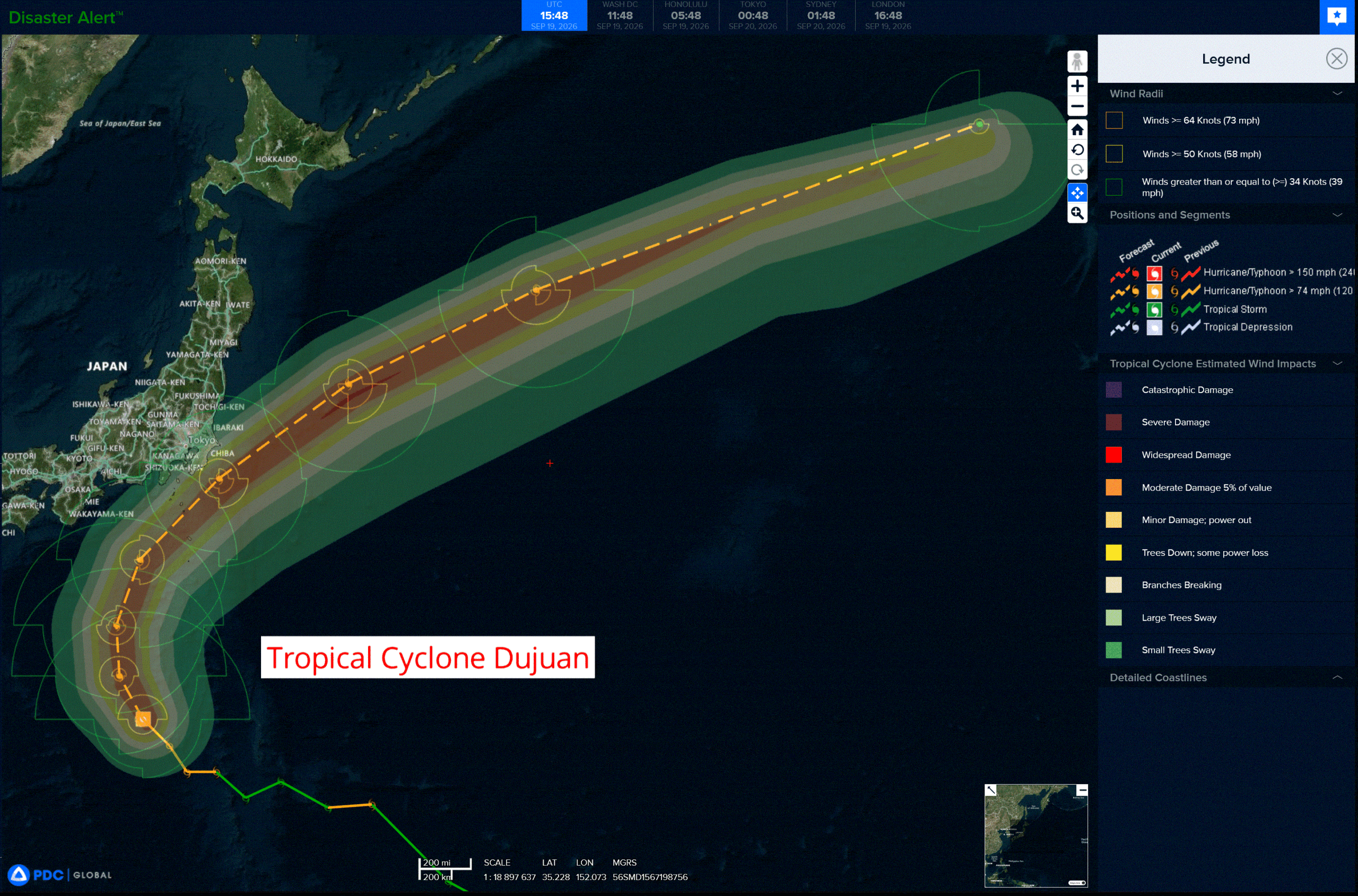
dujuan
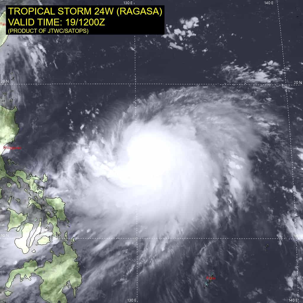
24W_191200sair
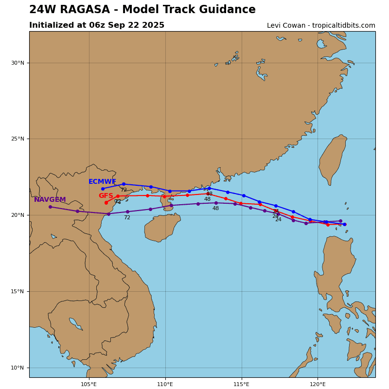
24W_tracks_latest
By PDC’s Senior Weather
Specialist Glenn James

The Pacific Disaster Center’s (PDC Global) Saturday, September 19, 2026, Tropical Cyclone Activity Report…for the Pacific Ocean, the Indian Ocean, and adjacent Seas.
Tropical Cyclones
Tropical Cyclone 24W (Dujuan) is located about 456 NM south of Yokosuka, Japan
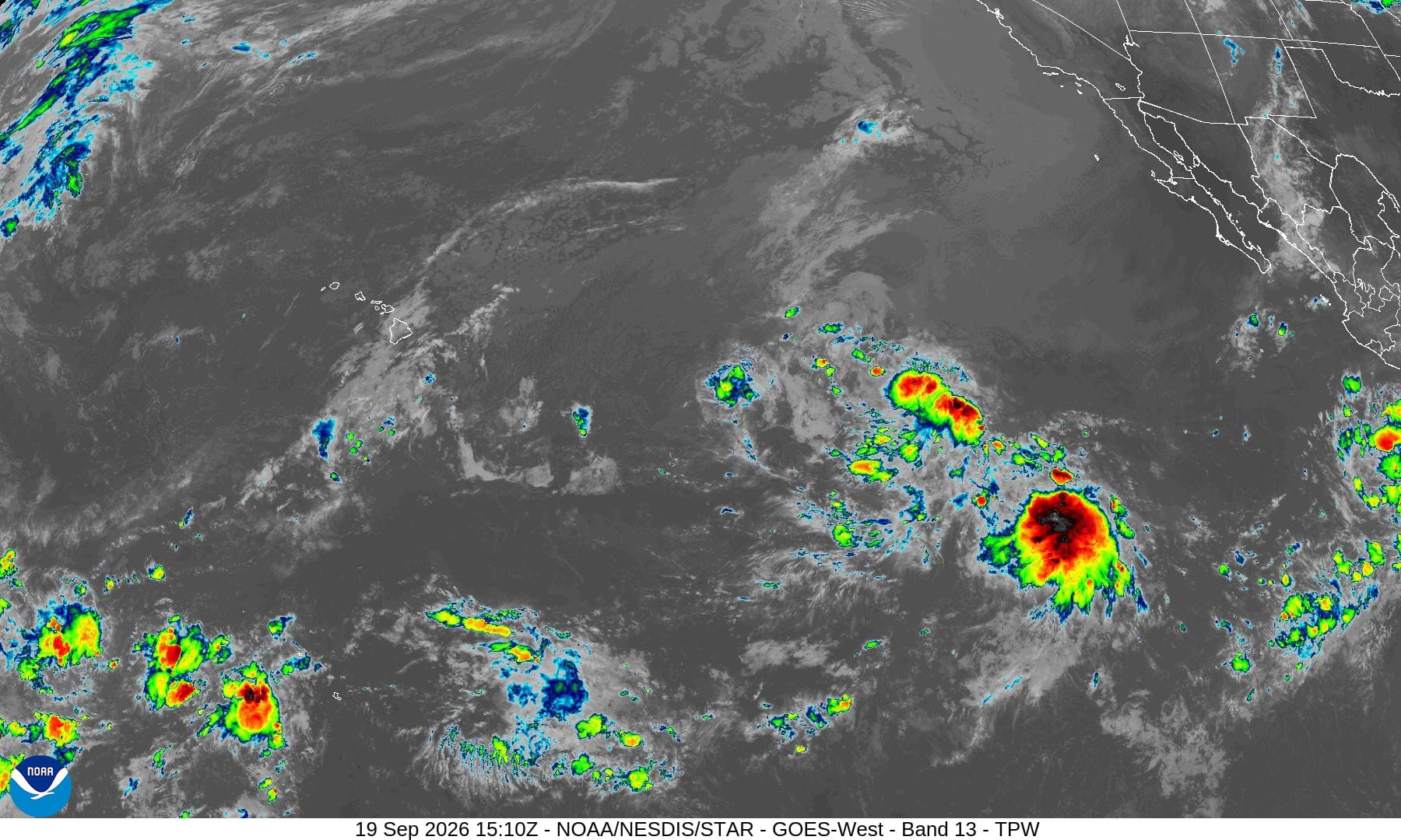
Northeast Pacific: There are no Tropical Cyclones
South-southwest of Southwestern Mexico:
Invest 99E
>>> Recent satellite-derived wind data show that the area of low pressure located well south-southwest of the southwestern coast of Mexico is still elongated, and the shower and thunderstorm activity remains disorganized. However, environmental conditions are conducive for development, and a tropical depression is expected to form over the next couple of days as the system moves generally northward off the coast of southwestern Mexico. Interests along the southwestern and west-central coast of Mexico should monitor the progress of this system.
* Formation chance through 48 hours…high 80 percent
* Formation chance through 7 days…high…90 percent
Western East Pacific:
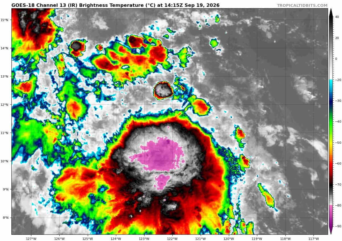
Invest 98E
>>> Disorganized showers and thunderstorms continue to persist in association with an area of low pressure located well southwest of the southern tip of the Baja California Peninsula. Environmental conditions are conducive for development, and a tropical depression is expected to form over the next several days as it moves westward to west-northwestward at 10 to 15 mph across the western East Pacific.
* Formation chance through 48 hours…high…80 percent
* Formation chance through 7 days…high…80 percent
>>> Well East-Southeast of the Hawaiian Islands:
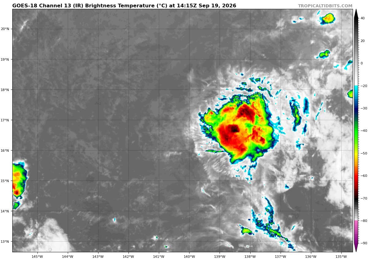
(Former TD 15E)
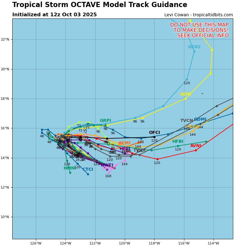
>>> Showers and thunderstorms associated with the remnants of Tropical Depression Fifteen-E, located well east of the Hawaiian Islands, remain disorganized. Environmental conditions appear conducive for some development of this system next week as it moves westward to west-southwestward, and a tropical depression could form well to the south or southeast of the Hawaiian Islands towards the middle to latter portion of next week.
* Formation chance through 48 hours…low…10 percent
* Formation chance through 7 days…medium…50 percent
Central North Pacific: There are no Tropical Cyclones
Western Pacific, Indian Ocean, and adjacent Seas:
Western Pacific
Tropical Cyclone 24W (Dujuan)
According to the JTWC warning number 17
Animated enhanced infrared (eir) satellite imagery depicts spiral bands of deep convection wrapping into the compact inner core of typhoon 24W (Dujuan). dry air entrainment is present nearly fully encompassing the broader circulation, significantly impacting the ability of the system to intensify.
A marginally favorable environment is characterized by an excellent poleward exhaust channel and benign vertical wind shear
(vws) of 10-15 kts in tandem with conducive sea surface temperatures (sst) of 28-29 c.
TY Dujuan is propagating along the southwestern periphery of a subtropical ridge (str) anchored to the northeast. The cyclone is forecast to round the str axis within the next 24 hours, initiating a recurvature vector toward the northeast that places the swath of strongest winds to the southeast of mainland Japan.
Through 36 hours, the maximum sustained wind speed will hover near 65 kts within a marginally conducive synoptic environment. slight dynamic re-deepening is feasible shortly after, assisted by an accelerated poleward outflow flux and direct transit over the warm waters of the Kuroshio Current.
Dynamical global model fields indicate the potential for the system to briefly cocoon from the surrounding dry air. Around 60 hours, rapidly cooling sea surface temperatures, increasing entrainment of dry tropospheric air, and significantly escalating vws will depress the vortex into a terminal weakening phase.
Extratropical transition (ett) is anticipated to engage, with the accelerating system completing the transition by 96 hours as it positions itself underneath powerful upper-level westerly jet stream aloft.