
>>> Well Southeast of the Hawaiian Islands:

Tropical Cyclone 14E (Norbert) / Invest 97E / Invest 98W – Pacific
Friday, September 11, 2026
Current Snapshot
For all the latest updates visit: DisasterAWARE
1800x1080ec
norbert
111444_earliest_reasonable_toa_34
goes18_ir_14E_202609111505_lat16.6-lon-124.1
14E_tracks_latest
1800x1080e
2
7
2222
7777
10
By PDC’s Senior Weather
Specialist Glenn James

The Pacific Disaster Center’s (PDC Global) Friday, September 11, 2026, Tropical Cyclone Activity Report…for the Pacific Ocean, the Indian Ocean, and adjacent Seas.
Tropical Cyclones
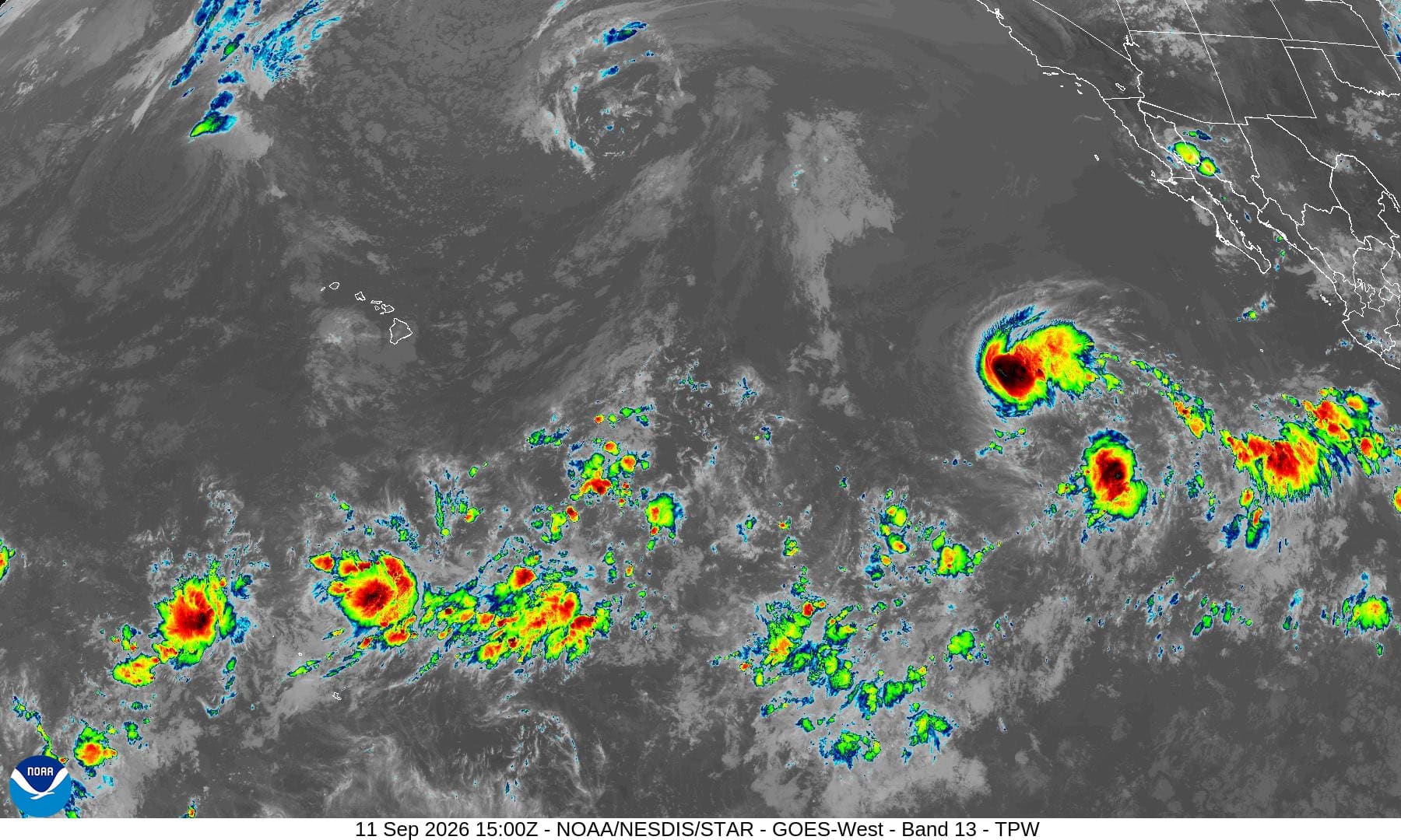
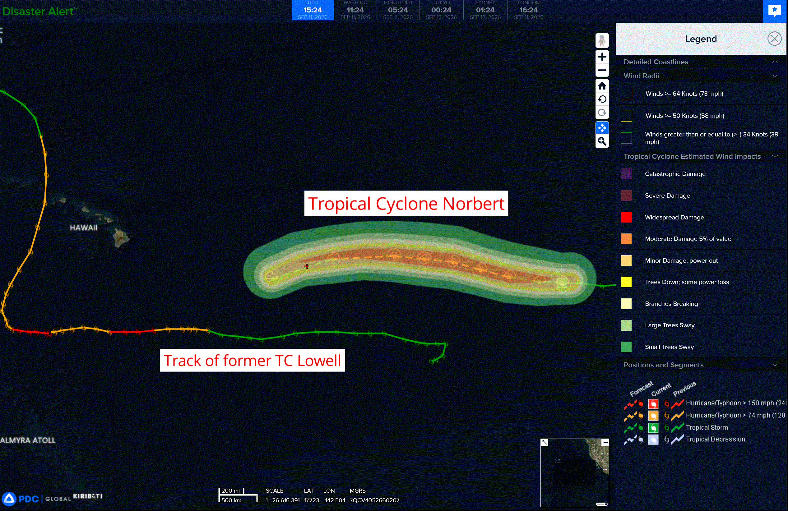
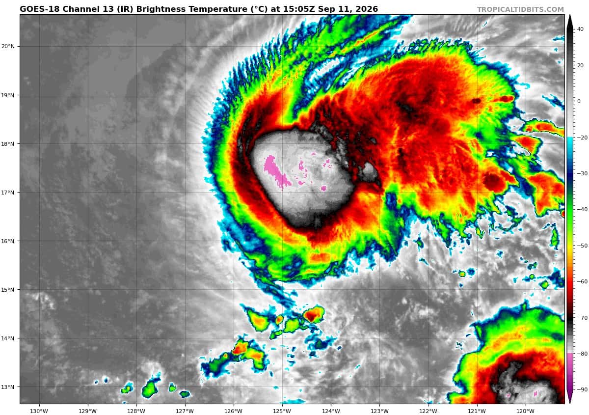
Tropical Cyclone 14E (Norbert) is located about 1055 miles south-southwest of San Diego, CA
Northeast Pacific:
Tropical Cyclone 14E (Norbert)
NORBERT HOLDING STEADY ON A WEST-NORTHWEST TRACK
According to the NHC advisory number 10…
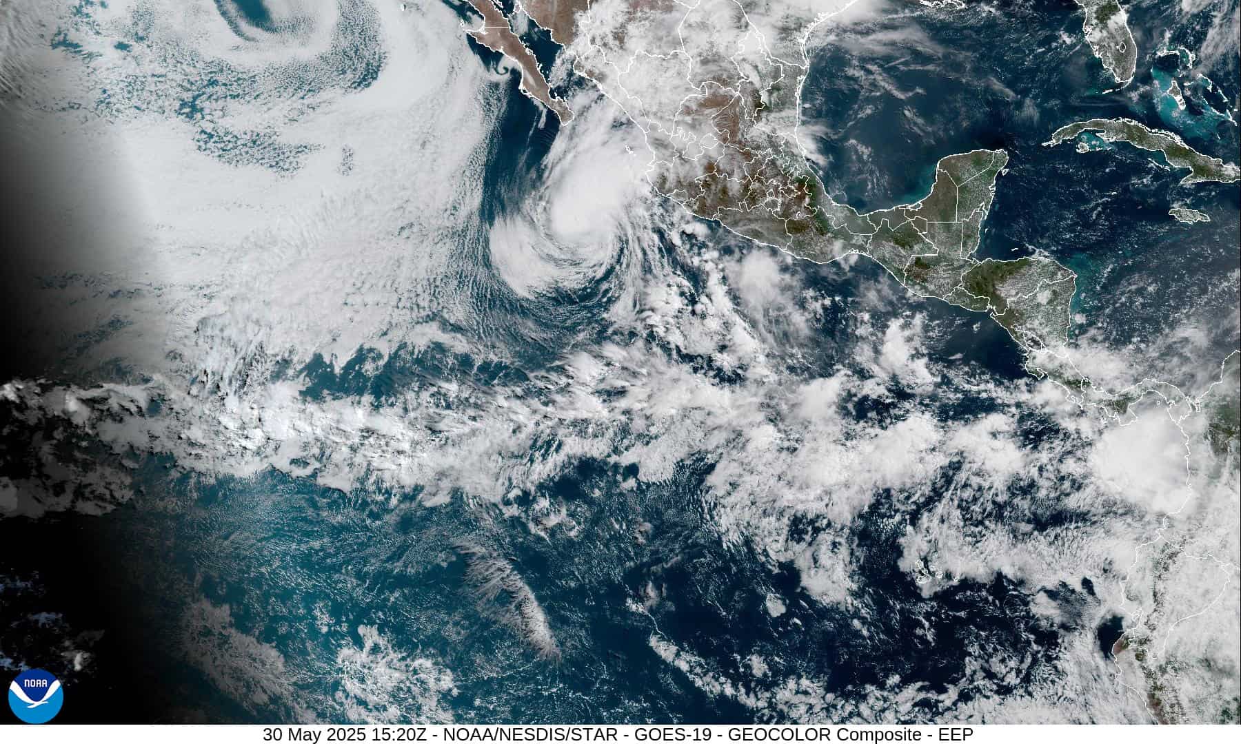
Norbert is moving toward the west-northwest near 12 mph (19 km/h), and this general motion is expected to continue over the next couple of days. Maximum sustained winds are near 65 mph (100 km/h) with higher gusts. Gradual strengthening is forecast over the weekend, and Norbert is forecast to become a hurricane on Saturday. Tropical-storm-force winds extend outward up to 105 miles (165 km) from the center. The estimated minimum central pressure is 996 mb (29.42 inches).
>>> Central and Western East Pacific:
Invest 97E
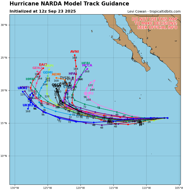
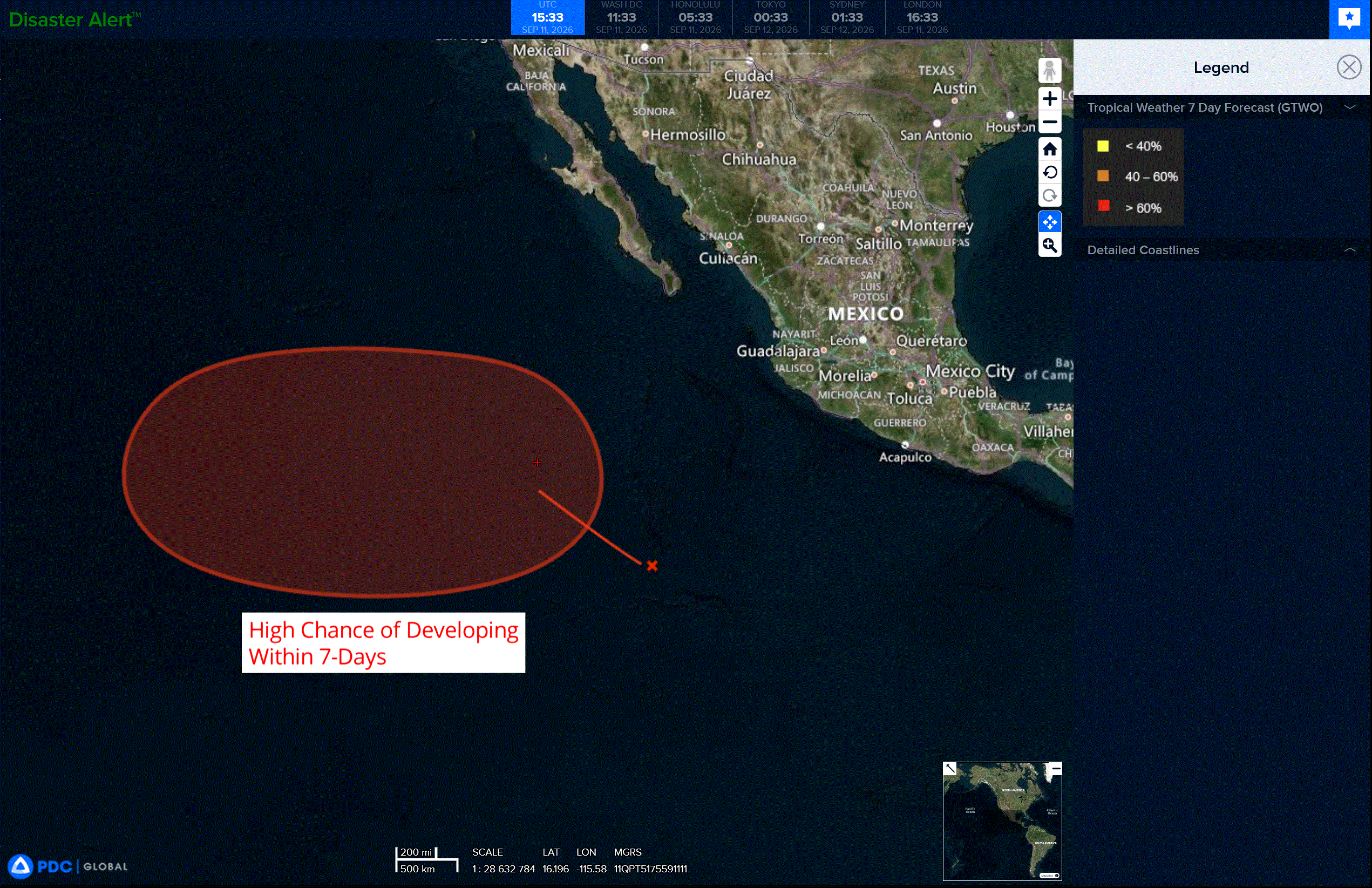
Showers and thunderstorms associated with a broad area of low pressure located several hundred miles southwest of the southwestern coast of Mexico remain disorganized. Environmental conditions are conducive for development, and a tropical depression is expected to form over the weekend while it moves generally west-northwestward to westward over the central and western portions of the eastern Pacific basin.
* Formation chance through 48 hours…high…80 percent
* Formation chance through 7 days…high…90 percent
Central North Pacific: There are no Tropical Cyclones
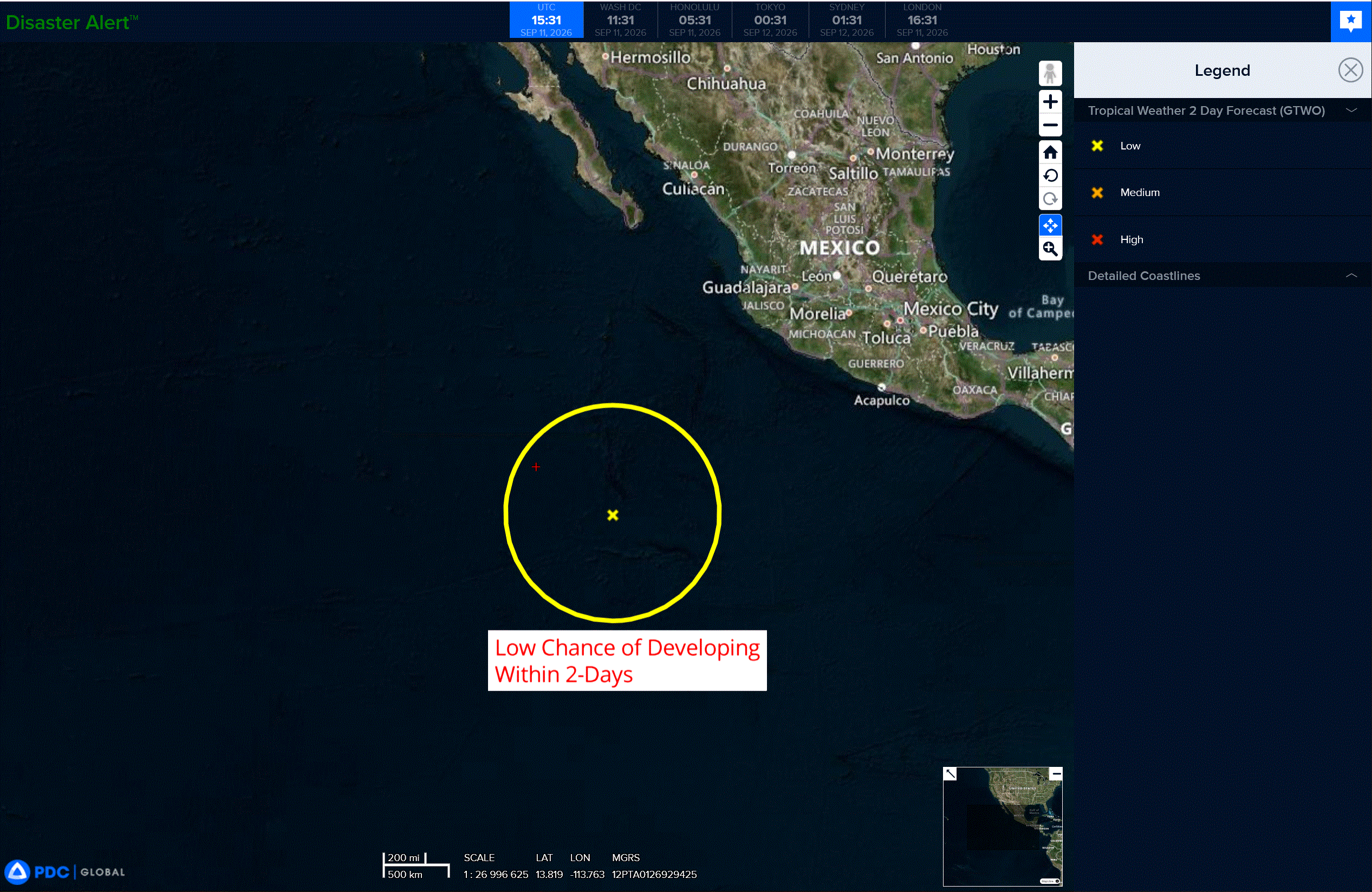
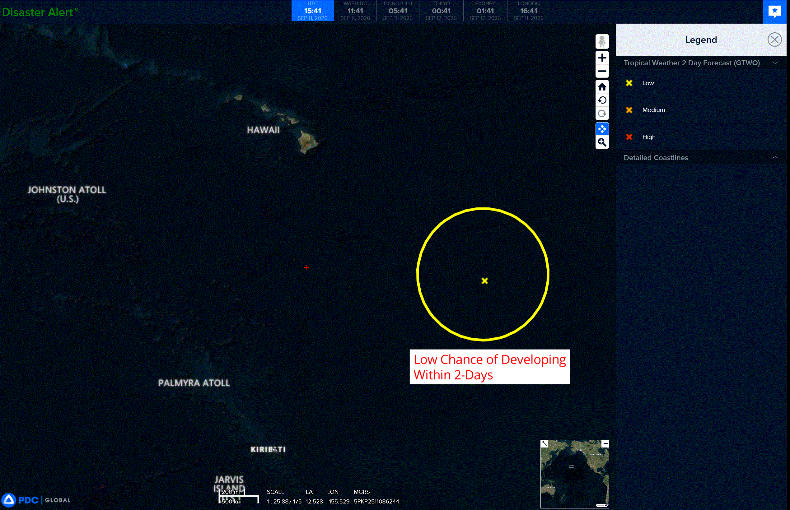
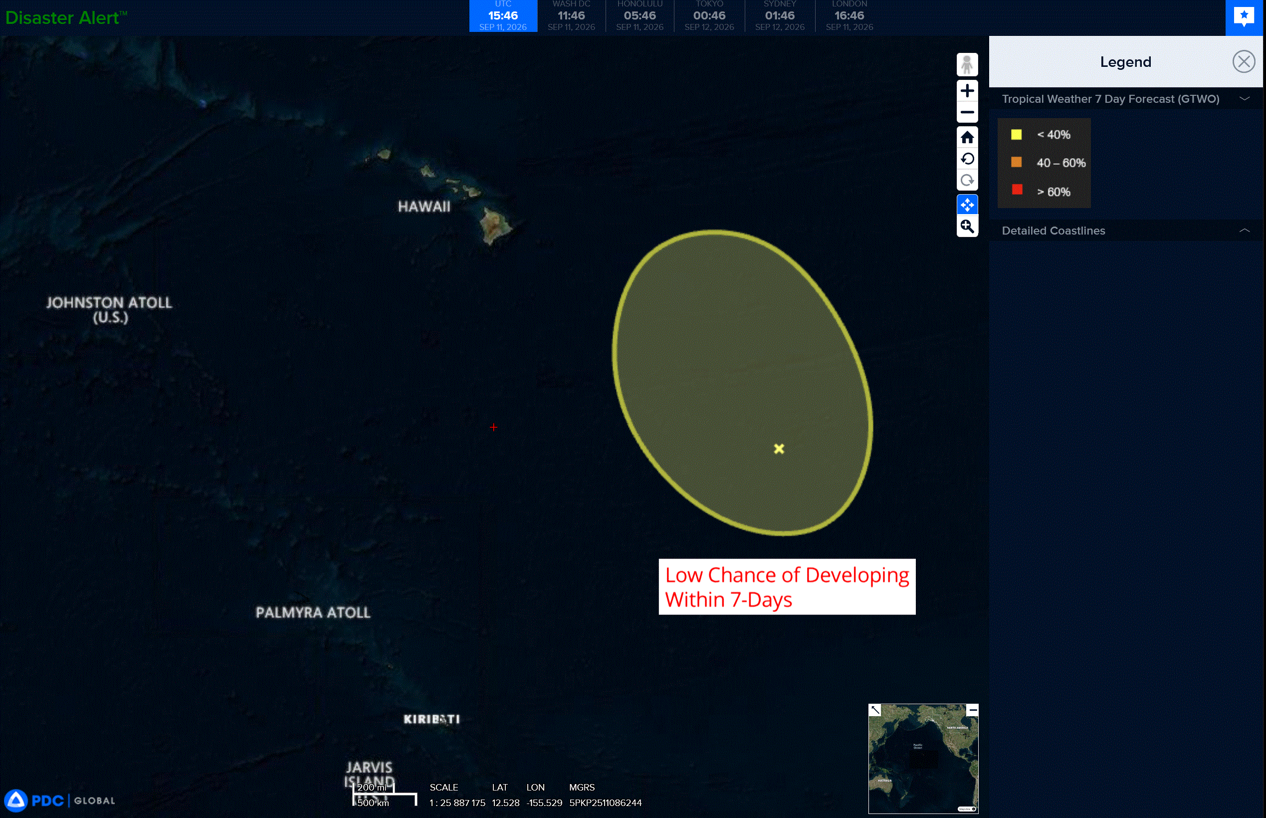
A broad trough of low pressure located several hundred miles southeast of Hilo, Hawaii is producing disorganized showers and thunderstorms. Gradual development of this system is possible during the next few days while it moves generally northwestward and then meanders.
* Formation chance through 48 hours…low…20 percent
* Formation chance through 7 days…low…20 percent
Western Pacific, Indian Ocean, and adjacent Seas: There are no Tropical Cyclones
>>> There’s an area of disturbed weather being referred to as Invest 98W, which is located approximately 147 NM east of Da Nang, Vietnam
Animated multi-spectral satellite imagery (msi) depicts a more consolidated area of rotation with deep convection obscuring the center of the circulation. Additionally, a linear band of convection persists along the northern periphery and is associated with the near gale-force northeasterly wind surge south of Hainan.
The deep convection near the center has spun up a very compact low-level circulation center (llcc), which is also represented on radar imagery. This llcc may be short-lived and shortly become absorbed into the broader circulation.
Current analysis indicates a favorable environment for development with low (10-15kt) vertical wind shear, good westward outflow aloft and overall warm sea surface temperatures (28-30c).
Global deterministic models are in good agreement that 98W will track generally northwestward near or along the coast of Vietnam and flirt with tropical depression status during the next 24-36 hours. There remains uncertainty on whether the broad system can further consolidate despite land interaction before it makes a final landfall and transits inland.
Maximum sustained surface winds are estimated at 23 to 28 knots.
Minimum sea level pressure is estimated to be near 1006 mb.
The potential for the development of a significant tropical cyclone within the next 24 hours remains medium.