
>>> Well South-Southeast of the Hawaiian Islands:

Tropical Cyclone Lowell / Tropical Cyclone 14E / Retiring Tropical Cyclone Krovanh – Pacific
Wednesday, September 9, 2026
Current Snapshot
For all the latest updates visit: DisasterAWARE
1800x1080ec
96e
7e
goes18_ir_96E_202609091515_lat15.4-lon-113.9
96E_tracks_latest
lowell
091439_earliest_reasonable_toa_34
goes18_ir_12E_202609091515_lat27.7-lon-161.7
kro
22W_090600sair
himawari9_ir_22W_202609091520_lat34.8-lon137.8
22W_tracks_latest
By PDC’s Senior Weather
Specialist Glenn James

The Pacific Disaster Center’s (PDC Global) Wednesday, September 9, 2026, Tropical Cyclone Activity Report…for the Pacific Ocean, the Indian Ocean, and adjacent Seas.
Tropical Cyclones
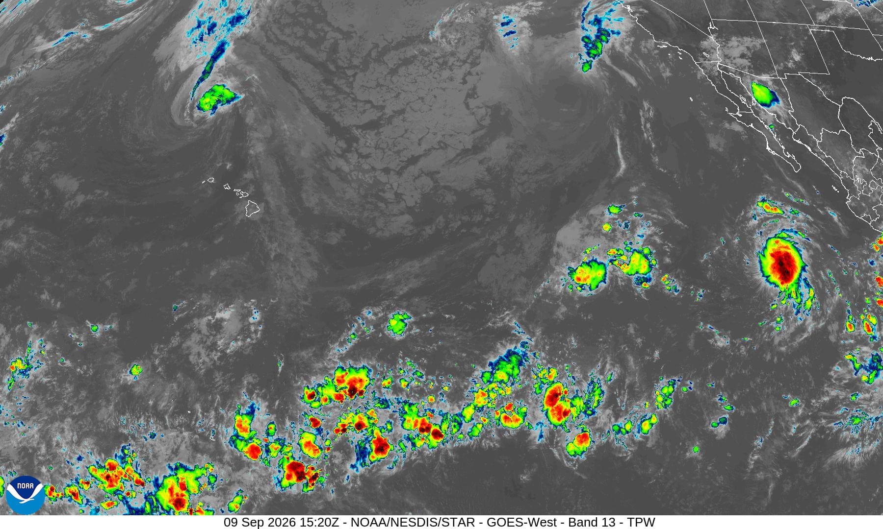
Tropical Cyclone 12E (Lowell) is located about 610 miles northwest of Lihue, Hawaii
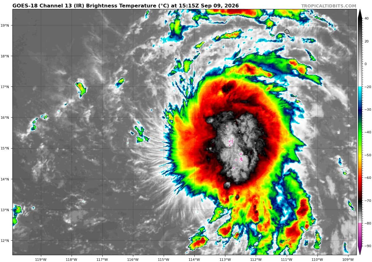
Tropical Cyclone 14E is located about 625 miles southwest of the southern tip of Baja CA
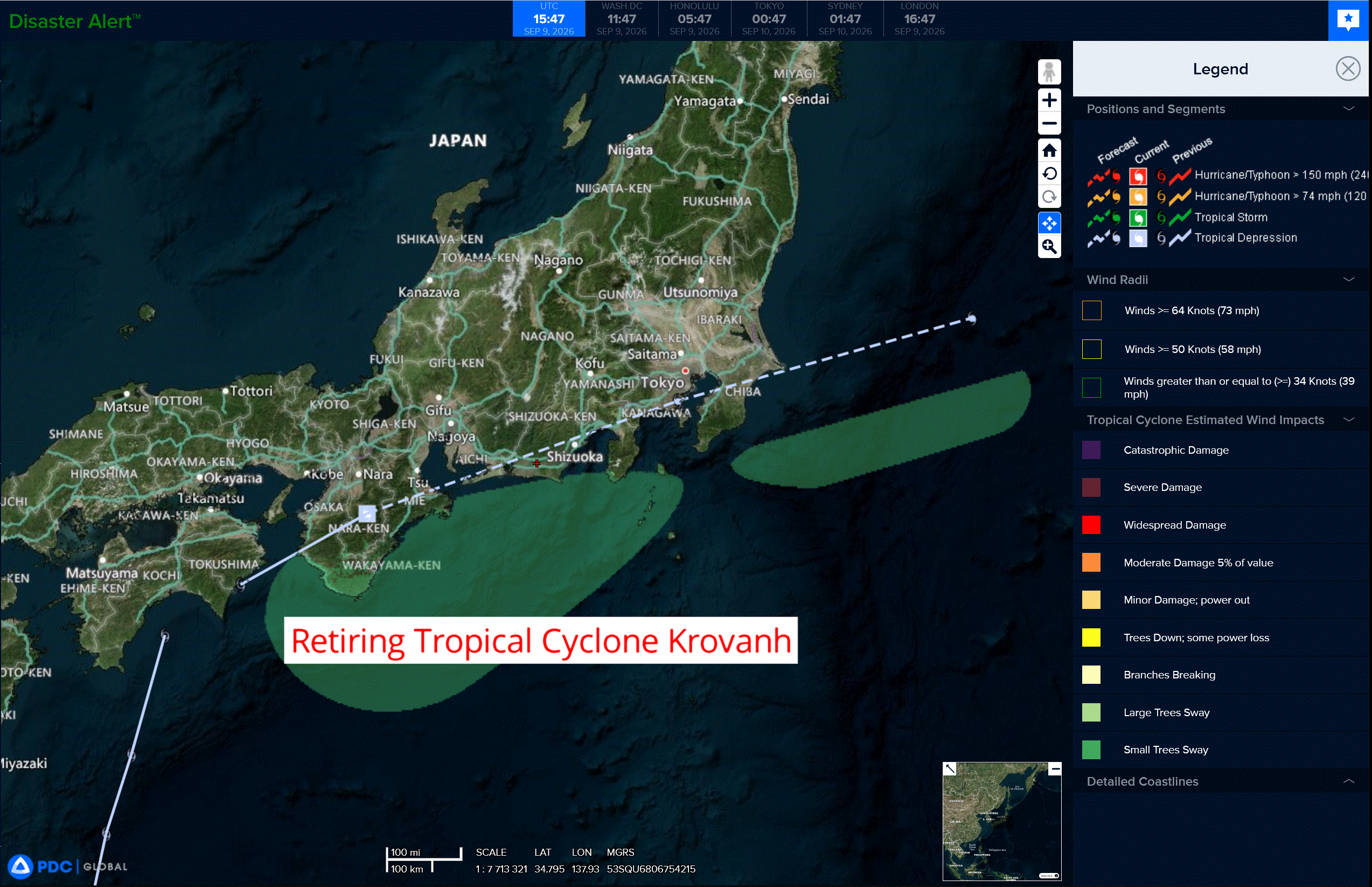
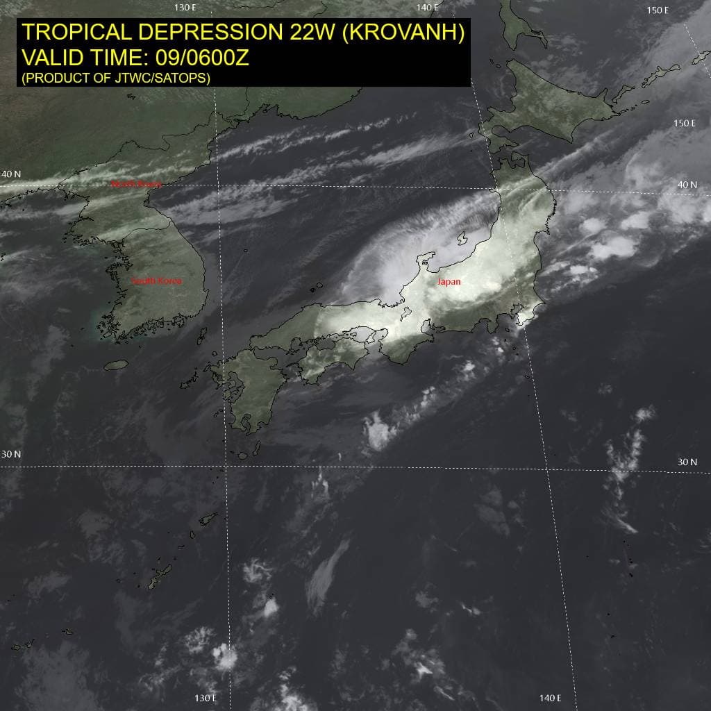
Tropical Cyclone 22W (Krovanh) is located approximately 187 NM west-southwest of Atsugi, Japan – Final Warning
Northeast Pacific:
Tropical Cyclone 14E
DEPRESSION LIKELY TO BECOME A TROPICAL STORM ON THURSDAY
According to the NHC advisory number 2…
The depression is moving toward the west-northwest near 12 mph, and a generally westward motion is expected over the next couple of days. Maximum sustained winds are near 35 mph (55 km/h) with higher gusts. Some strengthening is forecast during the next 48 hours, and the depression is expected to become a tropical storm on Thursday. The estimated minimum central pressure is 1006 mb (29.71 inches).
>>> Central Portion and West Portion of the East Pacific:
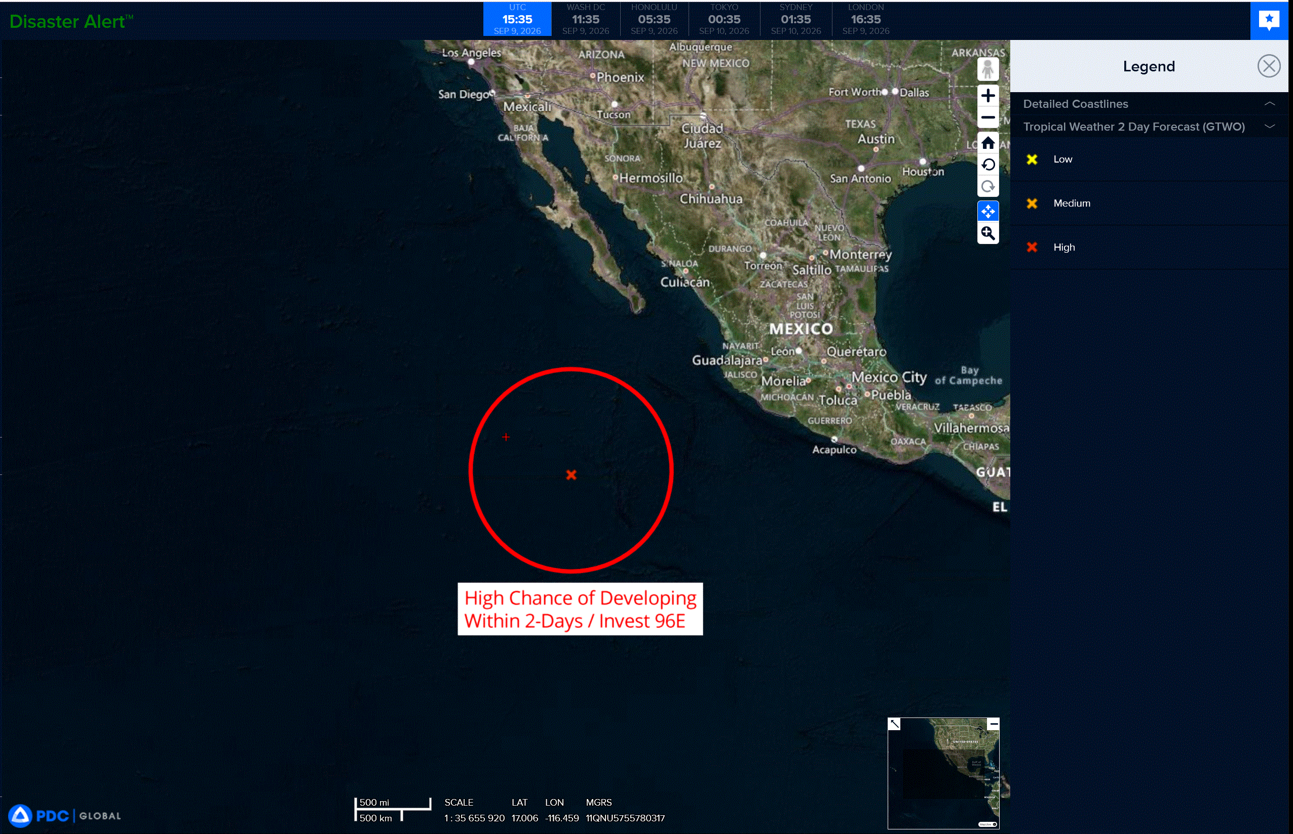
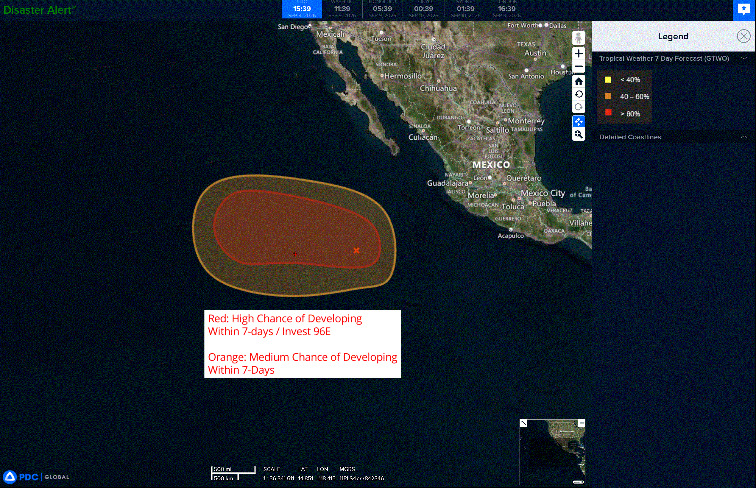
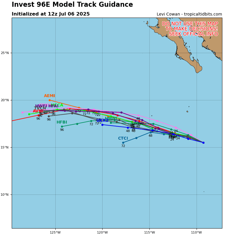
An area of low pressure is forecast to form several hundred miles south of the southern tip of the Baja California Peninsula this weekend or early next week. Some gradual development is possible thereafter, and a tropical depression could form early next week while the system moves generally westward.
* Formation chance through 48 hours…low…0 percent
* Formation chance through 7 days…medium…50 percent
Central North Pacific:
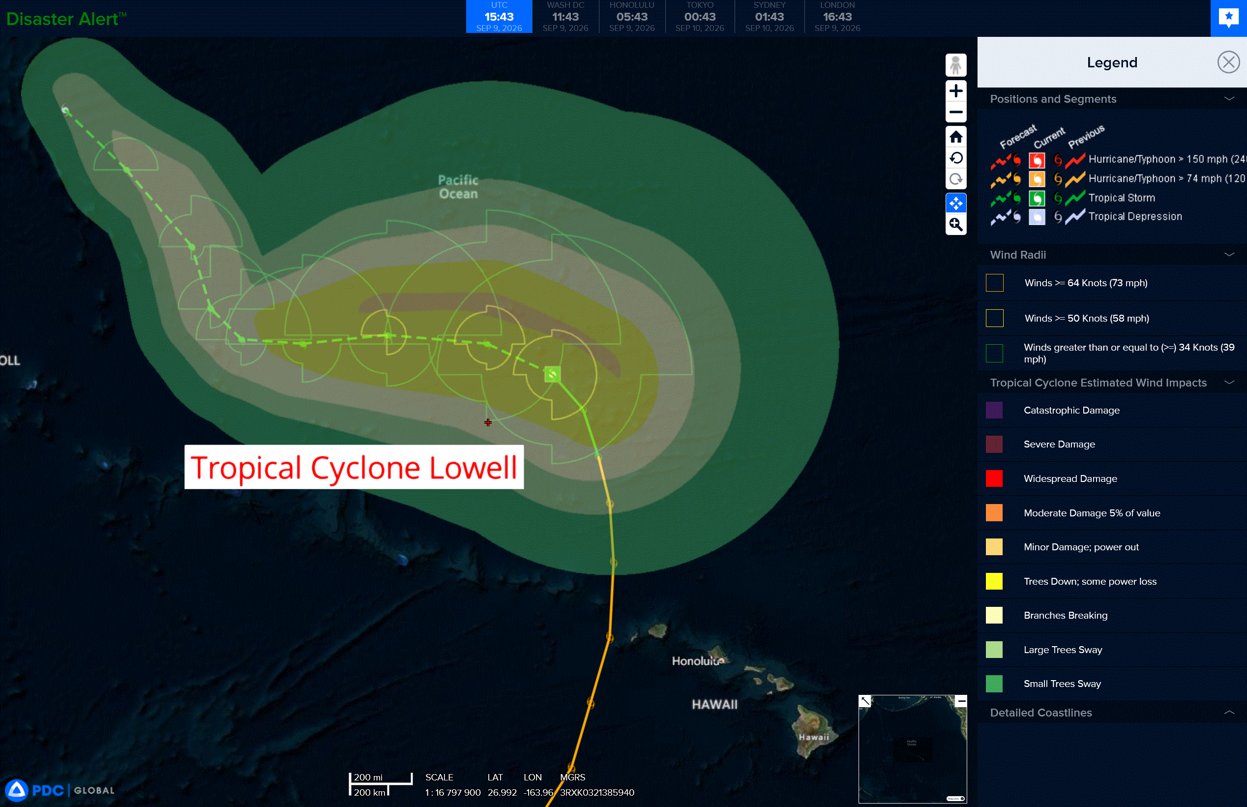
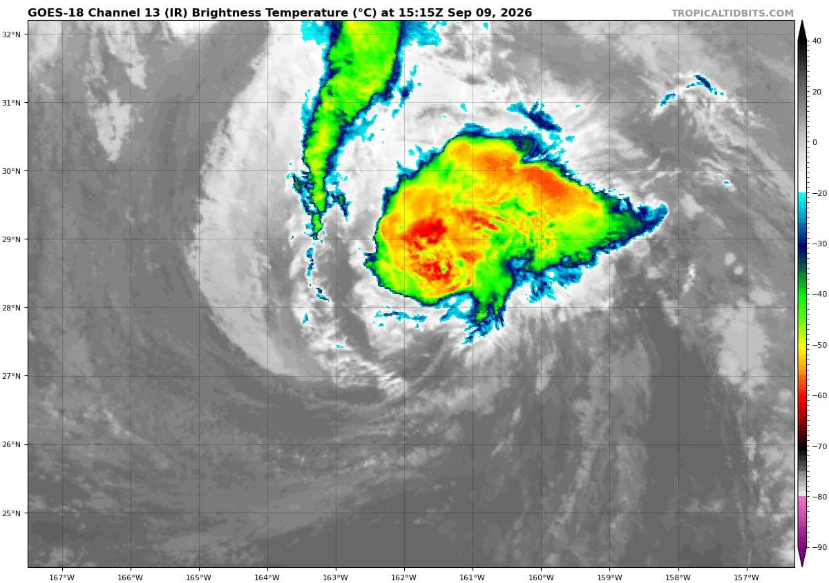
Tropical Cyclone 12E (Lowell)
LOWELL TURNING WESTWARD AS IT GRADUALLY WEAKENS
According to the NHC advisory number 56…
Lowell is moving toward the north-northwest near 13 mph (20 km/h). A gradual turn toward the northwest and then west is forecast today into Thursday. Then, the system’s forward motion is expected to slow later this week. Maximum sustained winds have decreased to near 60 mph (95 km/h) with higher gusts. Gradual weakening is forecast during the next few days. Tropical-storm-force winds extend outward up to 255 miles (405 km) from the center. The estimated minimum central pressure is 985 mb (29.09 inches).
A broad trough of low pressure associated with disorganized showers and thunderstorms has formed well to the south-southeast of the Hawaiian Islands. Some gradual development of this system is possible late this week into the weekend as this system moves generally northward.
* Formation chance through 48 hours…low…10 percent
* Formation chance through 7 days…low…20 percent
Western Pacific, Indian Ocean, and adjacent Seas:
Western Pacific
Tropical Cyclone 22W (Krovanh) – Final Warning
According to the JTWC warning number 33…sustained winds were 25 knots with gusts to 35 knots
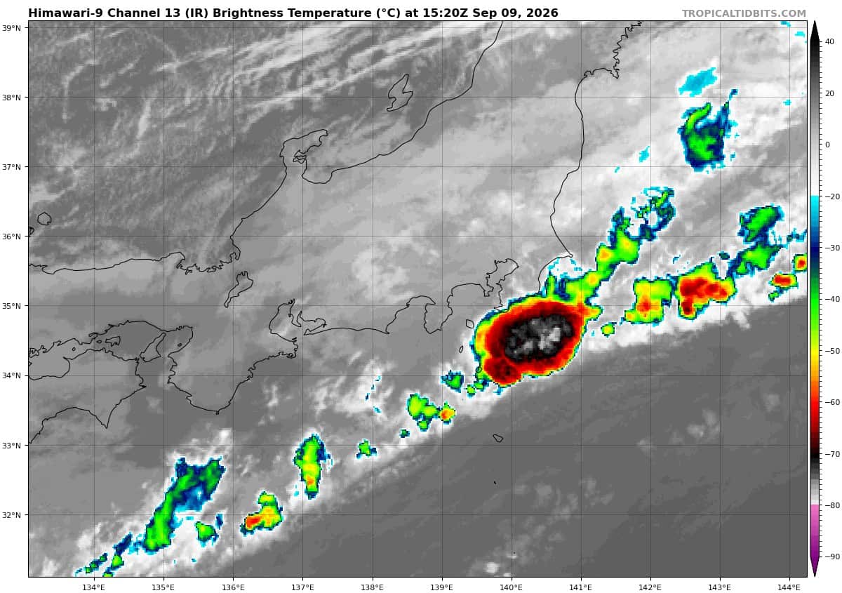
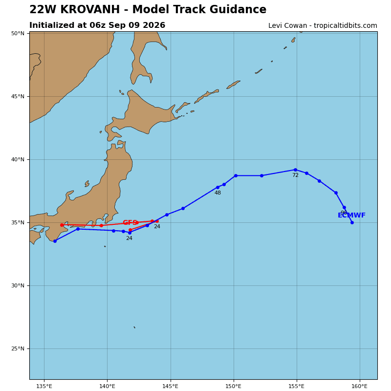
Tropical depression 22W has become increasingly ragged and ill-defined as it rakes across the coast of Honshu. Surface observations from the region are depicting weak (<20 kts) wind speeds and inconsistent wind directions, indicating the surface circulation is falling apart. 22W is forecast to continue tracking generally northeastward while further unraveling.
The environment is expected to remain hostile, characterized by large amounts of dry air, high (40-45 kts) vertical wind shear, and land interaction.
Global deterministic models are in strong agreement in imminent dissipation. As the remnant circulation
tracks along the coastline, elevated winds may occur offshore due to terrain interaction.