

Current Snapshot
For all the latest updates visit: DisasterAWARE
1800x1080a
ed
1000x1000g
goes19_ir_05L_202609021427_lat30.6-lon-94.9
020840WPCQPF_sm
020840WPCERO_sm

05L_tracks_latest
By PDC’s Senior Weather
Specialist Glenn James

The Pacific Disaster Center’s (PDC Global) Wednesday, September 2, 2026, Tropical Cyclone Activity Report…for the Atlantic Ocean, the Caribbean Sea, and the Gulf of America
Current Tropical Cyclones:
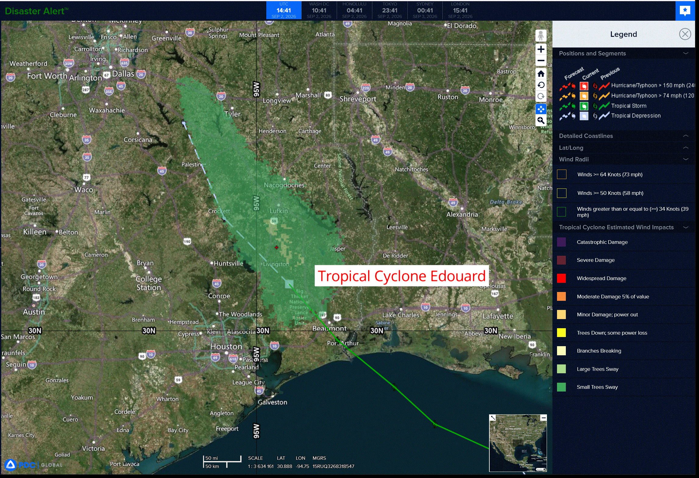
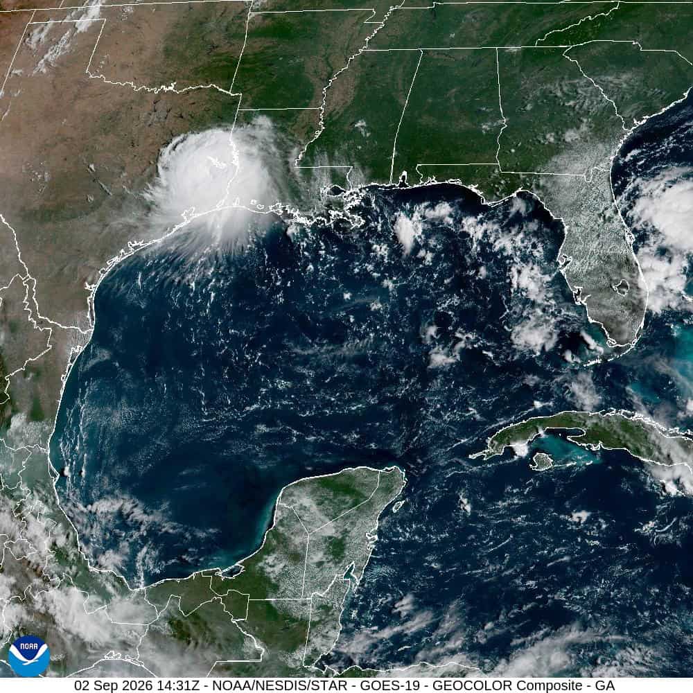
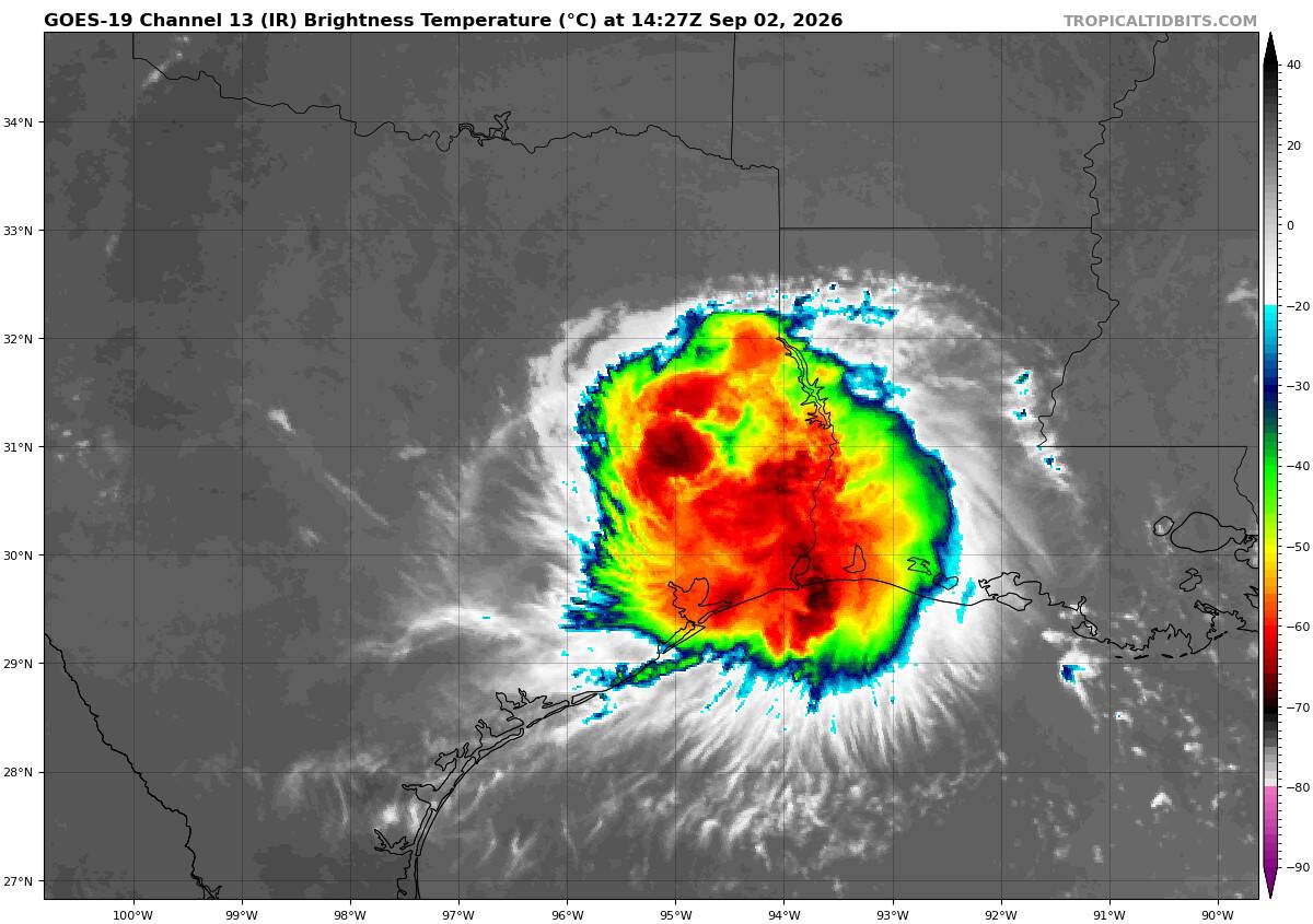
Tropical Cyclone Edouard…is located about 125 miles northwest of Beaumont, Texas
Atlantic Ocean: There are no active tropical cyclones
Caribbean Sea: There are no active tropical cyclones
Gulf of America:
Tropical Cyclone 05L (Edouard)
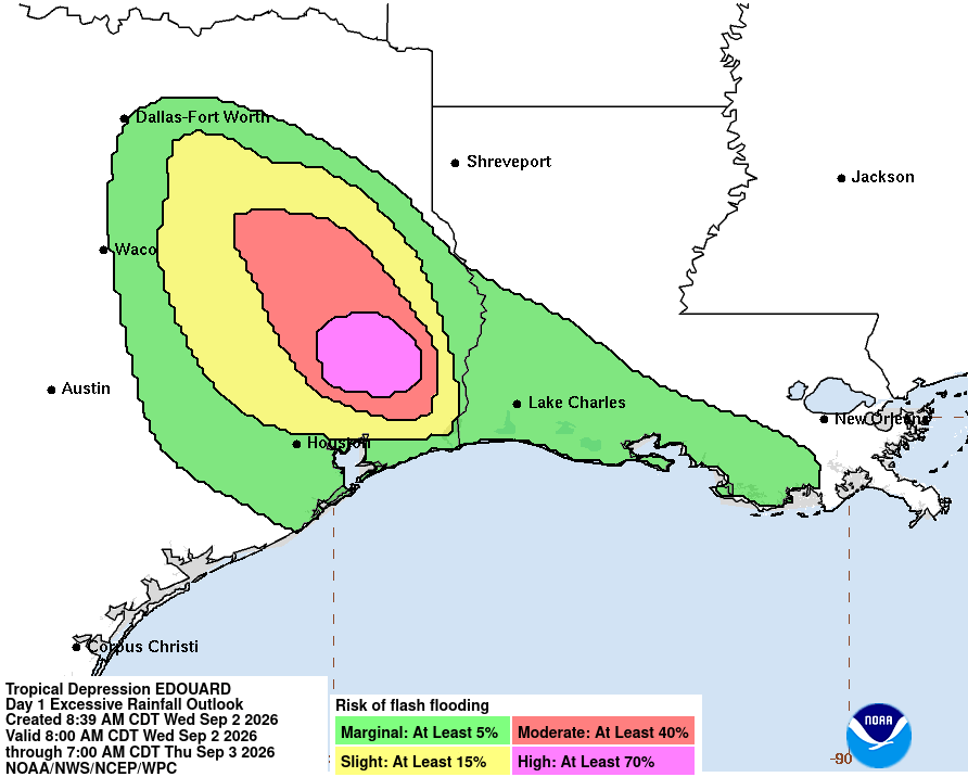
EDOUARD PRODUCING SIGNIFICANT FLASH FLOODING ACROSS EAST TEXAS
According to the NHC advisory number 9
The depression is moving toward the north-northwest near 5 mph (7 km/h) and this motion is expected to continue over the next 12 to 18 hours. Maximum sustained winds are near 35 mph (55 km/h) with higher gusts. Gradual weakening of Edouard is expected over the next 12 to 18 hours. The estimated minimum central pressure is 1004 mb (29.65 inches).
HAZARDS AFFECTING LAND
WIND: Wind gusts of 35 to 45 mph may continue near the center of Edouard for the next several hours.
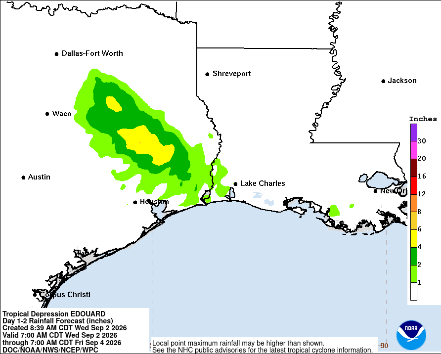
RAINFALL: Total rainfall along the path of Edouard is expected to range from 5 to 10 inches, with maximum totals up to 20 inches for inland areas away from the Upper Texas Coast through east-central Texas. This rainfall is likely to produce flash flooding, especially in low-lying and urban areas. Significant flash flooding is increasingly likely over the Piney Woods area of southeast Texas. River flooding may also be possible.
Across Southwest Louisiana, total rainfall from Edouard will range from 2 to 4 inches.