

Current Snapshot
For all the latest updates visit: DisasterAWARE
1800x1080ec
2ec
311455_earliest_reasonable_toa_34k
goes18_ir_11E_202608311345_lat17.3-lon-124.7
11E_tracks_latest
311454_earliest_reasonable_toa_34L
goes18_ir_12E_202608311525_lat12.8-lon-145.2
12E_tracks_latest
95e
7
1800x1080e
goes18_ir_95E_202608311525_lat11.9-lon-108.1
95E_tracks_latest
himawari9_ir_20W_202608311230_lat40.2-lon166.7
20W_gefs_latest
himawari9_ir_21W_202608311230_lat34.9-lon167.7
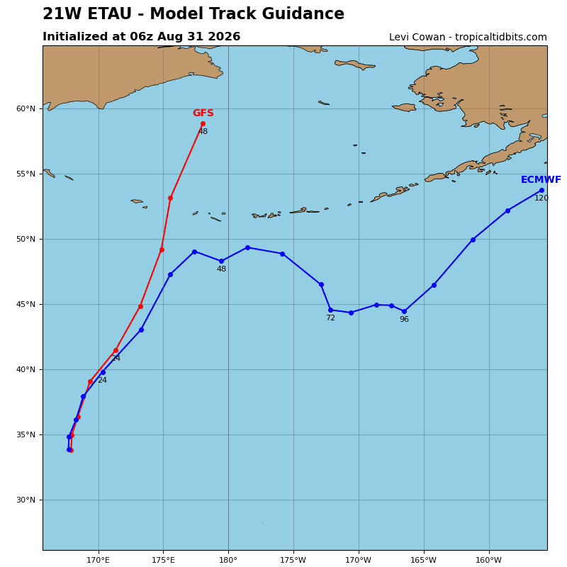
21W_tracks_latest
3w
himawari9_ir_94W_202608311230_lat21.9-lon131.4
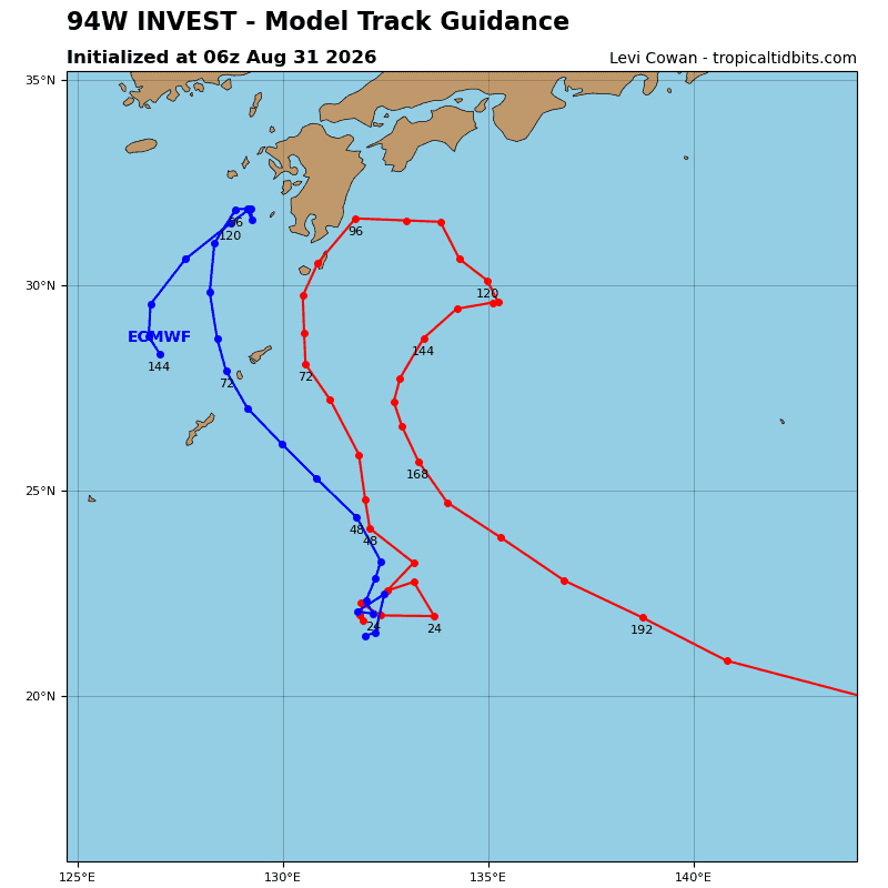
94W_tracks_latest
himawari9_ir_96W_202608311230_lat22.8-lon116.9
96W_tracks_latest
20w
himawari9_ir_20W_202608311230_lat40.2-lon166.7
20W_gefs_latest
himawari9_ir_17W_202608311230_lat19.3-lon111.3
17W_tracks_latest
By PDC’s Senior Weather
Specialist Glenn James

The Pacific Disaster Center’s (PDC Global) Monday, August 31, 2026, Tropical Cyclone Activity Report…for the Pacific Ocean, the Indian Ocean, and adjacent Seas.
Tropical Cyclones
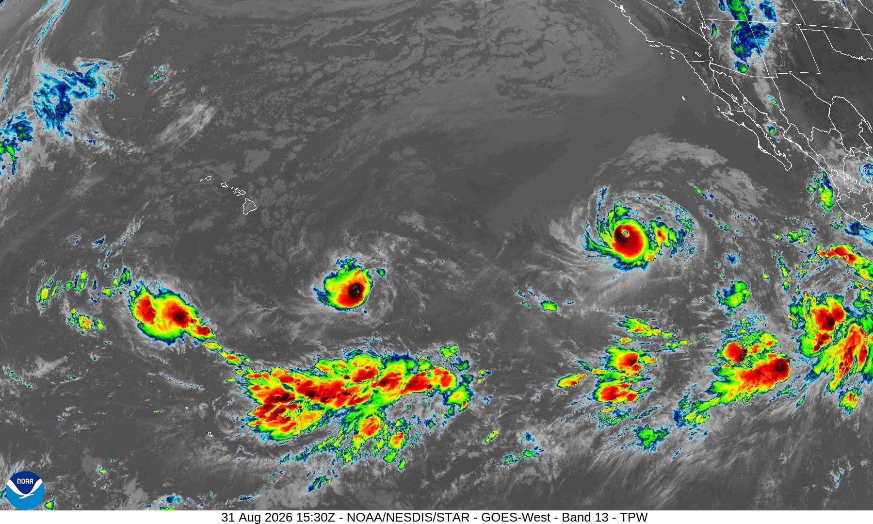
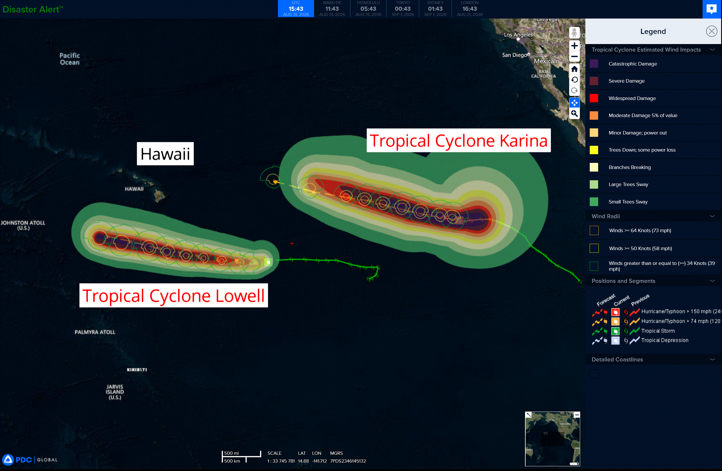
Tropical Cyclone 11E (Karina) is located about 1135 miles west-southwest of the southern tip of Baja CA
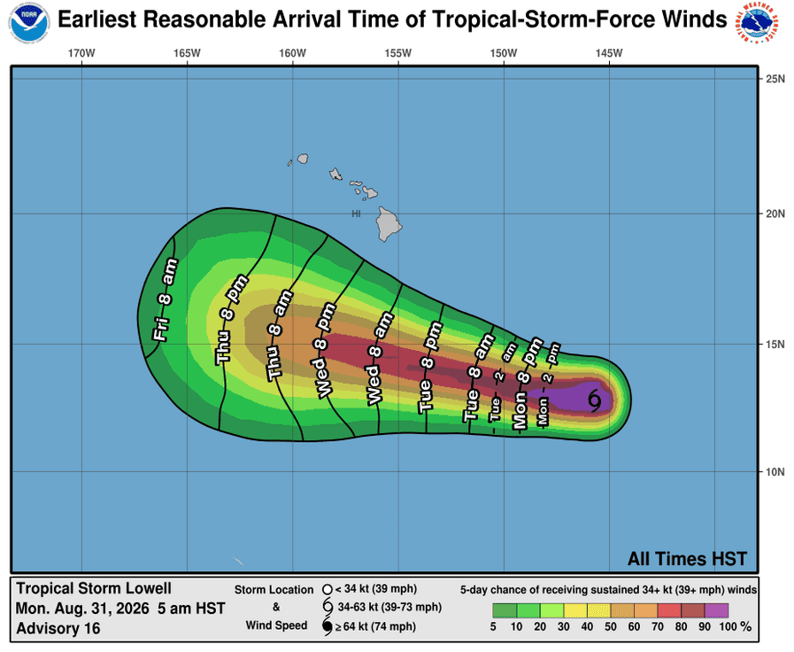
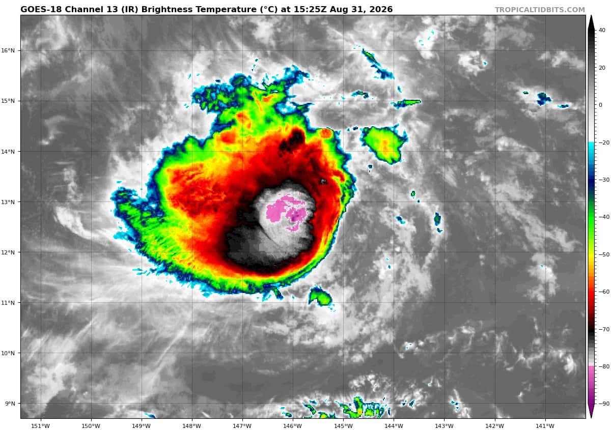
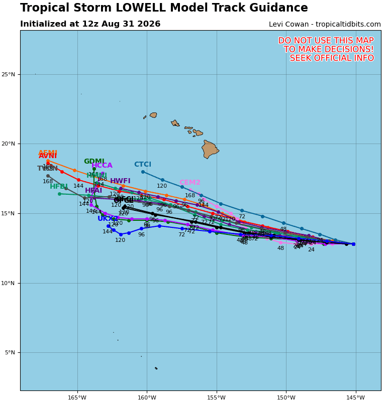
Tropical Cyclone 12E (Lowell) is located about 690 miles southeast of Hilo, Hawaii
Northeast Pacific:
Tropical Cyclone 11E (Karina)
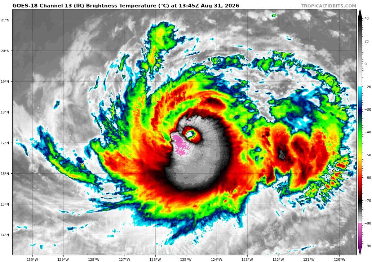
KARINA HOLDING STEADY AS A CATEGORY 4 HURRICANE
According to the NHC advisory number 19…
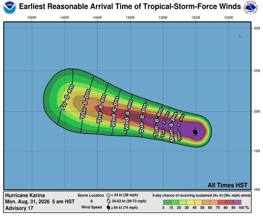
Karina is moving toward the west-northwest near 9 mph (15 km/h) and this general motion is expected to continue through the forecast period. Maximum sustained winds remain near 130 mph (215 km/h) with higher gusts. Karina is a category 4 hurricane on the Saffir-Simpson Hurricane Wind Scale. Fluctuations in intensity remain possible through tonight, followed by a gradual weakening trend on Tuesday. Hurricane-force winds extend outward up to 30 miles (45 km) from the center and tropical-storm-force winds extend outward up to 115 miles (185 km). The estimated minimum central pressure is 950 mb (28.06 inches).
HAZARDS AFFECTING LAND
SURF: Swells generated by Karina will affect portions of the coast of southwest Mexico and the Baja California Peninsula for the next couple of days and will likely spread northward to southern California on Monday through midweek. These swells are likely to cause life-threatening surf and rip current conditions.
Tropical Cyclone 12E (Lowell)
LOWELL FORECAST TO BECOME A HURRICANE SOON AND INTENSIFY RAPIDLY THEREAFTER
According to the NHC advisory number 18…
Lowell is moving toward the west near 10 mph (17 km/h). A west to west-northwest motion is expected to continue during the next several days. Maximum sustained winds have increased to near 70 mph (110 km/h) with higher gusts. Rapid intensification is forecast over the next day or two, and Lowell is expected to become a major hurricane by Wednesday. Tropical-storm-force winds extend outward up to 90 miles (150 km) from the center. The estimated minimum central pressure is 993 mb (29.33 inches).
HAZARDS AFFECTING LAND
SURF: Swells generated by Lowell are likely to affect portions of the Hawaiian Islands beginning around mid-week. These swells are likely to cause life-threatening surf and rip current conditions.
>>> Well offshore of Southwestern Mexico:
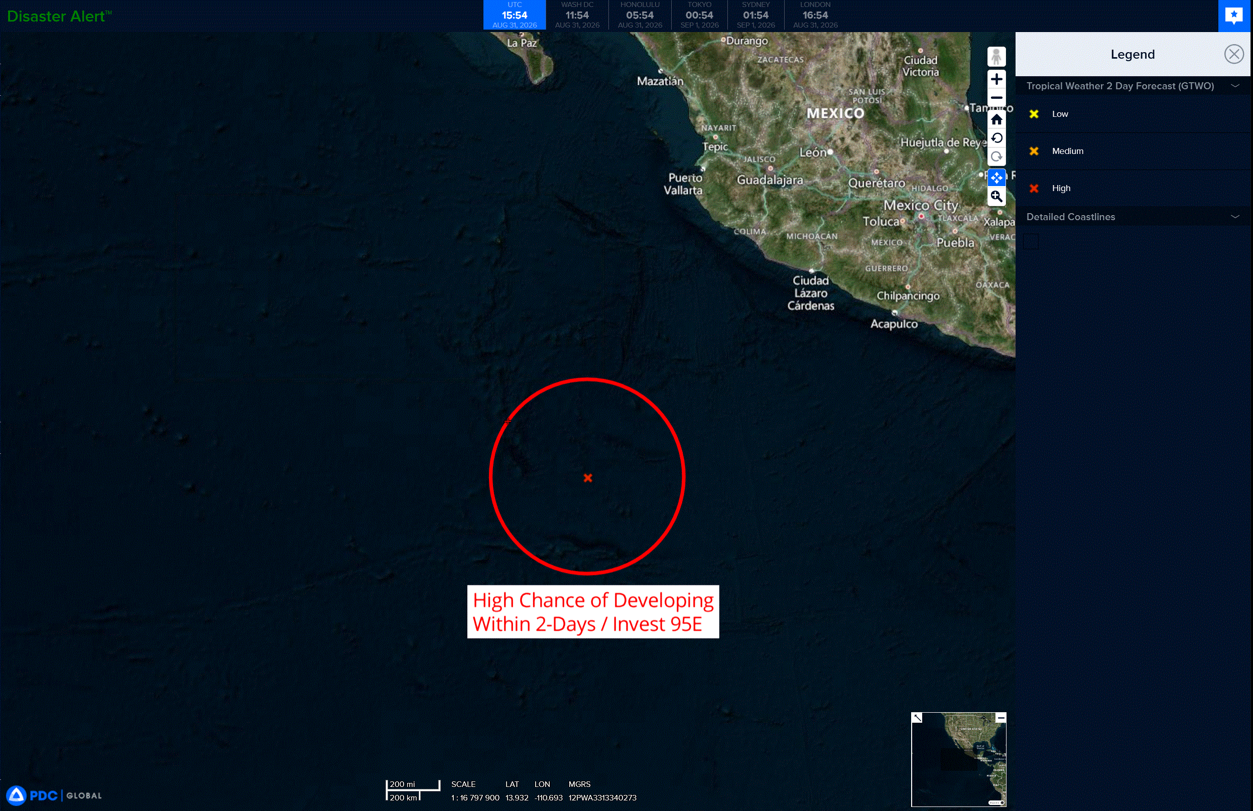
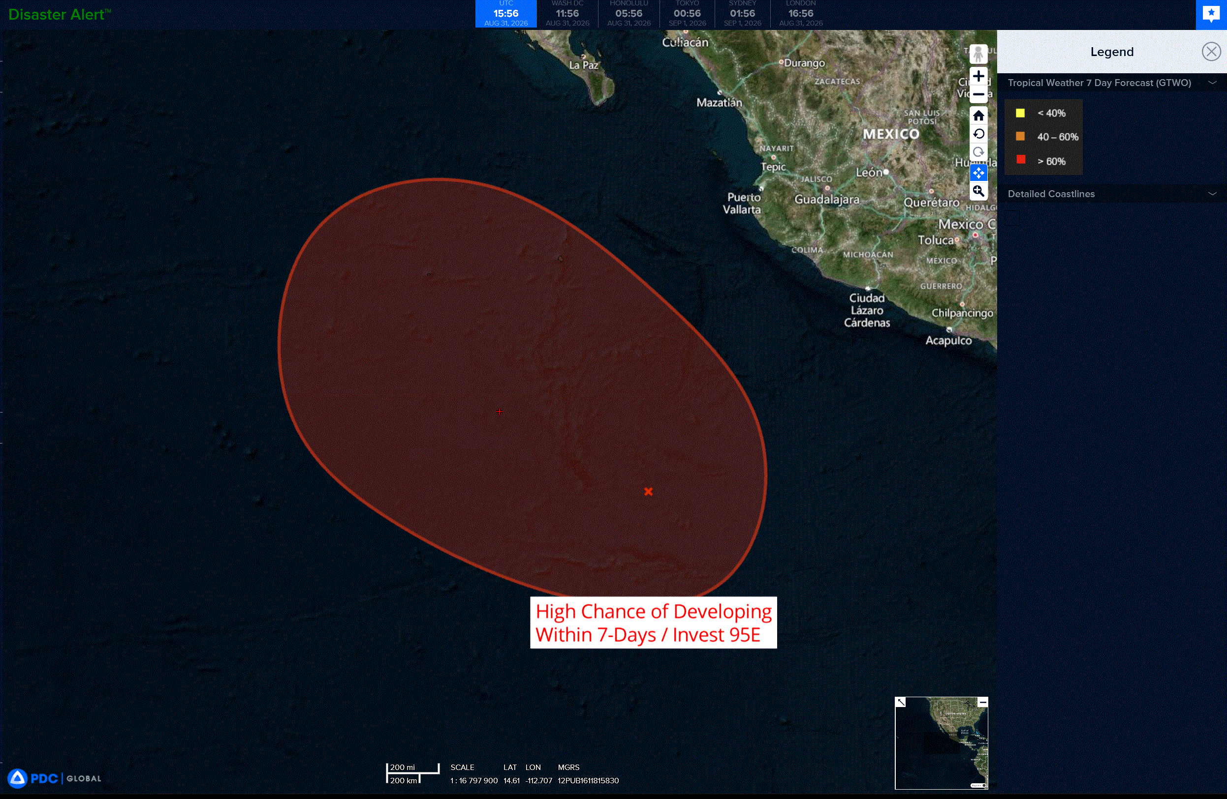
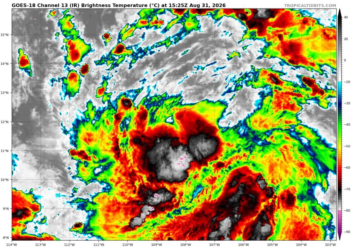
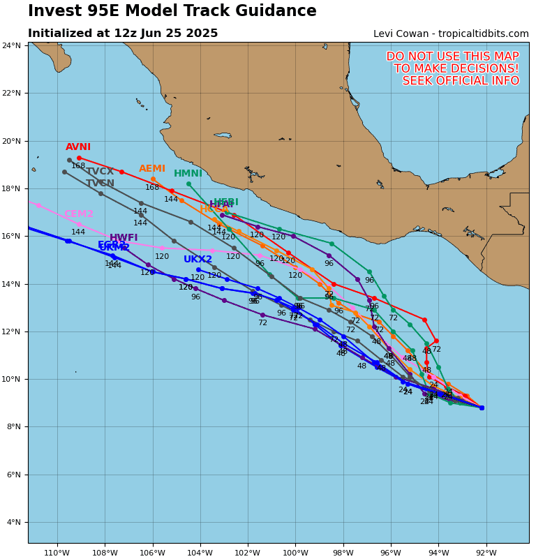
Invest 95E
Showers and thunderstorms are showing signs of organization in association with a broad area of low pressure located several hundred miles south-southwest of the coast of southwestern Mexico. Environmental conditions are conducive for development, and a tropical depression or tropical storm is expected to form later today or tonight, while the system moves northwestward around 10 mph.
* Formation chance through 48 hours…high…100 percent
* Formation chance through 7 days…medium…100 percent
Central North Pacific: There are no Tropical Cyclones
Western Pacific, Indian Ocean, and adjacent Seas:
Western Pacific
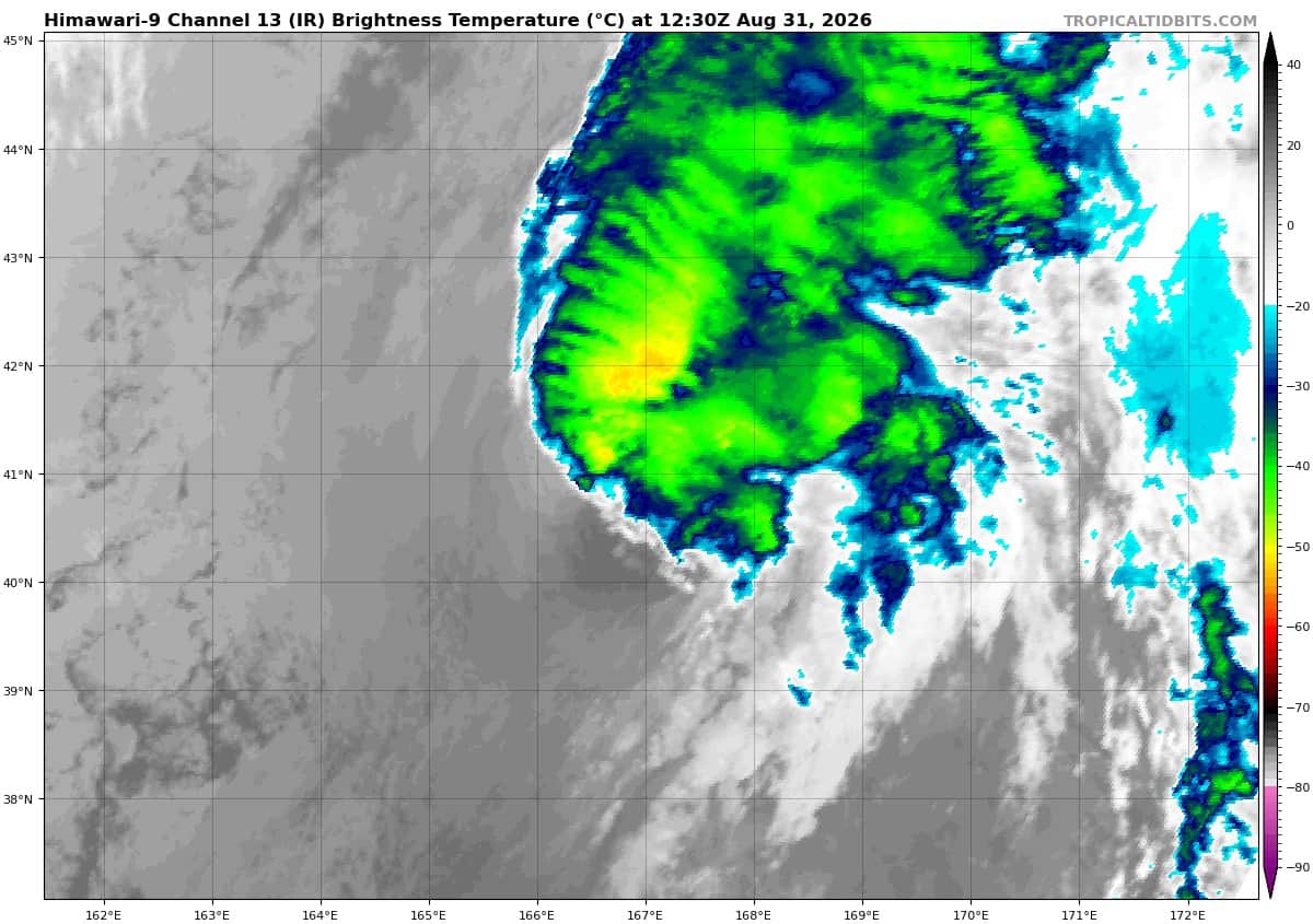
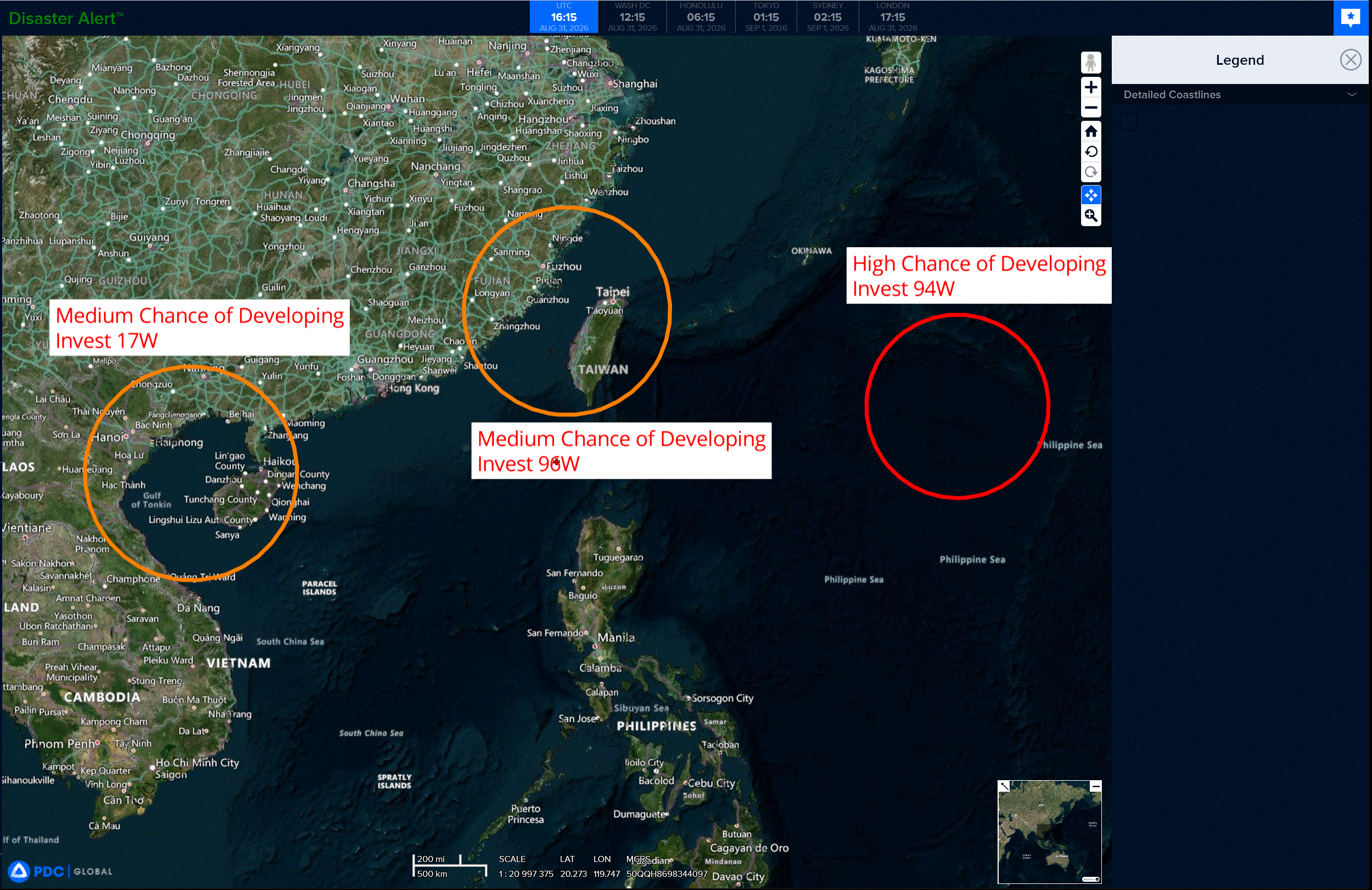
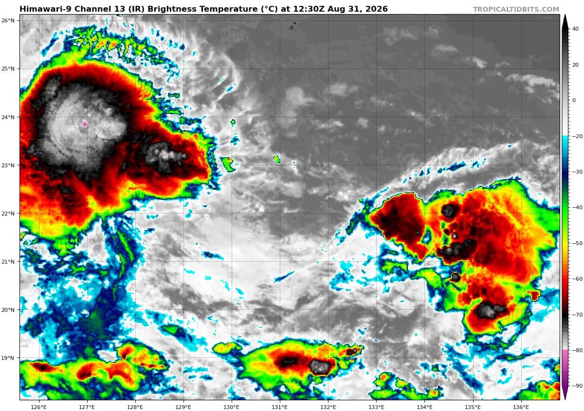
>>> There’s an area of disturbed weather that’s being referred to as Invest 94W, which is located approximately 268 NM south-southeast of Minami Daito Jima
The system is currently classified as a monsoon depression, generally characterized as a large cyclonic circulation, greater than 600nm diameter, with elevated winds over the southeastern periphery and a weak core of light winds.
Animated multi-spectral satellite imagery depicts a partially exposed, broad and elongated low-level circulation center (llcc), with a large wind field and persistent convection along both ends of the circulation. The system is located along the monsoon trough, which extends from Taiwan to the Mariana Islands. Over the next 12-24 hours, the center of the llcc will be prone to shifting along this trough axis, either toward the west and closer to Okinawa or east and further away.
The environmental analysis of the area indicates favorable conditions for development with low (10-15 kts) vertical wind shear (vws), warm (29-30 c) sea surface temperatures, and strong equatorward outflow in the upper levels, offset by a narrow band of dry air separating the moist westerly flow from the circulation.
The radius of maximum winds is currently over 100 nm. However, only a slight tightening of the wind field is needed to designate the system as a tropical depression.
While global deterministic and ensemble models agree on gradual consolidation as the system remains generally quasi-stationary, the precise formation location along the trough axis remains less certain.
Maximum sustained surface winds are estimated at 23 to 28 knots.
Minimum sea level pressure is estimated to be near 1001 mb.
The potential for the development of a significant tropical cyclone within the next 24 hours remains high.
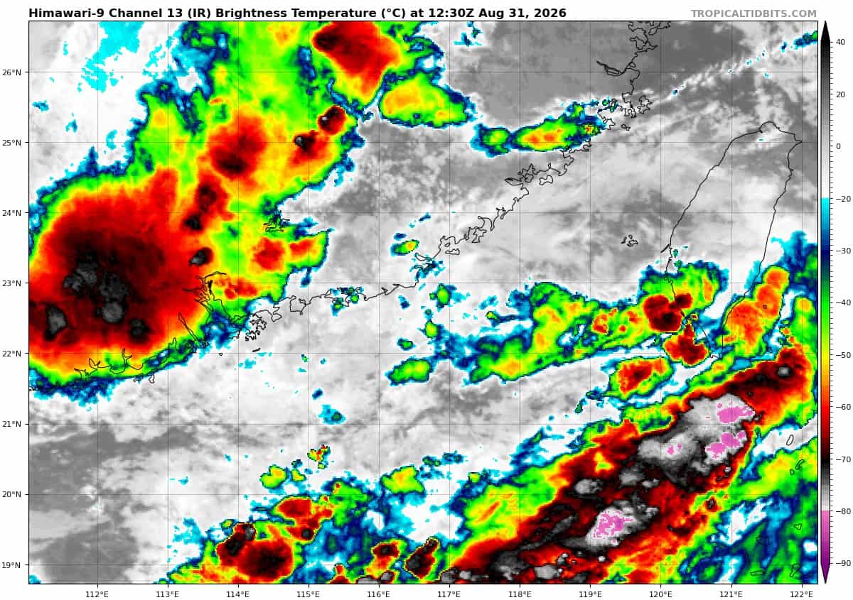
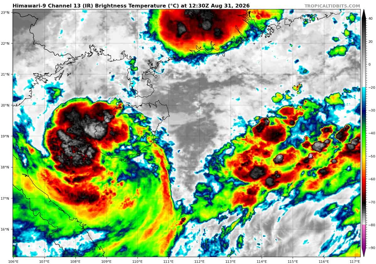
>>> There’s another area of disturbed weather that’s being referred to as Invest 17W, which is located approximately 07 NM northwest of Haikou, Hainan
Animated enhanced multi-spectral satellite imagery (msi) reveals that the remnants of 17w have emerged over water as a broad mid- to upper-level circulation.
Environmental analysis reveals 17w sits in a pocket of low to moderate (15-20 kts) vertical wind shear, warm (28-29 c) sea surface temperatures, moderate equatorward outflow, and abundant moisture.
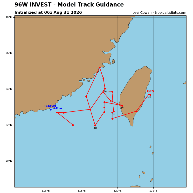
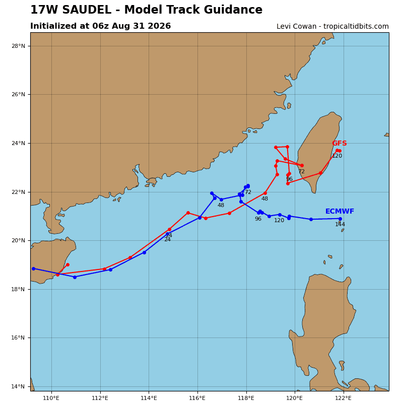
Global deterministic models indicate that 17w has a window of opportunity for redevelopment within the next 24-36 hours. 17w is expected to track northeastward along the Chinese coast, where it may briefly redevelop into a tropical cyclone before washing out into the strong southwesterly flow. Ensemble models are also indicative of potential redevelopment and a generally northeastward track.
Maximum sustained surface winds are estimated at 18 to 23 knots.
Minimum sea level pressure is estimated to be near 997 mb.
The potential for the development of a significant tropical cyclone within the next 24 hours remains medium.