

Current Snapshot
For all the latest updates visit: DisasterAWARE
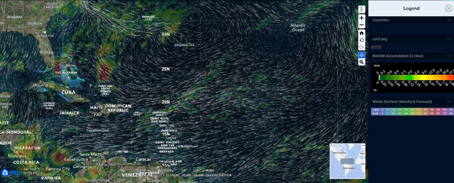
at
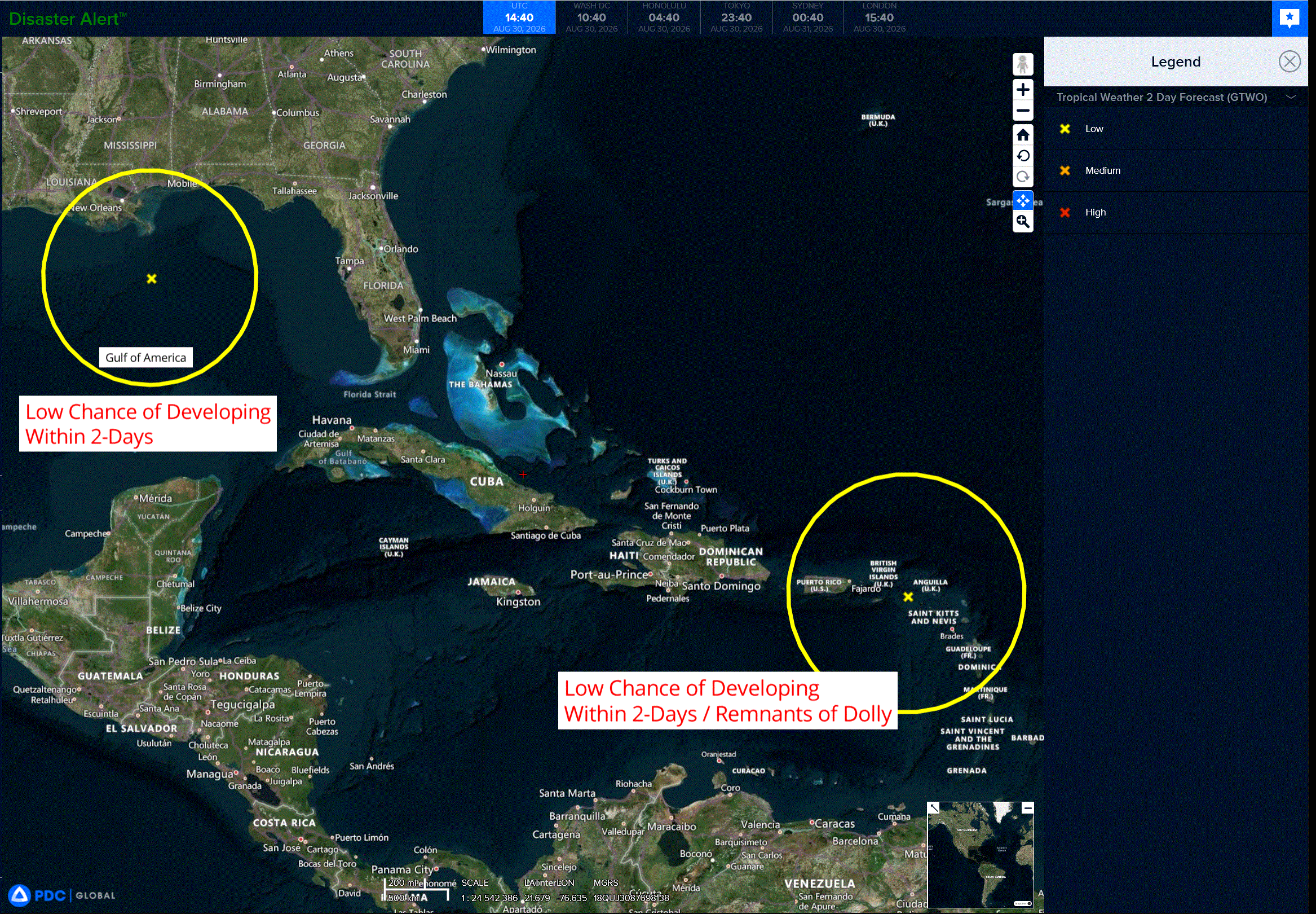
2a
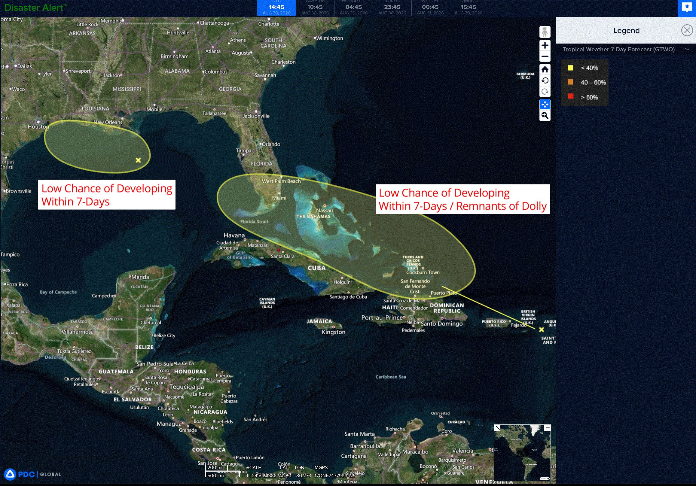
7a
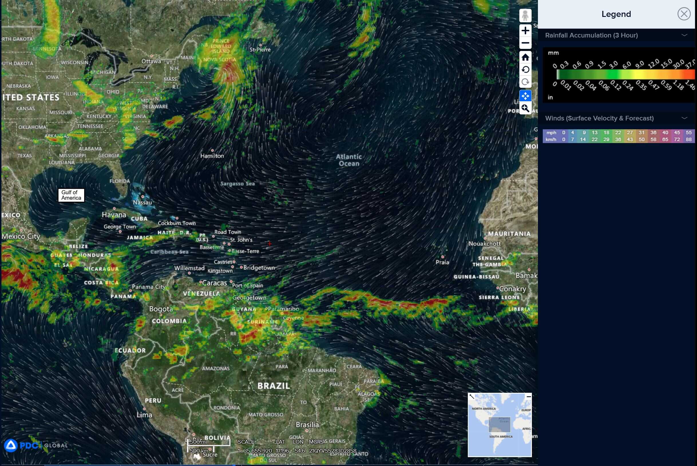
gom
1000x1000car
By PDC’s Senior Weather
Specialist Glenn James

The Pacific Disaster Center’s (PDC Global) Sunday, August 30, 2026, Tropical Cyclone Activity Report…for the Atlantic Ocean, the Caribbean Sea, and the Gulf of America
Current Tropical Cyclones:
There are no Tropical Cyclones
Atlantic Ocean: There are no active tropical cyclones
Caribbean Sea: There are no active tropical cyclones
>>> East of the Leeward Islands:
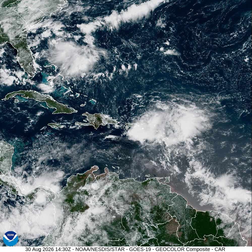
Remnants of Dolly
A strong tropical wave, the remnants of Tropical Storm Dolly, is producing an area of showers and thunderstorms from Puerto Rico eastward across the Virgin Islands and the northern Leeward Islands.
Satellite data and surface observations indicate that there are no signs of a closed surface circulation, and redevelopment is unlikely during the next day or two while the wave moves westward to west-northwestward at about 25 mph.
The system should bring locally heavy rains and gusty winds to portions of the Leeward Islands, the Virgin Islands, and Puerto Rico over the next couple of days.
Conditions may become more conducive for redevelopment by the middle of the week as the system reaches the southeastern Gulf of America.
* Formation chance through 48 hours…low…near 0 percent
* Formation chance through 7 days…low…20 percent
Gulf of America: There are no active tropical cyclones
>>> Northern Gulf of America:
Invest 97L
Showers and thunderstorms associated with an area of low pressure located about 125 miles south of the coast of southeastern Louisiana have become more concentrated.
However, current surface observations indicate that the system has not yet strengthened.
Slow development of this system is possible during the next couple of days as it drifts westward to west-northwestward across the northern Gulf.
Interests along the Louisiana and Upper Texas coasts should monitor the progress of this system.
* Formation chance through 48 hours…low…30 percent
* Formation chance through 7 days…low…30 percent