

Current Snapshot
For all the latest updates visit: DisasterAWARE
1800x1080ec
2e
7e
1800x1080e
2c
291433_earliest_reasonable_toa_34k
goes18_ir_11E_202608291545_lat15.3-lon-117.2
11E_tracks_latest
goes18_ir_12E_202608291545_lat12.7-lon-135.2L
12E_tracks_latest
7c
2w
20W_291200sair
himawari9_ir_20W_202608291550_lat25.3-lon168.6
20W_tracks_latest
21W_291200sair
himawari9_ir_21W_202608291550_lat30.0-lon165.4
21W_tracks_latest
94w
himawari9_ir_94W_202608291550_lat20.2-lon134.7
94W_tracks_latest
sd01c
By PDC’s Senior Weather
Specialist Glenn James

The Pacific Disaster Center’s (PDC Global) Saturday, August 29, 2026, Tropical Cyclone Activity Report…for the Pacific Ocean, the Indian Ocean, and adjacent Seas.
Tropical Cyclones
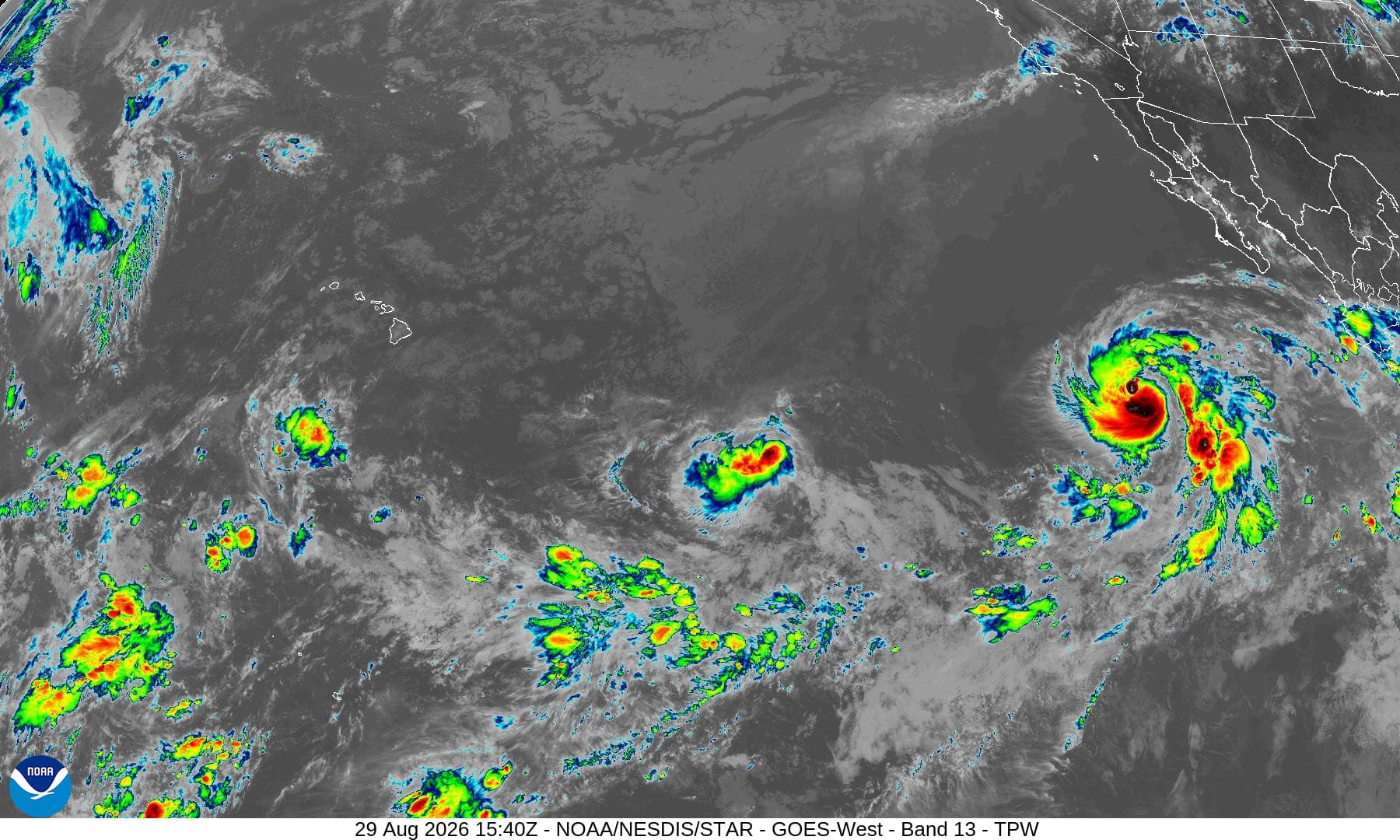
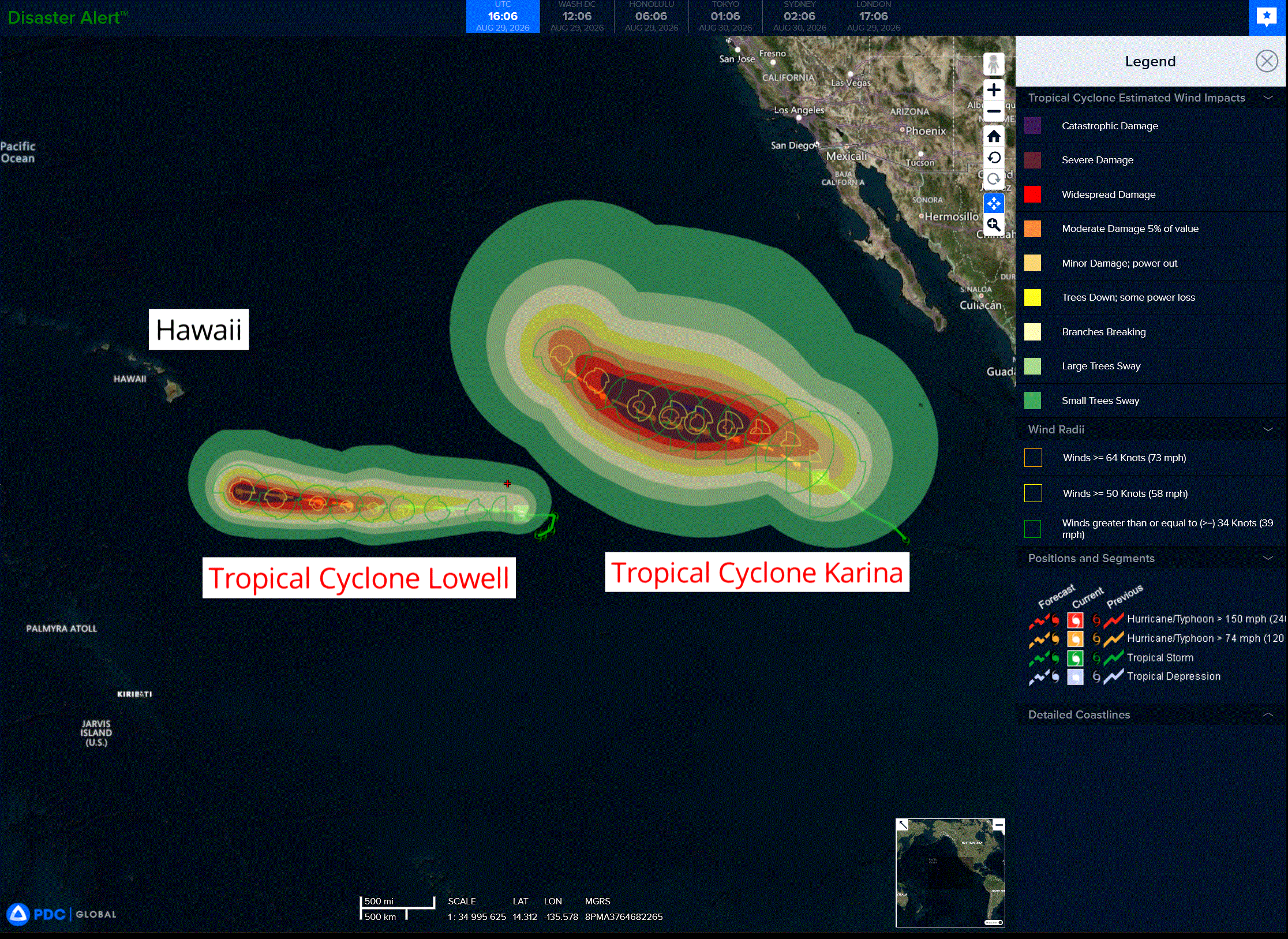
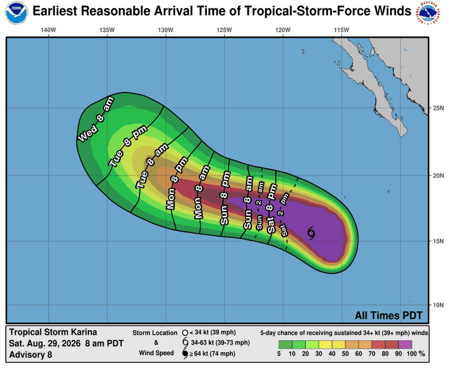
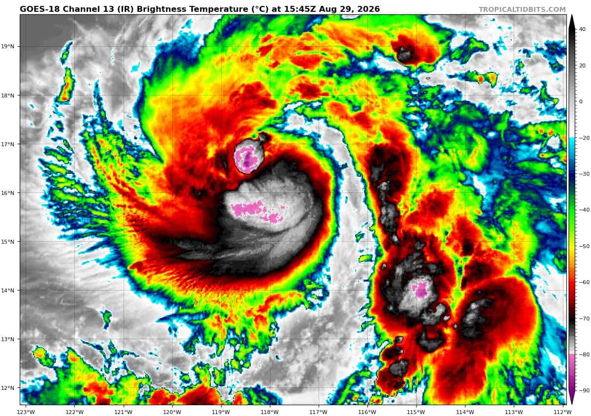
Tropical Cyclone 11E (Karina) is located about 710 miles southwest of the southern tip of Baja CA
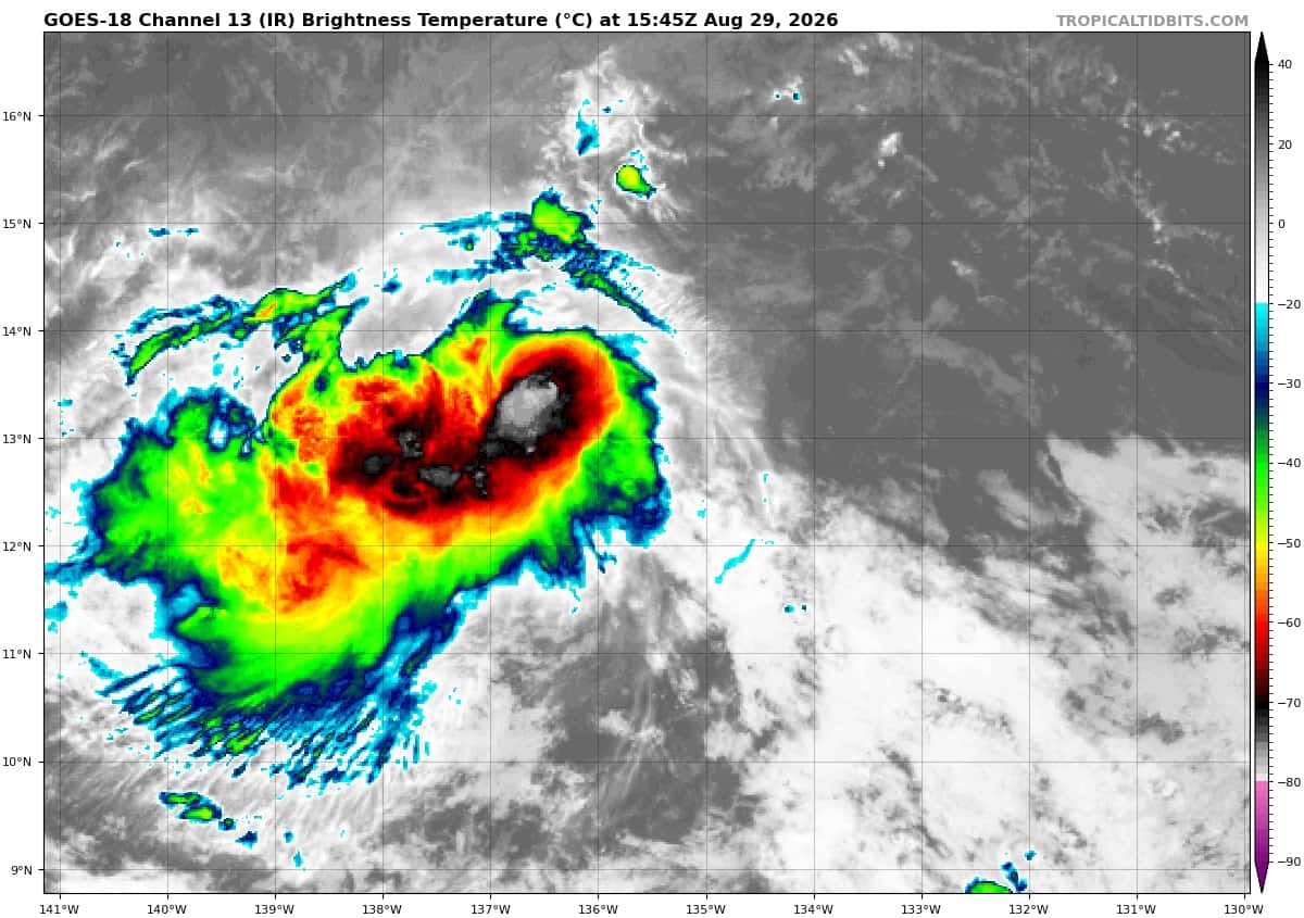
Tropical Cyclone 12E (Lowell) is located about 1370 miles east-southeast of Hilo
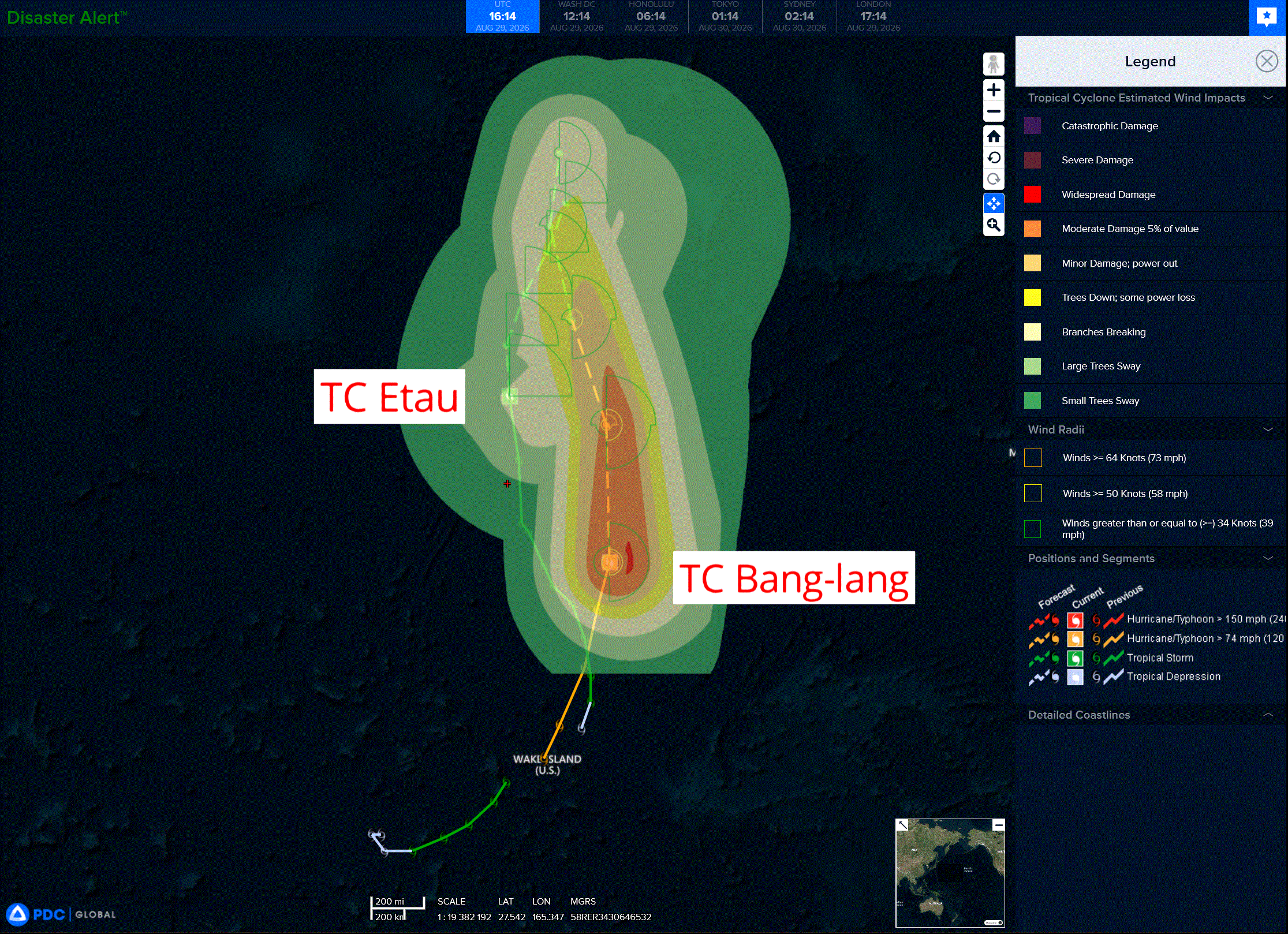
Tropical Cyclone 20W (Bang-lang)…is located approximately 377 NM north-northeast of Wake Island
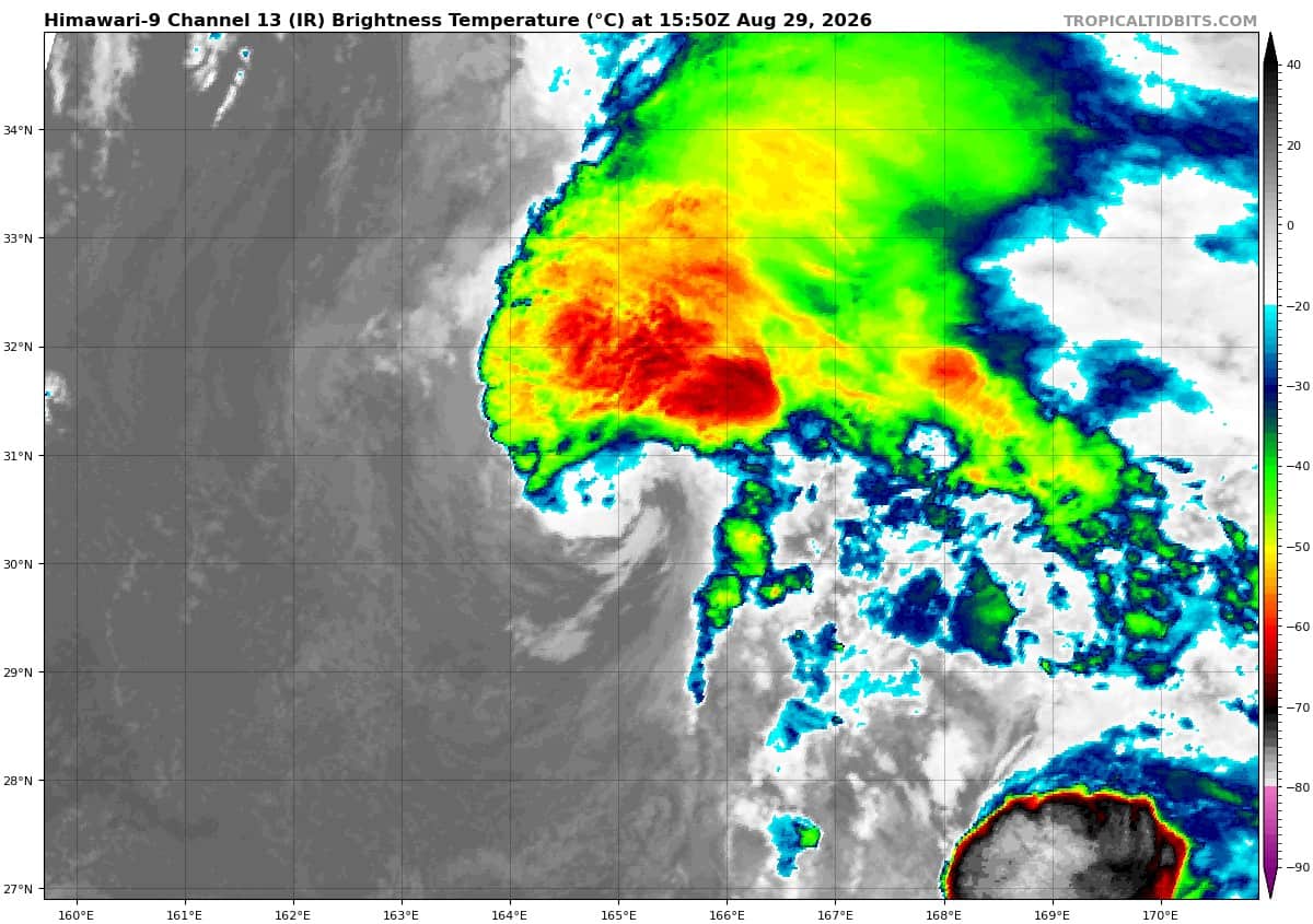
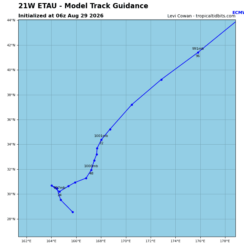
Tropical Cyclone 21W (Etau) …is located approximately 645 NM north of Wake Island
Northeast Pacific:
Tropical Cyclone 11E (Karina)
KARINA MAINTAINS INTENSITY AS IT MOVES NORTHWESTWARD OVER THE PACIFIC OCEAN
According to the NHC advisory number 8…
Karina is moving toward the northwest near 12 mph (19 km/h), followed by a more westerly motion over the next day or two. Maximum sustained winds are near 65 mph (100 km/h) with higher gusts. Strengthening is forecast during the next several days. Karina is forecast to become a hurricane over the weekend and could become a major hurricane early next week. Tropical-storm-force winds extend outward up to 230 miles (370 km) from the center. The estimated minimum central pressure is 989 mb (29.21 inches).
Tropical Cyclone 12E (Lowell)
LOWELL MOVING WESTWARD WITH LITTLE CHANGE IN STRENGTH
According to the NHC advisory number 8…
Lowell is moving toward the west near 8 mph (13 km/h). This general motion, along with a gradual increase in forward speed, is expected during the next several days. Maximum sustained winds are near 45 mph (75 km/h) with higher gusts. Gradual strengthening is expected during the weekend, and Lowell could become a hurricane by Monday or Monday night. Tropical-storm-force winds extend outward up to 70 miles (110 km) mainly to the west of the center. The estimated minimum central pressure is 1003 mb (29.62 inches).
>>> Well offshore of Southwestern Mexico:
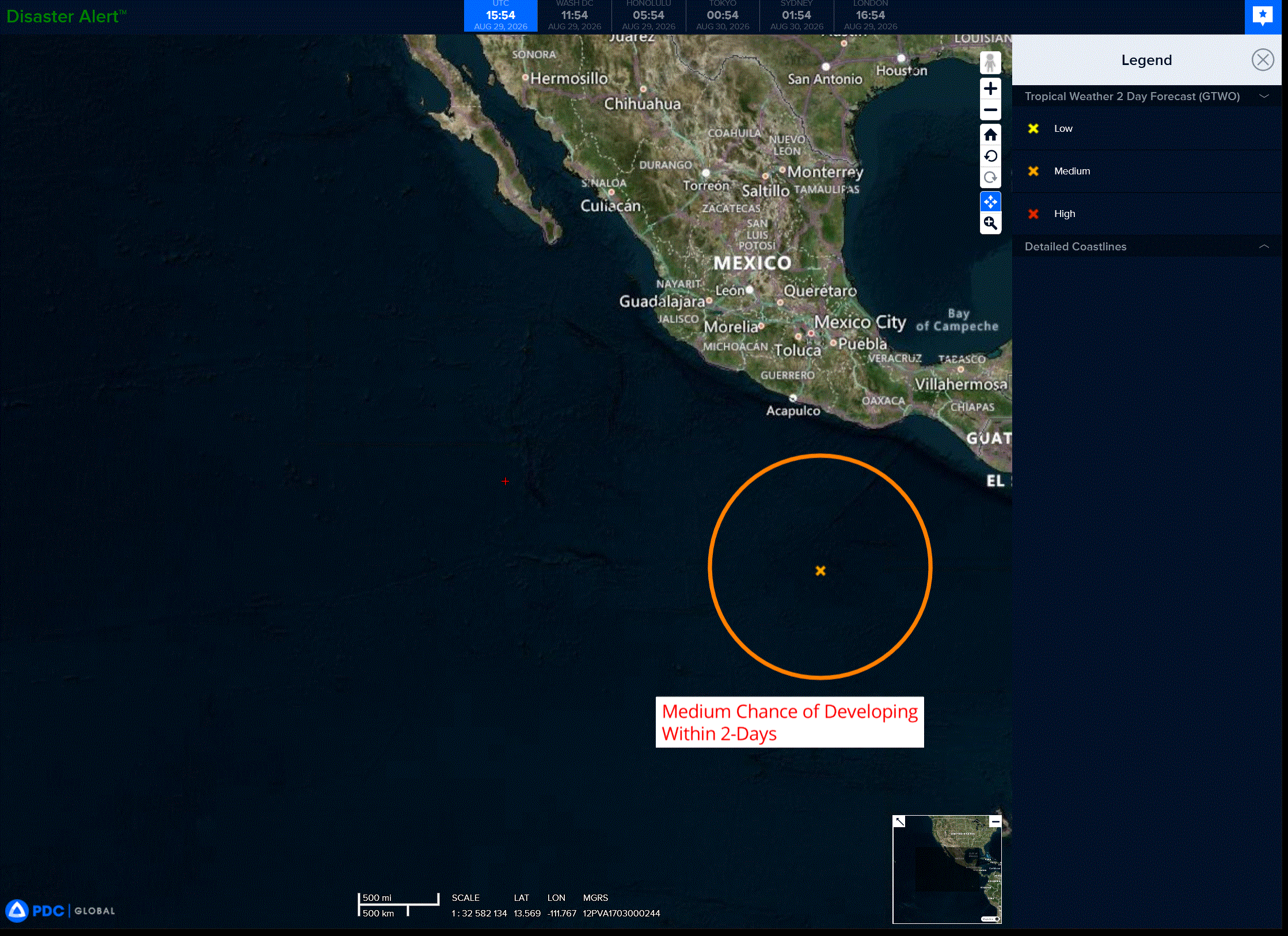
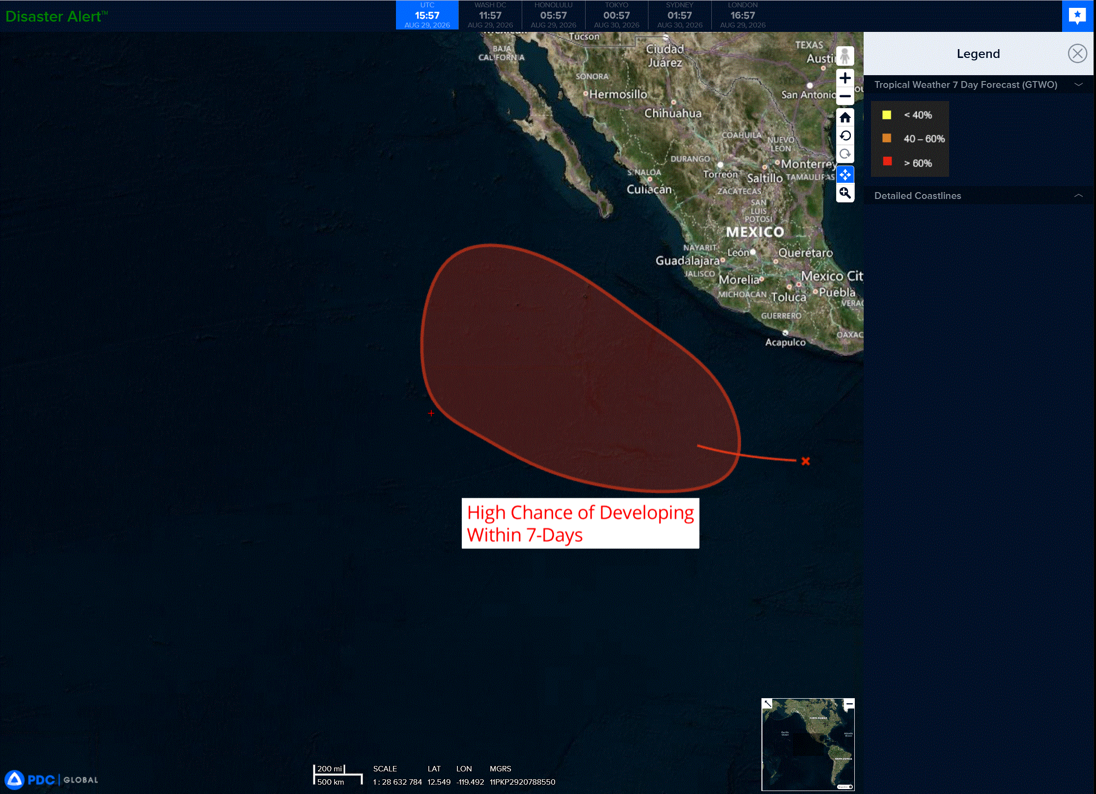
An area of disturbed weather, associated with a tropical wave, is located well to the south of southwestern Mexico. Environmental conditions appear favorable for gradual development of this system, and a tropical depression is likely to form in the next several of days while it moves west-northwestward to northwestward at 10 to 15 mph.
* Formation chance through 48 hours…medium…40 percent
* Formation chance through 7 days…medium…90 percent
Central North Pacific:
>>> Central Pacific:
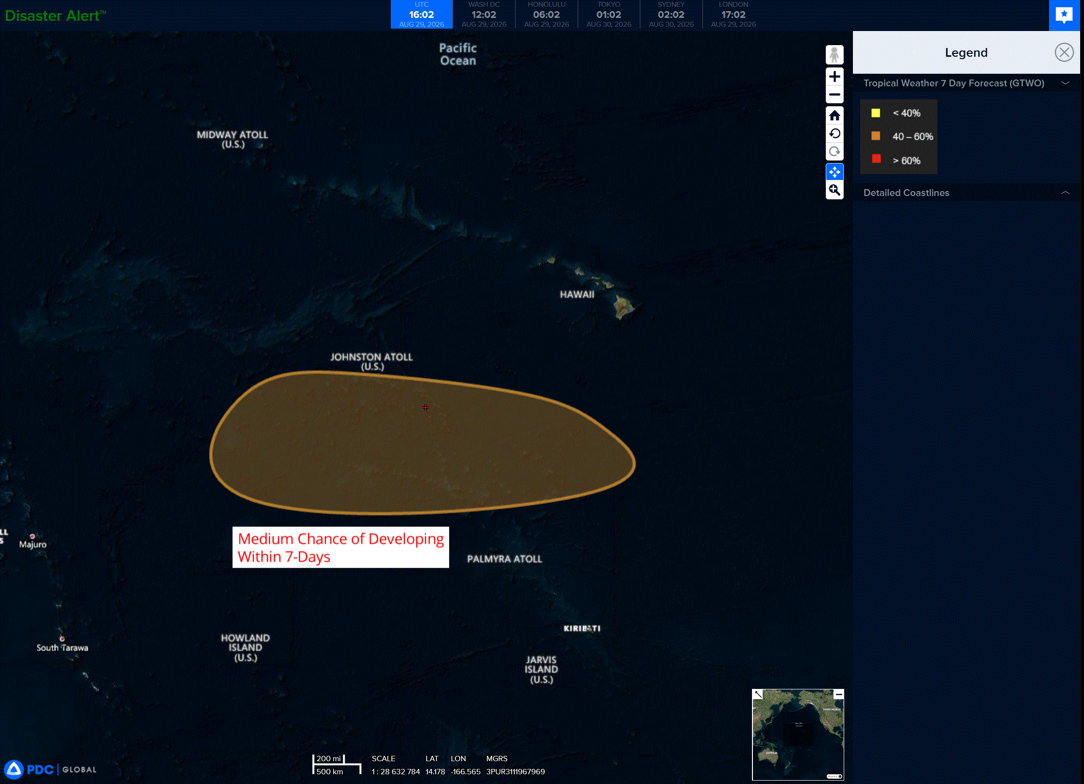
An area of low pressure could form well south or southwest of the Hawaiian Islands in the next few days. Some gradual development is possible thereafter and a tropical depression could form during the middle part of next week while the system moves slowly west-northwestward, well offshore of the Hawaiian Islands.
* Formation chance through 48 hours…low…near 0 percent
* Formation chance through 7 days…medium…40 percent
Western Pacific, Indian Ocean, and adjacent Seas:
Western Pacific
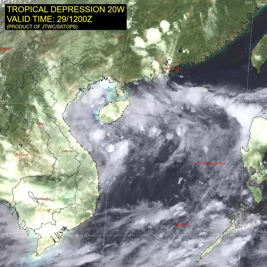
Tropical Cyclone 20W (Bang-lang)
According to the JTWC warning number 14…Sustained winds were 75 knots with gusts to 90 knots
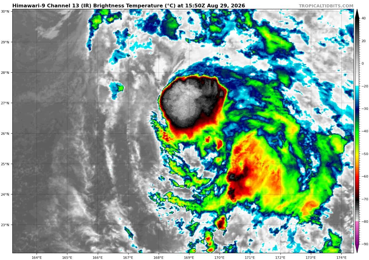
The cloud pattern of typhoon (ty) 20w has become less organized.the nascent eye feature that was previously visible is no longer apparent. While very deep convection continues to flare along the northern and eastern peripheries, with overshooting tops as cold as -85 degrees celsius, the overall structure has degraded. The
moderate to high vertical wind shear (vws) of 20-25 kts has taken a toll on the convective signature, restricting upper-level outflow on the western side of the system. Furthermore, ty 20w is now traversing the cool wake left behind by tropical storm (ts) 21w, with sea surface temperatures (sst) of 27-28 degrees celsius, a few
degrees cooler than 12 hours ago.
The ocean, however, is still sufficiently warm to maintain a tropical cyclone. Therefore, the environment is marginally unfavorable. A 290641z rcm-1 sar pass estimated maximum sustained winds of 80-85 kts, which was assessed to be a slight overestimate.
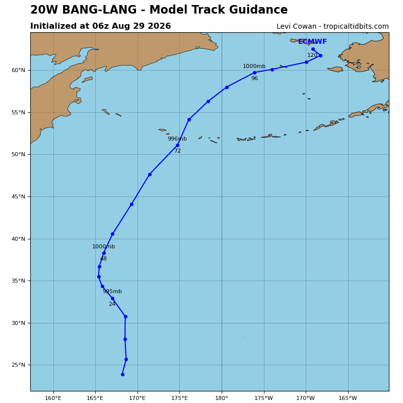
TY 20w will maintain a poleward trajectory throughout the forecast period, steered by an extensive ridge over
the central north pacific. The system will take a slight bend northwestward from 12 to 36 hours, as it briefly interacts with the circulation of ts 21w. By 48 hours, an approaching low- to mid-level trough will induce a northeastward motion. Based on this forecast track, the storm will rapidly weaken.
The vws will entrain increasing amounts of dry air into the miniature vortex. The circulation will move over progressively cooler sst, crossing the 26 degree isotherm by 24 hours. These factors will result in a rapid
weakening trend and a transition to a subtropical storm by 48 hours.
Tropical Cyclone 21W (Etau)
According to the JTWC warning number 11…Sustained winds were 40 knots with gusts to 50 knots
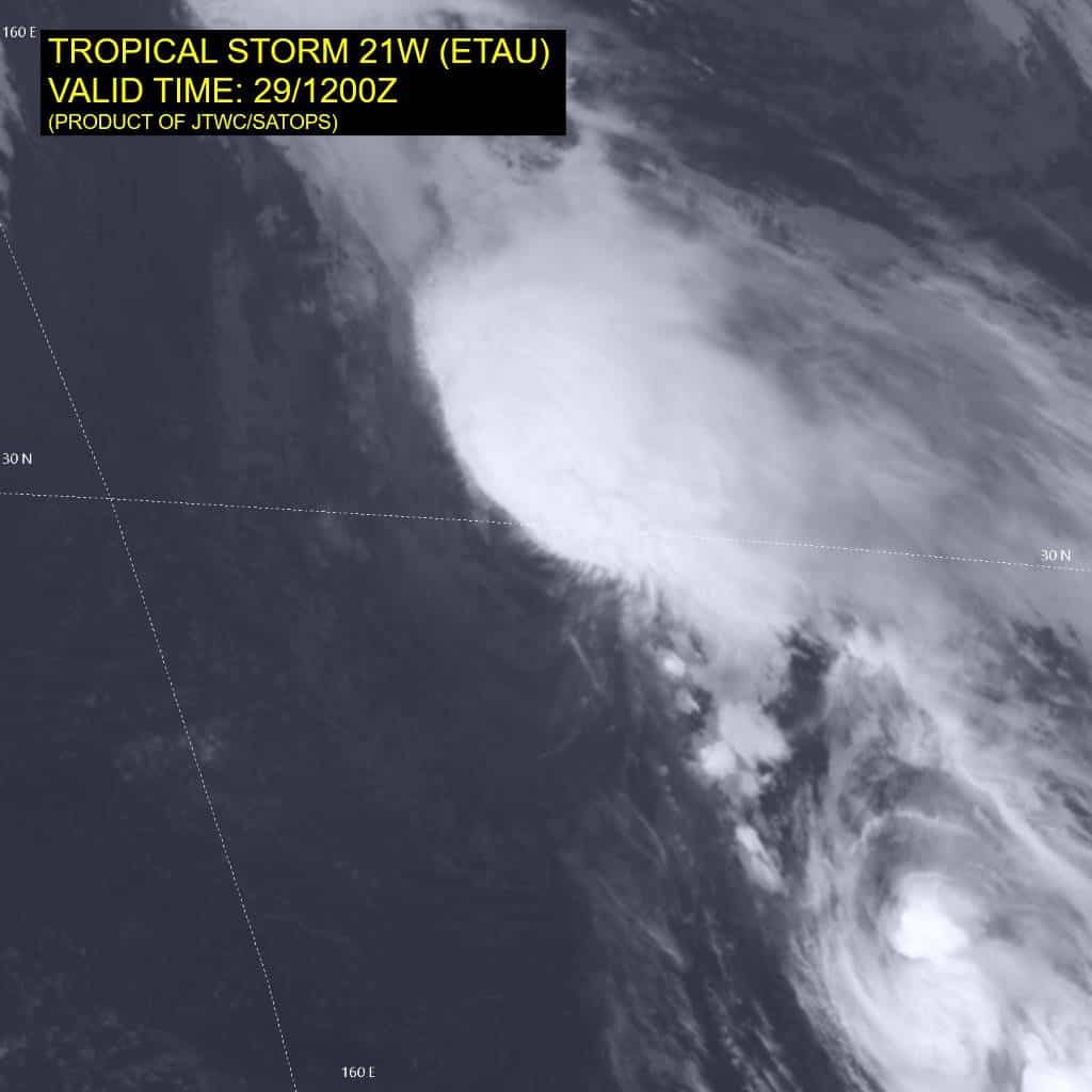
Animated enhanced infrared (eir) satellite imagery depicts a low-level circulation center (llcc) partly obscured by a massive thunderstorm. This convection has persisted near the center for over 06 hours in the face of high southwesterly vertical wind shear (vws) of 25-30 kts. This is in large part enabled by strong poleward outflow aloft into a channel of 50-60 kt geostrophic winds induced by a trough northwest of the system.
The surface circulation continues to spin vigorously in the shortwave-infrared imagery (swir), although the lack of convection on the upstream side of the vws has resulted in an increasingly elongated llcc.
The forecast calls for a continued poleward motion for the next 12 hours, followed by a turn toward the
north-northeast. The northward trajectory is a result of an extensive low- to mid-level ridge centered east of the dateline. After 12 hours, an approaching trough will induce an eastward turn. as ts 21w gains latitude, it will traverse over progressively cooler waters, crossing the 26 degree isotherm inside 12 hours and enter a more baroclinic environment. When this happens, the system will gradually lose tropical characteristics and transition into a subtropical storm.
The intensity change through the forecast is minor as a result of increasing baroclinicity associated with light
thermal advection and the approaching trough. There remains significant uncertainty in the forecast. Several models, including gfs and hafs-a, explicitly depict a loop toward the south in response to the Fujiwhara Effect with ty 20w. If this occurs, then ts 21w will encounter more favorable conditions that may result in slight intensification between 24 and 60 hours and prolong its demise. This alternate scenario would necessitate a drastic change to the track and intensity forecast philosophy. The next 12-24 hours will tell the story.
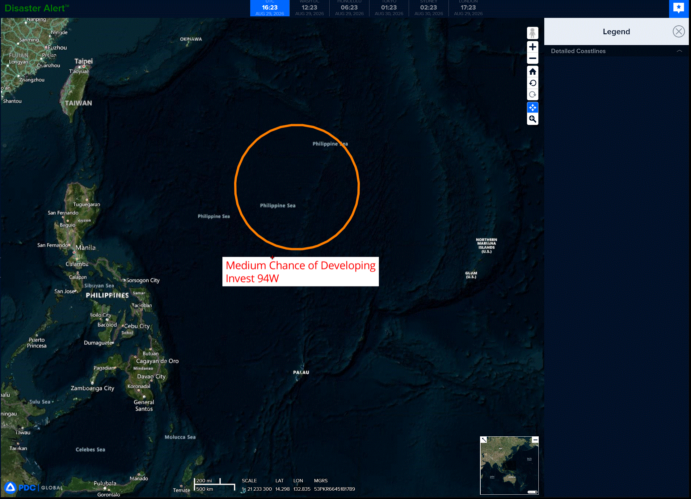
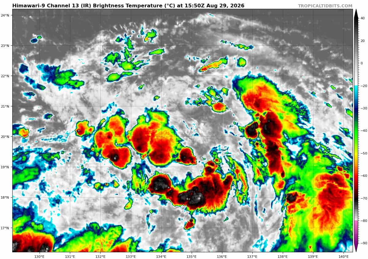
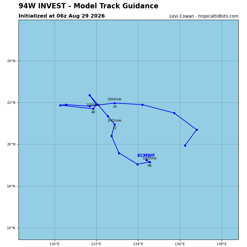
>>> There’s an area of disturbed weather that’s being referred to as Invest 94W, which is located approximately 706 NM northwest of Guam
Animated enhanced infrared satellite imagery depicts a poorly defined low-level circulation center obscured by persistent convection. Recent scatterometer data reveals an elongated circulation in the lower levels associated with weak surrounding winds.
The environmental analysis of the area indicates conducive conditions for development with low (10-15 kts) vertical wind shear (vws), warm (29-30 c) sea surface temperatures, plentiful moisture, and a strong equatorward outflow in the upper levels.
Global deterministic and ensemble models agree on a gradual development of 94W as the system transits west-northwestward.
Maximum sustained surface winds are estimated at 13 to 18 knots.
Minimum sea level pressure is estimated to be near 1004 mb.
The potential for the development of a significant tropical cyclone within the next 24 hours is medium.
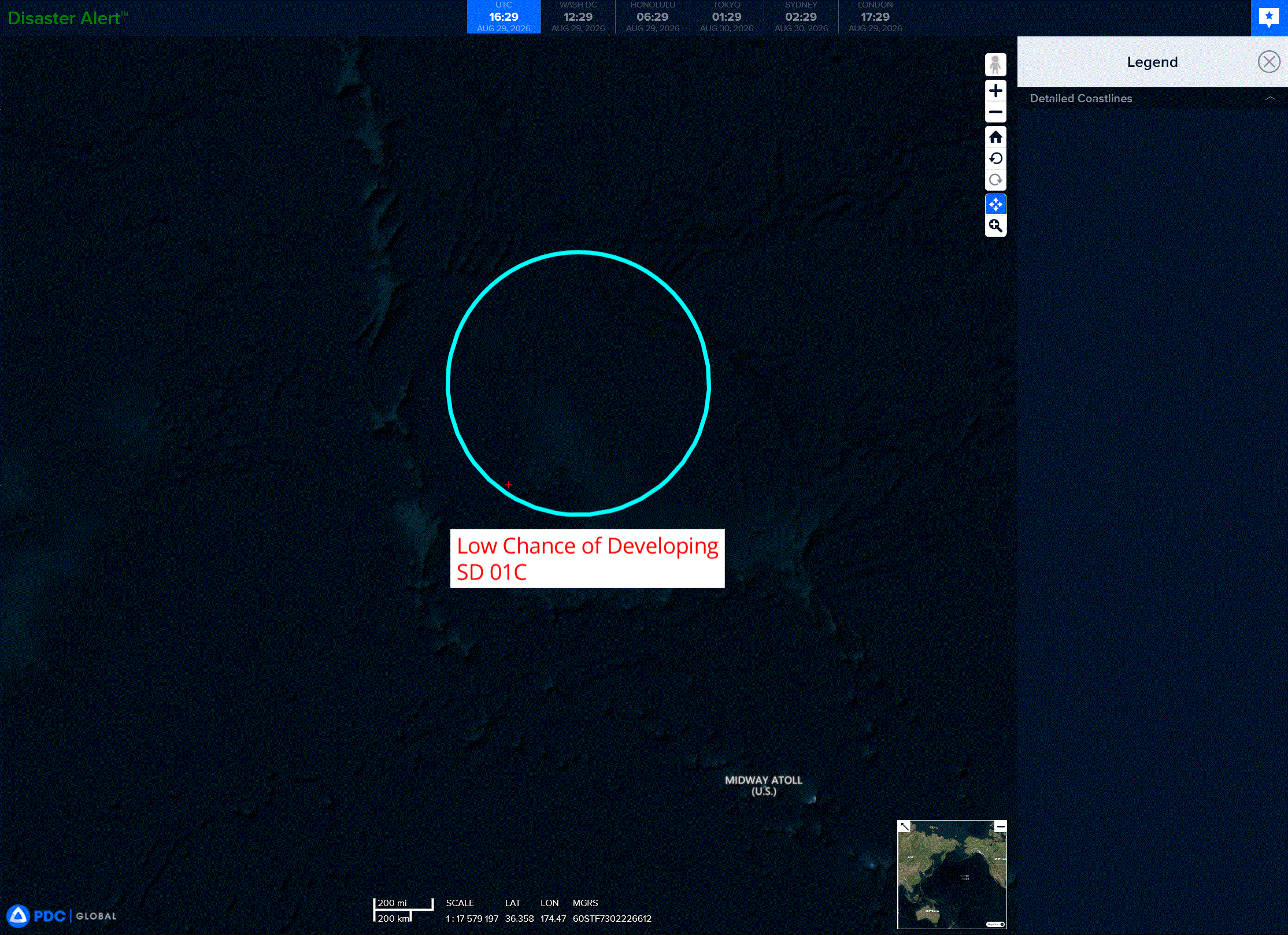
>>> There’s another area of disturbed weather that’s being referred to as SD 01C, which is located approximately 683 NM north-northwest of Midway Atoll
The system is currently classified as a subtropical cyclone, generally characterized as having both tropical
and mid-latitude cyclone features.
Multi-spectral satellite imagery (msi) depicts a broad but defined low-level circulation center devoid of convection.
Environmental analysis depicts a highly unfavorable area for development with high vws (50 kts), dry surrounding air, and cool sea surface temperatures (23-25 c).
Ensemble and deterministic models are in agreement for a gradual decay over the next 48 hours.
Maximum sustained surface winds are estimated at 32 to 38
knots.
Minimum sea level pressure is estimated to be near 1003 mb.
The potential for the development of a significant tropical cyclone within the next 24 hours remains low.