
")
Current Snapshot
For all the latest updates visit: DisasterAWARE
cristina
GOES19-EEP-13-900×540
goes19_ir_03E_202606101515_lat12.4-lon-88.7
101434INTQPF_sm
03E_tracks_latest
c
10
By PDC’s Senior Weather
Specialist Glenn James

The Pacific Disaster Center’s (PDC Global) Wednesday, June 10, 2026, Tropical Cyclone Activity Report…for the Pacific Ocean, the Indian Ocean, and adjacent Seas
Current Tropical Cyclones:
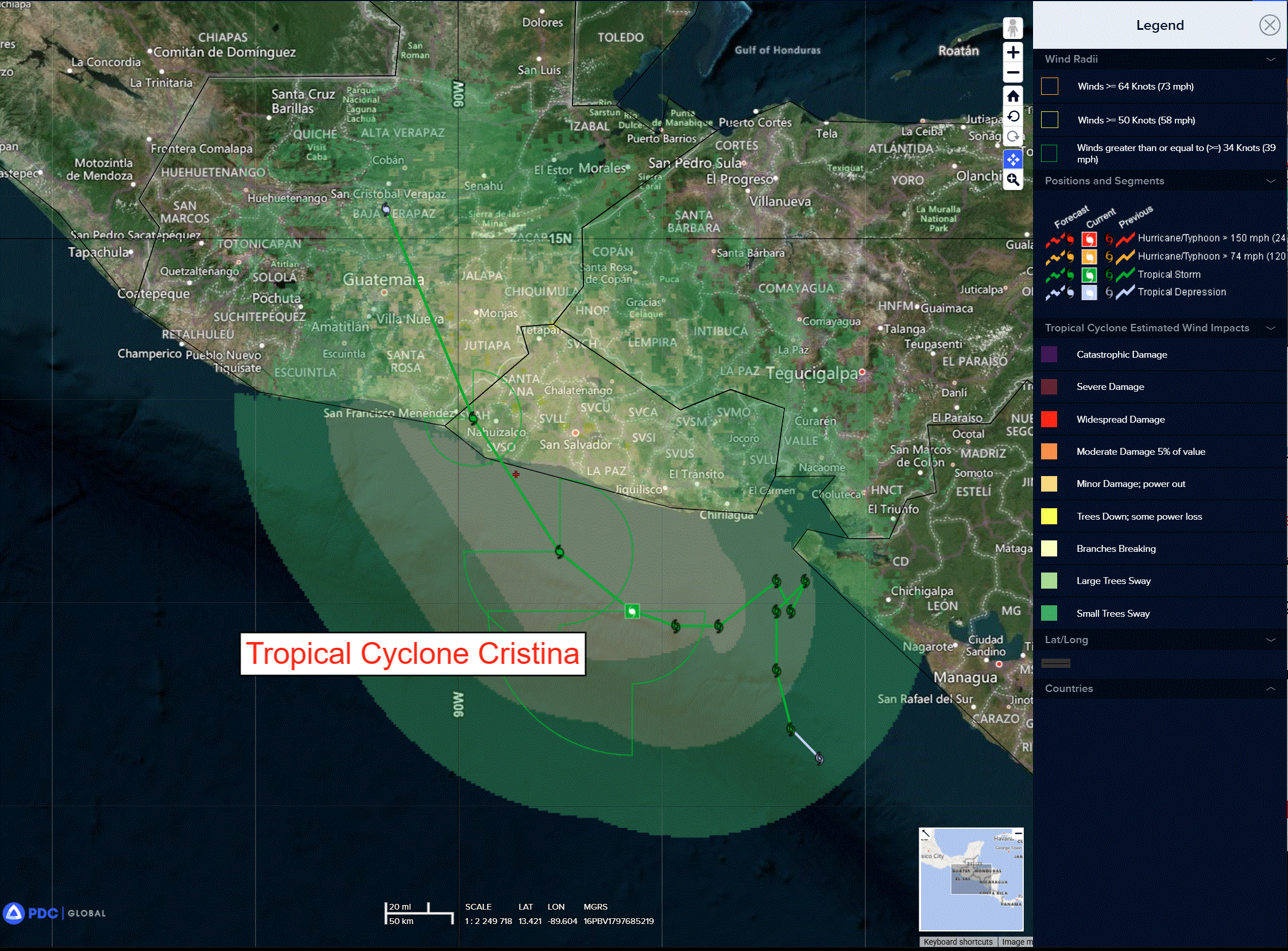
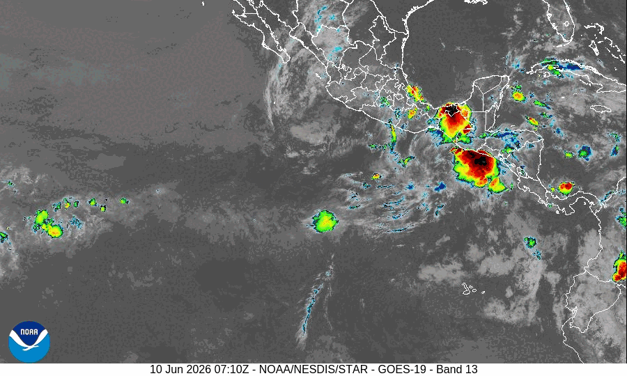
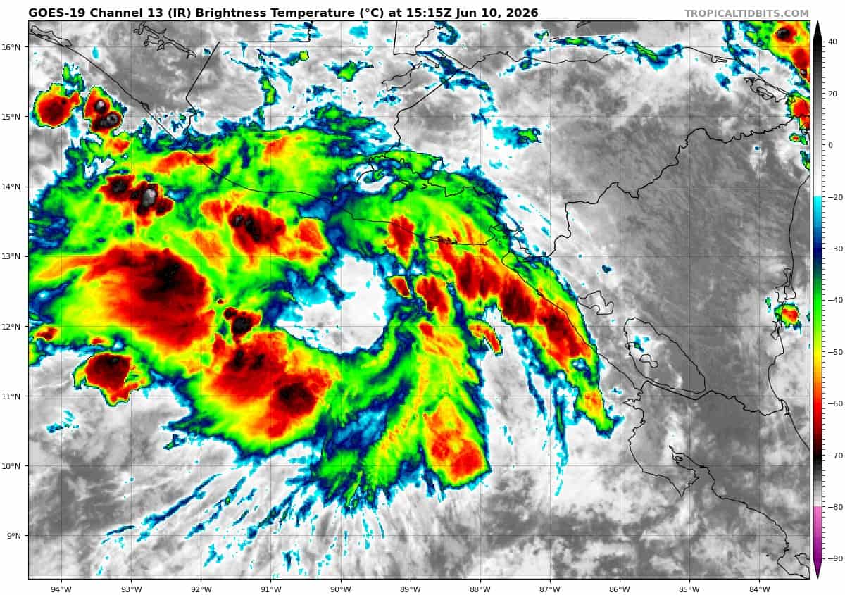
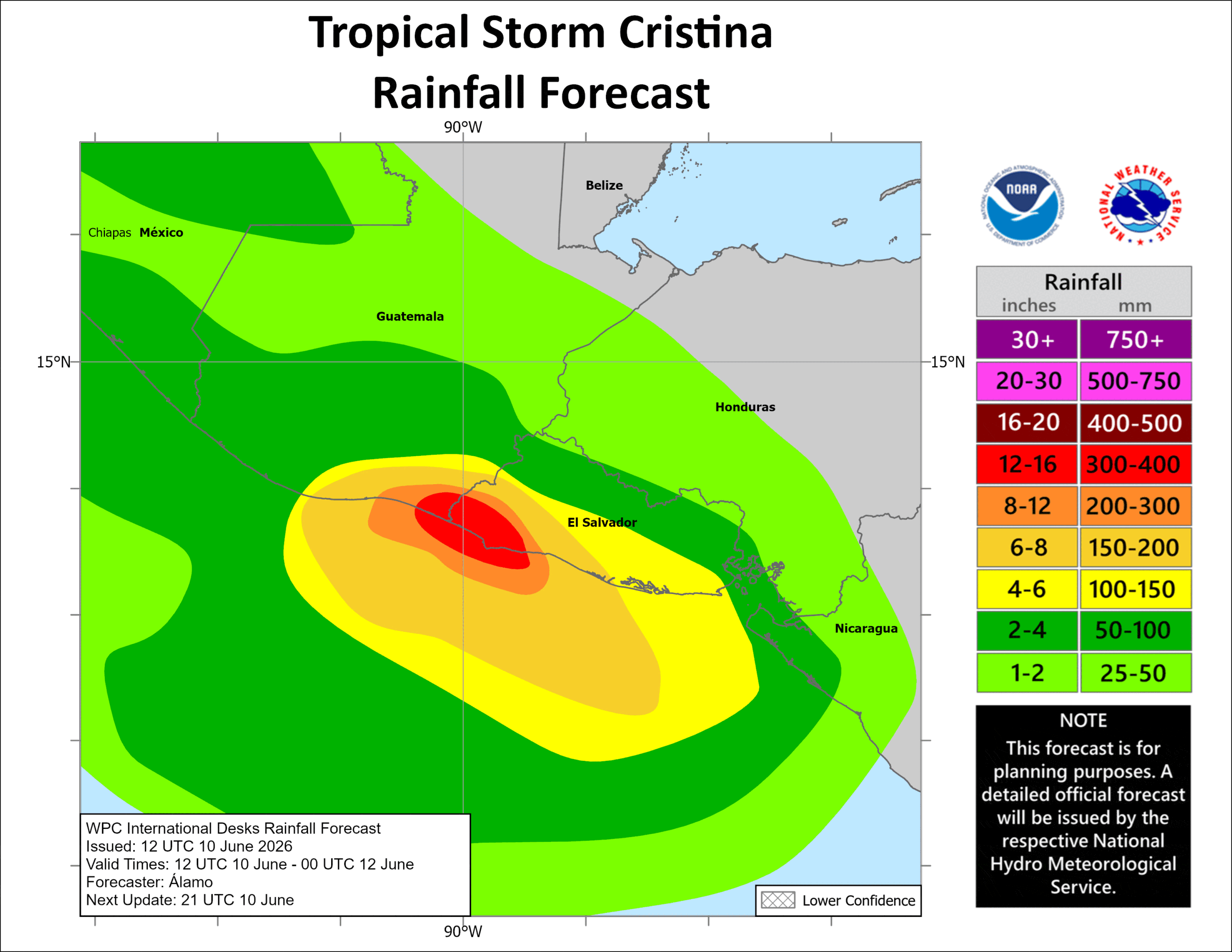
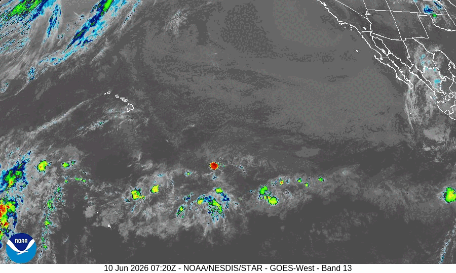
Post-Tropical Cyclone 03E (Cristina)…is located about 35 miles south of San Salvador, El Salvador
Northeast Pacific Ocean:
Tropical Cyclone 03E (Cristina) – Final Advisory
CRISTINA IS NO LONGER A TROPICAL CYCLONE
According to the NHC advisory number 12
Recent satellite-derived wind data and satellite imagery indicate that Cristina no longer has a well-defined center of circulation and has weakened to a remnant trough.
Central Pacific Ocean: There are no Tropical Cyclones
Tropical cyclone formation is not expected during the next 7 days.
Western Pacific, Indian Ocean, and adjacent Seas: There are no Tropical Cyclones
>>> South Indian Ocean
There’s an area of disturbed weather being referred to as Invest 95S, which is located approximately 663 NM south-southwest of La Reunion
The system is currently classified as a subtropical cyclone, generally characterized as having both tropical and mid-latitude cyclone features.
Animated multi-spectral satellite imagery (msi) depicts a disorganized low level circulation center (llcc) associated with flaring convection and elevated winds in the south-southwestern periphery, evident by a 101909z metop-c ascat pass depicting a small area of 40kts in the southern quadrant.
This system has an extremely low chance of becoming a tropical cyclone, and the system is remaining quasi-stationary due to the polar front jet (pfj) being split on the northern and southern sides of the system. Invest 95S is in a highly unfavorable environment with high vertical wind shear (35+ kts) and cold sea surface temperatures (sst) of 23-24c, offset by good poleward outflow.
All global deterministic and ensemble models depict a quasi-stationary track throughout the systems lifespan before being overtaken by vertical wind shear from the pfj.
Maximum sustained surface winds are estimated at 38 to 43 knots.
The potential for the development of a significant tropical cyclone within the next 24 hours is low.