Current Snapshot
For all the latest updates visit: DisasterAWARE
By PDC’s Senior Weather
Specialist Glenn James

The Pacific Disaster Center’s (PDC Global) Wednesday, August 27, 2025, Tropical Cyclone Activity Report…for the Atlantic Ocean, the Caribbean Sea, and the Gulf of America
Current Tropical Cyclones:
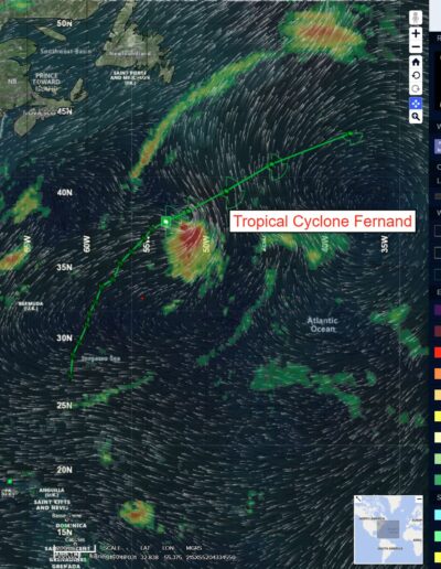
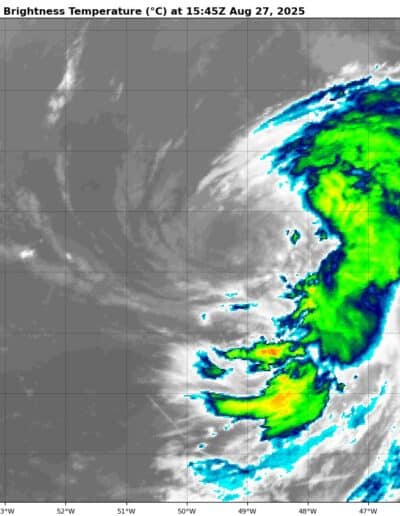
Tropical Cyclone Fernand…is located about 600 miles southeast of Cape Race, Newfoundland
Atlantic Ocean
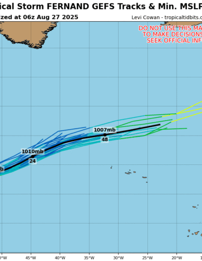
Tropical Cyclone Fernand
FERNAND LIKELY TO BECOME A POST-TROPICAL CYCLONE TOMORROW
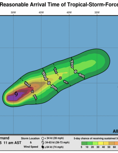
Fernand is moving toward the east-northeast near 18 mph (30 km/h), and a faster motion toward the east-northeast is expected through Thursday. Maximum sustained winds remain near 50 mph (85 km/h) with higher gusts. Slight weakening is expected during the next day or so. Fernand is forecast to become post-tropical on Thursday and then dissipate by early Friday. Tropical-storm-force winds extend outward up to 90 miles (150 km) from the center.
Eastern Tropical Atlantic
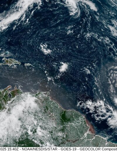
>>> A tropical wave is forecast to emerge off the west coast of Africa by this weekend to the south of the Cabo Verde Islands. Thereafter, environmental conditions appear favorable for some slow development of this system as it moves westward to west-northwestward at 15 to 20 mph, moving across the eastern into central Tropical Atlantic through the middle of next week.
* Formation chance through 48 hours…low…near 0 percent
* Formation chance through 7 days…low…20 percent
Caribbean Sea: There are no active tropical cyclones
Tropical cyclone formation is not expected during the next 7-days.
Gulf of America: There are no active tropical cyclones
Tropical cyclone formation is not expected during the next 7-days.
