Current Snapshot
For all the latest updates visit: DisasterAWARE
By PDC’s Senior Weather
Specialist Glenn James

The Pacific Disaster Center’s (PDC Global) Tuesday, August 26, 2025, Tropical Cyclone Activity Report…for the Atlantic Ocean, the Caribbean Sea, and the Gulf of America
Current Tropical Cyclones:
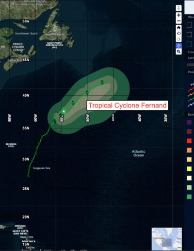
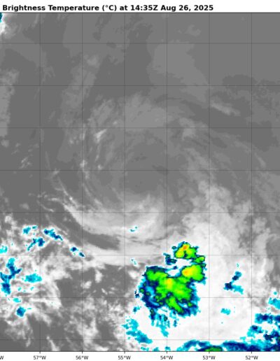
Tropical Cyclone Fernand…is located about 595 miles south of Cape Race, Newfoundland
Atlantic Ocean
Tropical Cyclone Fernand
FERNAND NOT DONE QUITE YET…FORECAST TO BECOME POST-TROPICAL BY LATE WEDNESDAY
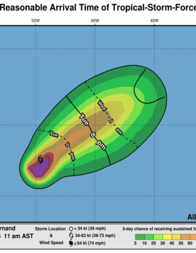
Fernand is moving toward the northeast near 12 mph (19 km/h). An acceleration toward the east-northeast is expected during the next couple of days. Maximum sustained winds are near 40 mph (65 km/h) with higher gusts. Some slight restrengthening is possible by Wednesday, but Fernand is likely to become post-tropical by Wednesday night. The low is expected to dissipate by Thursday night. Tropical-storm-force winds extend outward up to 90 miles (150 km) from the center.
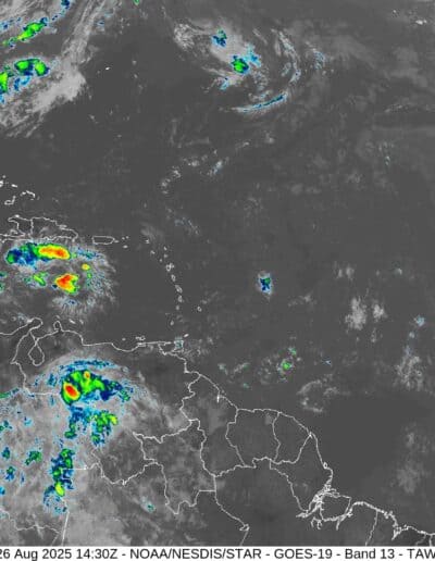
Caribbean Sea: There are no active tropical cyclones
Tropical cyclone formation is not expected during the next 7-days.
Gulf of America: There are no active tropical cyclones
Tropical cyclone formation is not expected during the next 7-days.


