
")
Current Snapshot
For all the latest updates visit: DisasterAWARE
1800×1080
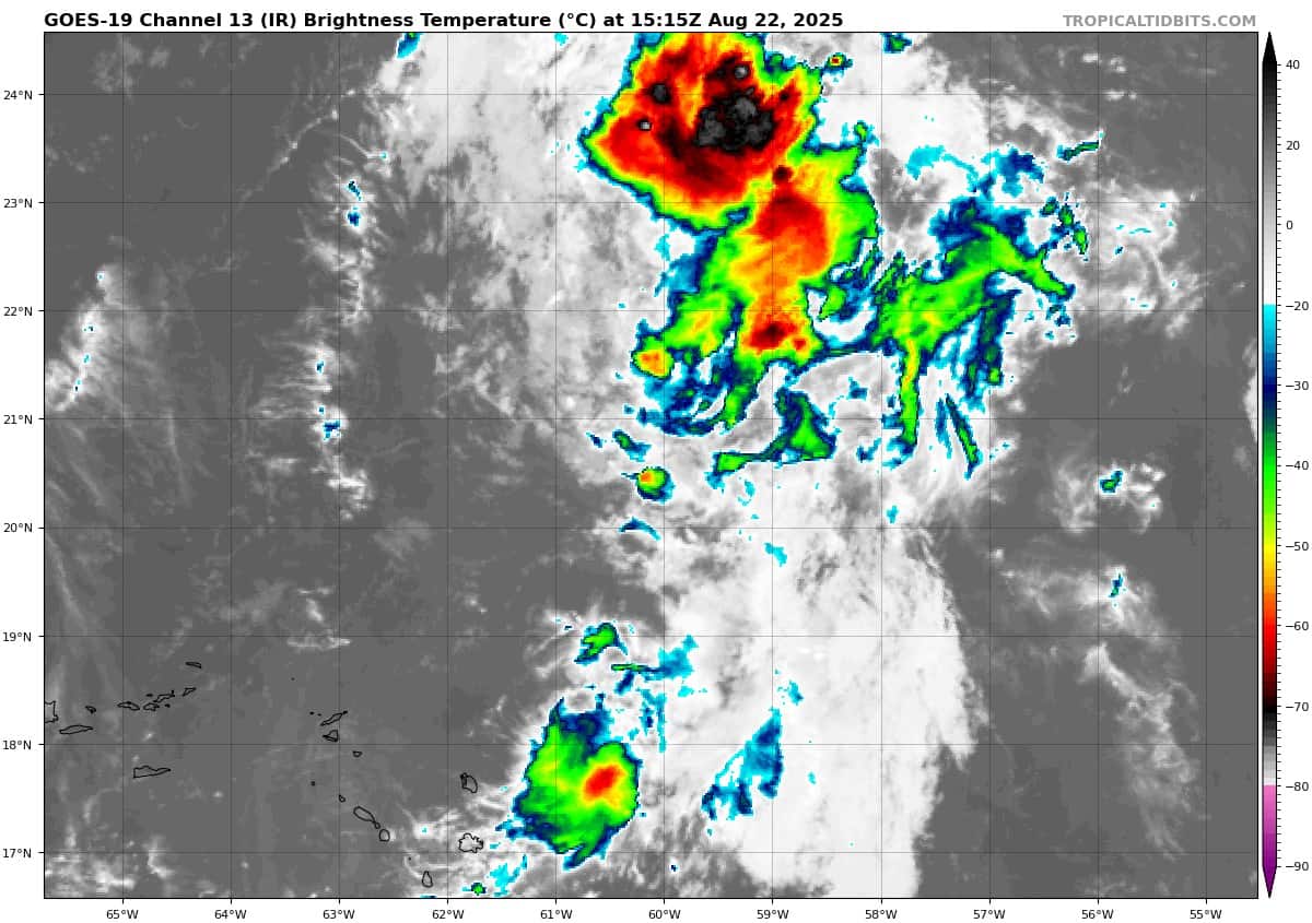
goes19_ir_90L_202508221515_lat20.0-lon-59.6
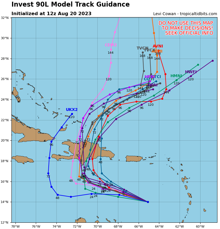
90L_tracks_latest
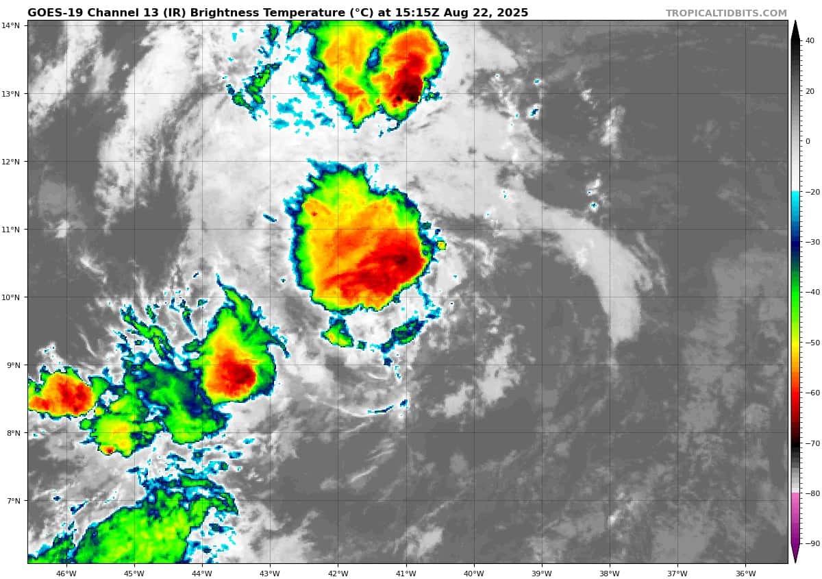
goes19_ir_99L_202508221515_lat10.1-lon-40.2

99L_tracks_latest
By PDC’s Senior Weather
Specialist Glenn James

The Pacific Disaster Center’s (PDC Global) Friday, August 22, 2025, Tropical Cyclone Activity Report…for the Atlantic Ocean, the Caribbean Sea, and the Gulf of America
Current Tropical Cyclones:
There are no Tropical Cyclones at the time of this writing
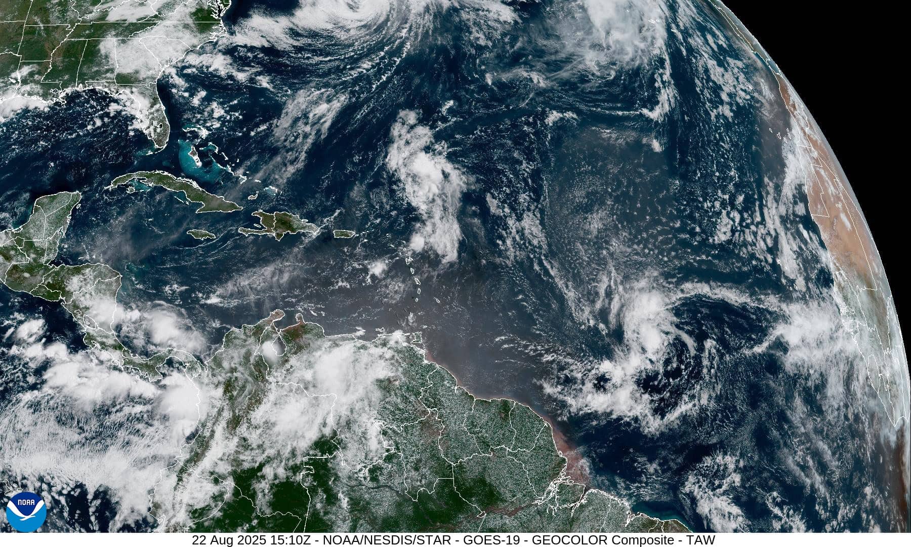
Atlantic Ocean
Southwestern Atlantic
Invest 90L
>>> Showers and thunderstorms have become a little better organized in association with a trough of low pressure located a few hundred miles north of the northern Leeward Islands. Environmental conditions appear conducive for further development of this system, and a tropical storm is expected to form this weekend while it moves north-northwestward and then northward over the southwestern Atlantic. Interests in Bermuda should monitor the progress of this system as watches or warnings could be required later today.
* Formation chance through 48 hours…high…80 percent
* Formation chance through 7 days…high 90 percent
Central Tropical Atlantic
Invest 99L
>>> Showers and thunderstorms associated with a tropical wave located more than one thousand miles east of the Windward Islands have become less organized over the past 24 hours, and the system is currently being affected by strong wind shear. No development is expected through tonight while the system traverses the area of strong wind shear. The wave could reach a slightly more favorable environment Sunday and Monday as it approaches the Windward Islands, and some slow development is possible during that time. By the middle of next week, conditions over the Caribbean are expected to be unfavorable for further development.
* Formation chance through 48 hours…low…10 percent
* Formation chance through 7 days…low…20 percent
Caribbean Sea: There are no active tropical cyclones
Tropical cyclone formation is not expected during the next 7-days.
Gulf of America: There are no active tropical cyclones
Tropical cyclone formation is not expected during the next 7-days.