
")
Current Snapshot
For all the latest updates visit: DisasterAWARE
epac

1800×1080
wipha
09W_181200sair

09W_tracks_latest
By PDC’s Senior Weather
Specialist Glenn James

The Pacific Disaster Center’s (PDC Global) Friday, July 18, 2025, Tropical Cyclone Activity Report…for the Pacific Ocean, the Indian Ocean, and adjacent Seas
Current Tropical Cyclones:
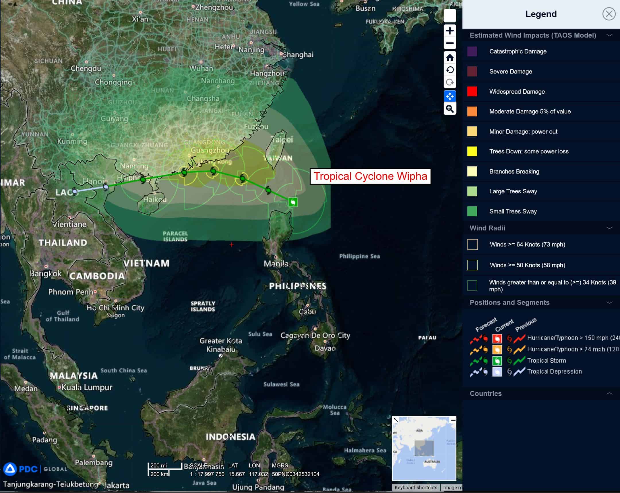
Tropical Cyclone 09W (Wipha)…is located 340 NM east-southeast of Hong Kong
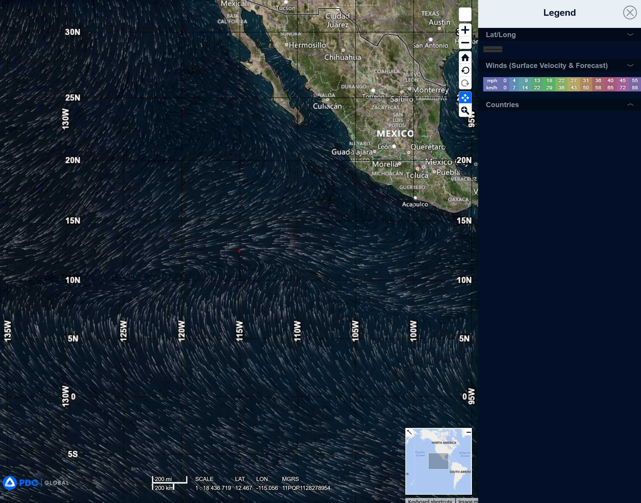
Northeast Pacific Ocean: There are no Tropical Cyclones
Tropical cyclone formation is not expected during the next 7-days.
Central Pacific Ocean: There are no Tropical Cyclones
Tropical cyclone formation is not expected during the next 7-days.
Western Pacific, Indian Ocean, and adjacent Seas:
Western Pacific
Tropical Cyclone 09W (Wipha)
According to the JTWC warning number 3 sustained winds are 50 knots with gusts to near 65 knots
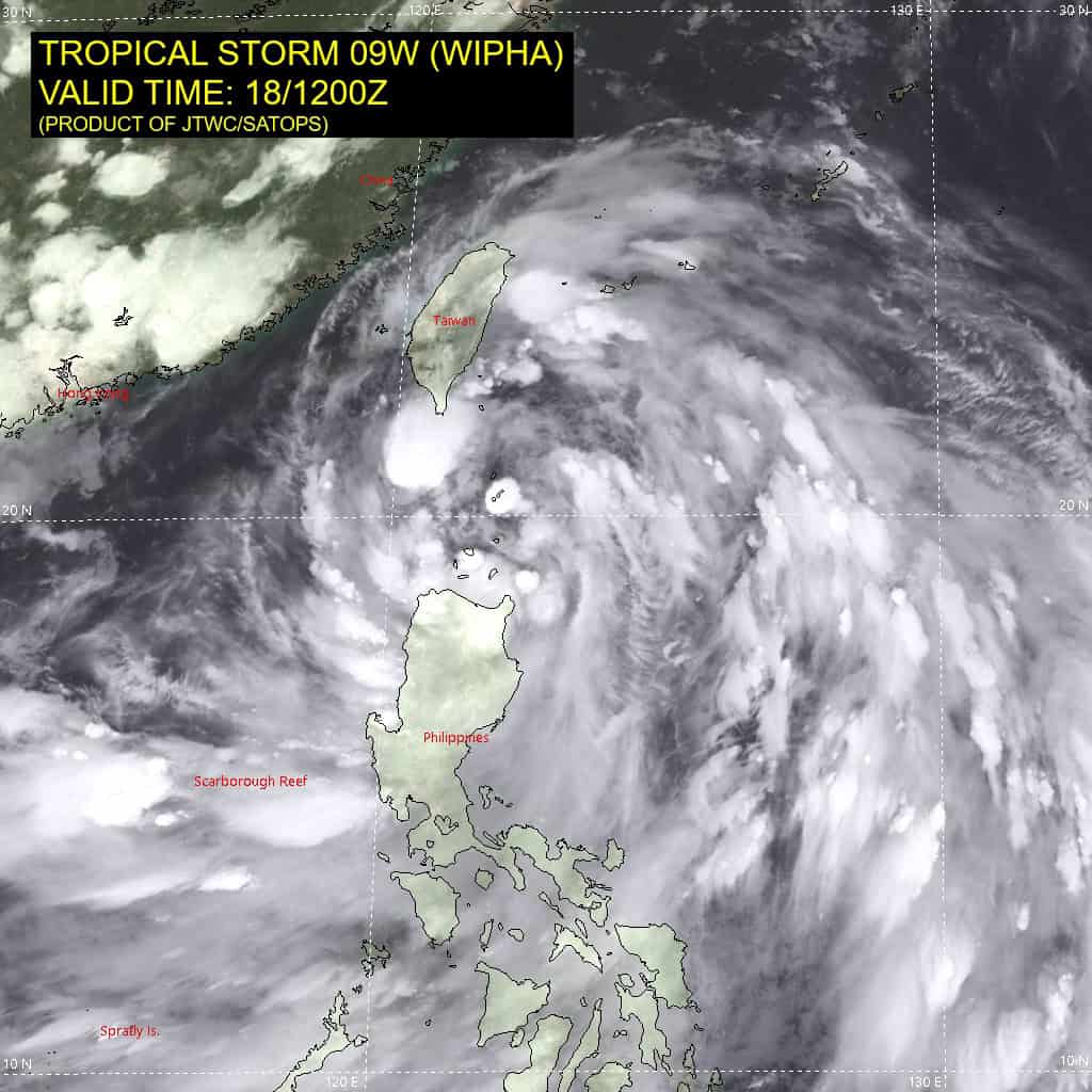
Tropical storm 09W has transitioned from a monsoon depression to a warm-core tropical system as indicated in animated enhanced infrared satellite imagery, with improved, tighter deep convective banding wrapping into the low-level circulation center (llcc) and consolidating core structure.
A ascat-b partial image indicates 30-35 knot southerly winds along the eastern semicircle, with a radius of maximum winds of approximately 65 NM, more typical of tropical cyclones. a 181000z rcm-1 sar pass reveals a broad center, with 35-45 knot winds along the eastern periphery. However, incidence angles are rather high (45-55 degrees) and the data appears to be excessively high.
TS 09W is forecast to track west-northwestward along the southwest periphery of the subtropical ridge (str) toward a break in the str associated with a mid-latitude shortwave trough expected to dig over central China from 24 to 36 hours.
Environmental conditions are favorable for further development, with radial outflow, low vertical wind shear and warm sst values. However, TS 09W has a limited period of time of about 36 hours to develop before approaching southern China and the Hong Kong region, with increased frictional effects limiting the peak intensity. There is some uncertainty in the peak intensity, with 60-65 knots
possible if the system is able to consolidate quickly and develop a
more contracted low-level circulation center.
After 36 hours, the shortwave trough will propagate northeastward allowing the str to re-build to the north and northwest. This will drive 09W (Wipha) on a more westward to west-southwestward track toward and over northern Vietnam. As the system skirts the southern coast of China, interaction with land will gradually weaken the large system from 36 to 120 hours, with dissipation likely toward the end of the forecast period.