
")
Current Snapshot
For all the latest updates visit: DisasterAWARE
epac

1800×1080
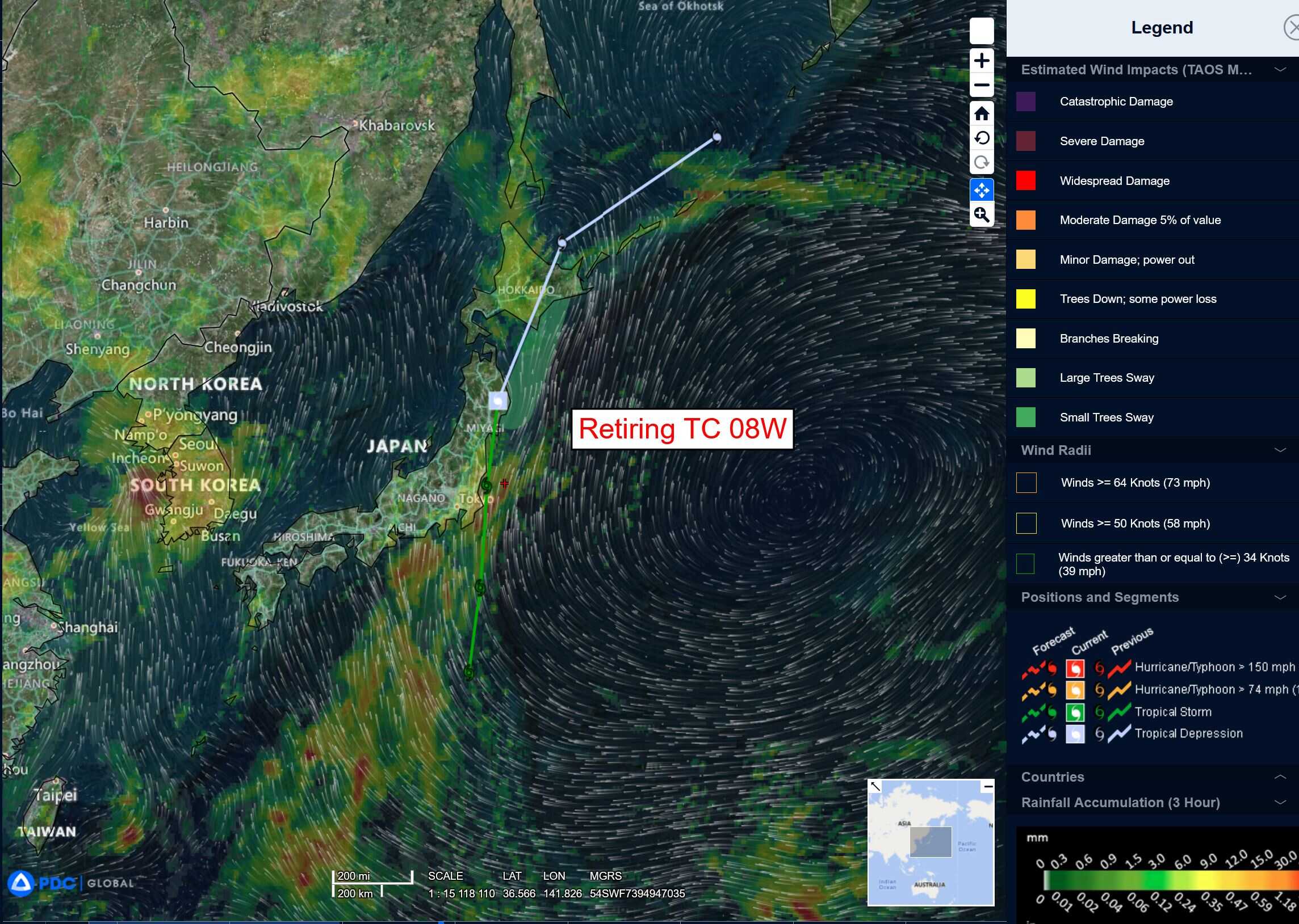
08w
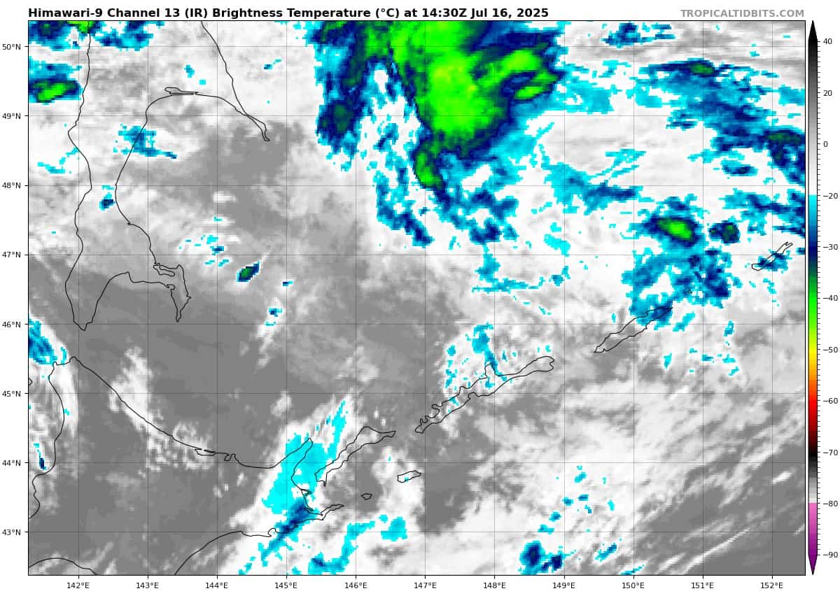
himawari9_ir_08W_202507161430_lat45.0-lon145.8
96W_tracks_latest
By PDC’s Senior Weather
Specialist Glenn James

The Pacific Disaster Center’s (PDC Global) Wednesday, July 16, 2025, Tropical Cyclone Activity Report…for the Pacific Ocean, the Indian Ocean, and adjacent Seas
Current Tropical Cyclones:
Tropical Cyclone 01S…which is located 442 NM west-northwest of the Cocos Islands
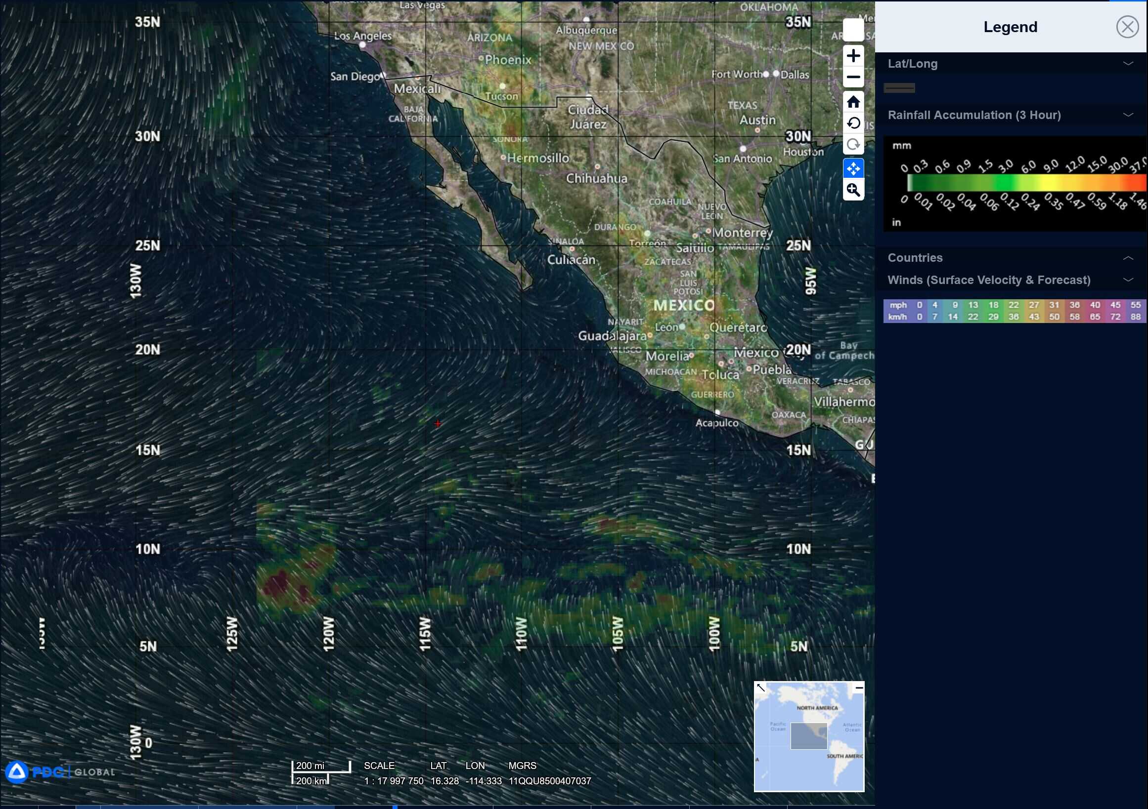
Northeast Pacific Ocean: There are no Tropical Cyclones
Tropical cyclone formation is not expected during the next 7-days.
Central Pacific Ocean: There are no Tropical Cyclones
Tropical cyclone formation is not expected during the next 7-days.
Western Pacific, Indian Ocean, and adjacent Seas:
Western Pacific
Tropical Cyclone 01S
According to the JTWC warning number 1, sustained winds are 35 knots with gusts to near 45 knots
Animated enhanced infrared (eir) satellite imagery depicts partially exposed cyclonic turning into a low-level circulation center, 15-20 knot vertical wind shear displaces the deep convection southwest of the center. Water vapor imagery reveals moderate poleward outflow into a jet stream maxima to the south.
Tropical cyclone 01S will track west-southwestward over the next 36 hours. Between 36-72 hours, the system will curve southwestward as it begins to round the periphery of the subtropical ridge to the south.
Slight intensification is anticipated in the near-term as the system remains in warm sea surface temperatures, favorable upper-level diffluence, and 10-15 knots wind shear, reaching a peak intensity of 40 knots by 36 hours. vertical wind shear will increase unfavorably above 20 knots after 36 hours, initiating a period of weakening. Ultimately, tropical cyclone 01sS will dissipate below warning threshold by 72 hours.
>>> There’s an area of disturbed weather being referred to as Invest 96W, which is located approximately 318 NM east of Manila, Philippines
The system is currently classified as a monsoon depression, generally characterized as a large cyclonic circulation, greater than 600 NM diameter, with extensive gale-force winds over the southeastern periphery and a weak core of light winds.
Animated multi-spectral satellite imagery (msi) depicts an elongated, poorly organized low
level circulation center (llcc) with flaring convection. A ascat-b image displays a large core of weak winds, with 25-30 knot winds along the periphery. A partial 170047z atms 88.2ghz microwave image displays fragmented banding along the eastern and western peripheries with no defined llcc.
Environmental analysis reveals a marginal environment for development with low to moderate vertical wind shear (vws) of 15-20 knots, good equatorward upper-level
outflow, and warm sea surface temperatures (sst).
The models consolidate the system into a tropical cyclone, with 35-40 knot winds over the next 24-36 hours.
Maximum sustained surface winds are estimated at 25 to 30 knots.
The potential for the development of a significant tropical cyclone within the next 24 hours remains high.