
")
Current Snapshot
For all the latest updates visit: DisasterAWARE
1800x1080e
By PDC’s Senior Weather
Specialist Glenn James

The Pacific Disaster Center’s (PDC Global) Saturday, December 13, 2025, Tropical Cyclone Activity Report…for the Pacific Ocean, the Indian Ocean, and adjacent Seas
Current Tropical Cyclones:
Tropical Cyclone 07S (Bakung) is located approximately 236 NM north-northwest of the Cocos Islands
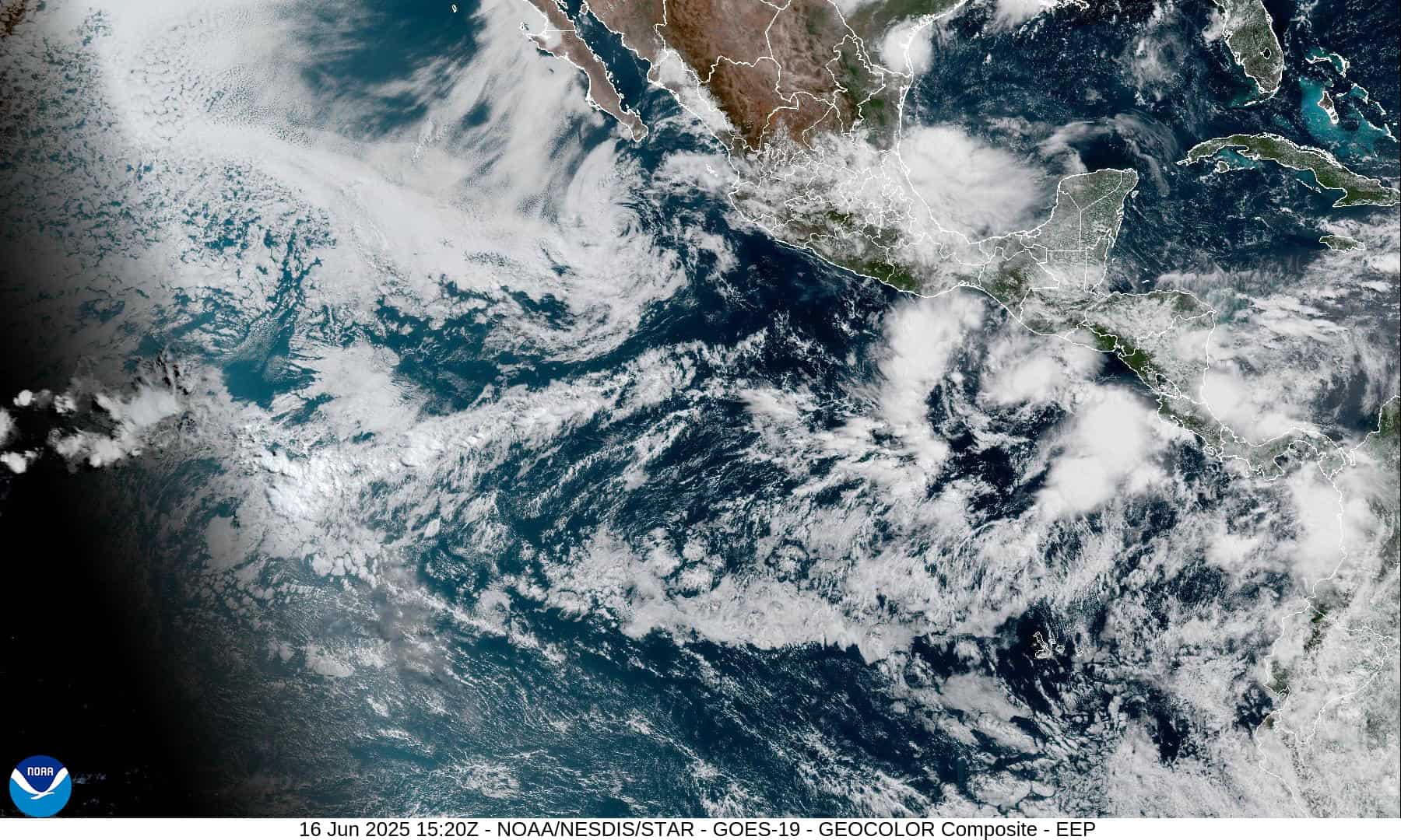
Northeast Pacific Ocean: There are no Tropical Cyclones
The last regularly scheduled Tropical Cyclone Activity Report of the 2025 eastern North Pacific Hurricane Season has been issued. Routine issuance of this section of the PDC product will resume on May 15, 2026. During the off-season, Special Tropical Weather Outlooks will be issued as conditions warrant by the NHC.
Central Pacific Ocean: There are no Tropical Cyclones
The 2025 central North Pacific hurricane season has ended. As such, the final routine Tropical Cyclone Activity Report for the 2025 season has been issued. Routine issuance of this section of the PDC product will resume on June 1, 2026. During the off-season, Special Tropical Weather Outlooks will be issued as conditions warrant by the CPHC.
Western Pacific, Indian Ocean, and adjacent Seas:
South Indian Ocean
Tropical Cyclone 07S (Bakung)
According to the JTWC warning number 4, sustained winds are 45 knots with 55 knot gusts
Southwest Pacific Ocean
>>> There’s an area of disturbed weather being referred to as Invest 94P, which is located approximately 363 NM north of Port Vila
Animated multispectral satellite imagery (msi) depicts an obscured, low level circulation (llc) with persistent deep convection building over the center, embedded within the south pacific convergence zone (spcz).
Environmental analysis reveals low vertical wind shear (vws) of 05-10 knots, good upper level outflow, and warm sea surface temperatures (sst) of 29-30 c.
Global models are in poor agreement in portraying 94P. gfs and the gefs ensemble are the most aggressive, in steadily consolidating and intensifying 94P as it tracks to the ESE, while the ecmwf deterministic model is doing a poor job in initializing the system and carries this forward, not depicting a circulation center at all. There are currently no other mesoscale models available, and confidence in the future track and intensity trend is low.
Maximum sustained surface winds are estimated at 28 to 33 knots.
The potential for the development of a significant tropical cyclone within the next 24 hours remains high.
South Indian Ocean
>>> There’s an area of disturbed weather being referred to as Invest 93S, which is located approximately 523 NM east-southeast of Christmas Island
Animated multispectral satellite imagery and a 121808z amsr2 89 ghz microwave image depict a consolidating partially exposed low-level circulation center with flaring convection along the southwestern periphery.
Environmental analysis shows a marginally favorable environment with strong poleward outflow aloft, low to moderate vertical wind shear (15 to 20 kts), and warm sea surface temperatures (28 to 29 c).
Global models agree on 93S staying quasi-stationary as the system slowly starts to develop and condense over the next few days.
Maximum sustained surface winds are estimated at 13 to 18 knots.
The potential for the development of a significant tropical cyclone within the next 24 hours is low.