Current Snapshot
For all the latest updates visit: DisasterAWARE
By PDC’s Senior Weather
Specialist Glenn James

The Pacific Disaster Center’s (PDC Global) Sunday, July 13, 2025, Tropical Cyclone Activity Report…for the Pacific Ocean, the Indian Ocean, and adjacent Seas
Current Tropical Cyclones:
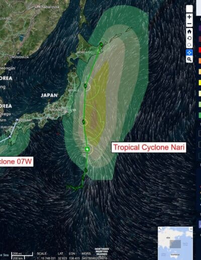
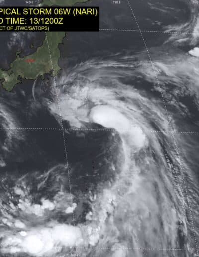
Tropical Cyclone 06W (Nari) is located approximately 143 NM east-southeast of Yokosuka, Japan
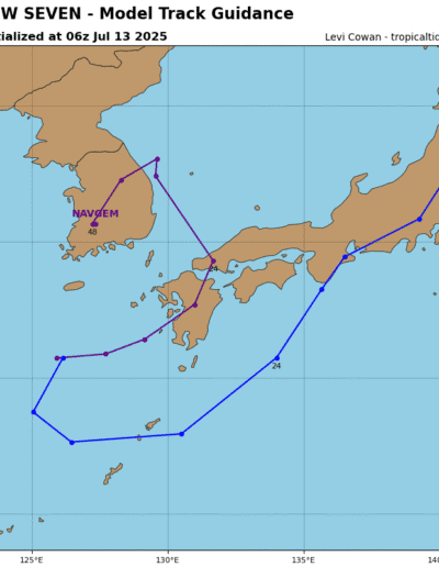
Tropical Cyclone 07W is located approximately 60 NM east-southeast of Sasebo, Japan – Final Warning
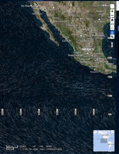
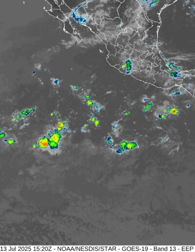
Northeast Pacific Ocean: There are no Tropical Cyclones
Tropical cyclone formation is not expected during the next 7-days.
Central Pacific Ocean: There are no Tropical Cyclones
Tropical cyclone formation is not expected during the next 7-days.
Western Pacific, Indian Ocean, and adjacent Seas:
Western Pacific
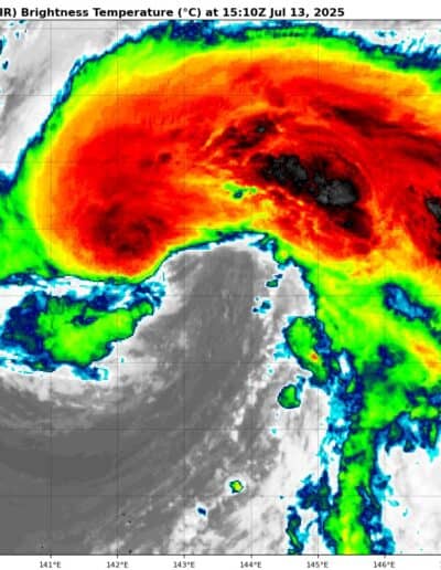
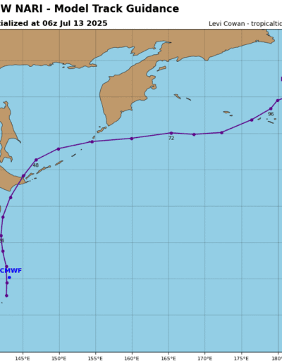
Tropical Cyclone 06W (Nari)
According to the JTWC Warning number 13, sustained winds were 45 knots with gusts to near 55 knots
Animated enhanced infrared (eir) satellite imagery depicts a rapidly consolidating low-level circulation (llc), with deep convection building over the llc and wrapping around the northwestern quadrant. Although anticipated, the system’s organization has improved significantly in a short period.
The uw-cimss upper-level winds indicate that the tutt cell has filled and weakened allowing upper-level outflow to expand quickly over the northwestern quadrant. A 131211z ascat-c bullseye image shows a swath of 40-50 knot winds over the eastern semicircle
Tropical storm 06W is forecast to track quickly northward through 24 hours along the western periphery of the subtropical ridge (str). As anticipated, TS 06W has consolidated quickly due to the rapidly improving poleward outflow and weakening tutt cell and is forecast to peak at 55 knots by 12 hours.
There is some uncertainty in the peak intensity, with potential for slightly higher peak intensity values over the next 12 hours. After 12 hours, the system will begin to steadily weaken due to cooling sst
temperatures.
After 24 hours, TS 06W will gradually recurve around the northwestern periphery of the str and will undergo extra-tropical transition (ett) while accelerating north-northeastward. TS 06W will complete ett by 36 hours as it becomes embedded in the mid-latitude westerlies poleward of the str.
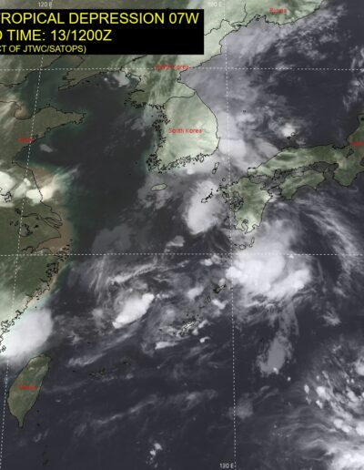
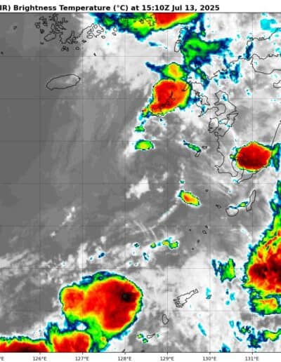
Tropical Cyclone 07W – Final Warning
According to the JTWC Warning number 6, sustained winds were 25 knots with gusts to near 35 knots
This system is classified as a subtropical cyclone, with structural features characteristic of both tropical and mid-latitude cyclones.
Animated multi-spectral satellite imagery (msi) depicts a broad, exposed low-level circulation, with flaring deep convection to the northeast. The initial position is placed with medium confidence based on the msi. a 130734z ssmis 91ghz color composite microwave image depicts weak banding wrapping into a broad low-level circulation center. The initial intensity of 30 knots is assessed with medium confidence.
Subtropical depression 07W is embedded within a deep upper-level major shortwave trough positioned over the Korean Peninsula and East China Sea. This is forecast to drive the system eastward to east-northeastward through 12 hours.
After 12 hours, the system is expected to turn poleward and track along the eastern coast of the Korean Peninsula as it transitions to the str positioned to the east. Slight intensification to subtropical storm strength is expected by 24 hours driven by the upper-level dynamical support of the major short-wave trough.
