Current Snapshot
For all the latest updates visit: DisasterAWARE
By PDC’s Senior Weather
Specialist Glenn James

The Pacific Disaster Center’s (PDC Global) Thursday, August 28, 2025, Tropical Cyclone Activity Report…for the Atlantic Ocean, the Caribbean Sea, and the Gulf of America
Current Tropical Cyclones:
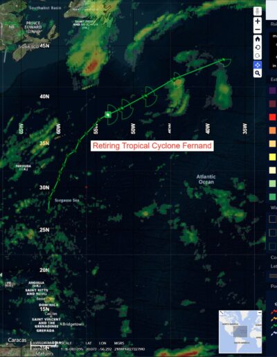
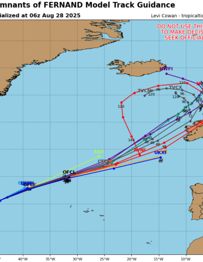
Post-Tropical Cyclone Fernand…is located about 635 miles east-southeast of Cape Race, Newfoundland – Last Advisory
Atlantic Ocean
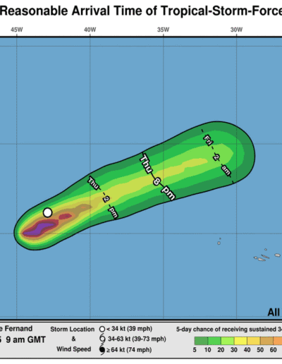
Tropical Cyclone Fernand – Last Advisory
FERNAND BECOMES A POST-TROPICAL CYCLONE
The post-tropical cyclone is moving toward the east-northeast near 23 mph (37 km/h) and this motion with some additional increase in forward speed is forecast until the system opens up into a trough. Maximum sustained winds have decreased to near 45 mph (75 km/h) with higher gusts. The post-tropical cyclone is expected to open up into a trough in 24-36 hours. Tropical-storm-force winds extend outward up to 80 miles (130 km) from the center.
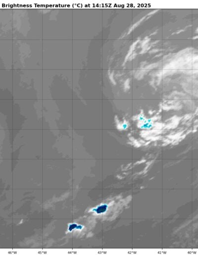
Eastern Tropical Atlantic
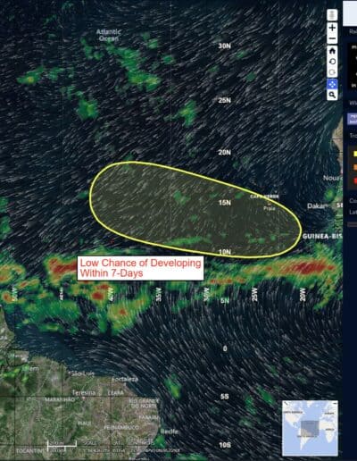
>>> A tropical wave is forecast to emerge off the west coast of Africa on Sunday. Thereafter, environmental conditions could support some slow development of this system while it moves westward to west-northwestward at 15 to 20 mph, moving across the eastern and central tropical Atlantic next week.
* Formation chance through 48 hours…low…near 0 percent
* Formation chance through 7 days…low…20 percent
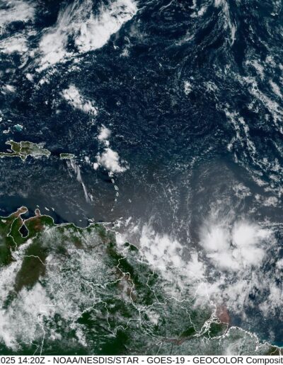
Caribbean Sea: There are no active tropical cyclones
Tropical cyclone formation is not expected during the next 7-days.
Gulf of America: There are no active tropical cyclones
Tropical cyclone formation is not expected during the next 7-days.
