
")
Current Snapshot
For all the latest updates visit: DisasterAWARE
epac
1800x1080e
97s
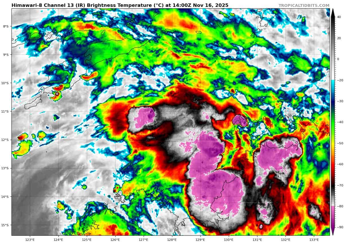
himawari8_ir_97S_202511161400_lat-11.4-lon127.6
97S_tracks_latest
By PDC’s Senior Weather
Specialist Glenn James

The Pacific Disaster Center’s (PDC Global) Sunday, November 16, 2025, Tropical Cyclone Activity Report…for the Pacific Ocean, the Indian Ocean, and adjacent Seas
Current Tropical Cyclones:
There are no Tropical Cyclones
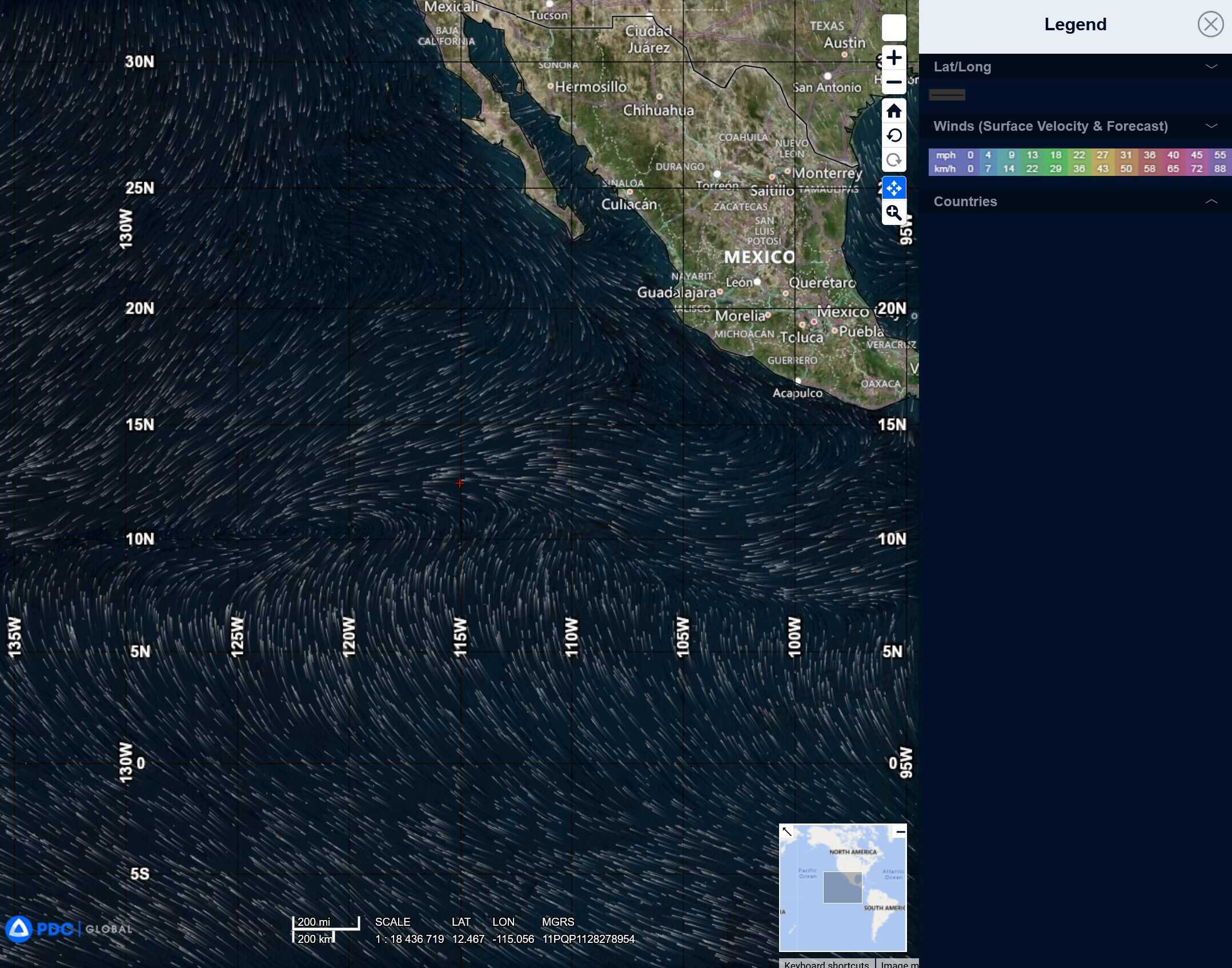
Northeast Pacific Ocean: There are no Tropical Cyclones
Tropical cyclone formation is not expected during the next 7 days.
Central Pacific Ocean: There are no Tropical Cyclones
Tropical cyclone formation is not expected during the next 7 days.
Western Pacific, Indian Ocean, and adjacent Seas:
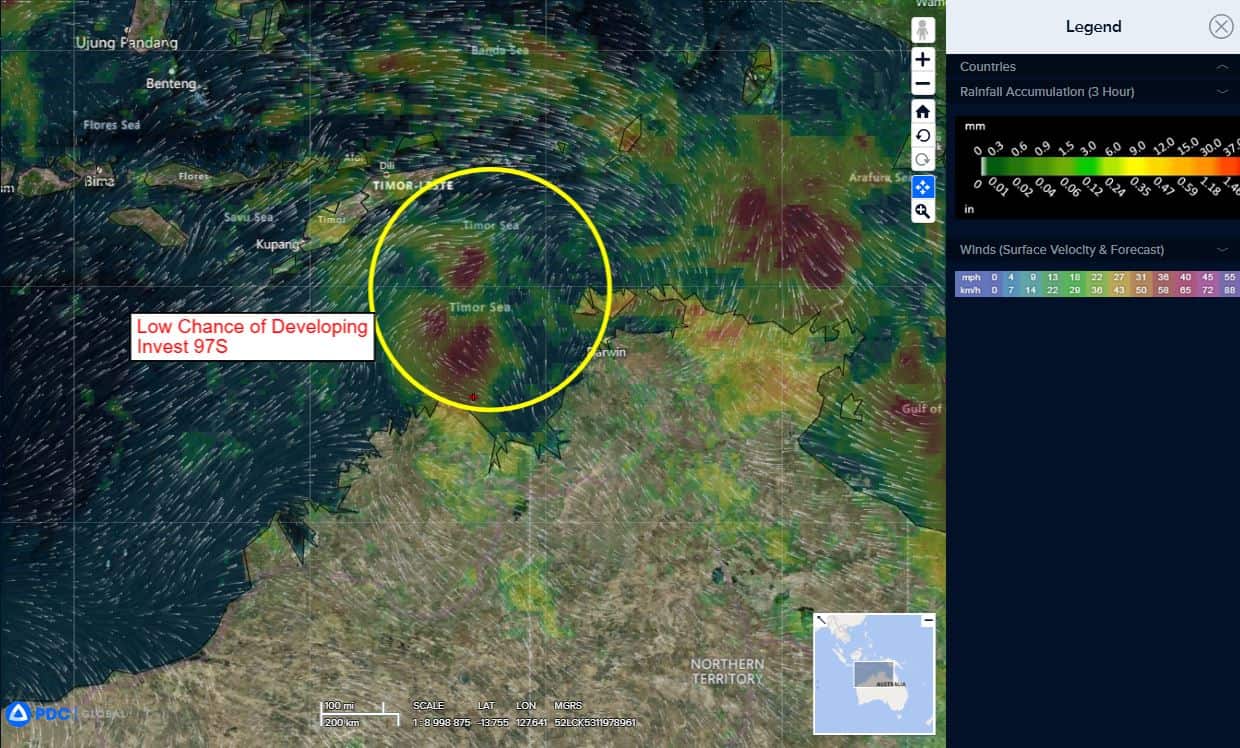
South Indian Ocean
>>> There’s an area of disturbed weather being referred to as Invest 97S, which is located approximately 219 NM west-northwest of Darwin, Australia
Multi-spectral satellite imagery shows a consolidating llcc with convective banding starting to wrap along the northern semicircle. A 161334z ascat pass depicts a very small circulation, with a swath of 25-30 kt winds over the western periphery of 97S.
Maximum sustained surface winds are estimated at 13 to 18
knots.The potential for the development of a significant tropical cyclone within the next 24 hours is low.