Western Pacific, Indian Ocean, and adjacent Seas: There are no active tropical cyclones
Current Snapshot
For all the latest updates visit: DisasterAWARE
By PDC’s Senior Weather
Specialist Glenn James

The Pacific Disaster Center’s (PDC Global) Sunday, August 17, 2025, Tropical Cyclone Activity Report…for the Pacific Ocean, the Indian Ocean, and adjacent Seas
Current Tropical Cyclones:
There are not active tropical cyclones
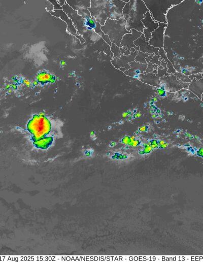
Northeast Pacific Ocean: There are no active tropical cyclones
Tropical cyclone formation is not expected during the next 7 days.
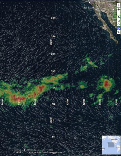
Central Pacific Ocean: There are no active tropical cyclones
Tropical cyclone formation is not expected during the next 7 days.
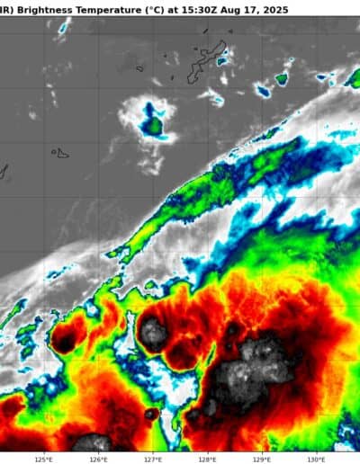
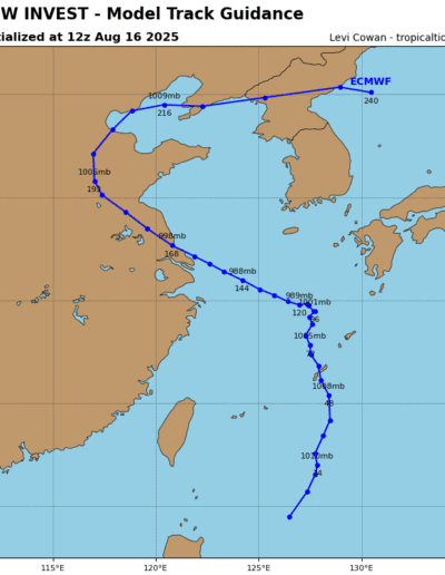
>>> There’s an area of disturbed weather being referred to as Invest 92W, which is located approximately 236 NM south of Kadena AB
Animated multi-spectral satellite imagery (msi) depicts a partially exposed low level circulation center (llcc), embedded within a reverse oriented monsoon trough. Flaring convection continues along the southern periphery and is consolidating into formative banding.
Environmental analysis for the area indicates favorable conditions with low vertical wind shear (10-15 knots, warm
sea surface temperatures (29-30 c), and strong eastward outflow aloft.
Global models are in good agreement that 92W will track generally northward over the next 24 hours. ECENS and GEFS ensemble guidance agree that 92W will develop, but with the ECENS model being more aggressive than the GEFS.
Maximum sustained surface winds are estimated at 18 to 23 knots.
The potential for the development of a significant tropical cyclone within the next 24 hours remains high.
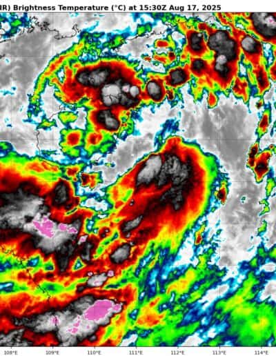
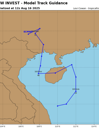
>>> There’s a second area of disturbed weather being referred to as Invest 91W, which is located approximately 155 NM southeast of Hanoi
Animated multi-spectral satellite imagery (msi) depicts deep convection building over a consolidating low-level circulation center (llcc), also having curved convective banding to the southeast. A contracting wind field and reduction of the radius of maximum winds indicates that a transition from a monsoon depression into a tropical depression is commencing.
Environmental analysis for the area indicates favorable conditions for development with low vertical wind shear (10-15 knots), warm sea surface temperatures (30-31 c), and moderate equatorward outflow aloft.
Global models are in good agreement that 91W will track northward over the next 24-36 hours. ECENS and GEFS ensemble guidance show a fair agreement that 91W will develop, but with the ECENS model being more aggressive than the GEFS.
Maximum sustained surface winds are estimated at 23 to 28 knots.
The potential for the development of a significant tropical cyclone within the next 24 hours is upgraded to high.
>>> There’s a third area of disturbed weather being referred to as Invest 90W, which is located approximately 358 NM southeast of Anderson AFB, Guam
Maximum sustained surface winds are estimated at 18 to 23 knots.
The potential for the development of a significant tropical cyclone within the next 24 hours is medium.
