
")
Current Snapshot
For all the latest updates visit: DisasterAWARE
01e
1800x1080e
goes19_ir_90E_202505281515_lat12.3-lon-103.9

90E_tracks_latest

94B
meteosat9_ir_94B_202505281521_lat19.9-lon88.7

94B_tracks_latest
By PDC’s Senior Weather
Specialist Glenn James

The Pacific Disaster Center’s (PDC Global) Wednesday, May 28, 2025, Tropical Cyclone Activity Report…for the Pacific Ocean, the Indian Ocean, and adjacent Seas
Current Tropical Cyclones:
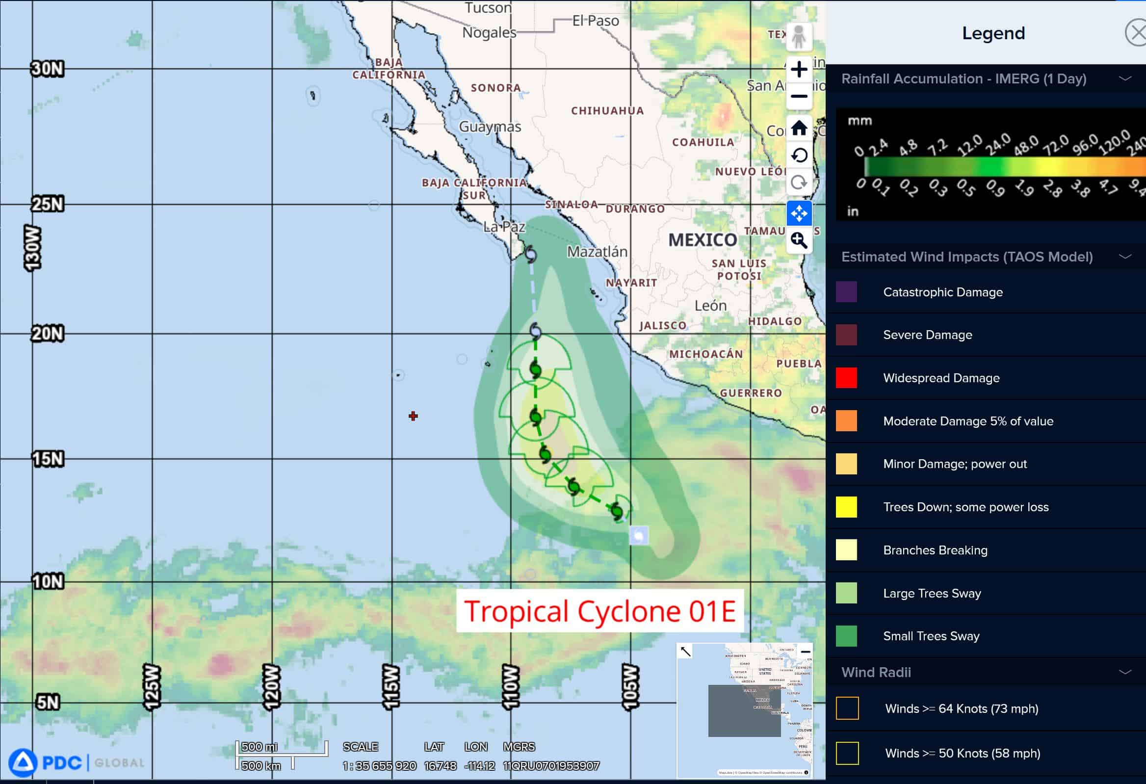
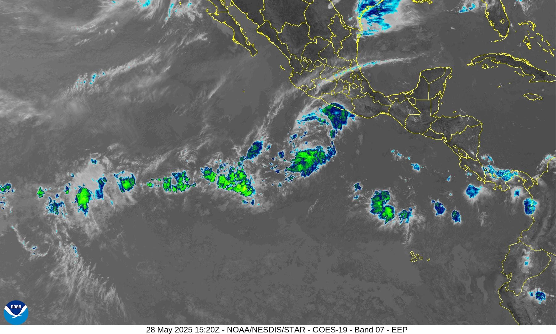
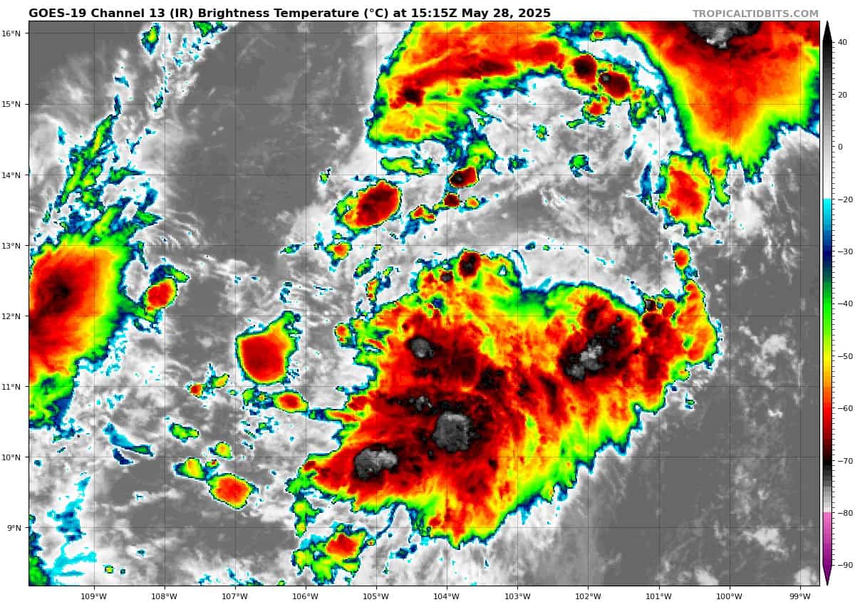
Tropical Cyclone 01E is located 770 miles south-southeast of the southern tip of Baja California
Northeast Pacific Ocean:
Tropical Cyclone 01E
DEPRESSION EXPECTED TO STRENGTHEN INTO A TROPICAL STORM ON THURSDAY
The depression is moving toward the north-northwest near 9 mph (15 km/h). This general motion is expected to continue through Thursday night, followed by a northward turn on Friday and Saturday. Maximum sustained winds are near 35 mph (55 km/h) with higher gusts. Some strengthening is expected during the next couple of days, and the depression is forecast to become a tropical storm on Thursday.
Central Pacific Ocean: There are no Tropical Cyclones
The 2024 central North Pacific hurricane season has ended. As such, the final routine Tropical Cyclone Activity Report for the 2024 season has been issued. Routine issuance of this section of the PDC product will resume on June 1, 2025. During the off-season, Special Tropical Weather Outlooks will be issued as conditions warrant by the CPHC.
Western Pacific, Indian Ocean, and adjacent Seas: There are no Tropical Cyclones
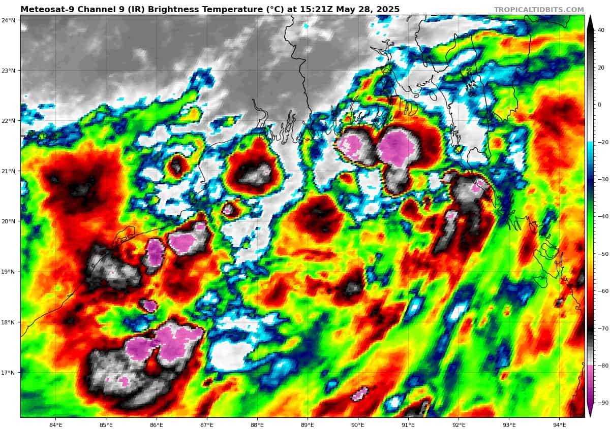
>>> There’s an area of disturbed weather being referred to as Invest 94B, which is located approximately 159 NM south of Kolkata, India
This system is currently classified as a monsoon depression, generally characterized as a large cyclonic circulation, greater than 600 NM diameter, with extensive gale-force winds over the southeastern periphery and a weak core of light winds.
Animated enhanced infrared satellite imagery depicts an elongated llcc with extensive convective banding over the southeastern periphery. An ascat image indicates a large core of weak winds (5 knots) just to the west of the circulation center, with a swath of 25 to 30 knot winds from the southeast associated with the aforementioned convective banding.
Environmental analysis indicates generally favorable conditions with low to moderate vertical
wind shear (15-20 knots), good outflow aloft, and warm sea surface temperatures. However, the system is not expected to develop into a warm-core tropical cyclone due to the limited track over water.
Global models indicate a northerly track and steady intensification, with an expected landfall over northeast India and Bangladesh within the next 24 hours. Deterministic models show gale-force winds developing prior to landfall.
Maximum sustained surface winds are estimated at 25 to 30 knots.
The potential for the development of a significant tropical cyclone within the next 24 hours remains low.