A two-day Asia-Pacific Economic Cooperation (APEC) Workshop on Applying Geospatial Hazard and Risk Information was held in Medan, Indonesia, June 30 to July 1. Implemented through the APEC Emergency Preparedness Working Group (EPWG) and organized by the U.S.-funded APEC Technical Assistance and Training Facility (TATF), the workshop was designed to strengthen participants’ abilities to understand, collect, analyze, and use geospatial information in support of disaster management-related decision making. Pacific Disaster Center (PDC) developed and conducted the hands-on workshop following the 2010 Hazard Mapping and Risk and Vulnerability Assessment Workshop successfully undertaken for EPWG in Taipei.
The event was designed for individuals with responsibilities related to hazard mapping and disaster preparedness, response and resilience. Participants from 14 APEC economies were introduced to topics in the areas of disaster risk assessment and geospatial data and technology, and they discussed methods of representing, analyzing, and using key information in a disaster management context. Case studies presented by practitioners from Mexico, Peru, and Vietnam helped illustrate the application of concepts and methods to real-world situations. Collaborative, scenario-based activities throughout the workshop enabled participants to practice using geospatial information to explore topics such as siting shelters, planning evacuations, targeting relief to vulnerable populations, and conducting outreach.
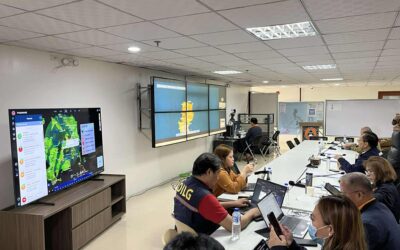
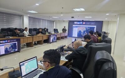
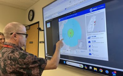
Two sessions during the workshop provided participants with hands-on experience using geospatial technology. The first introduced the group to geographic information systems (GIS) and software, and included training on the Global Hazards Atlas, a web-accessible application based on PDC’s DisasterAWARE platform. After that session, participants used the Atlas to explore and compare a variety of datasets and to answer questions related to hazards and exposure in particular areas.
The workshop, through presentations, discussions, and hands-on activities, illustrated how the use of geospatial information and technology can support more effective preparedness, response, recovery and mitigation measures.
For more about the PDC-APEC interaction:
• See participation in an APEC Preparedness Dialogue, and
• View PDC’s Project Profile on APEC.
ABOUT PDC
Pacific Disaster Center (PDC) is a leading scientific innovator of global risk reduction science and technology. As a University of Hawai’i applied science and research center, our work intersects with a variety of government, community, academic, and scientific organizations at home and around the world to build resilience to natural and man-made hazards—enhancing the capacity to quickly and accurately anticipate and prepare for new and emerging threats. Our innovations in multi-hazard early warning systems, predictive analytics, data science, and machine learning provide decision-makers with the powerful tools and insights they need to navigate today’s complex and interconnected risk landscape.