Western Pacific, Indian Ocean, and adjacent Seas:
Current Snapshot
For all the latest updates visit: DisasterAWARE
By PDC’s Senior Weather
Specialist Glenn James

The Pacific Disaster Center’s (PDC Global) Wednesday, August 13, 2025, Tropical Cyclone Activity Report…for the Pacific Ocean, the Indian Ocean, and adjacent Seas
Current Tropical Cyclones:
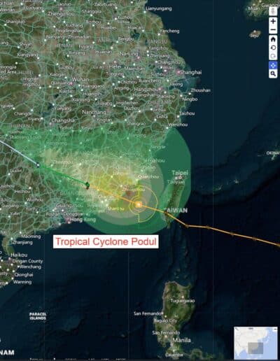
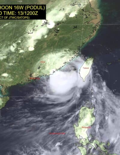
Tropical Cyclone 16W (Podul)…is located approximately 191 NM northeast of Hong Kong – Final Warning
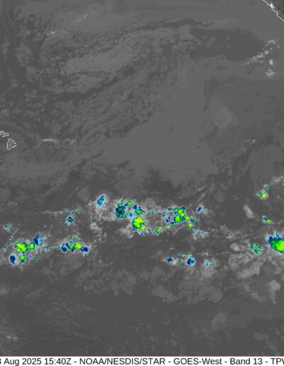
Northeast Pacific Ocean: There are no active tropical cyclones
Tropical cyclone formation is not expected during the next 7 days.
Central Pacific Ocean: There are no active tropical cyclones
Tropical cyclone formation is not expected during the next 7 days.
Western Pacific
Tropical Cyclone 16W (Podul) – Final Warning
According to the JTWC warning number 28 sustained winds are 65 knots with gusts to near 80 knots
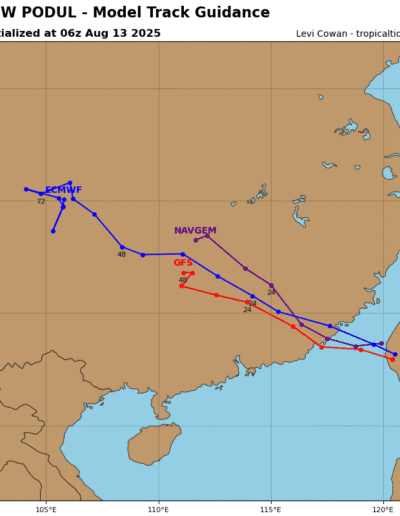
Podul made landfall near Gulei, China at approximately 131600z. The cyclone is expected to rapidly weaken as it moves inland and dissipates within 24 hours.
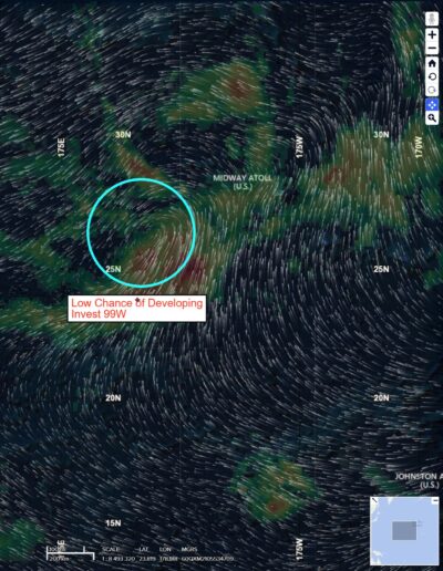
>>> There’s an area of disturbed weather being referred to as Invest 99W…which is located approximately 163 NM west of Midway.
The system is currently classified as a subtropical cyclone, generally characterized as having both tropical and mid-latitude cyclone features.
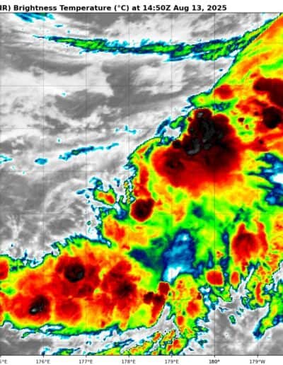
Animated enhanced infrared satellite imagery depicts an extremely elongated circulation located along the southwestern end of a weak frontal band and a partially exposed llcc typical of a subtropical system. A 130946z ascat-c pass reveals winds of up to 25 knots over the southern periphery of the llcc, with winds on the eastern side now wrapping into the llcc, separating it from the frontal band.
Environmental analysis reveals unfavorable conditions for tropical transition defined by a deep layer of dry air being advected over the circulation, cool sea surface temperatures and light to moderate northerly shear imparted by a very large upper-level low positioned to the north.
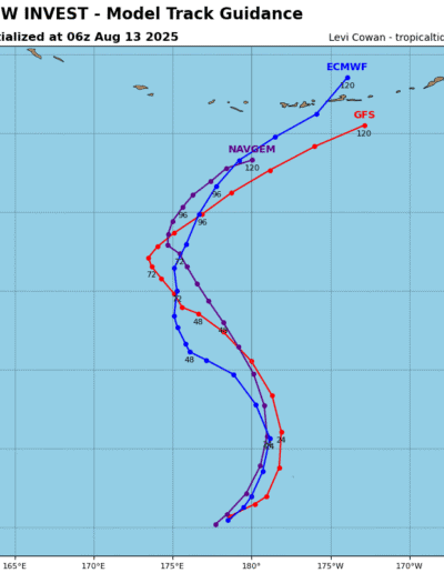
Global models are in agreement that 99W will continue to track northeast and then northward over the next 24-48 hours, with a broad and asymmetric wind field positioned well away from the center. 99W will move under the upper-level low within the next 36 hours and transition to a cold-core low.
Maximum sustained surface winds are estimated at 28 to 33 knots.
The potential for the development of a significant tropical cyclone within the next 24 hours remains low.
