
")
Current Snapshot
For all the latest updates visit: DisasterAWARE

2
1000×10001

1000×10002
By PDC’s Senior Weather
Specialist Glenn James

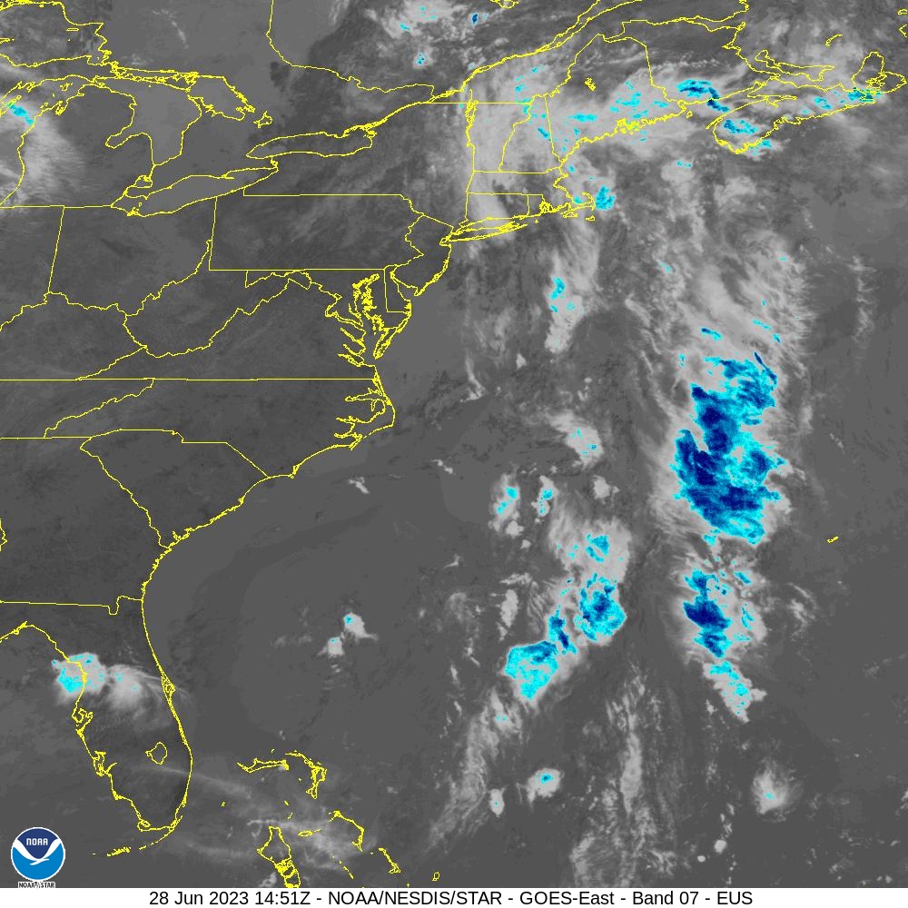
The Pacific Disaster Center’s (PDC Global) Monday, July 14, 2025, Tropical Cyclone Activity Report…for the Atlantic Ocean, the Caribbean Sea, and the Gulf of America
Current Tropical Cyclones:
There are no Tropical Cyclones
East of the Florida Peninsula into the Northeastern Gulf:
Invest 93L
>>> An area of low pressure located offshore of the east coast of Florida continues to produce disorganized showers and thunderstorms primarily south of the center. This system is forecast to move westward across the Florida Peninsula on Tuesday and Tuesday night, eventually moving into the northeastern Gulf by the middle part of this week.
Environmental conditions appear generally favorable for additional development if the system remains offshore, and a tropical depression could form as the system moves across the northeastern and north-central Gulf by the middle to latter part of this week.
Regardless of development, heavy rainfall could produce localized flash flooding over portions of Florida and the north-central Gulf coast through the middle to latter portion of this week.
* Formation chance through 48 hours…low…30 percent
* Formation chance through 7 days…medium…40 percent