
")
Current Snapshot
For all the latest updates visit: DisasterAWARE
epac
1800x1080e
By PDC’s Senior Weather
Specialist Glenn James

The Pacific Disaster Center’s (PDC Global) Thursday, July 10, 2025, Tropical Cyclone Activity Report…for the Pacific Ocean, the Indian Ocean, and adjacent Seas
Current Tropical Cyclones:
Tropical Cyclone 06W is located approximately 50 NM west-northwest of Iwo To
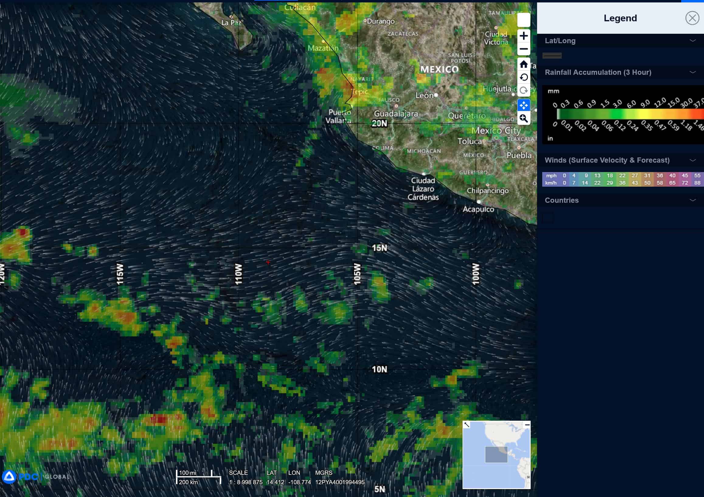
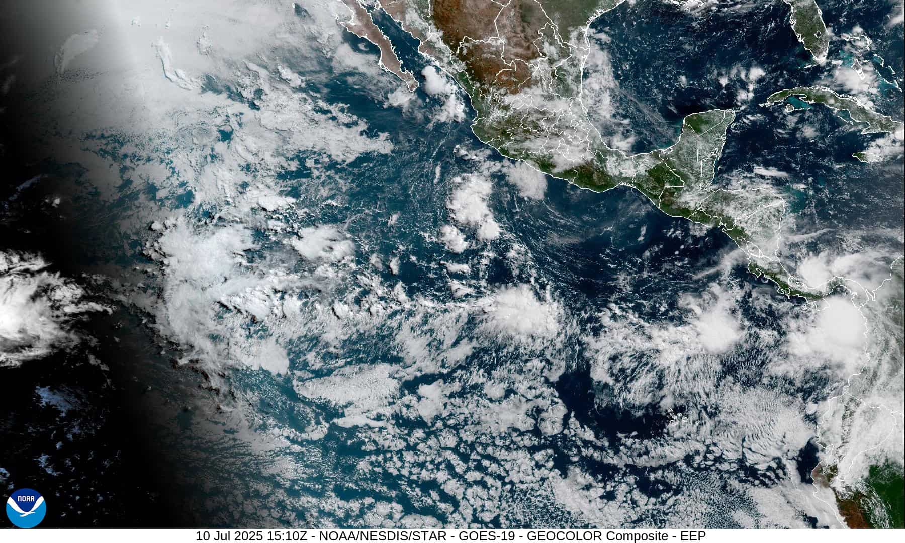
Northeast Pacific Ocean: There are no Tropical Cyclones
Tropical cyclone formation is not expected during the next 7-days.
Central Pacific Ocean: There are no Tropical Cyclones
Tropical cyclone formation is not expected during the next 7-days.
Western Pacific, Indian Ocean, and adjacent Seas:
Western Pacific
Tropical Cyclone 06W
According to the JTWC Warning number 1, sustained winds were 30 knots with gusts to near 40 knots
Animated multi-spectral satellite imagery depicts tropical depression 06W with a well-defined, exposed low-level circulation center and flaring convection displaced to the south. Deep convection was previously (at around 2200z) building over the center of the system, but has since been sheared off to the southeast. A microwave image shows the tightly wrapping low-level cloud lines with isolated pockets of deep convection within the southern periphery.
Environmental analysis indicates that 06W is in a marginally favorable environment characterized by moderate eastward outflow aloft, moderate (15-20 knot) northwesterly vertical wind shear, and warm sea surface temperatures. An upper-level trough is currently extending over the system, preventing convection from building over the center and causing the elevated shear.
06W is forecast to begin tracking slowly northward and then northeastward as ridging builds in to the east of the system over the next 36 hours. Deep-layer cyclonic turning to the north of the system will prevent a straight northward track and will guide the vortex northeastward through 48 hours. Starting at 48 hours, track speeds are expected to increase as the steering pattern becomes much more defined due to the westward propagation of the subtropical ridge. This will cause 06W to track northward through 72 hours. Near 84 hours, an incoming long wave trough will absorb the vortex and pull it quickly off to the northeast. Extra-tropical transition is forecast to complete near 96 hours as the system becomes extremely elongated and embedded within the upper-level jet max.
Regarding intensity, 06W is forecast to gradually intensify over the next 48 hours. Shear is expected to remain relatively high throughout the forecast period (15-20 knots) as a series of upper-level cyclones interact with the system. However, outflow will be enhanced in the eastward and poleward directions, allowing for the intensification. Gale-force winds are expected to be primarily confined to the eastern semicircle of the system. After 48 hours, dry air will start to be entrained into the core of the vortex, halting further intensification. An intensity near 45 knots is then forecast to persist through the remainder of the forecast period as 06W transitions into an extra-tropical cyclone.
>>> There’s an area of disturbed weather, which is being referred to as Invest 92W, and is located approximately 162 NM north-northwest of Kadena AB
Animated enhanced infrared satellite imagery depicts an elongated area of cyclonic turning with sparse convection flaring to the northeast of the low level circulation (llc). Furthermore, a 101313z ascat metop-b pass emphasizes the broad nature of 92W.
Environmental analysis indicates 92W is in a marginally favorable environment for development with warm sea surface temperatures, moderate to high (20-25 knot) westerly vertical wind shear, and moderate equatorward outflow to the east of the system.
Global deterministic and ensemble models are in fair agreement on a northward track over the next 24-36 hours, with gfs being the most aggressive in terms of intensity.
Maximum sustained surface winds are estimated at 15 to 20 knots.
The potential for the development of a significant tropical cyclone within the next 24 hours remains low.