
")
Current Snapshot
For all the latest updates visit: DisasterAWARE
epac
1800x1080e
wpac
10
By PDC’s Senior Weather
Specialist Glenn James

The Pacific Disaster Center’s (PDC Global) Wednesday, July 9, 2025, Tropical Cyclone Activity Report…for the Pacific Ocean, the Indian Ocean, and adjacent Seas
Current Tropical Cyclones:
There are no Tropical Cyclones
Northeast Pacific Ocean: There are no Tropical Cyclones
Tropical cyclone formation is not expected during the next 7-days.
Central Pacific Ocean: There are no Tropical Cyclones
Tropical cyclone formation is not expected during the next 7-days.
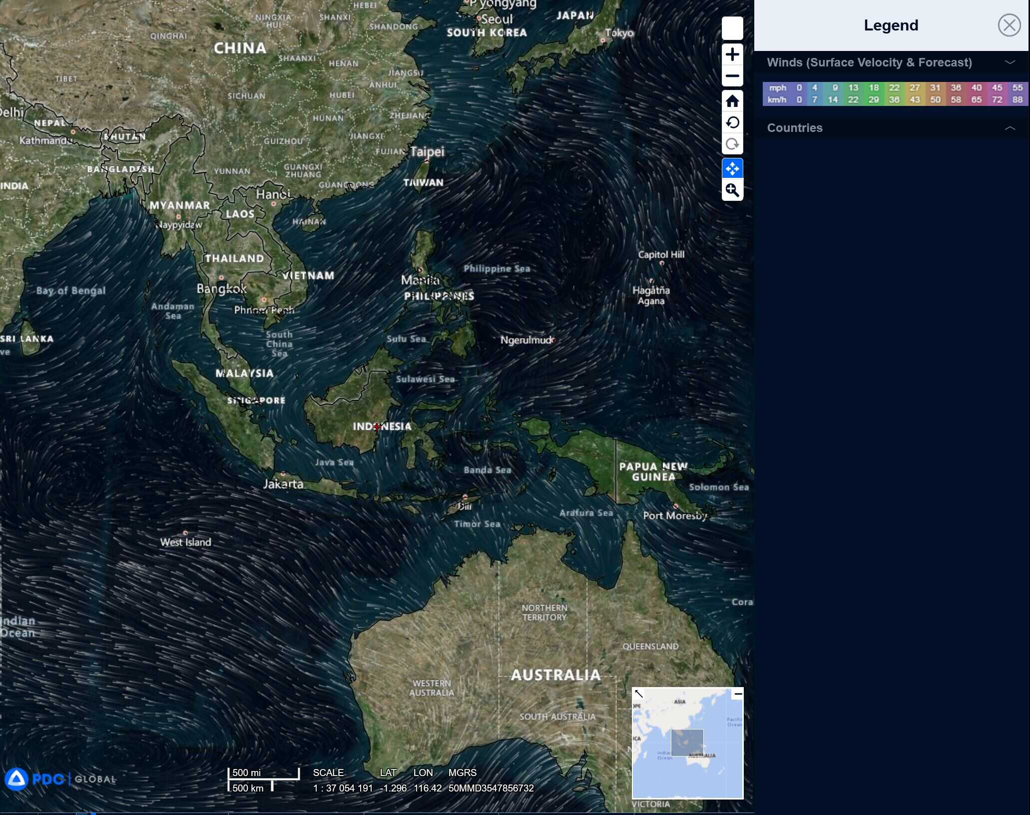
Western Pacific, Indian Ocean, and adjacent Seas: There are no Tropical Cyclones
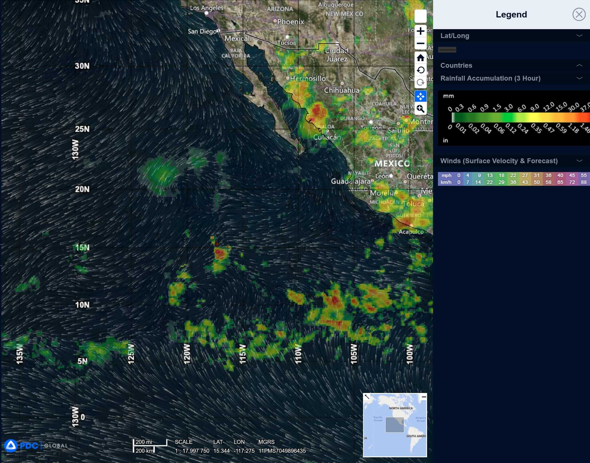
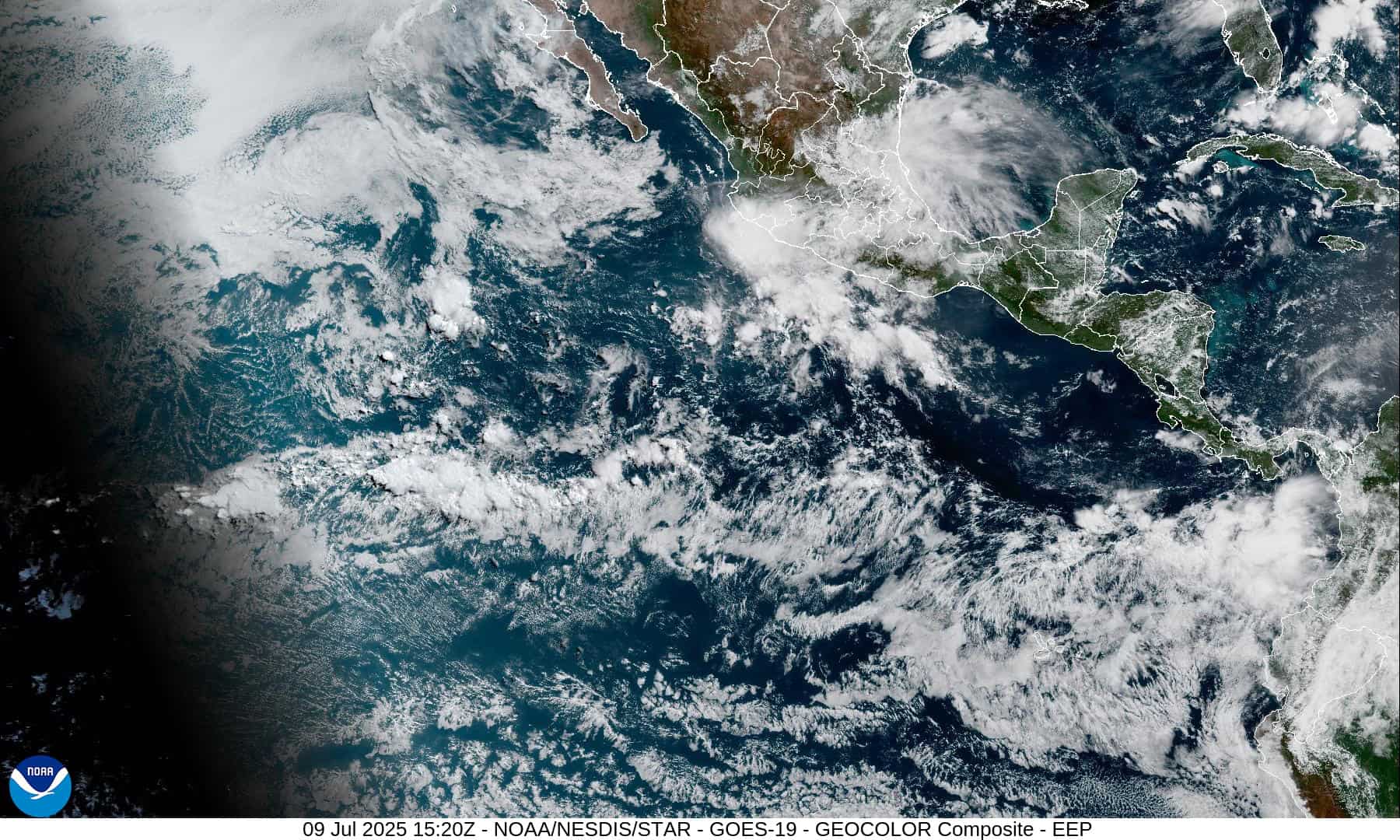
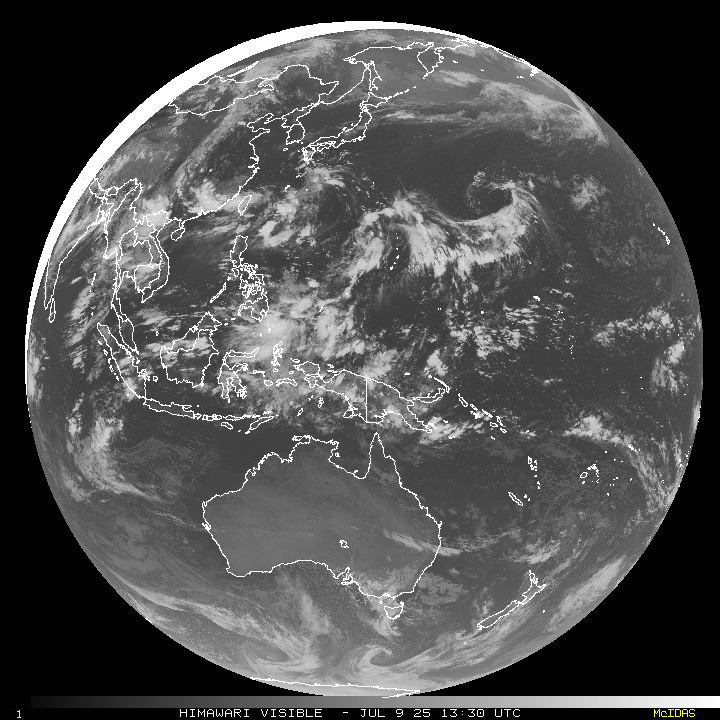
Western Pacific
>>> There’s an area of disturbed weather, which is being referred to as Invest 93W, and is located approximately 169 NM south of Iwo To
Multi-spectral satellite imagery (msi) depicts a poorly organized low level circulation center (llcc) obscured by flaring convection that is sheared from the east. Another pass reveals an elongated circulation with its strongest winds isolated to the south.
Environmental analysis for the area indicates marginally favorable conditions for development with low to moderate vertical wind shear (10-15 knots), warm sea surface temperatures and moderate equatorward outflow aloft.
Global deterministic models are in fair agreement that the area of convection 93W will continue north as it gradually intensifies over the next 72 hours. Ensemble guidance agrees on a northeastward track with ecens being more aggressive on development than the gefs.
Maximum sustained surface winds are estimated at 18 to 23 knots.
The potential for the development of a significant tropical cyclone within the next 24 hours is low.