Modeling Dam Failure Scenarios for the Hawaiian Islands
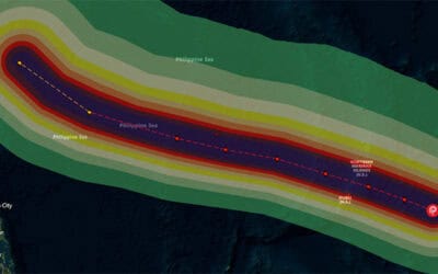
Property owners and communities can suffer severe losses when flooding occurs. Information resources that illuminate flood risks provide focus for mitigation and preparedness efforts that will help save lives and reduce economic impact. In early 2006, a series of record-breaking flood events inundated the Hawaiian Islands. The damage was compounded when the Ka Loko Dam failed on the island of Kauai, killing seven people and destroying several homes. With more than 100 dams in Hawaii, assessing potential flood risk is crucial to minimizing impacts from dam failure events.
Under contract with Hawaii’s Department of Land and Natural Resources (DLNR) Dam Safety Division, PDC modeled dam failure scenarios for all 135 dams registered in the state of Hawaii. Based on the output from these models, PDC created flood inundation maps that provided an overall view of water depth and flood travel time, an exposure assessment of community infrastructure, and an estimate of potential economic damage to private structures and businesses. The maps continue to provide a basis for assessing risk in Hawaii’s downstream areas, supporting emergency preparedness and evacuation planning throughout the state.
ABOUT PDC
Pacific Disaster Center (PDC) is a leading scientific innovator of global risk reduction science and technology. As a University of Hawai’i applied science and research center, our work intersects with a variety of government, community, academic, and scientific organizations at home and around the world to build resilience to natural and man-made hazards—enhancing the capacity to quickly and accurately anticipate and prepare for new and emerging threats. Our innovations in multi-hazard early warning systems, predictive analytics, data science, and machine learning provide decision-makers with the powerful tools and insights they need to navigate today’s complex and interconnected risk landscape.